ルートプランナー機能アップデート
App
ログインまたはサインアップ
アプリを入手
ログインまたはサインアップ
ルート
Places to see
Natural Monuments
ポルトガル
レイリア

カルダス・ダ・ライーニャ

カルダス・ダ・ライーニャの天然記念物・トップ15


カルダス・ダ・ライーニャが誇る美しい風景を見てみたいなら、カルダス・ダ・ライーニャの素晴らしい天然記念物・トップ15
に行ってみましょう。あなたにぴったりの場所が見つかるよう、素晴らしい天然記念物を探索するために必要なすべての情報を集めました。次のアウトドアの冒険に出かける計画の参考にしましょう。

最終更新日: 9月 12, 2026

サリール・ド・ポルトの砂丘

ハイライト • 自然記念物

Praia de Salir do Porto is next to the mouth of the Rio Tornada or Rio Salir on the south bank. The sand is very extensive, it is wider in …

翻訳者 Google •

役立つ情報

によるものです

ここでのハイキングを見るスマートフォンに送信
保存

フォス・ド・アレーリョ海岸

ハイライト • ビーチ

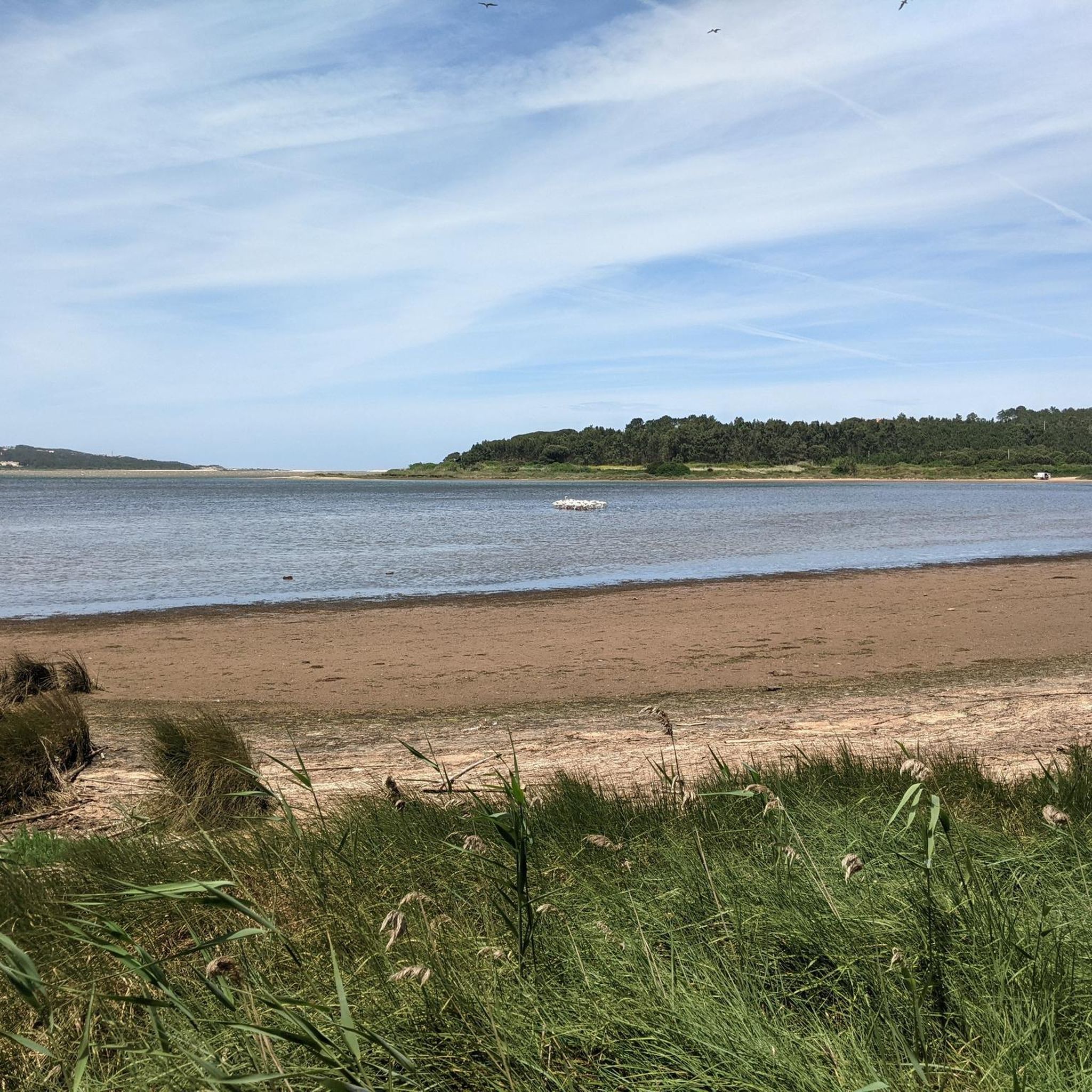
Great sandy beach. You can swim in the Atlantic Ocean amid enormous waves, or in the lagoon in the shallow water. The lagoon is very suitable for children.

翻訳者 Google •

役立つ情報

によるものです

保存

今すぐサインアップして、こんな場所を発見しよう

最高のシングルトラック、ピーク、その他のエキサイティングなアウトドアスポットのおすすめを受け取ろう。

無料新規登録

Fonte Pena da Colvina

ハイライト • 自然記念物

The Pena da Gouvinha fountain used to serve the locals. There was a queue to fill the bottles, so much so that it was decided that each resident could only …

翻訳者 Google •

役立つ情報

によるものです

保存

恐竜の足跡

ハイライト • 自然記念物

This place was mentioned in the travel guide and on Google maps, but it is not easy to find. I was expecting a tourist attraction with signs and thought you …

翻訳者 Google •

役立つ情報

によるものです

保存

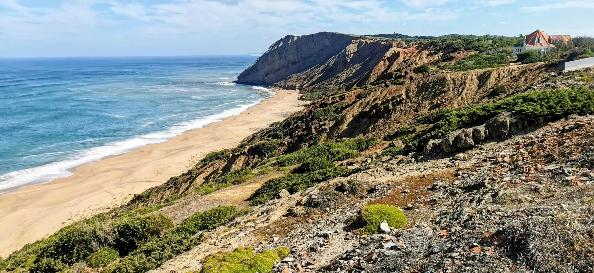
Praia dos Covões

ハイライト • ビーチ

Beautiful long stretched beach with steep cliffs behind. Often deserted because there are no restaurants, toilets, etc. Of course, therefore also unguarded. Parking is possible either at the end of …

翻訳者 Google •

役立つ情報

によるものです

保存

無料でサインアップして、さらに多くの自然記念物を発見しましょう カルダス・ダ・ライーニャでの。

無料新規登録

すでにアカウントをお持ちですか?

無料アカウントで今日から始めよう

次の冒険が待っています。

ログインまたは登録

カルダス・ダ・ライーニャ周辺で人気

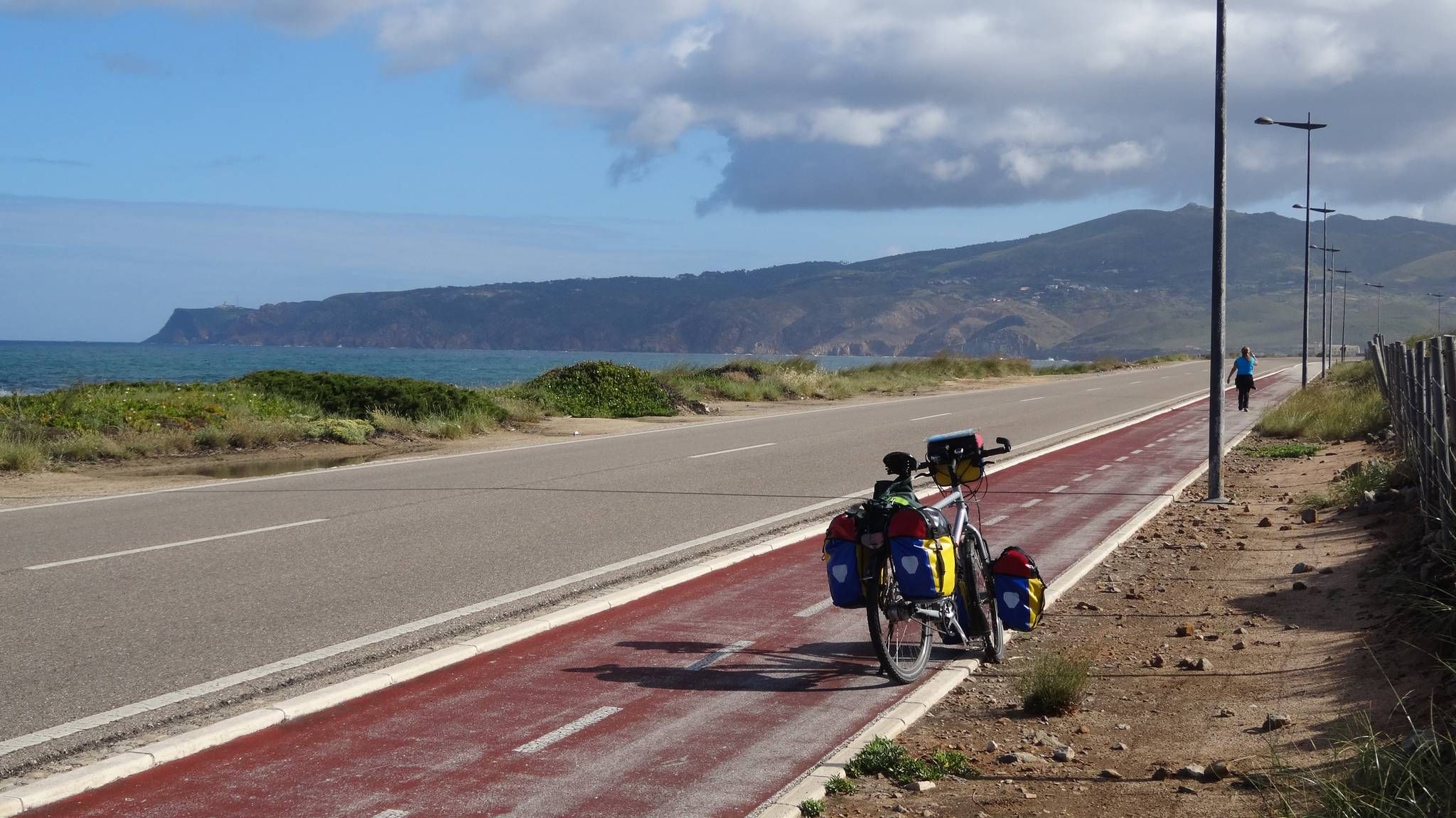
大西洋沿岸サイクリング - EuroVelo 1 ポルトガル

リスボンからポルトまでのポルトガルの大西洋沿岸沿いのサイクルツアー

カルダス・ダ・ライーニャでのサイクリング

カルダス・ダ・ライーニャでのハイキング

カルダス・ダ・ライーニャのロードバイクルート

カルダス・ダ・ライーニャのMTBトレイル

カルダス・ダ・ライーニャのランニングコース

カルダス・ダ・ライーニャでののグラベルライド

カルダス・ダ・ライーニャでのの他の冒険

大西洋沿岸サイクリング - EuroVelo 1 ポルトガル

サイクリングのコレクション によって

Hannah

コミュニティからのヒント

Mike Oglethorpe
7月 14, 2026, Praia dos Covões

私とは違い、出発前に必ず潮汐時刻を確認してください。 岸辺の激しい波の中を泳ぎたくなかったので、元の計画を変更しなければなりませんでした。それでも予備の目的地にたどり着くことはできませんでした。

Google翻訳による翻訳

0

0

At this exact spot there is only a turning circle for cars - and Google Maps also shows the spot a few 100m further to the southwest: so there is nothing right here!

Google翻訳による翻訳

0

0

The Pena da Gouvinha fountain used to serve the locals. There was a queue to fill the bottles, so much so that it was decided that each resident could only take eight bottles of water and would have to “give others a chance”. Today it serves as a stopping point to cool off during the walk and, if you wish, you can take advantage of the place to eat whatever you have prepared at home. There is a picnic area next to the fountain. The place name Pena da Gouvinha suggests that barbarians passed through here. Gouvinha is a personal name of Germanic origin, still documented in the 12th century as Gaudina.

Google翻訳による翻訳

3

0

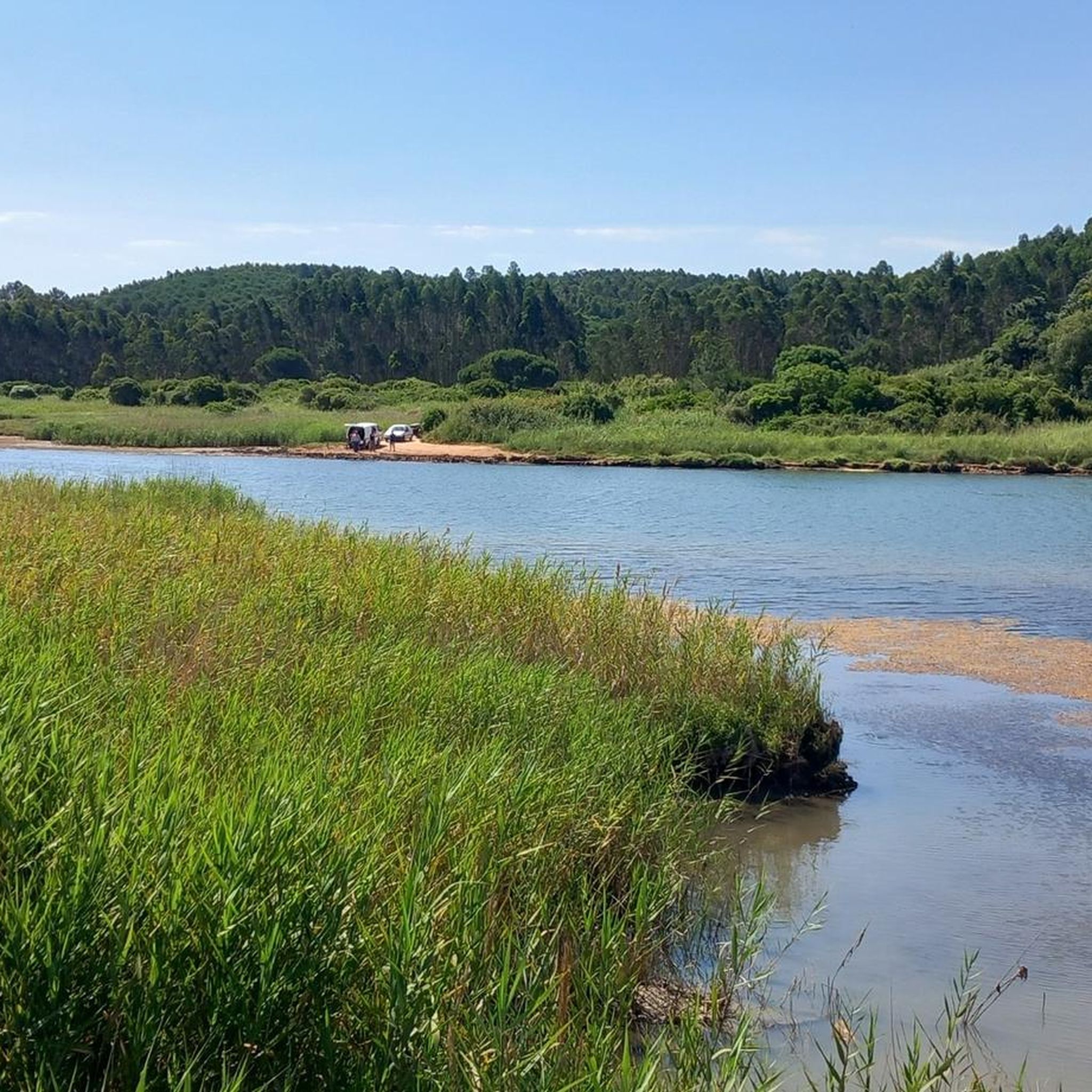
Salir do Porto has a river beach, on the bank of the Tornada River, which flows into the bay of São Martinho do Porto. Salir beach is famous for its sand dune about 50 meters high. Once the largest in Europe, the Salir Dune stands out in the dune landscape of São Martinho Bay. The core of the Dune is partly made up of red sandstone, a vestige of an older dune – a fossil dune. There are other rock beaches in the coastal area that are locally called Quebradas. It was in the Ruins of the artisanal Customs House of Salir that the caravels that participated in the discoveries and conquests were built during the reigns of D. Afonso V and D. João II. The extinct parish was made up of the towns of Salir do Porto, Casais de Salir do Porto and Bouro.

Google翻訳による翻訳

0

0

Climbing up the sand dune and sliding down from the top is the highlight for everyone

Google翻訳による翻訳

3

0

Be sure to go up there from the top, great view and slide down on your bum. Large dune that clings to the rocks there, perfect for hiking. At the foot of the dune, the Tornada river flows into the sea.

Google翻訳による翻訳

3

0

The Óbidos Lagoon is a fascinating combination of natural beauty, cultural heritage and adventure activities. This coastal lagoon with its unique ecosystem

Google翻訳による翻訳

1

1

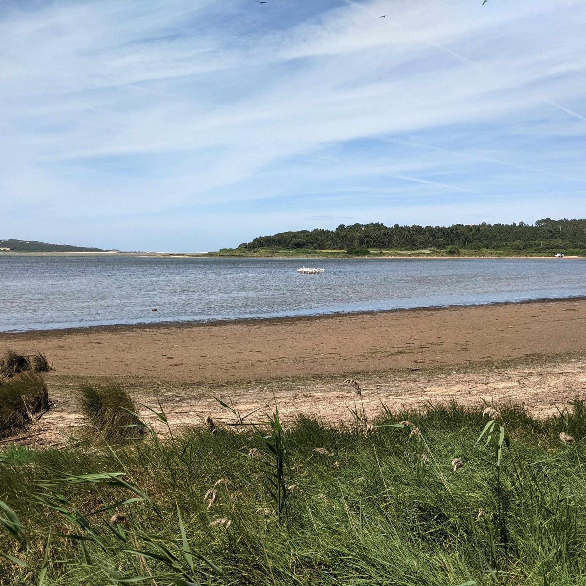
Praia de Salir do Porto is next to the mouth of the Rio Tornada or Rio Salir on the south bank. The sand is very extensive, it is wider in the south and narrows as we walk north. This beach is known for its huge dune about 50 meters high, the highest in Portugal.

Google翻訳による翻訳

3

0

カルダス・ダ・ライーニャでのの人気ルート

カルダス・ダ・ライーニャでのサイクリング

カルダス・ダ・ライーニャでのの人気観光スポット

Places to see

Store rating

komootモバイルアプリでインスピレーションを得よう

無料のkomootアカウントがあれば、無限のアウトドアコースを簡単に見つけてカスタマイズし、ナビで案内できます。

または

今すぐkomootに参加しよう
Store rating

さらに探索

これらのガイドで、最高の洞窟を探す範囲を広げましょうカルダス・ダ・ライーニャでの:

São Martinho Do PortoFamalicãoCelaPataiasアルコバサVestiariaMaiorgaBárrioFerrelAtouguia Da BaleiaValado Dos FradesNazaréCozAlpedrizペニシェナザレPeniche (Ajuda)Peniche (Conceição)MontesSerra D' El-ReiAmoreiraオビドスOlho MarinhoAlcobaçaTornadaポルト・デ・モース(Porto De Mós)VauSão MamedeバターリャPorto De Mós (São Pedro)Porto De Mós (São João Baptista)Calvaria De CimaAlqueidão Da SerraMira De AireSão BentoPedreirasJuncalReguengo Do FetalBatalhaAlvadosAlcariaAljubarrota (Prazeres)ボンバラルSerro Ventosoフィゲイロ・ドス・ヴィンホスSerras de Aire eCandeeiros自然公園国立公園SerrasAire e CandeeirosMendigaAljubarrota (São Vicente)ArrimalAlfeizerãoCastanheira De Pêraカスタンヘイラ・デ・ペラペドローガン・グランデ(Pedrógão GrandeFoz Do ArelhoSerra Do BouroÉvora De AlcobaçaÓbidos (Santa Maria)BombarralSobral Da LagoaNadadouroCaldas Da Rainha (Santo Onofre)CampeloSalir Do PortoGolpilheiraSalir De MatosPombalSanta Catarina Da SerraCortesChainçaCotoSanta CatarinaCarvalhal BenfeitoPedrógão GrandeAnsiãoBarreiraArrabalVimeiroCaldas Da Rainha (Nossa Senhora Do Pópulo)TurquelCoentralAlvaiázereTorre De Vale De TodosAzoiaFigueiró Dos VinhosAlvorgeCarvalhalBeneditaMaceiraÓbidos (São Pedro)GaeirasPousosAgudaVila FacaiaAnsiãoSantiago Da GuardaVale CovoLandalLagarteiraAvelarPussosGraçaPousafloresRoliçaA Dos NegrosA Dos Francos

近くのアドベンチャーガイド

Salir De Matosでやるべきこと

background

新しいピークを征服する準備をしよう

無料でサインアップ
探検する
ルートルートプランナー機能バウチャーを利用ハイキングMTBトレイルロードバイクルートバイクパッキングサイトマップ
アプリをダウンロード
SNSでフォローする

© komoot GmbH

プライバシーポリシー