カナヴェイユの天然記念物・トップ11
カナヴェイユが誇る美しい風景を見てみたいなら、カナヴェイユの素晴らしい天然記念物・トップ11
に行ってみましょう。あなたにぴったりの場所が見つかるよう、素晴らしい天然記念物を探索するために必要なすべての情報を集めました。次のアウトドアの冒険に出かける計画の参考にしましょう。
最終更新日: 10月 22, 2026
Roc de la Foradada
ハイライト • 自然記念物
翻訳を表示中
役立つ情報 は

プラ・ド・バレス川と森
ハイライト • 川
役立つ情報 は

今すぐサインアップして、こんな場所を発見しよう
最高のシングルトラック、ピーク、その他のエキサイティングなアウトドアスポットのおすすめを受け取ろう。
コル・ミジャ
ハイライト • 山道
翻訳者 Google •
役立つ情報 は

テット川のニックポイント
ハイライト • 自然記念物
翻訳者 Google •
役立つ情報 は

Pic dels Bacivers dels Prats(2,745m)
ハイライト • 山頂
翻訳者 Google •
役立つ情報 は

無料でサインアップして、さらに多くの自然記念物を発見しましょう カナヴェイユでの。
すでにアカウントをお持ちですか?
無料アカウントで今日から始めよう
次の冒険が待っています。
コミュニティからのヒント

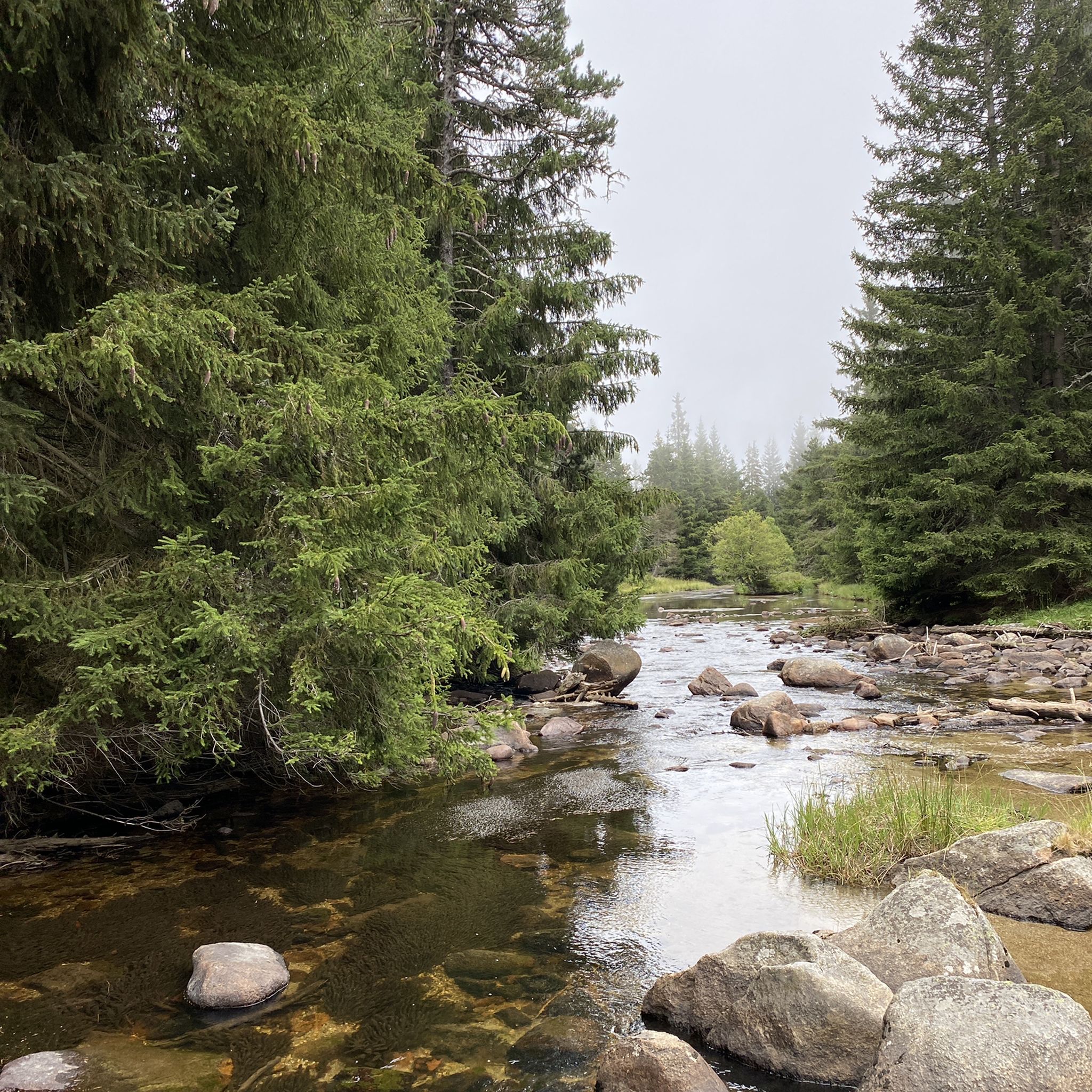
岩盤をくり抜いて作られた道で、それが名前の由来です。少しでも勇気があれば、ここを通るスリリングな冒険を楽しめるでしょう。
1
0


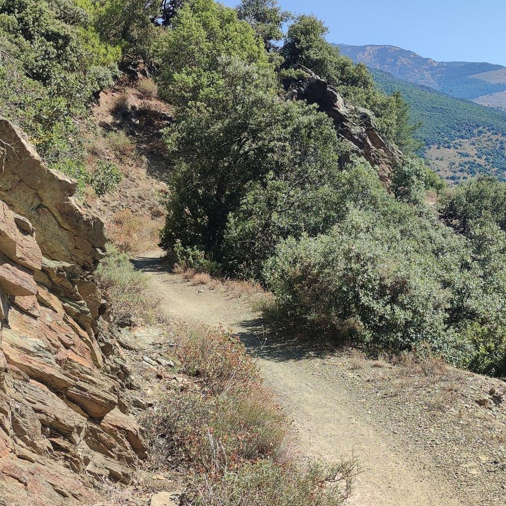
A panoramic summit slightly off the main ridge. Those who descend into the Caranca Gorge after crossing the Pic de l'Infern - Bastiments ridge can add to their 2800m collection on easy trails.
0
0


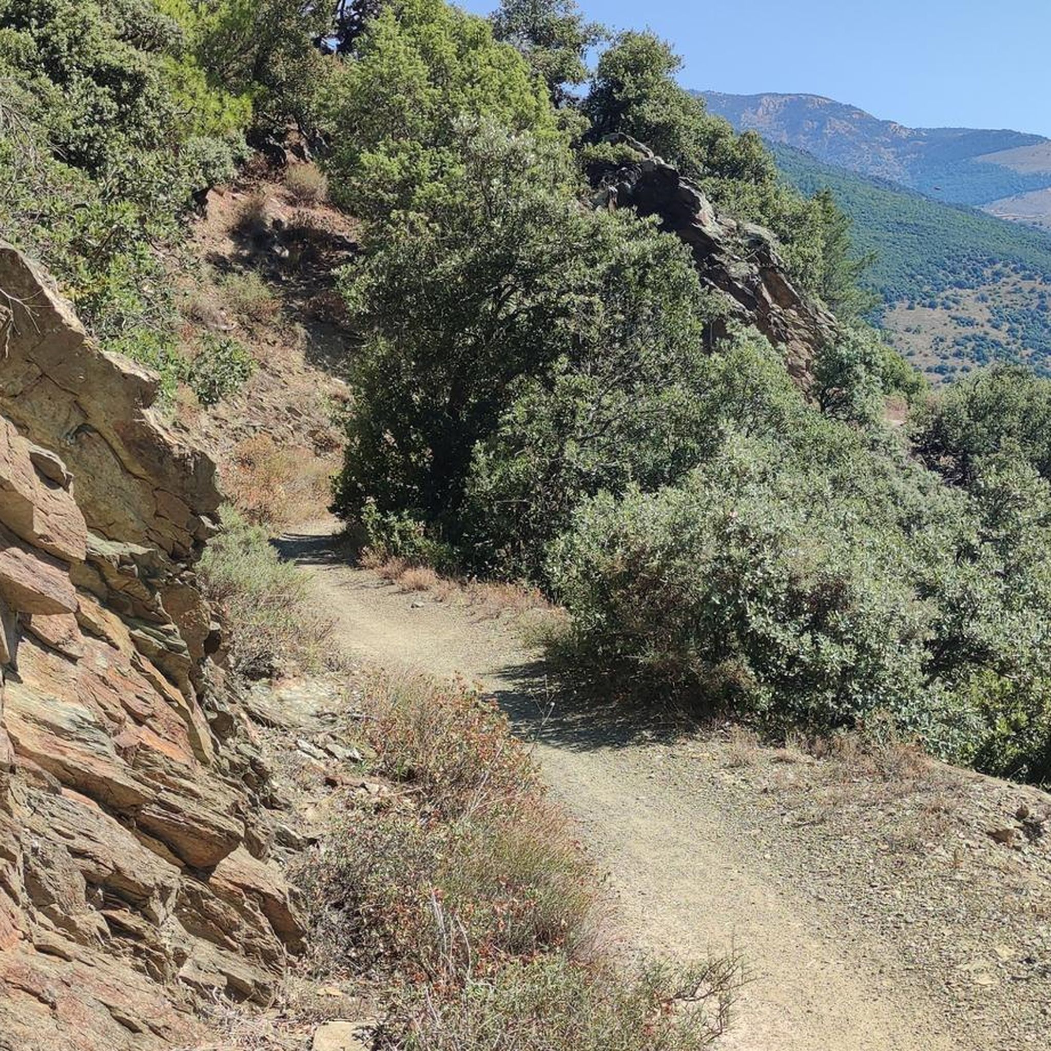
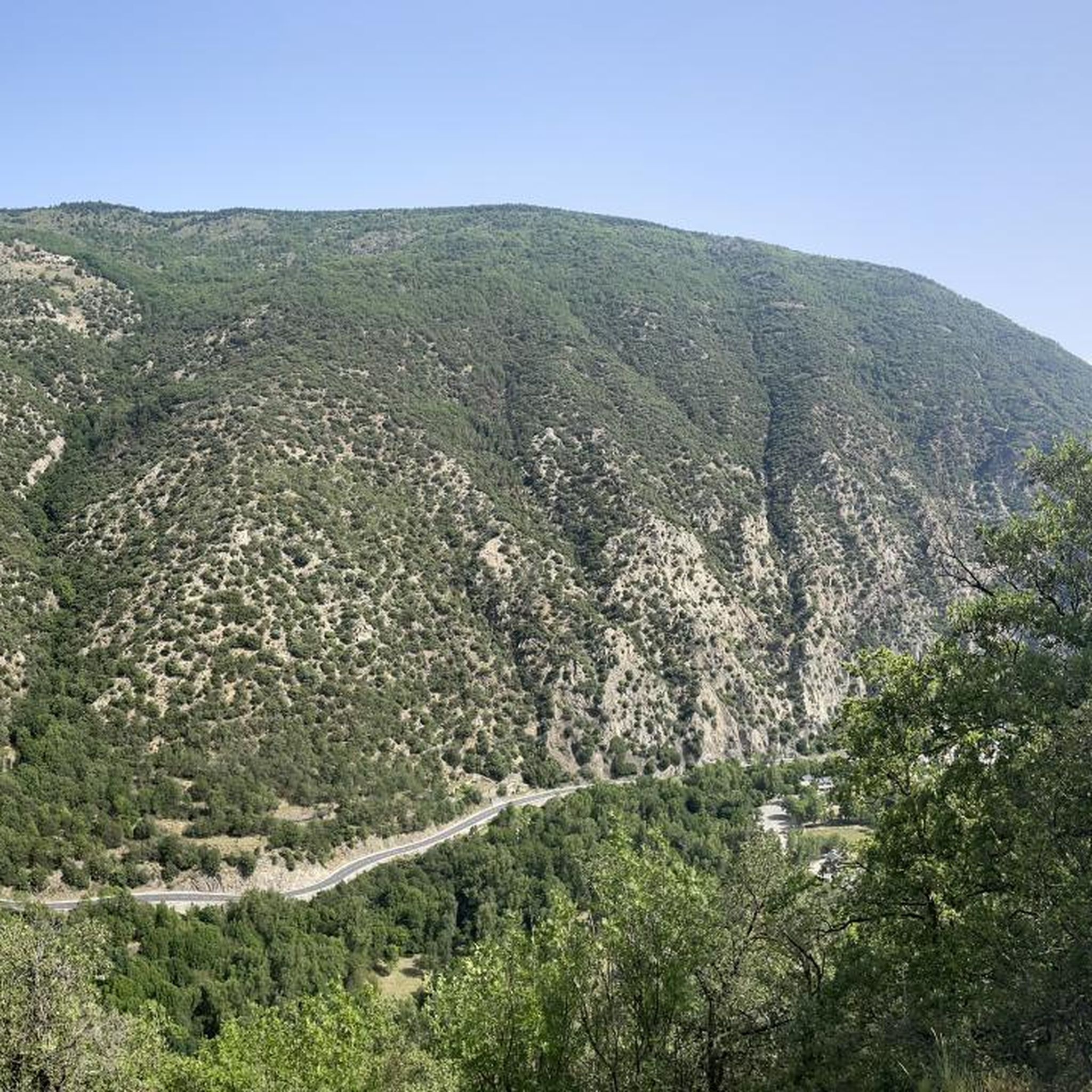
Going up the village to the antennas allows you to have a breathtaking view of the upper Têt valley. The eastern end of the Perche plateau, which carries Mont-Louis, La Cabanasse, Saint-Pierre and Planès, is dissected by the Têt and its tributaries. The landscape changes radically in a few hundred meters, the valley steepening by 500m. This topographic break point in the profile of a watercourse is called a *knick point*. It marks the place where regressive erosion has reached today following the global uplift that the region has been undergoing for around 10 Ma.
2
0
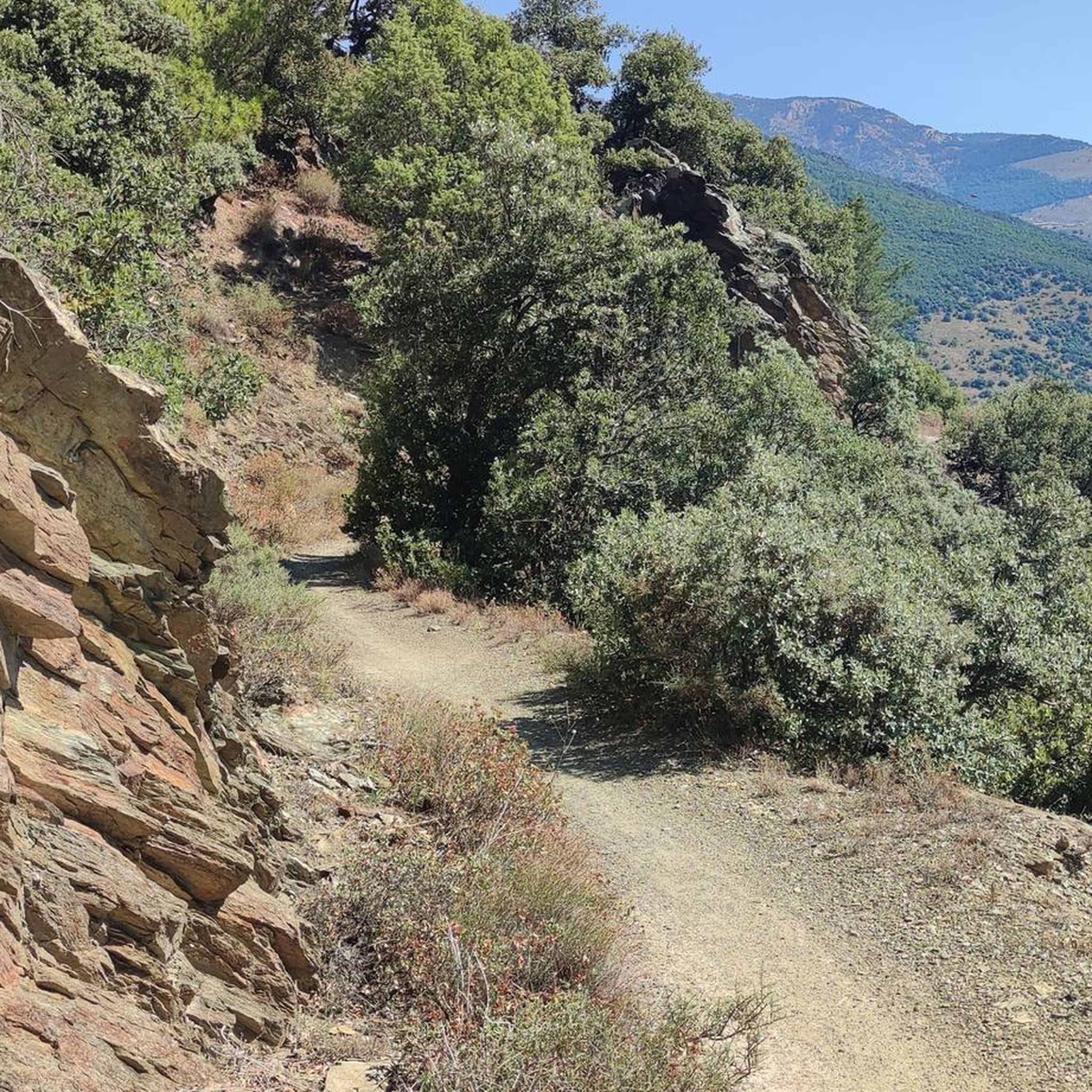
The path leaving the village offers a last view of the Cerdan landscape and the Perche plateau before heading towards the mountainous landscapes of the Orri valley. This final glance is an opportunity to visualize the layout of the three generations of flattening: the Carlit and Campcardos plateaus, the Carlit ponds and the Perche and Quillane plateaus. We can also see the imprint that the ice has left on the landscape. The tongue of ice which descended the Têt valley barely 25,000 years ago tore up, transported and deposited approximately 50 m of blocks which today form the magnificent frontal moraine of Mont-Louis and which is highlighted by the forest.
1
0

This pedestrian pass allows hikers to switch from the Carança valley to the Riberola valley. It peaks at 2,367 meters and forms the junction between two magnificent peaks: Puigs Rodon to the south, and Gallinàs to the north.
5
0
From the campsite along the river. Both sides possible, in winter pay attention to the ski slopes.
2
0
カナヴェイユでのの人気観光スポット

komootモバイルアプリでインスピレーションを得よう


さらに探索
これらのガイドで、最高の洞窟を探す範囲を広げましょうカナヴェイユでの:
