オーションの峠・トップ5
風景を楽しんだり、上りや下りを満喫したり、峠には楽しみ方がたくさんあります。オーションの素晴らしい峠の一覧を参照して、思い出に残るアドベンチャーに出かけましょう。コミュニティのメンバーがコミュニティのために投稿した峠のハイライトは、他のユーザーが実際におすすめする情報なので、どれも信頼できるものです。気に入った峠にさっそく向かってみましょう。
最終更新日: 8月 29, 2026
フォントベル峠
ハイライト • 山道
翻訳者 Google •
役立つ情報 は

コル・ディソープ
ハイライト • 山道
Geology enthusiasts will be able to distinguish the overlap of the Digne-les-Bains aquifer on that of Valensole.
翻訳者 Google •
役立つ情報 は

今すぐサインアップして、こんな場所を発見しよう
最高のシングルトラック、ピーク、その他のエキサイティングなアウトドアスポットのおすすめを受け取ろう。
無料新規登録
コル・デュ・ジャ
ハイライト • 山道
翻訳者 Google •
役立つ情報 は

コル・デ・サーニュのつづら折りの道
ハイライト • 山道
翻訳者 Google •
役立つ情報 は

ラ・ロビーヌ=シュル=ガラーブルからコル・ド・フォンベルへのグラベルルート
ハイライト (セグメント) • トレイル
This track has some passages at almost 20% …
翻訳者 Google •
役立つ情報 は

無料アカウントで今日から始めよう
次の冒険が待っています。
ログインまたは登録

コミュニティからのヒント

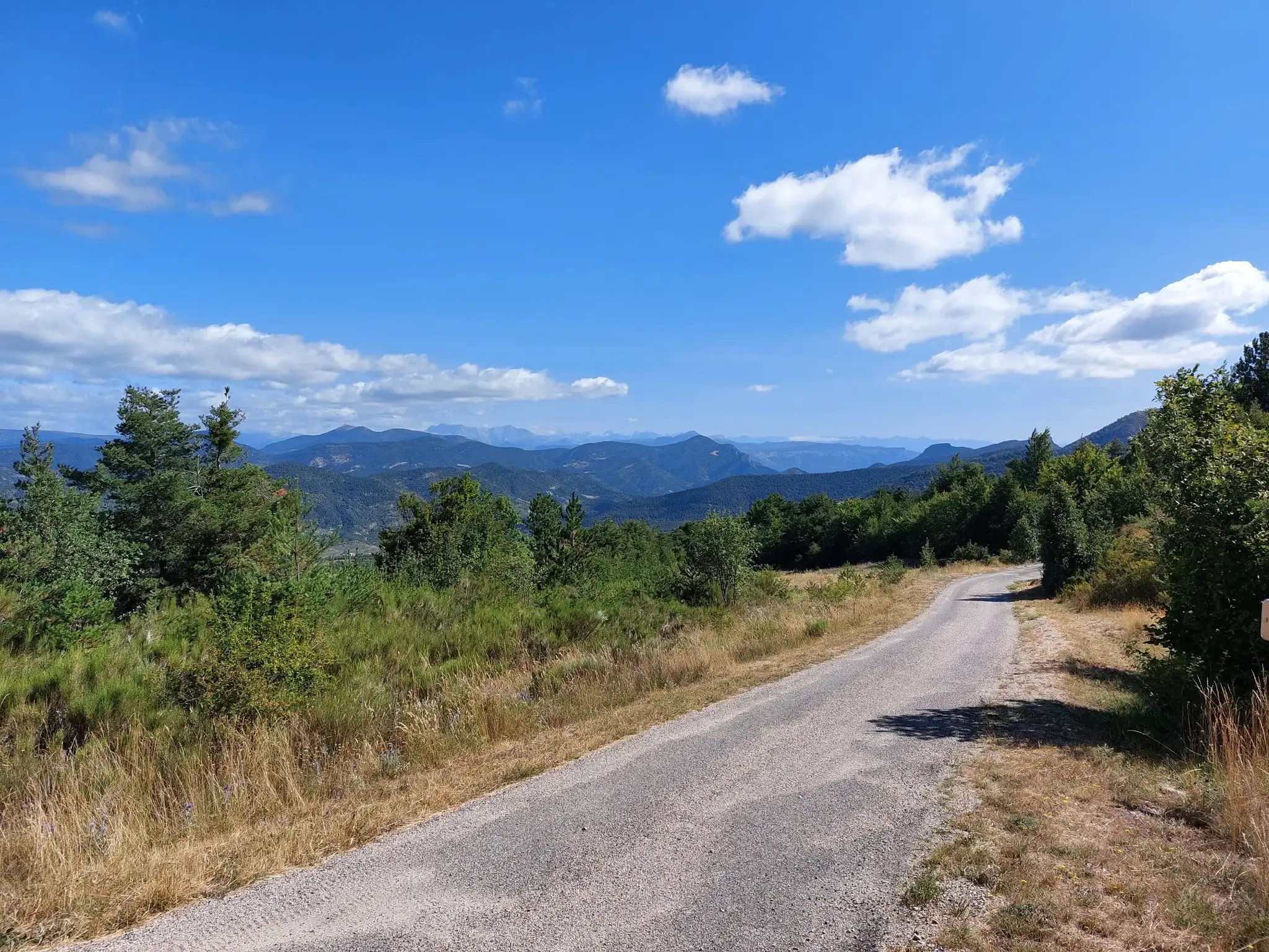
Starting from La Robine sur Galabre, we go up the gorges by road before turning off at Ainac on a gravel track. This track has some passages at almost 20% which will probably require a good development or pushing the bike a little. The track then allows you to reach the Col de Fontbelle by a nice, smooth descent. This climb is beautiful but physically demanding.
4
0

The Col du Jas culminates at 840 meters above a small forest. Accessible by a track or a path, it has the particularity of being close to the geological site of the ichthyosaur.
0
0

A great viewing platform is installed here.
0
0

Hyssope Pass is 1,236 meters above sea level. It has a view over the Duyes valley. Geology enthusiasts will be able to distinguish the overlap of the Digne-les-Bains aquifer on that of Valensole.
2
0
From Sisteron, the Col de Fontbelle is 26.3 kilometers of climbs with segments at 6 or 7%, and others between 1.5 and 5%. In your ascent, passing the intermediate Mézien pass after the 6th kilometer tells you that you have made the first part complicated and that you are starting the second part, long but less steep. On the open parts of the pass, you can see the mountain of Gueruen and the mountain of Mélan and its Grande Aiguille.
2
0


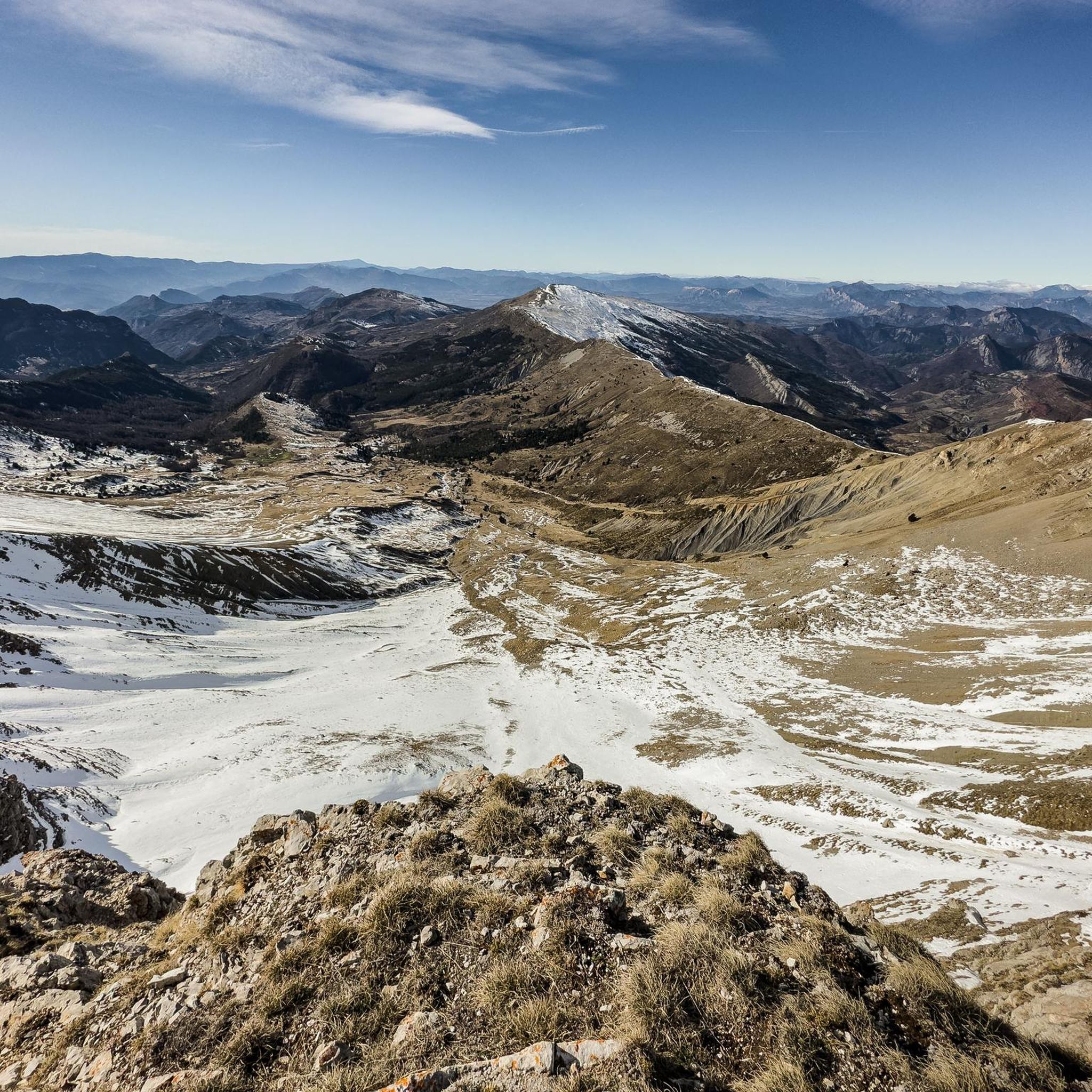
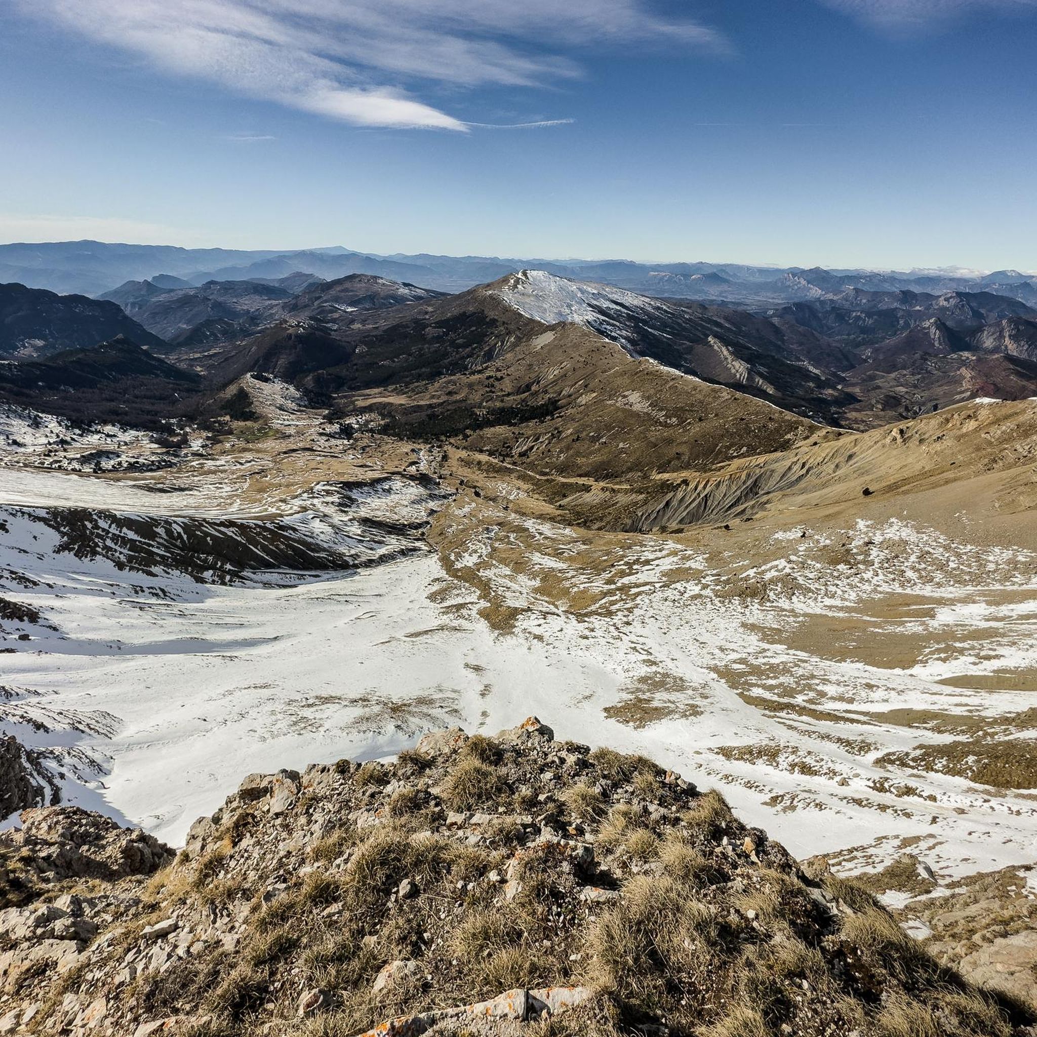
The Col de Fontbelle culminates at 1304m. From the village of Thoard it is a climb of almost 13km which comes in two parts. The first is the most difficult with sustained percentages over almost 9 km including 3 at more than 8% on average which will take you to the hamlet of Mélan then the intermediate pass of Hyssop (1236m) where moreover an exceptional panorama will offer to you (we don't make an effort for nothing anyway). The second part is relatively simple with lower percentages, barely 2.5 km at 3% average which joins the col de Fontbelle located in the forest in a VERY isolated way
3
0
The Col des Sagnes allows passage between the Durance and Grand Vallon valleys. The road is almost deserted. The only noise we hear comes from the Sasse river.
2
1
オーションでのの人気観光スポット

komootモバイルアプリでインスピレーションを得よう


さらに探索
これらのガイドでさらに壮大な山道を見てみましょうオーションでの:
