バシュレルの天然記念物・トップ11
バシュレルが誇る美しい風景を見てみたいなら、バシュレルの素晴らしい天然記念物・トップ11
に行ってみましょう。あなたにぴったりの場所が見つかるよう、素晴らしい天然記念物を探索するために必要なすべての情報を集めました。次のアウトドアの冒険に出かける計画の参考にしましょう。
最終更新日: 11月 4, 2026
4000段の階段
ハイライト (セグメント) • 山頂
In …
翻訳者 Google •
役立つ情報 は

ミニエ峠
ハイライト • 山道
翻訳者 Google •
役立つ情報 は

今すぐサインアップして、こんな場所を発見しよう
最高のシングルトラック、ピーク、その他のエキサイティングなアウトドアスポットのおすすめを受け取ろう。
ニーム=ル=ヴィユーのカオス
ハイライト • 自然記念物
翻訳者 Google •
役立つ情報 は

ラ・カン・ド・レオスピタレ
ハイライト (セグメント) • 展望台
翻訳者 Google •
役立つ情報 は

無料アカウントで今日から始めよう
次の冒険が待っています。


コミュニティからのヒント

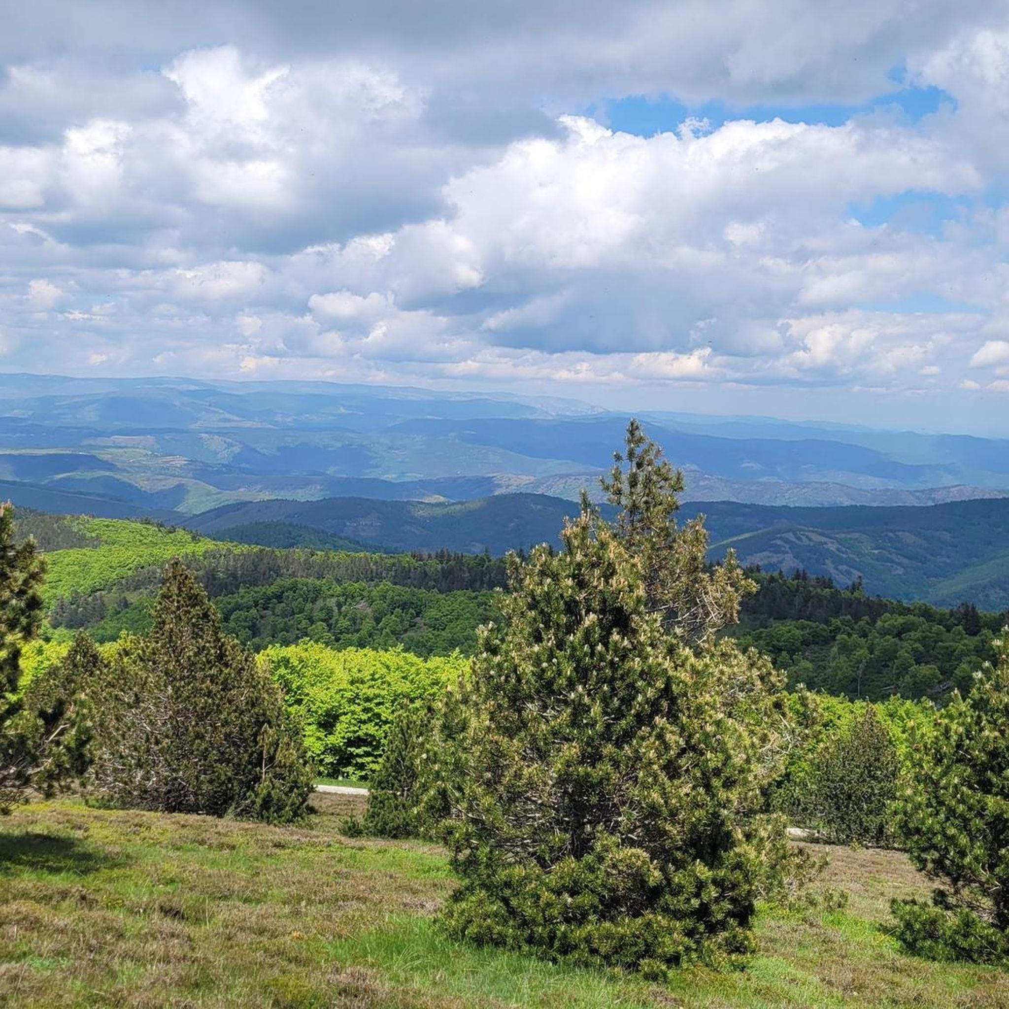
This pass, discreetly nestled among the fir trees, is a great road and pedestrian crossing. It also allows cyclists and gravel enthusiasts to take the trails that go a little deeper into the coniferous forests.
0
0


22.60 km and “Height difference” 1033m between Le Vigan and Col!
1
0

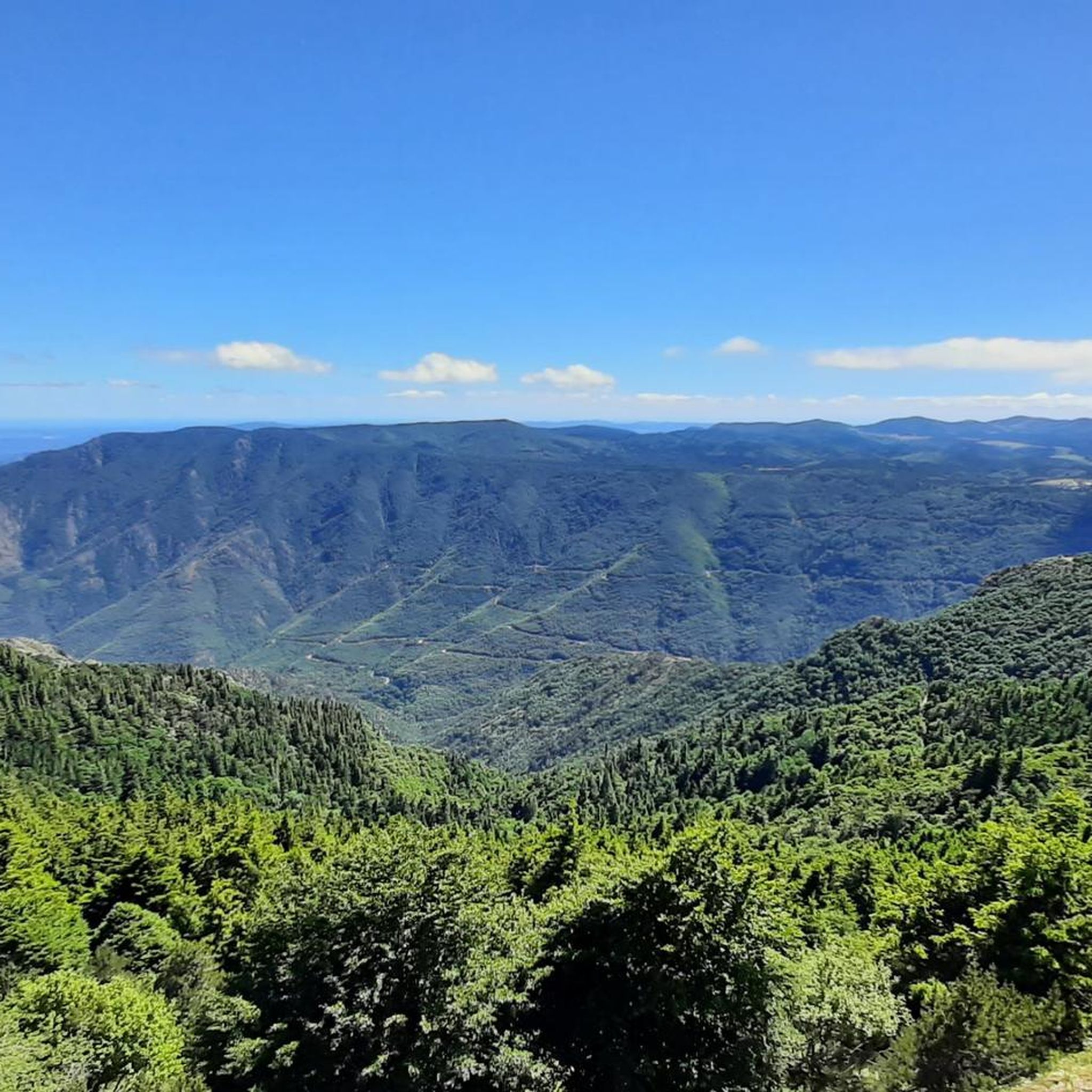
The Col du Minier with an altitude of 1,264 meters is located on the watershed between the Mediterranean Sea and the Atlantic Ocean. It is also located near a small waterfall, which is very useful for cooling off.
0
0

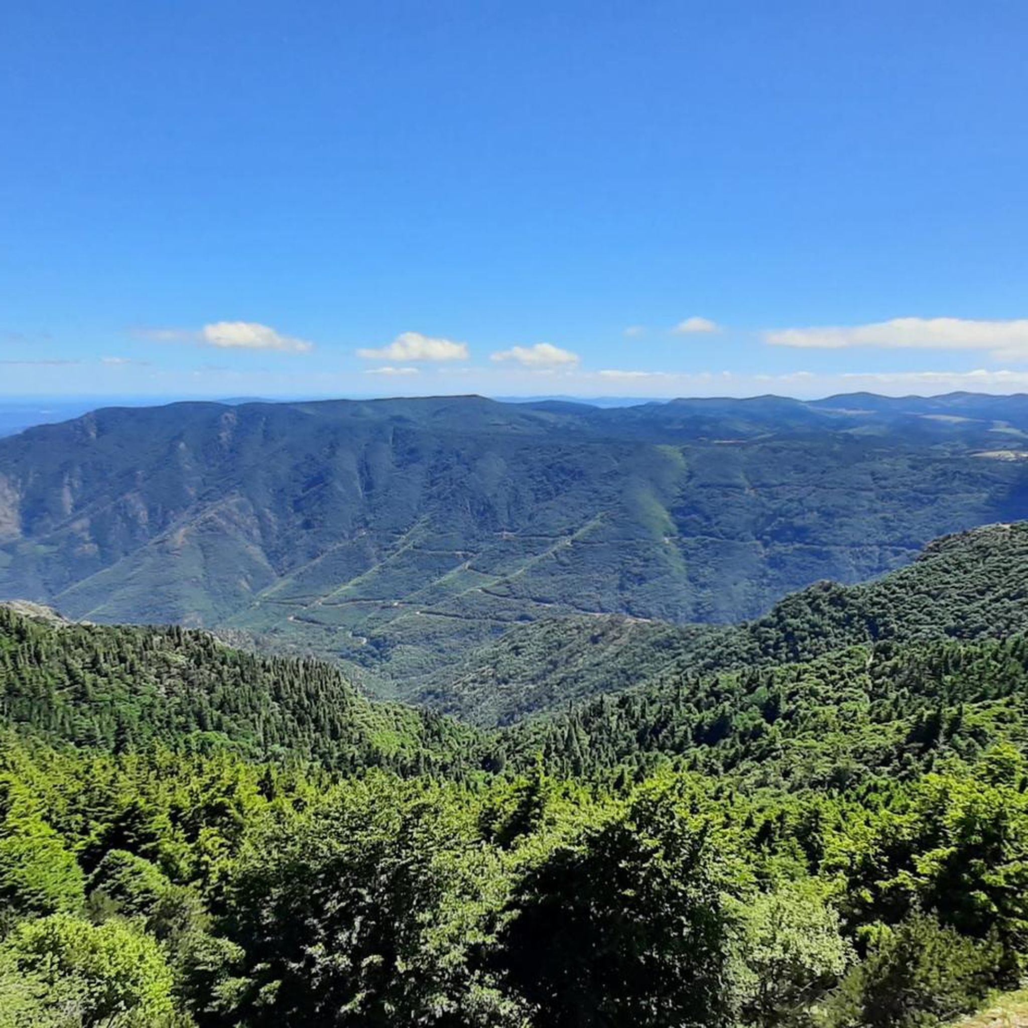
Viewpoint over the Causse Méjean from the chaos of Nîmes-le-Vieux. The Causse Méjean (or Méjan), a plateau cut by the Tarn to the north and the Jonte to the south, owes its name to its median position between the Causse de Sauveterre further north and the Causse Noir further south.
0
0
The Col du Minier with an altitude of 1,264 meters is located on the watershed line between the Mediterranean Sea and the Atlantic Ocean. It is also located near a small waterfall, which turns out to be very useful for cooling off after the climb.
1
0
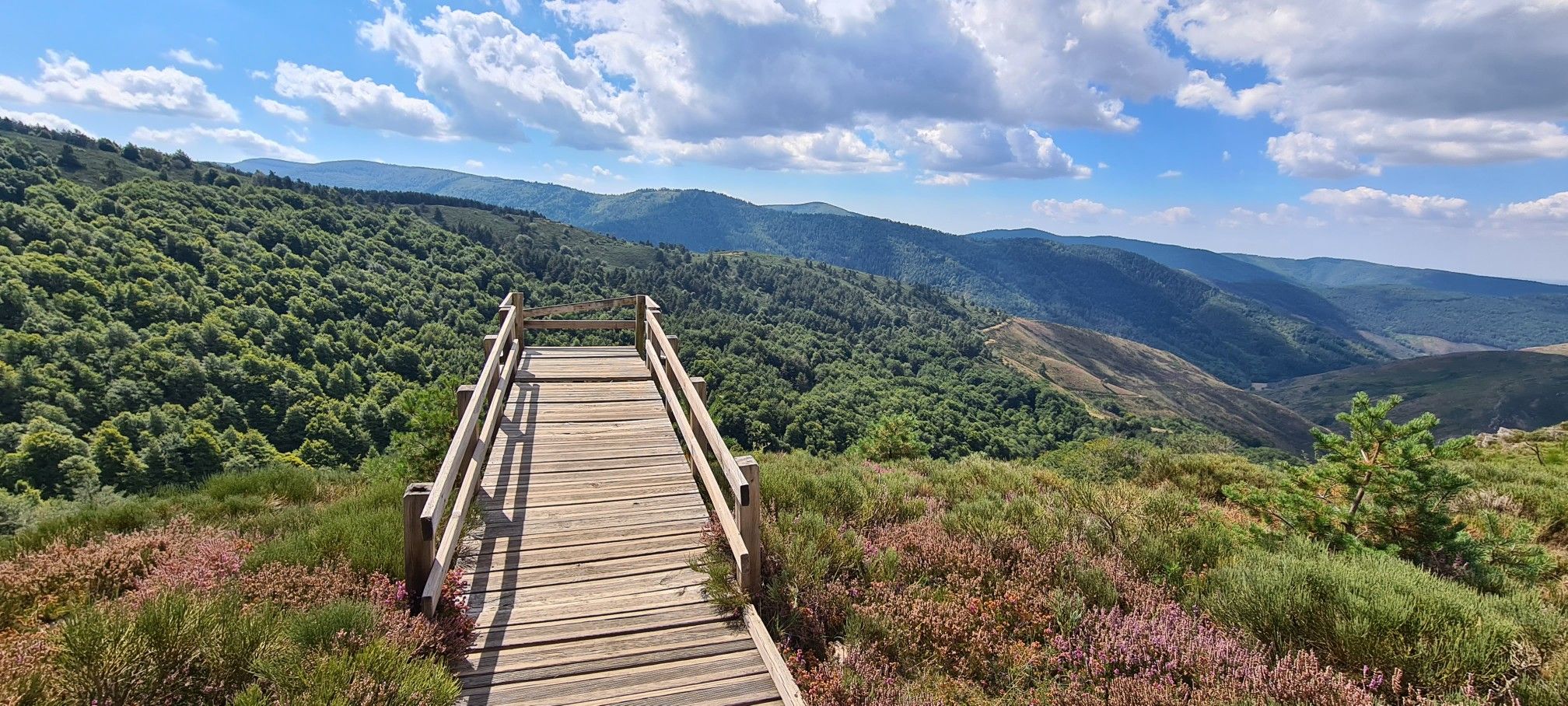
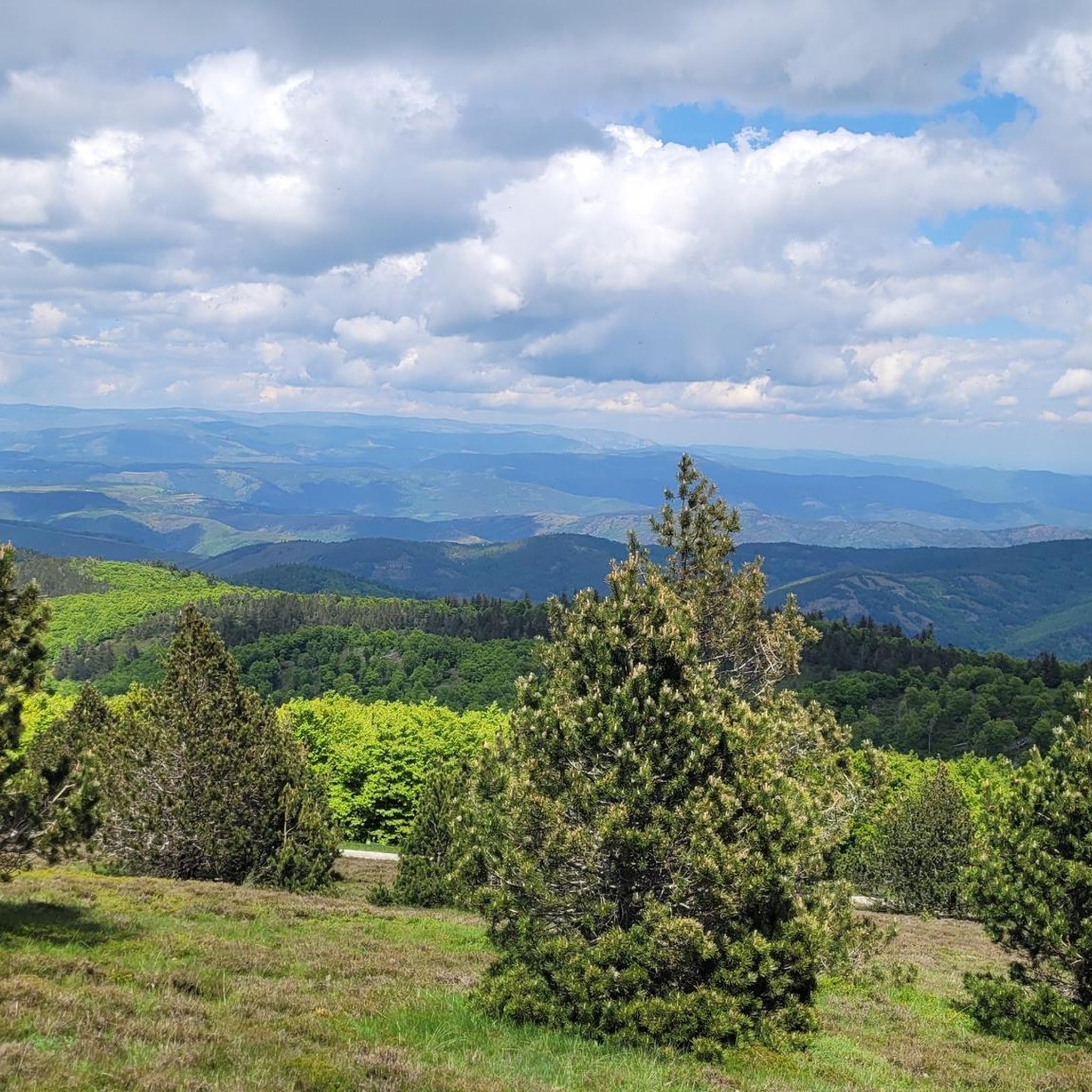
The Can de l'Hospitalet is a plateau separated from the Causse Méjean by the Tarnon. It offers magnificent views of the Cévennes. Its highest point, the Serre de Montgros, culminates at an altitude of 1,111m.
0
0
バシュレルでのの人気観光スポット

komootモバイルアプリでインスピレーションを得よう


さらに探索
これらのガイドで、最高の洞窟を探す範囲を広げましょうバシュレルでの:
