トランの絶景の山頂・トップ20
絶景を目指して登るのであれ、達成感のために登るのであれ、山頂を訪れることで、トランの美しい自然をもっと満喫することができます。20
もの選択肢の中から、制覇する山頂を決めるのは簡単ではありません。スムーズに次の冒険で目指す山頂を選べるように、トランの素晴らしい山頂をこのガイドにまとめました。
最終更新日: 8月 30, 2026
キステンシュトックリ
ハイライト • 山頂
翻訳者 Google •
役立つ情報 は

フィゼーテン峠
ハイライト • 山道
The Fisetenpass is a mountain pass in the municipality of Spiringen (Urnerboden exclave) in the canton of Uri. Its pass is at an altitude of 2036 meters …
翻訳者 Google •
役立つ情報 は

今すぐサインアップして、こんな場所を発見しよう
最高のシングルトラック、ピーク、その他のエキサイティングなアウトドアスポットのおすすめを受け取ろう。
無料新規登録
ゲムスファイレンシュトック山頂
ハイライト • 山頂
翻訳者 Google •
役立つ情報 は

ゲムスファイレンシュトックへの登りの核心部
ハイライト • 登山
Questioning or playing down official SAC ratings is completely out of the question for me. The so-called "social media alpinism" is increasingly being criticized due to the increase in irresponsible users.
翻訳者 Google •
役立つ情報 は

クラリーデン
ハイライト • 山頂
If necessary, the chain can be secured using the anchors or roped down for the descent.
翻訳者 Google •
役立つ情報 は

無料でサインアップして、さらに多くの山を発見しましょう トランでの。
無料新規登録
すでにアカウントをお持ちですか?
無料アカウントで今日から始めよう
次の冒険が待っています。
ログインまたは登録
トラン周辺で人気

Winter Magic in the Surselva – peace, space and pure nature
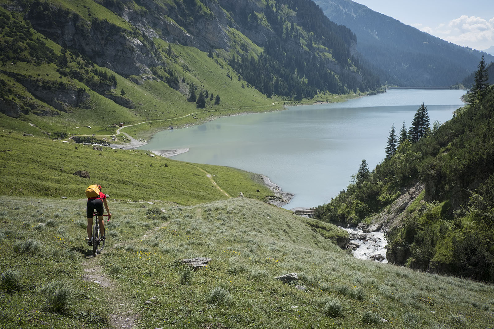
砂石とアスファルトを通ってスルゼルバを旅する - ブンデーオーベランドを旅するTOURと共に
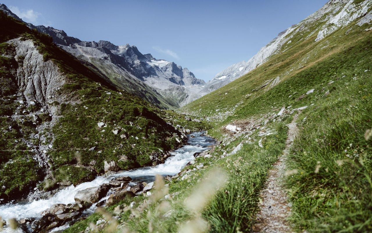
Relax and enjoy – hiking highlights of the Surselva
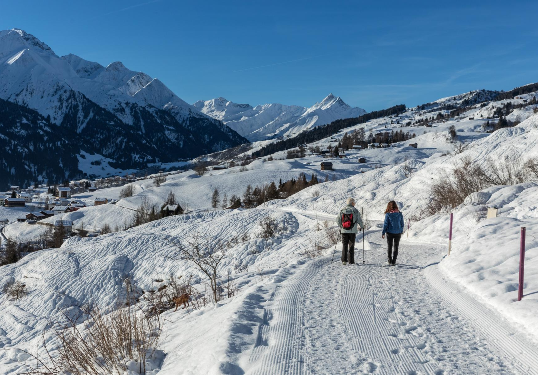
A winter mountain paradise – discover the Surselva

古道 サンティアゴ 方面 - ヤコブス グラウビュンデン
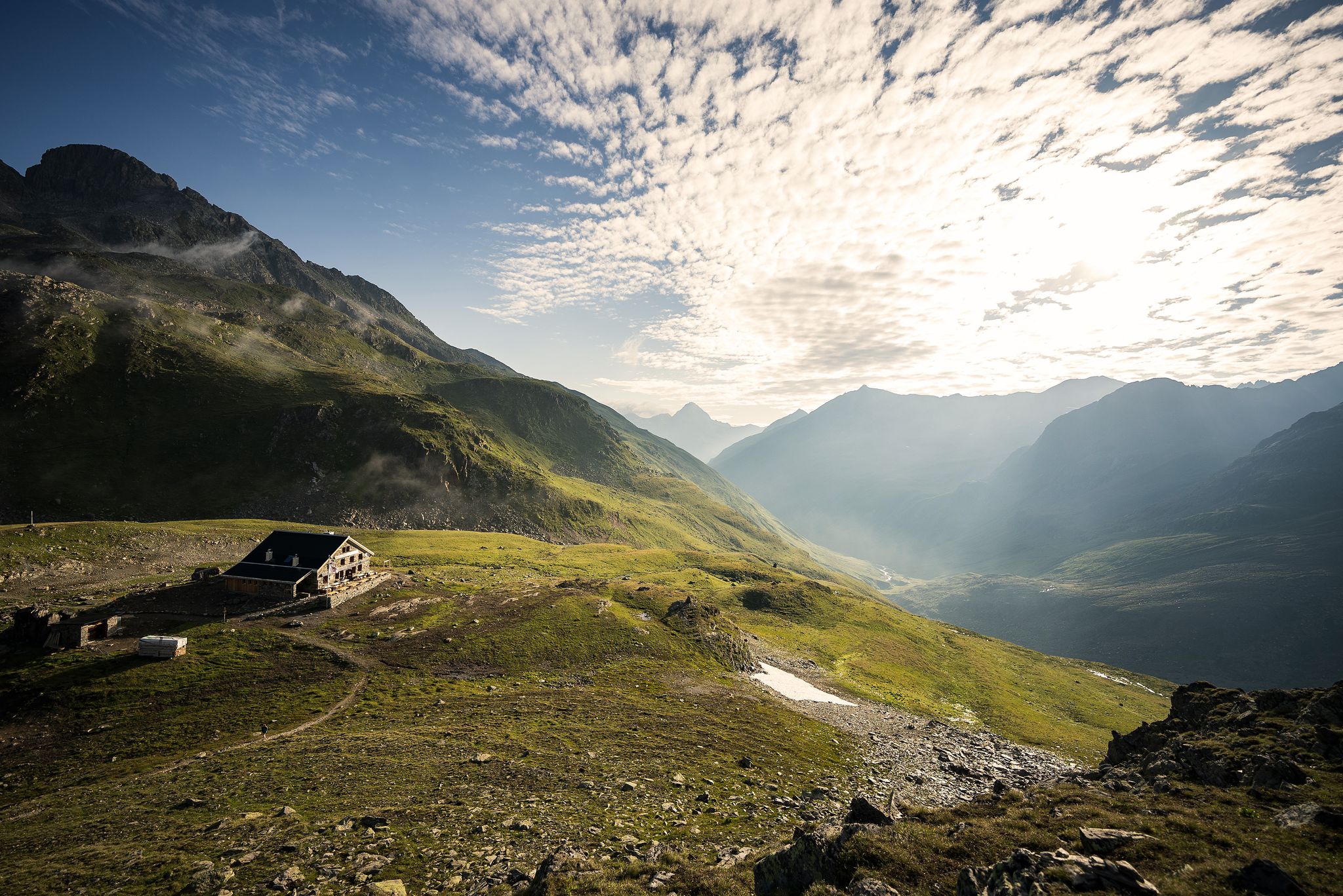
Hüttenzauber und Bergstille – Weitwandern in Graubünden
トランでのハイキング
トランのロードバイクルート
トランのMTBトレイル

トランでののグラベルライド
トランでのの他の冒険


コミュニティからのヒント

Great view, several benches to sit and enjoy. I would definitely climb through the forest myself instead of taking the gondola – it's so much more beautiful up there...and the path through the forest is really beautiful.
1
0

While previously you could only get to the Gemsfairenstock by touching the glacier, it is now possible without it. There is a slightly exposed section on the ascent, but it is secured with chains.
0
0

Bergschrund late summer: there is a fixed rope that you can also use to secure, like in a via ferrata
0
1

Good for taking off with a paraglider. Great view of the Tödi!
0
0

Went yesterday over the short glacier section on the Clariden, hardly any crevasses and a trail clearly visible. Depending on the condition, you should recognize the dangers yourself, so you can't say in general that it has become "much more dangerous". I was able to cross the glacier "without any problems" even without a rope team.
4
2

Exposed area well secured with chain
1
0

A very beautiful peak, easily accessible from the Klassenpass. However, it should be approached with increasing caution, as the glacier and the Iswändli have become much more dangerous due to melting.
1
2

Fisetenpass 2023 m The Fisetenpass is a mountain pass in the municipality of Spiringen (Urnerboden exclave) in the canton of Uri. Its pass is at an altitude of 2036 meters above sea level between the Gemsfairenstock (2971m) in the southwest and the Fisetengrat or the Chamerstock (2123m) in the east. The easiest way to reach the pass is to take the mountain cable car from Urnerboden to the Fisetengrat mountain station and from there in a few minutes to the top of the pass. You hike over the pass from the Urnerboden to the Fiseten area and on to the Claridenhütte and Tierfehd. The specified hiking time from the Fisetenpass to the Claridenhütte is 2h40min, down to Linthal 4h55min and also down the valley to the Urnerboden 3h10min. In a four-hour mountain hike from the top of the pass you can also reach the Klausen Pass (Clariden high-altitude trail). Text / source: Fuorcla.ch https://fuorcla.ch/fisetenpass/
14
0

komootモバイルアプリでインスピレーションを得よう


さらに探索
これらのガイドでさらに素晴らしい頂上を見てみましょうトランでの:
