ラングレ-シュル-ランスの天然記念物・トップ5
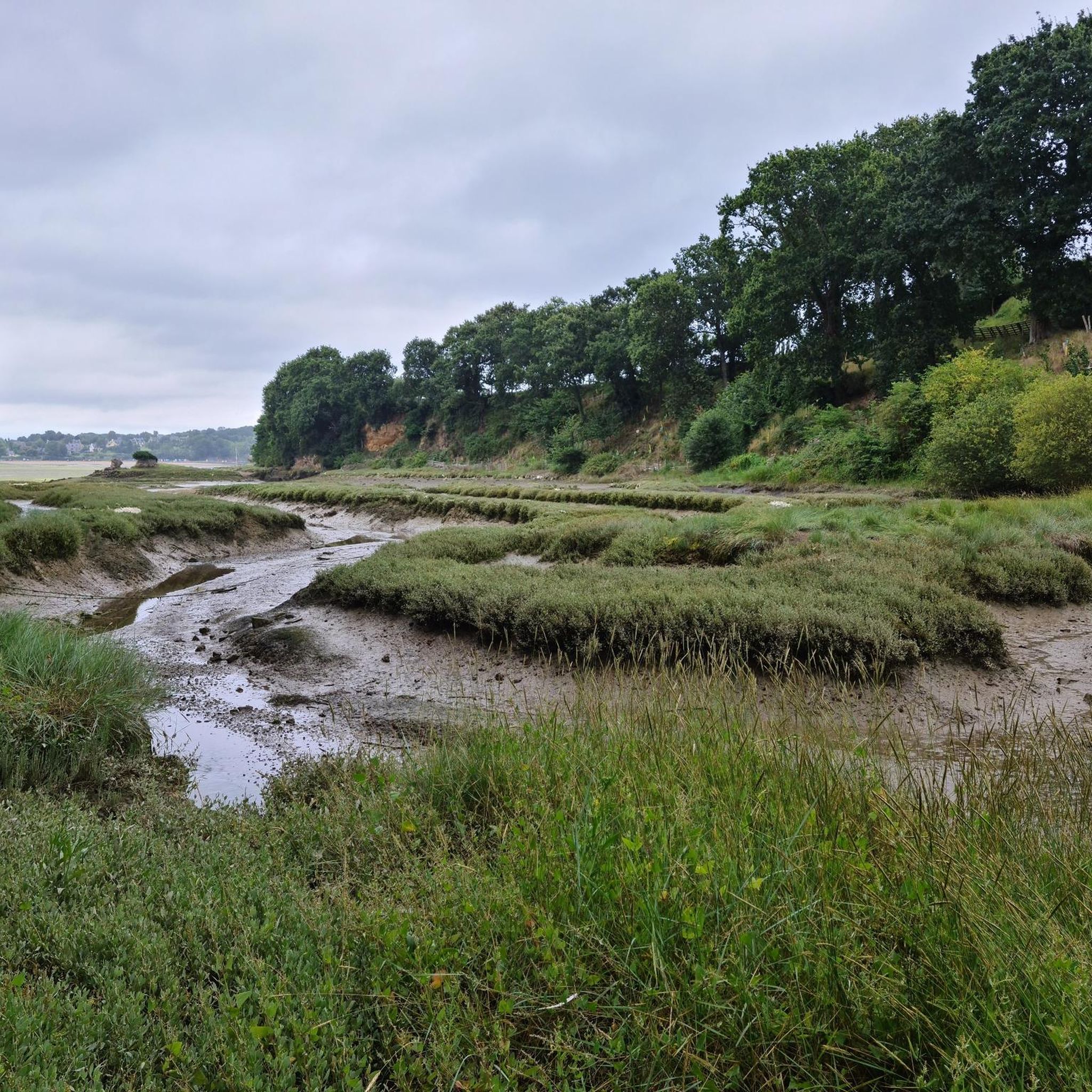
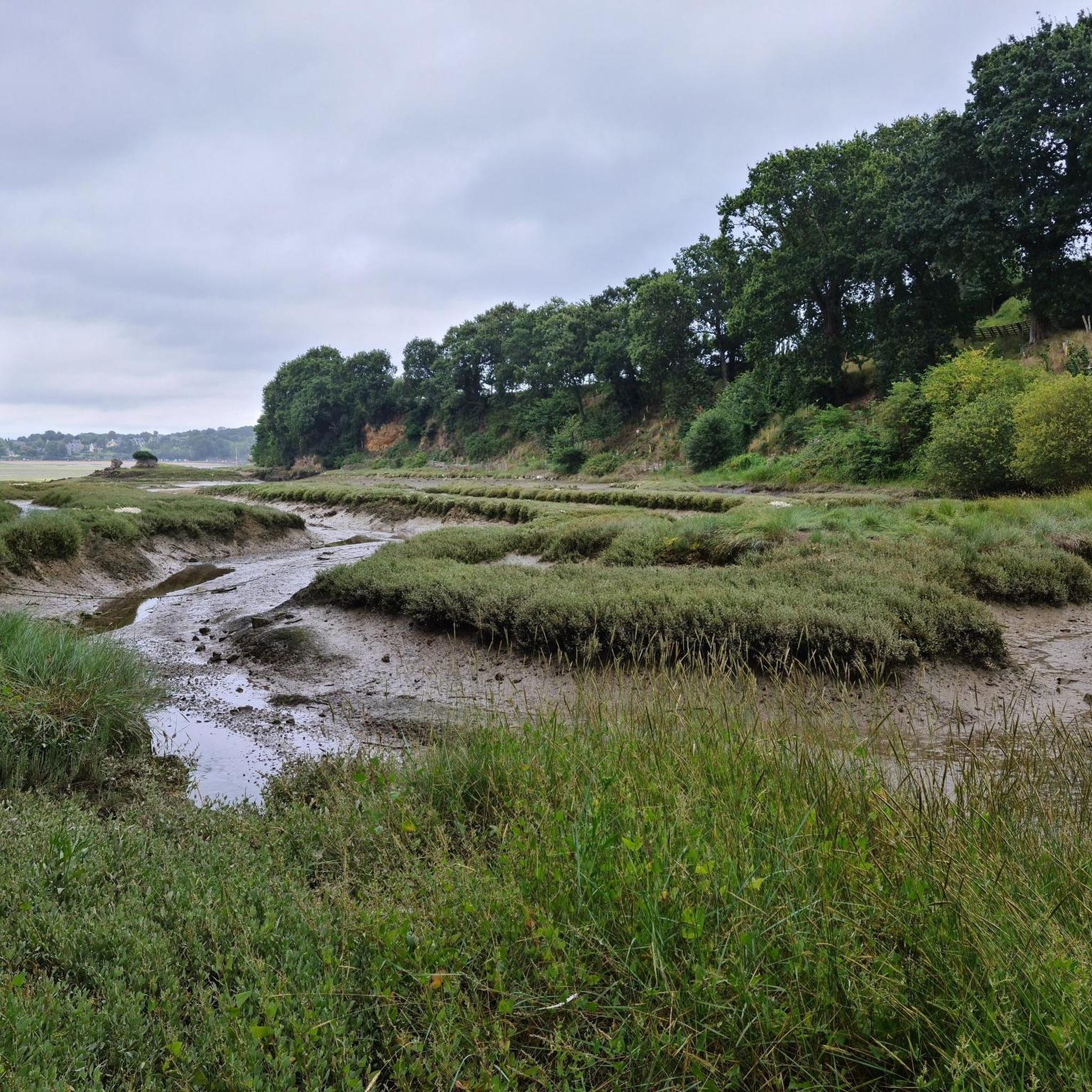
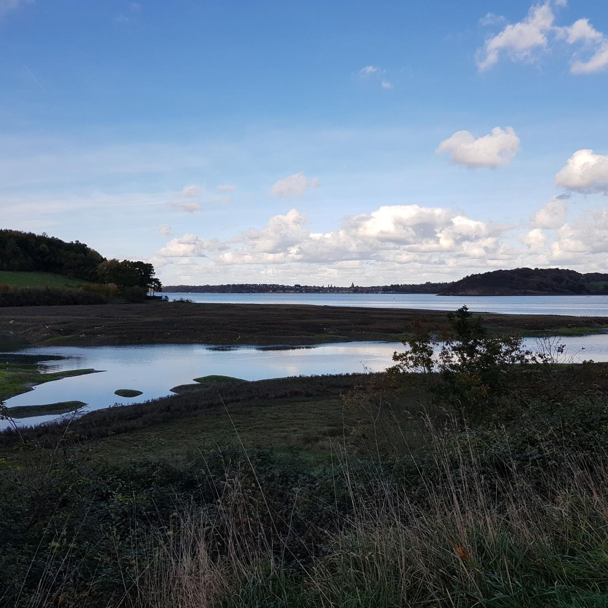
Langrolay-Sur-Ranceの周辺の自然記念物は、ランス川河口の多様な景観によって定義されています。この地域は、ランス川の潮の性質によって形成された海岸沿いの小道、小さな谷、田園地帯を特徴としています。この地域は、雲母片岩を含む地質学的形成で知られており、探検のための多様な地形を提供しています。これらの場所は、アウトドアアクティビティや地元の野生生物の観察の機会を提供します。
Langrolay-Sur-Rance周辺の最高の自然記念物
- 最も人気のある自然記念物はパルク・ド・ラ・ブリアンテで、サン・セルヴァン、トゥール・ソリドール、ディナール、ランス川河口の景色を望む森です。この27ヘクタールの公園では、トレイルランニングや散歩を楽しむことができます。
- もう一つの必見スポットはポワント・デュ・ニック自然保護区で、保護された自然保護区を持つ自然記念物です。聖なる十字架と小さなビーチの入り江があります。
- 訪問者はラ・ポワント・デュ・プイも気に入っています。ここは、大西洋とギザギザの崖の並外れたパノラマを提供する展望ポイントです。この自然のままの保存された場所は、短いハイキングの後にアクセスできます。
- Langrolay-Sur-Ranceは、その展望ポイント、森、自然保護区で知られています。この地域には、海岸地域や地質学的サイトを含む、さまざまな自然記念物があり、それらを見て探索することができます。
- Langrolay-Sur-Rance周辺の自然記念物は、komootコミュニティによって高く評価されており、40以上の「いいね!」と50以上の写真が共有されています。
最終更新日: 10月 20, 2026
Parc de la Briantais
ハイライト • 森
翻訳者 Google •
役立つ情報 は

ラ・ポワント・デュ・ピュイ
ハイライト • 展望台
翻訳者 Google •
役立つ情報 は

今すぐサインアップして、こんな場所を発見しよう
最高のシングルトラック、ピーク、その他のエキサイティングなアウトドアスポットのおすすめを受け取ろう。
ニック岬自然エリア
ハイライト • 自然記念物
役立つ情報 は

無料アカウントで今日から始めよう
次の冒険が待っています。

コミュニティからのヒント

Pointe du Puits, located on the coast of the Crozon peninsula in Brittany, offers an exceptional panorama of the Atlantic Ocean and the jagged cliffs. Accessible after a short hike, this wild and preserved site is perfect for lovers of nature and wide open spaces. The view extends over the turquoise waters and the secret coves below, offering a breathtaking spectacle, particularly at sunset. The coastal paths invite you to explore, between heather-covered moors and maritime scents.
1
3

For nearly a century, La Briantais was owned by the La Chambre family. The last member, Guy La Chambre, mayor of St-Malo from 1947 to 1965, played a leading role in the construction of the city. The 27 ha large area is beautifully situated west of St-Servan. In the castle (1850), built in place of a 17th-century country house, different positions take place. Even more fascinating is the beautiful, wide park, which offers beautiful views of St-Servan and the Tour Solidor, Dinard and the valley of the Rance.
7
1

Lovely walk overlooking the Rance estuary. The castle is currently being restored. Great for trail running and great for safe walks with children. Play area. Straw huts on sunny days.
1
0

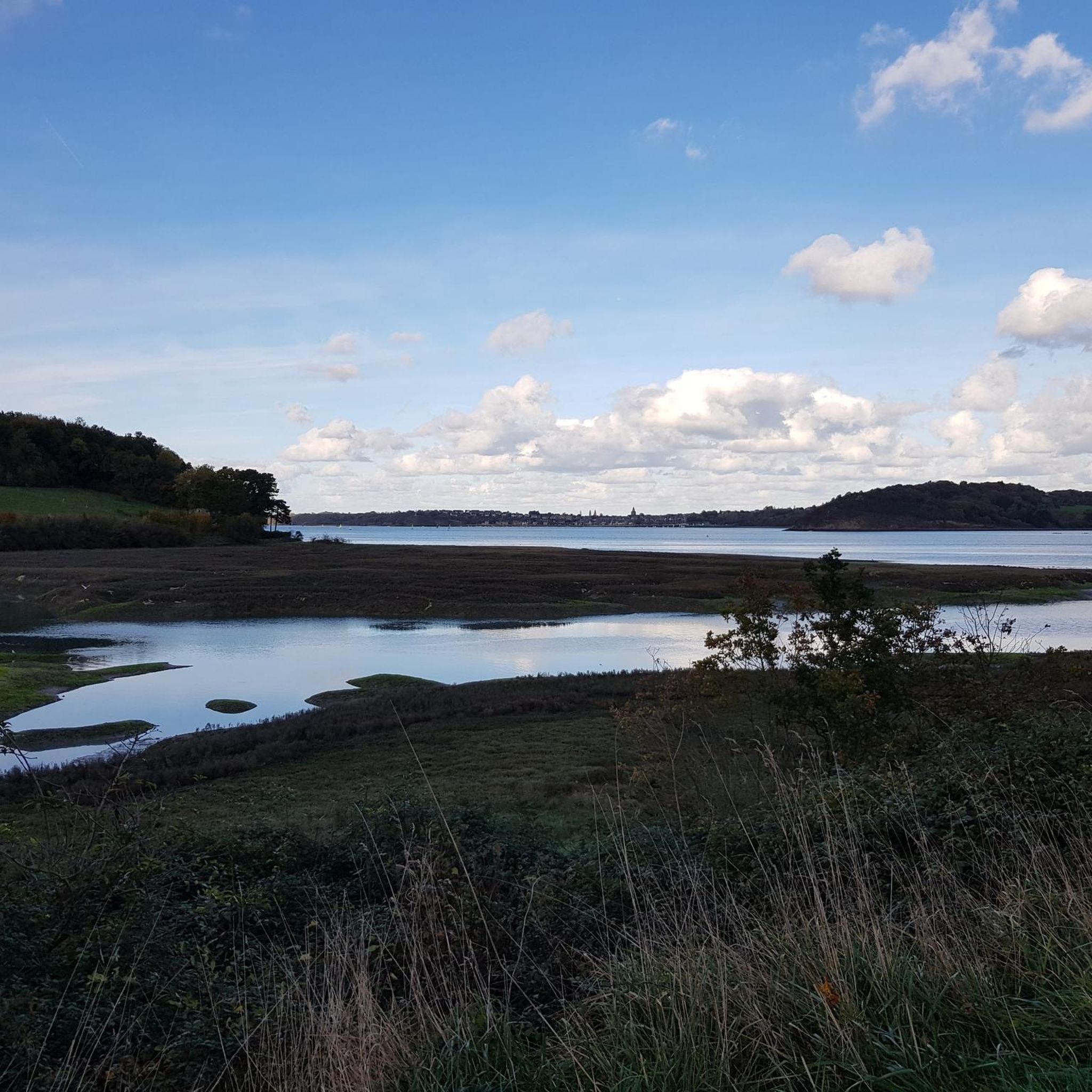
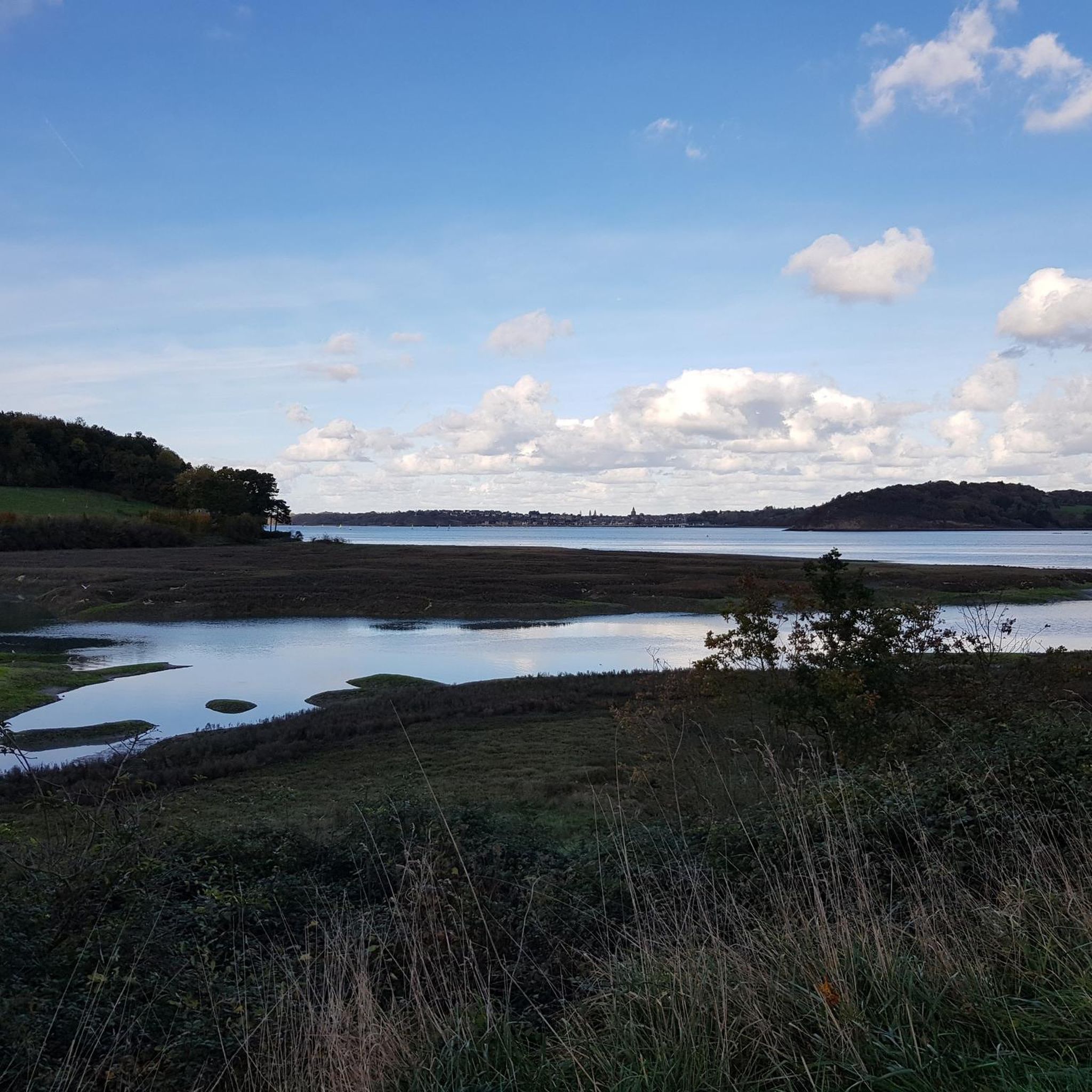
A sacred cross marks the southern access to the protected nature area leading north to the small cape. There's also a nice small beach cove to the east.
4
1

The 27-acre park, south of Saint-Servan, high above the Rance, offers breathtaking views of Tour Solidor, Dinard, La Richardais and the Rance estuary. A place of relaxation in the landscaped garden.
2
0
ラングレ-シュル-ランスでのの人気観光スポット

komootモバイルアプリでインスピレーションを得よう


さらに探索
これらのガイドで、最高の洞窟を探す範囲を広げましょうラングレ-シュル-ランスでの:
