サンポーンの天然記念物・トップ4
サンポーンが誇る美しい風景を見てみたいなら、サンポーンの素晴らしい天然記念物・トップ4
に行ってみましょう。あなたにぴったりの場所が見つかるよう、素晴らしい天然記念物を探索するために必要なすべての情報を集めました。次のアウトドアの冒険に出かける計画の参考にしましょう。
最終更新日: 8月 27, 2026
パルクール・デ・フェ
ハイライト (セグメント) • トレイル
翻訳者 Google •
役立つ情報 は

テット・ド・ラ・セストリエール
ハイライト • 山頂
翻訳者 Google •
役立つ情報 は

今すぐサインアップして、こんな場所を発見しよう
最高のシングルトラック、ピーク、その他のエキサイティングなアウトドアスポットのおすすめを受け取ろう。
無料新規登録
エルサレムの泉
ハイライト • 滝
翻訳者 Google •
役立つ情報 は

シャポー・ド・ジャンダルム
ハイライト • 山頂
翻訳者 Google •
役立つ情報 は

グランド・セオラン
ハイライト • 山頂
翻訳者 Google •
役立つ情報 は

無料アカウントで今日から始めよう
次の冒険が待っています。
ログインまたは登録



コミュニティからのヒント


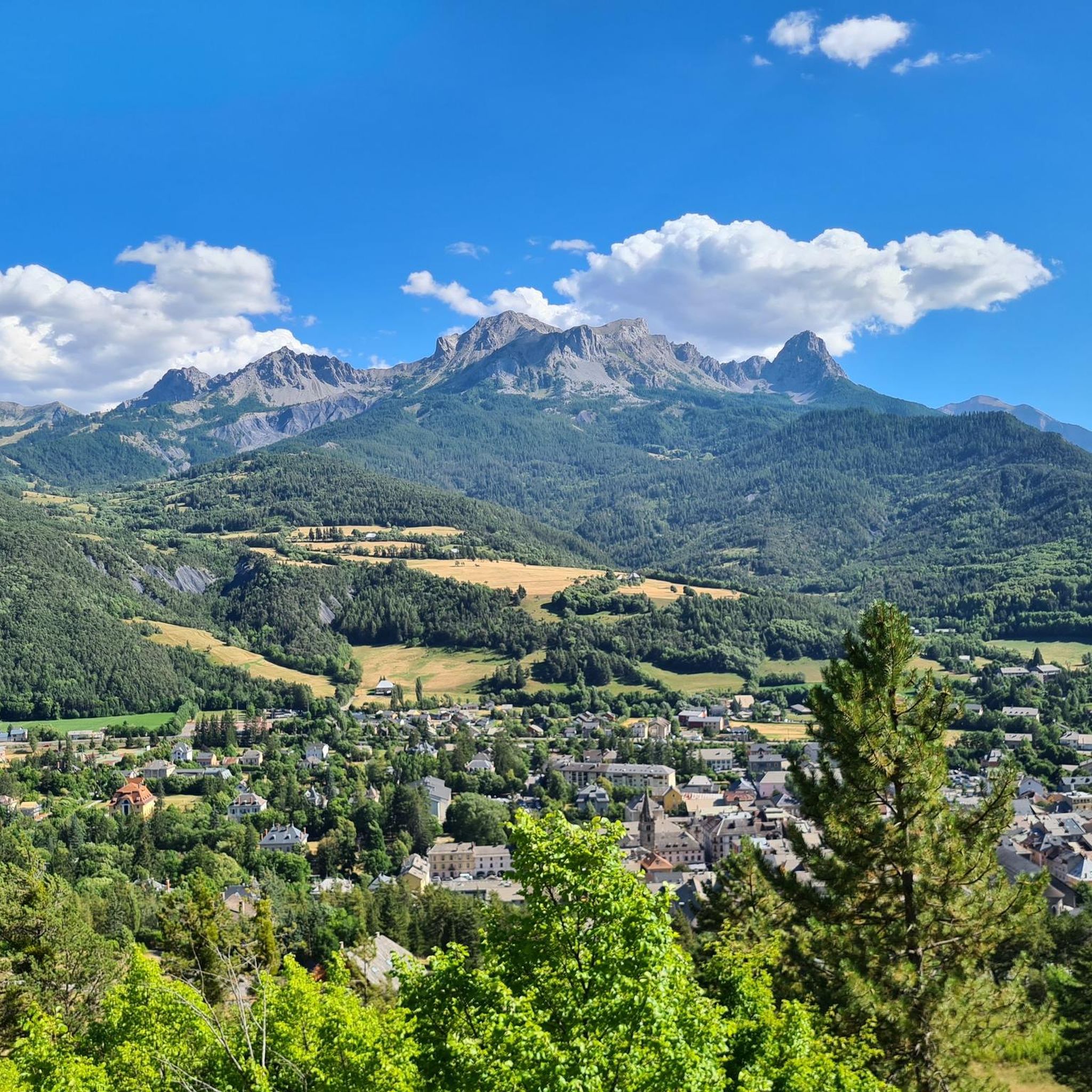
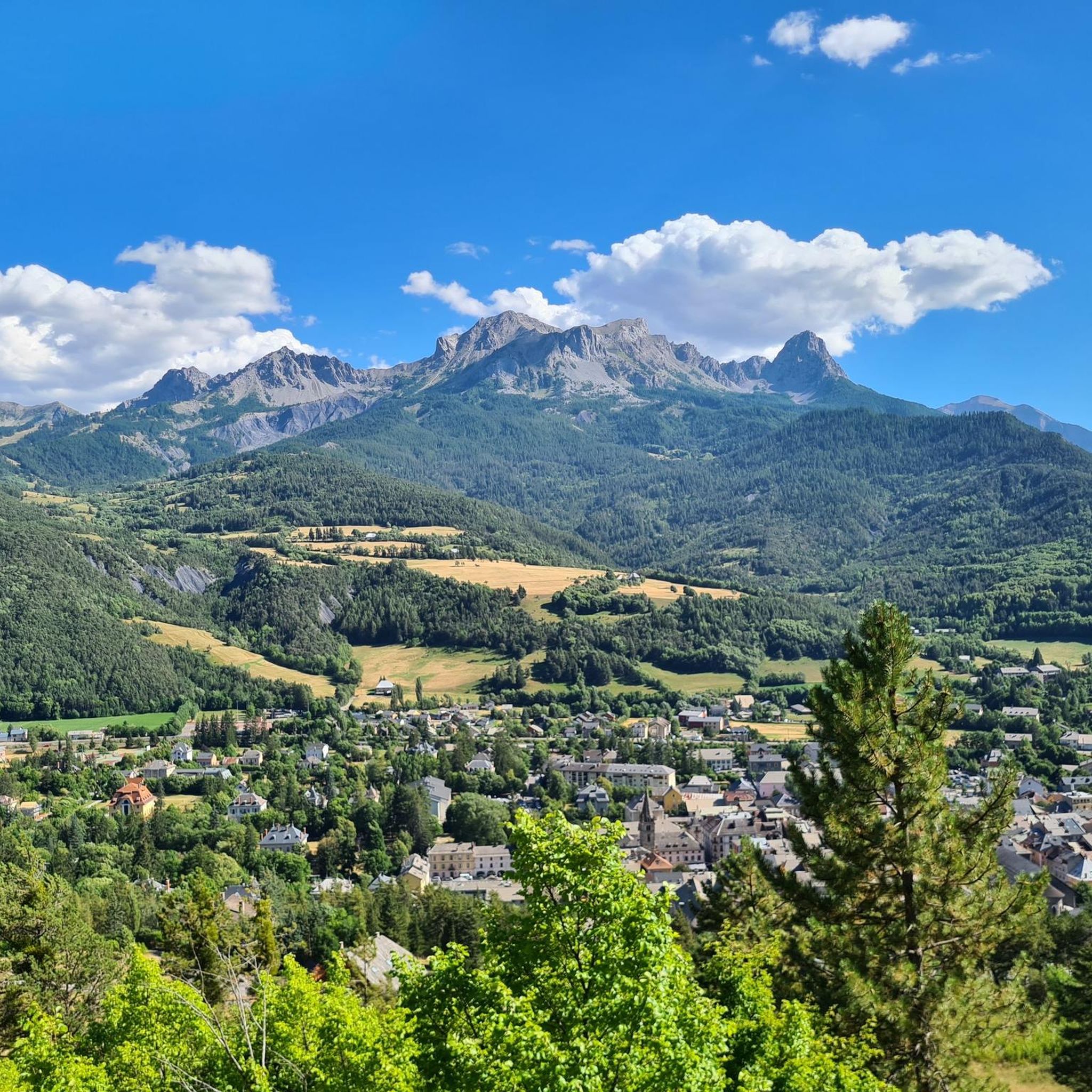
Culminating at 2909m, the summit of the Grande Séolane offers a 360° view of the surrounding mountains and massifs (Tête de l’Estrop, Écrins, Mercantour and even Mont Blanc). The ascent can be done from the South, thanks to the beautiful chimney of Lou Chiminet which does not pose a problem for experienced hikers, at least on the way up, or by the “Normal Route”, to the East, passing through the Col des Thuiles, which is very easy and very well indicated. I personally recommend the ascent by Lou Chiminet and the descent by the “Normal Route” to easily complete the loop. However, be careful of the snowfields that can remain in the corridor at the beginning of the season…
4
0

The Parcours des Fées no longer exists, due to lack of funding from cultural institutions, weariness of volunteers, poor reception from local authorities...
1
0

The water really seems to be squeezed out of the mountain.
3
0

The Parcours des Fées is a contemporary and poetic artistic trail along the Razis waterfall. Since 2010, it has invited visitors to take a different look at a familiar landscape, mixing art and wild nature. A unique experience where we discover 40 unusual works in harmony with the Crévolin setting.
1
0

Located at 2575 meters, Tête de la Sestrière offers a beautiful panorama of the valleys below and the mountains that surround it. A magnificent hike from Laverq!
1
0
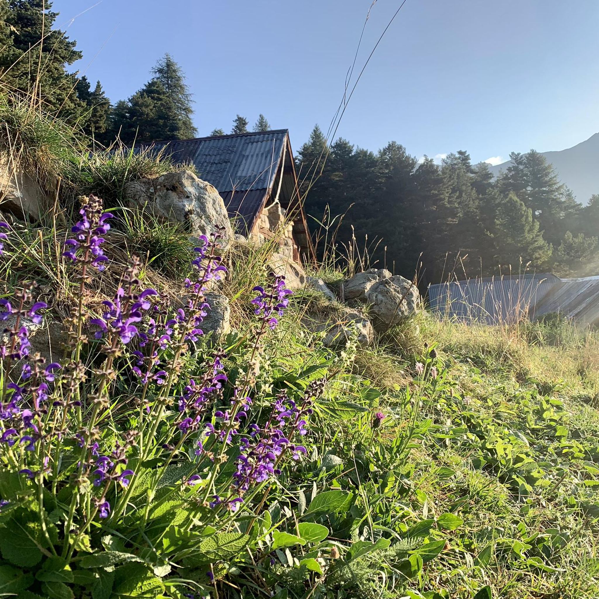
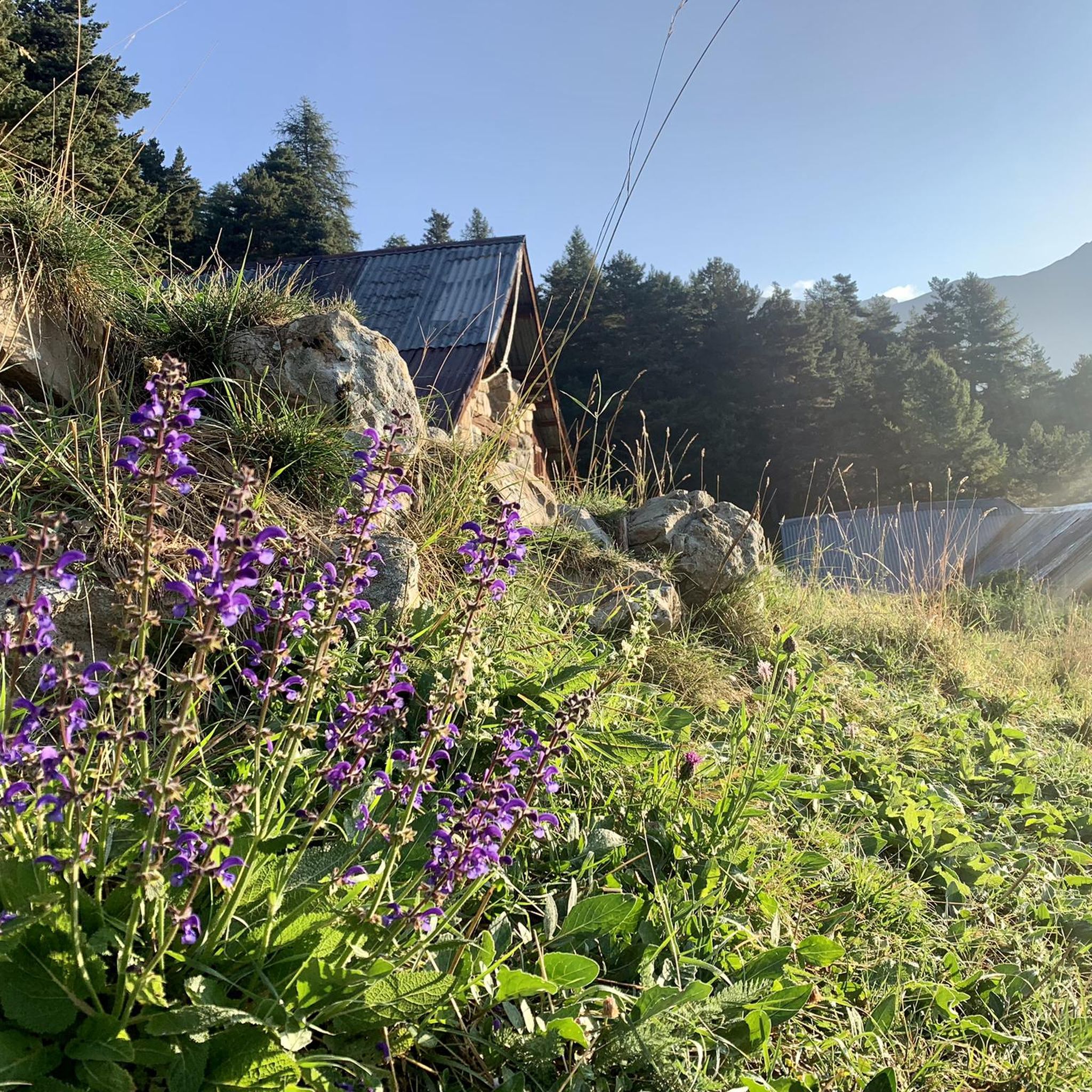
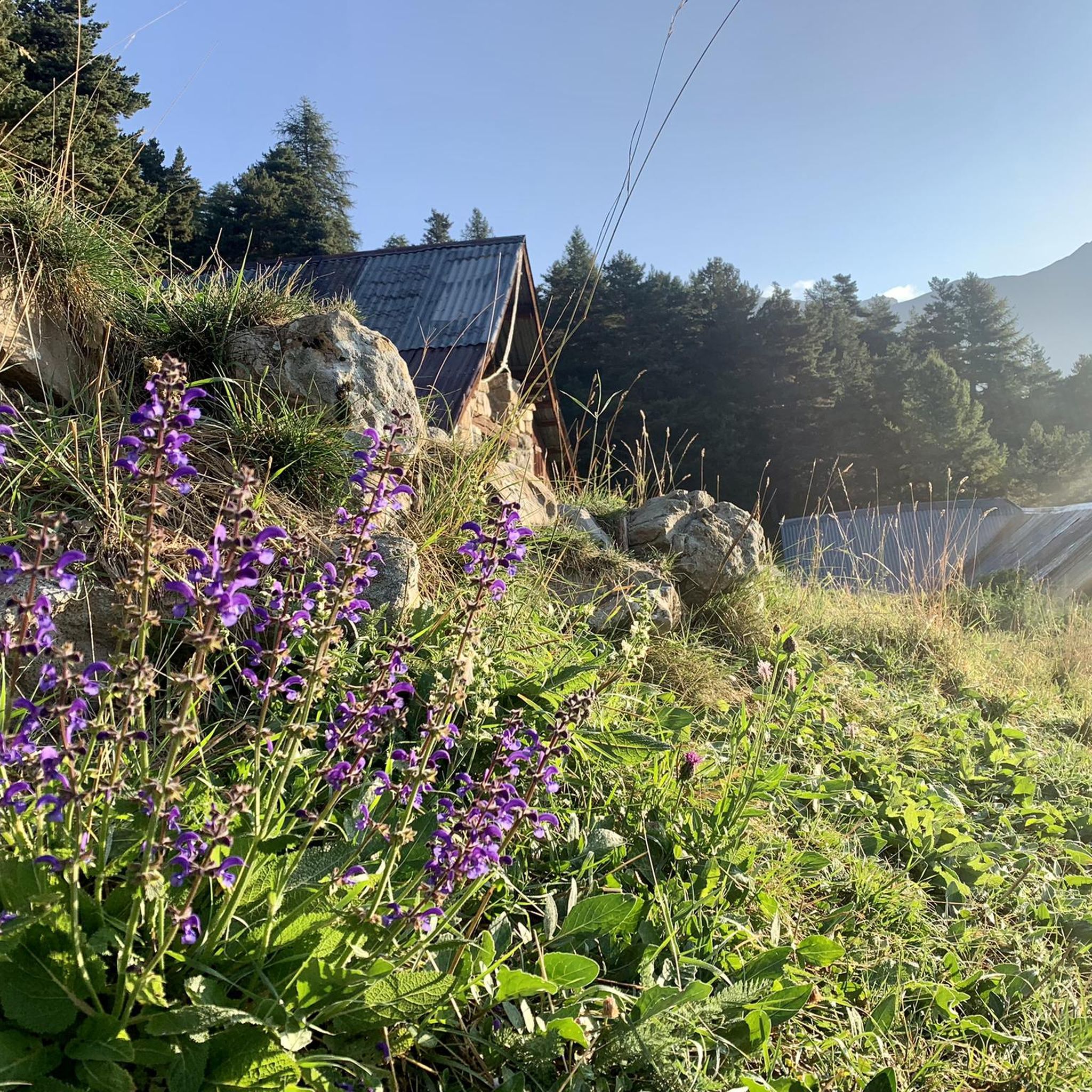
Accessible by a beautiful forest track, the springs come out between two limestone layers. Nice discovery!
3
0

At an altitude of 2,575 meters, the Tête de la Sestrière offers a superb 360-degree panorama of the Laverq valley, the Agneliers valley and the summits of Petite Séolane and Grande Séolane, Tête de l'Estrop and the Three Bishoprics.
2
0
サンポーンでのの人気観光スポット

komootモバイルアプリでインスピレーションを得よう


さらに探索
これらのガイドで、最高の洞窟を探す範囲を広げましょうサンポーンでの:
