レ・アリエスの天然記念物・トップ8
レ・アリエスが誇る美しい風景を見てみたいなら、レ・アリエスの素晴らしい天然記念物・トップ8
に行ってみましょう。あなたにぴったりの場所が見つかるよう、素晴らしい天然記念物を探索するために必要なすべての情報を集めました。次のアウトドアの冒険に出かける計画の参考にしましょう。
最終更新日: 10月 20, 2026
グラシエール・ド・モンレジ氷の洞窟
ハイライト • 洞窟
翻訳者 Google •
役立つ情報 は

アレーズのカルスト湧水
ハイライト • 自然記念物
翻訳者 Google •
役立つ情報 は
今すぐサインアップして、こんな場所を発見しよう
最高のシングルトラック、ピーク、その他のエキサイティングなアウトドアスポットのおすすめを受け取ろう。
モン・シャトルー
ハイライト • 山頂
翻訳者 Google •
役立つ情報 は

ドゥー・オルロジェ地域自然公園の美しい上流渓谷
ハイライト (セグメント) • 展望台
翻訳者 Google •
役立つ情報 は


無料アカウントで今日から始めよう
次の冒険が待っています。


コミュニティからのヒント

Added to the collection: komoot.com/de-de/collection/3600632/-naturdenkmaeler-besondere-baeume-und-weitere-schaetze-der-natur
0
0

The Areuse karst spring is a natural spring which emerges from limestone rocks and forms the Areuse river. You can start your hike from the village of Noiraigue and go up the river to the source, located at the foot of the Clusette cliffs. Along the way, you will enjoy views of gorges, bridges and waterfalls. The Areuse karst source is a good example of underground water circulation in a karst system.
2
0
If you are looking for a great adventure in the Swiss Jura, why not visit the Glacière de Monlési, the largest natural ice cave in Switzerland? You can access it on foot from the Col des Sagnettes, on the road between Fleurier and La Brévine. The cave is a karst sinkhole that contains three shafts, leading to a large ice-filled room. You can explore the icy wonders of this underground world, like stalagmites and ice stalactites. But be careful, it is very dangerous to go over the ladder or walk on the ice without the proper equipment and guidance. The Glacière de Monlési is a protected nature reserve and a unique geological phenomenon.
3
0

Mont Châteleu is located on a line of Jura ridges facing south-west/north-east. It is located on the watershed line between the Mediterranean Sea and the North Sea. This is the highest point in the sector at 1,300 meters above sea level. On the southern slope of the mountain, a splendid belvedere offers an incomparable view at more than 180° and allows paragliders to take off from this place.
1
1

Just before you start the ascent, you can see an old linden tree overgrown with moss on the left side of the road.
1
0

The Areuse rises directly from the mountain, a very beautiful place.
0
0
Very nice place at the karst source of the Orbe. Easy to relax.
0
0

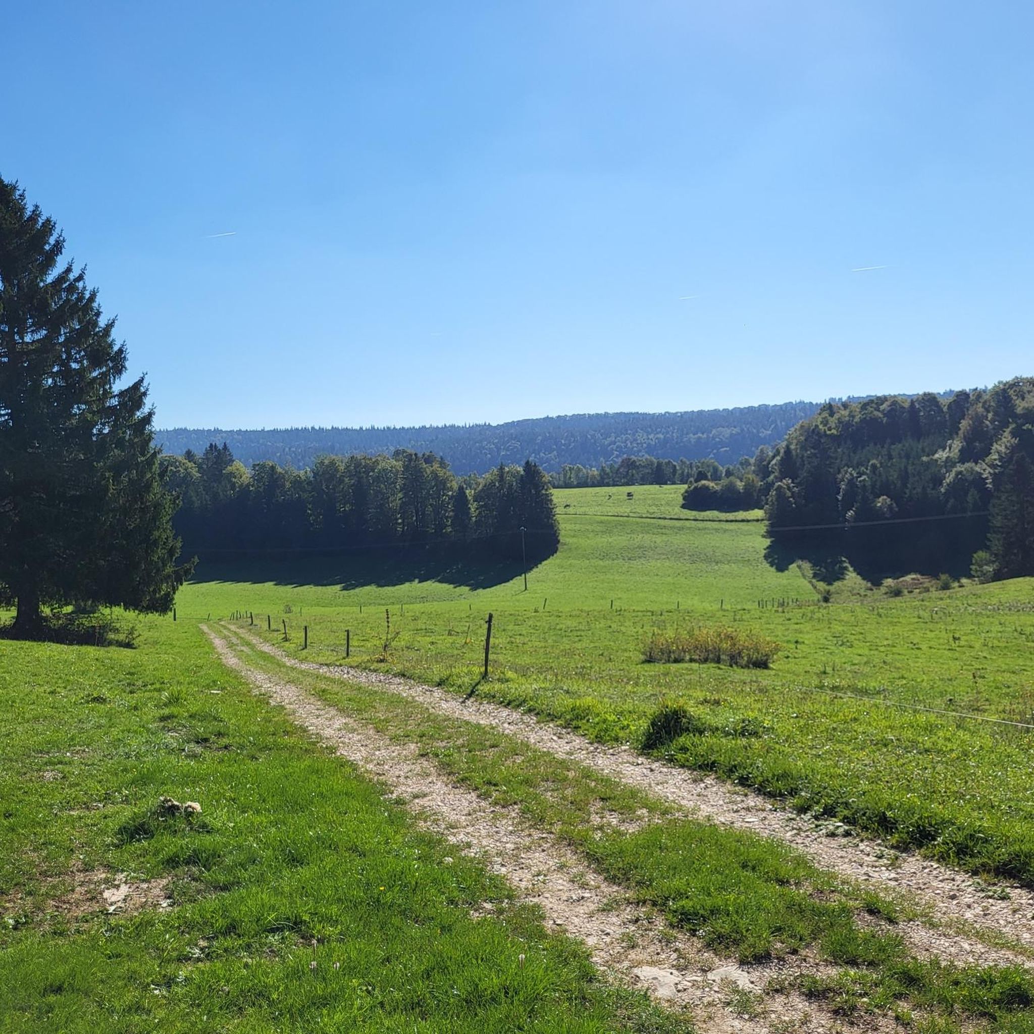
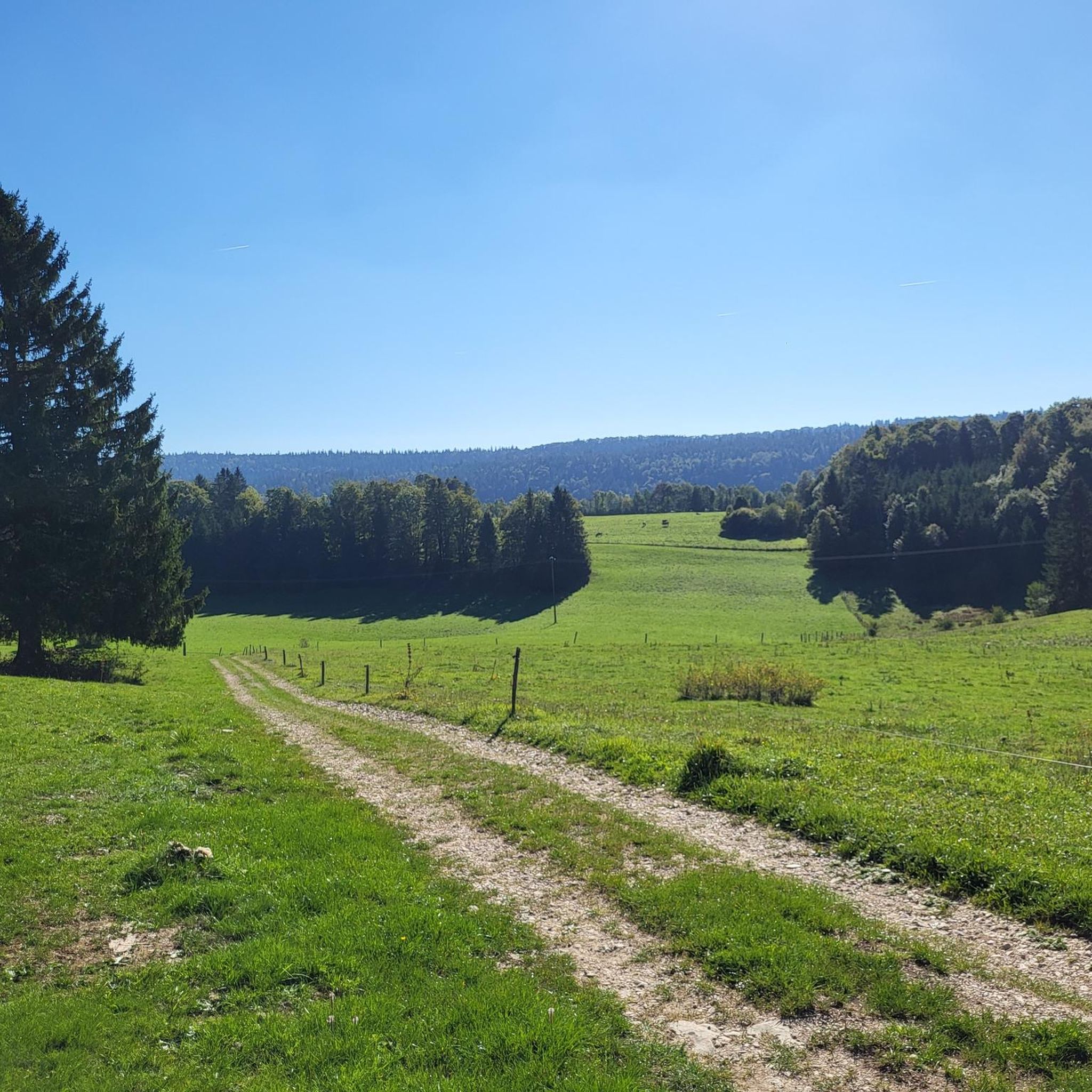
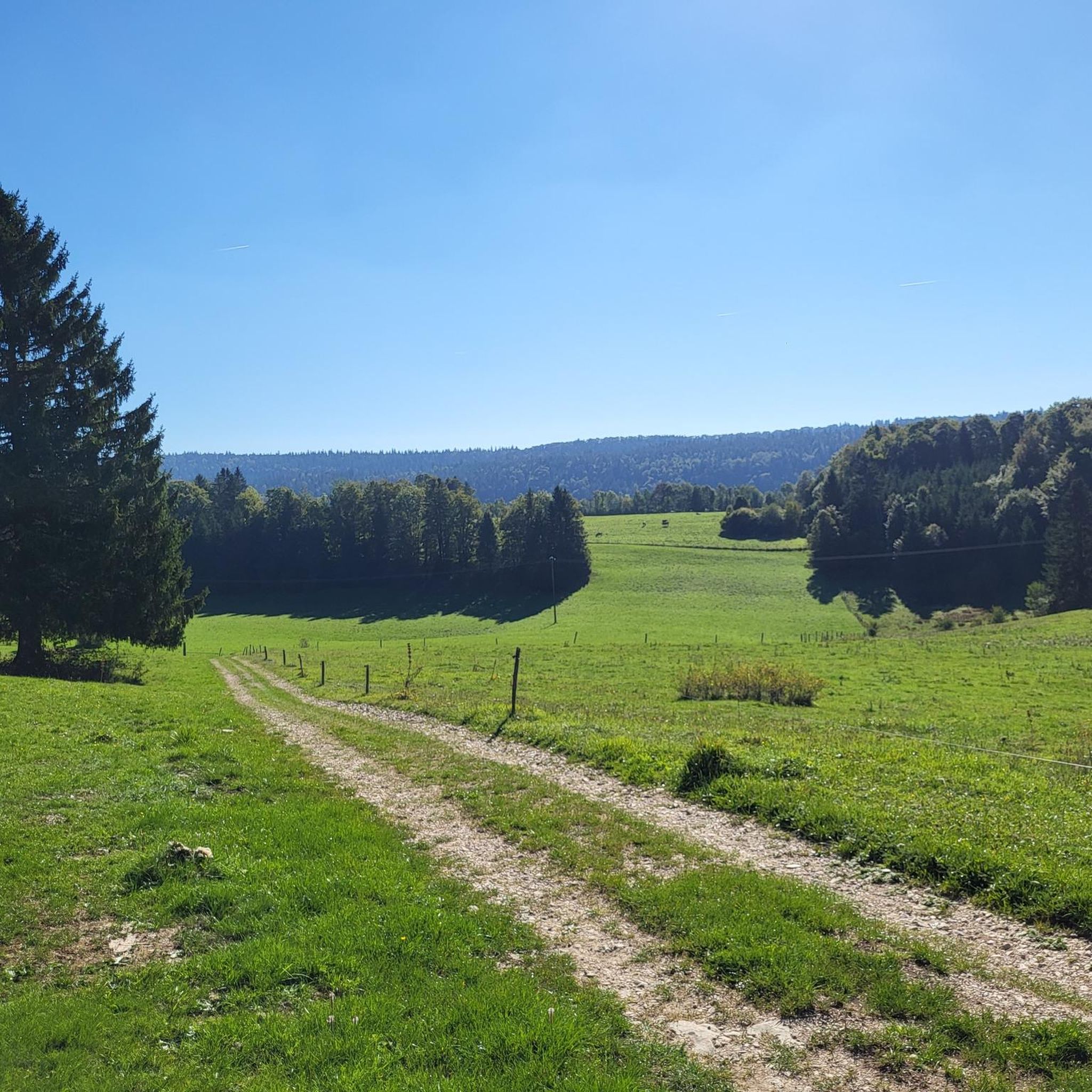
Small nice road D47 through the Jura, great views, quiet landscape. More information: https://de.wikipedia.org/wiki/Les_Gras
0
0

komootモバイルアプリでインスピレーションを得よう


