レチュンス周辺のアトラクション&必見スポット - トップ20
レチュンスには必見のスポットがたくさんあります。ハイキング愛好家やサイクリング愛好家の方は、ぜひレチュンスを探索してこのエリアにある20
の隠れたスポットを訪れてみてください。このエリアの必見スポットを確認し、次の冒険に出かける計画を立てましょう。
最終更新日: 9月 12, 2026
イル・スピール展望台 – ライン渓谷
ハイライト • 展望台
翻訳者 Google •
役立つ情報 は

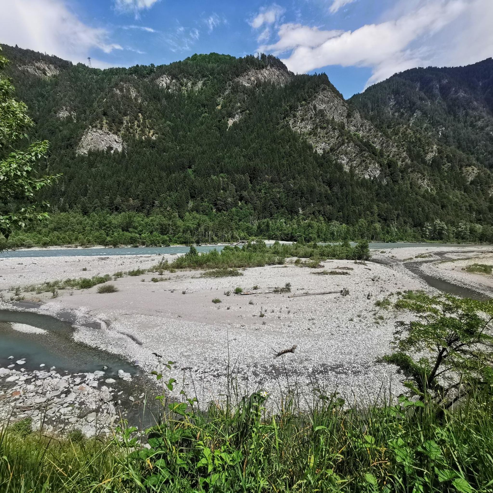
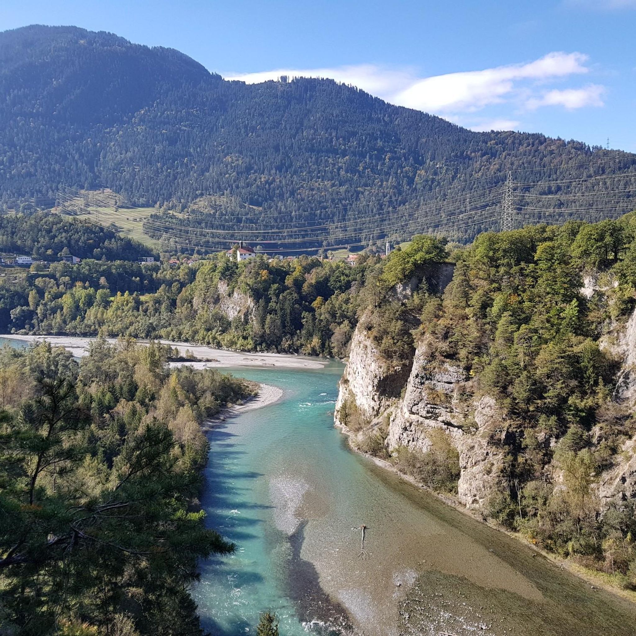
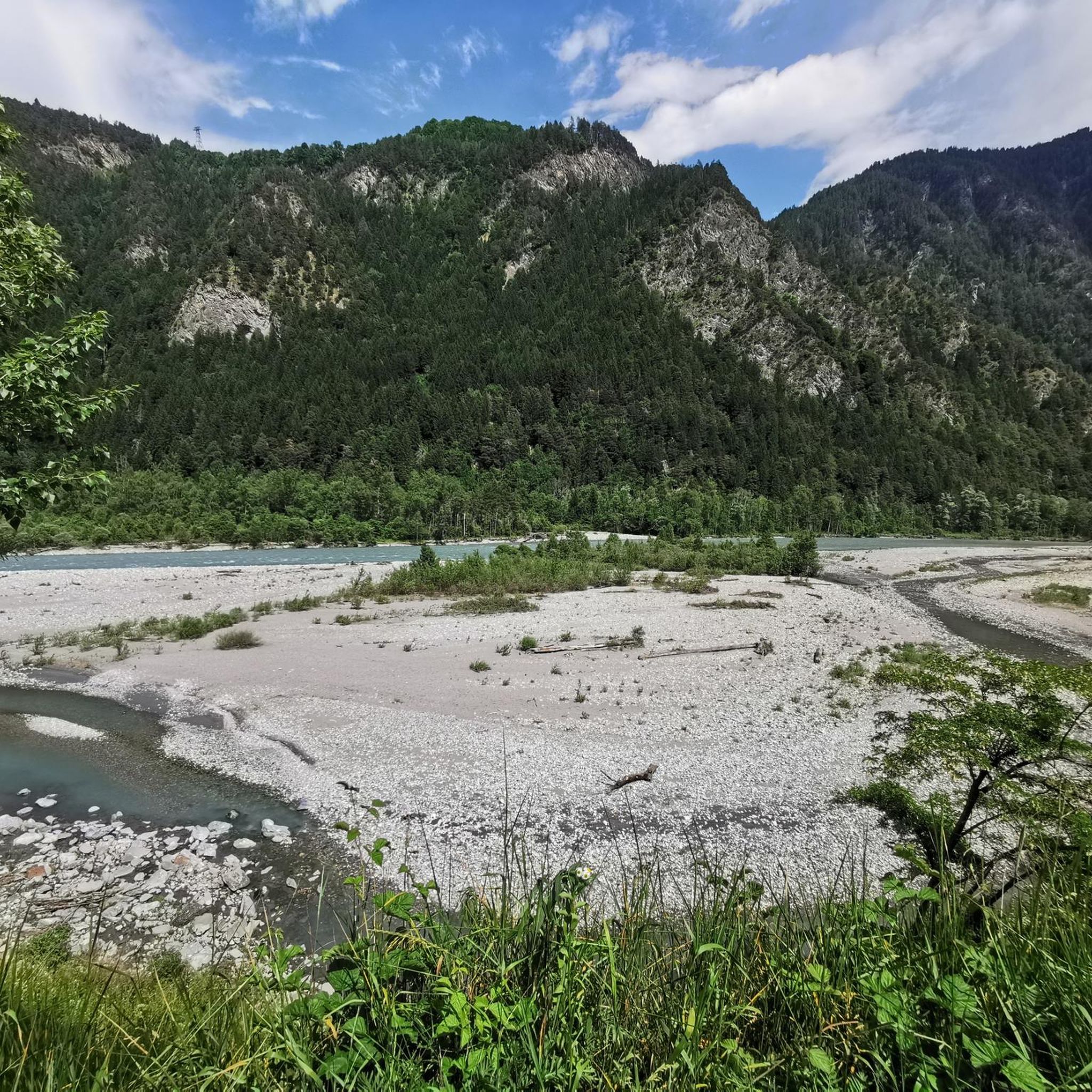
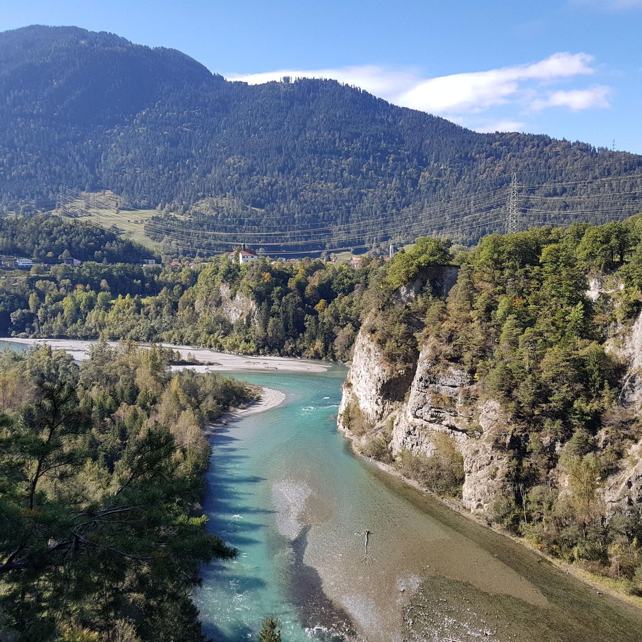
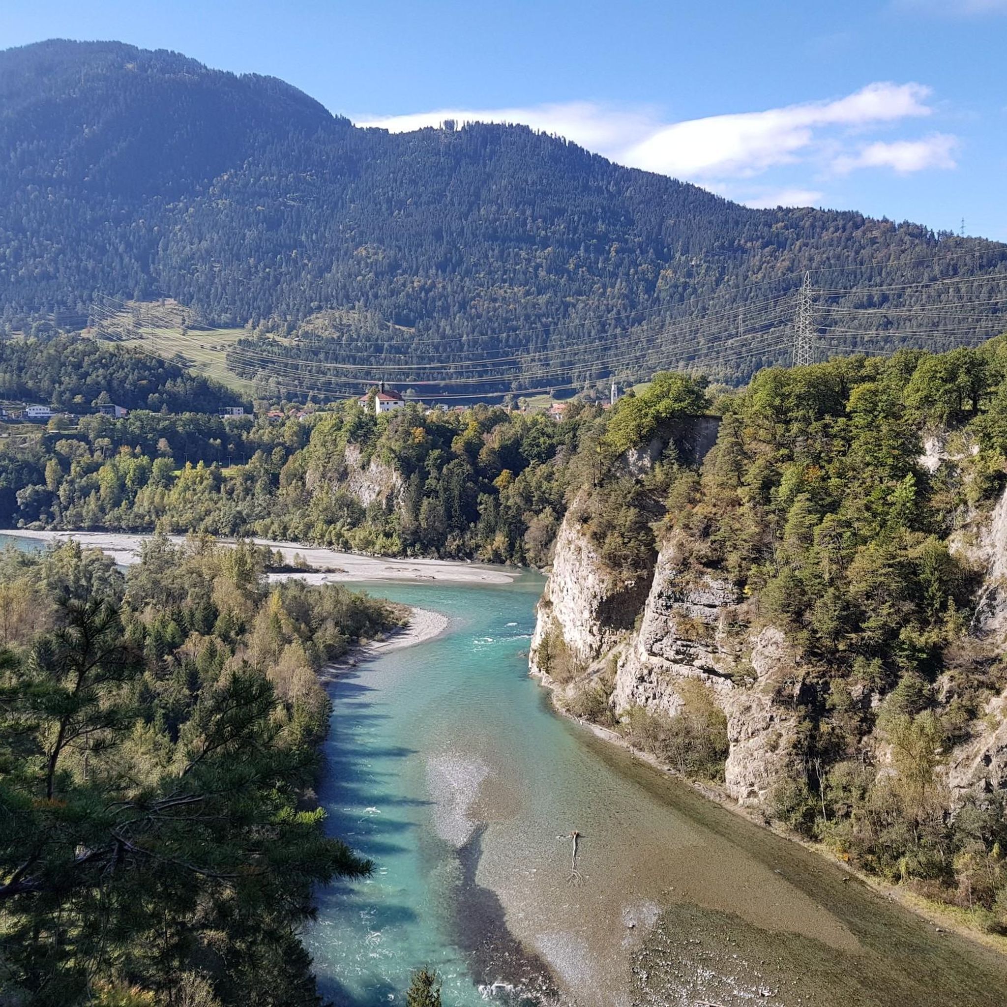
ルイナウルタ(ライン渓谷)の眺め
ハイライト • 展望台
翻訳者 Google •
役立つ情報 は
今すぐサインアップして、こんな場所を発見しよう
最高のシングルトラック、ピーク、その他のエキサイティングなアウトドアスポットのおすすめを受け取ろう。
クレスタ湖
ハイライト • 湖
翻訳者 Google •
役立つ情報 は

ドライビュンデンシュタイン記念碑
ハイライト • 記念碑
翻訳を表示中
役立つ情報 は

カウマ湖
ハイライト • 湖
翻訳者 Google •
役立つ情報 は

無料でサインアップして、さらに多くの観光スポットを発見しましょう レチュンスでの。
すでにアカウントをお持ちですか?
無料アカウントで今日から始めよう
次の冒険が待っています。

コミュニティからのヒント

グラウビュンデンのドライビュンデンシュタインは、クール市の南、標高2,156メートルの地点にあり、標高2,174メートルのフルッガビュエル山の南側に位置しています。両者は高さ15メートルの鞍部と500メートルの距離で隔てられているだけです。この地点は山の頂ではなく、歴史的な場所です。かつての三同盟自由国の唯一の三重国境地点でした。1722年のオリジナル石碑はクール市内のレーティッシュ博物館に展示されています。1915年の代替石碑には、三同盟の3つの紋章が刻まれています。三同盟には、レテュンツの管轄共同体を含むグラーウアー・ブント、オルテンシュタイン城のゴッテスハウス・ブント、クールヴァルデンのツェー เกอร์リヒテン・ブントが含まれていました。
5
0

The platform was designed by the Chur architect Corinna Menn on behalf of the municipality of Flims and inaugurated in September 2006. It consists of a single pillar that is anchored in two places. The pillar, held back by a traction cable, protrudes into the gorge. On the pillar lies the triangular platform made of larch wood, which gives the structure the shape of a swift. (Source: https://de.wikipedia.org/wiki/Il_spir)
6
0

Mountain hike from Brambrüesch to Dreibündenstein and on to Feldis
1
0

A dream of a view of the Rhine Gorge and little visited.
7
0

Lake Cauma, the Pearl of Flims Called "Lag la Cauma" in Romansh, which means "Lake of Midday Rest," Lake Cauma is the pearl of Flims. Origin This mountain lake was formed as a result of the largest landslide in the Alps, which occurred almost 10,000 years ago. The formation of the lakes is attributed to prehistoric landslides. The water seeped through the porous rockslide masses. However, it can also dissolve the limestone with the help of its carbonic acid. Over time, it created an underground passage. A deeper, impermeable clay layer ensures that the water does not completely seep into the ground. Text / Source: Flims Laax Falera https://www.caumasee.ch/geschichte/
12
1
“Il Spir” viewing platform From the Il Spir viewing platform, you can marvel at the impressive Rhine Gorge / Ruinaulta!
9
1
Ruinaulta Rhine Gorge The Ruinaulta or Rhine Gorge is a gorge up to 400 meters deep and around 13 kilometers long in the Vorderrhein between Ilanz and the mouth of the Hinterrhein near Reichenau in the canton of Graubünden in Switzerland. The Romansh name 'Ruinaulta' is composed of the two words Ruina (scree slope, quarry) and aulta (high). The Ruinaulta was created after the Flims landslide almost 10,000 years ago. At that time, over 10 billion cubic meters of rock broke off between the Flimserstein and the Piz Grisch and buried the Vorderrheintal between today's villages of Castrisch and Reichenau under a mass of rubble several hundred meters thick. Since the Vorderrhein could no longer drain, a lake was dammed over a length of around 25 km. Over time, the river cut deep into the landslide masses and the resulting lake was able to drain completely. What remained was the Ruinaulta with its steep limestone rubble cliffs in impressive erosion formations. Text/Source: Wikipedia https://de.wikipedia.org/wiki/Ruinaulta
10
1
Dreibündenstein - a piece of history The Dreibündenstein is a monument to the former border point of the Free State of the Three Leagues. Until 1798, the borders of the "Gotteshausbund", "Grauer Bund" and "Zehngerichtebund" leagues met at this point. Each side of the stone bears a coat of arms of these three Rhaetian leagues. At the same time, the Dreibündenstein commemorates the freedom fighters of Graubünden. Text / Source: EHL Group, Route de Cojonnex 18, 1000 Lausanne 25 https://hospitalityinsights.ehl.edu/de/graubuenden-entdecken-dreibuendenstein#:~:text=The%20Dreib%C3%BCndenstein%20is%20a%20monument%20for%C3%BCr%20the%20former,stone%20stone%20bears%20a%20coat%20of%20these%20three%20Roman%20federations.
11
1

komootモバイルアプリでインスピレーションを得よう


さらに探索
まだ探しているハイライトが見つかりませんか?他の地域のトップアトラクションのガイドを見てみましょう:
