ランチュ/レンツ周辺のアトラクション&必見スポット - トップ20
ランチュ/レンツには必見のスポットがたくさんあります。ハイキング愛好家やサイクリング愛好家の方は、ぜひランチュ/レンツを探索してこのエリアにある20
の隠れたスポットを訪れてみてください。このエリアの必見スポットを確認し、次の冒険に出かける計画を立てましょう。
最終更新日: 9月 12, 2026
ヴィアマラ峡谷
ハイライト • 峡谷
翻訳者 Google •
役立つ情報 は

パルパナー・ロートホルン山頂
ハイライト • 山頂
翻訳者 Google •
役立つ情報 は

今すぐサインアップして、こんな場所を発見しよう
最高のシングルトラック、ピーク、その他のエキサイティングなアウトドアスポットのおすすめを受け取ろう。
ドライビュンデンシュタイン記念碑
ハイライト • 記念碑
翻訳を表示中
役立つ情報 は

ヴァイスホルン山頂(2,653m)
ハイライト • 山頂
翻訳者 Google •
役立つ情報 は
トラヴェルジナーステーク吊り橋
ハイライト • 橋
翻訳者 Google •
役立つ情報 は
無料でサインアップして、さらに多くの観光スポットを発見しましょう ランチュ/レンツでの。
すでにアカウントをお持ちですか?
無料アカウントで今日から始めよう
次の冒険が待っています。
ランチュ/レンツ周辺で人気
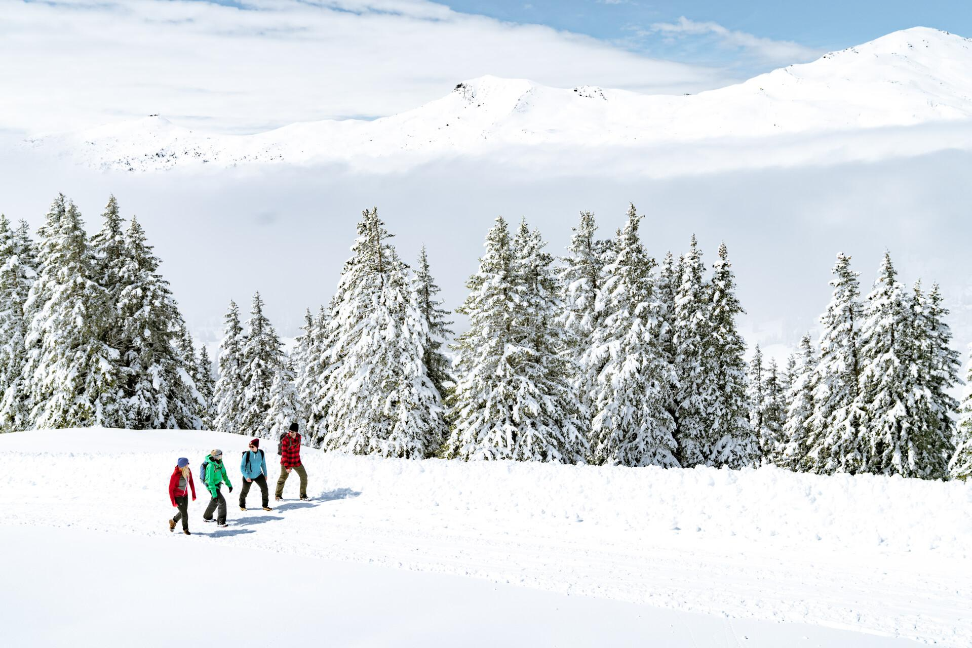
Immerse yourself in Lenzerheide's winter wonderland
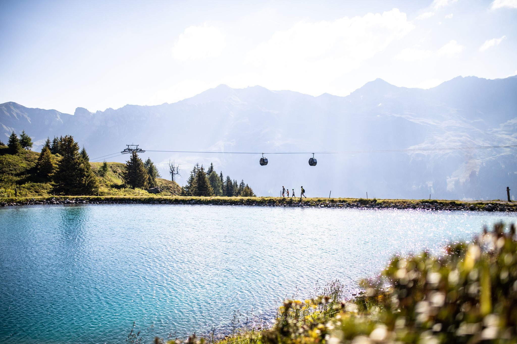
From the peaks to the cool waters – Coolcation Lenzerheide
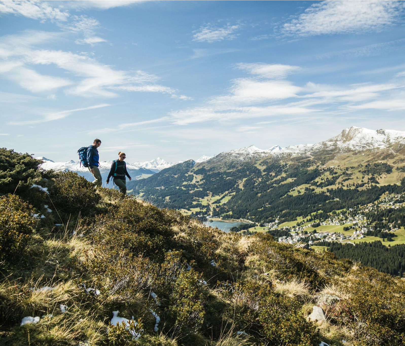
Diverse natural beauty – autumn hiking in Lenzerheide
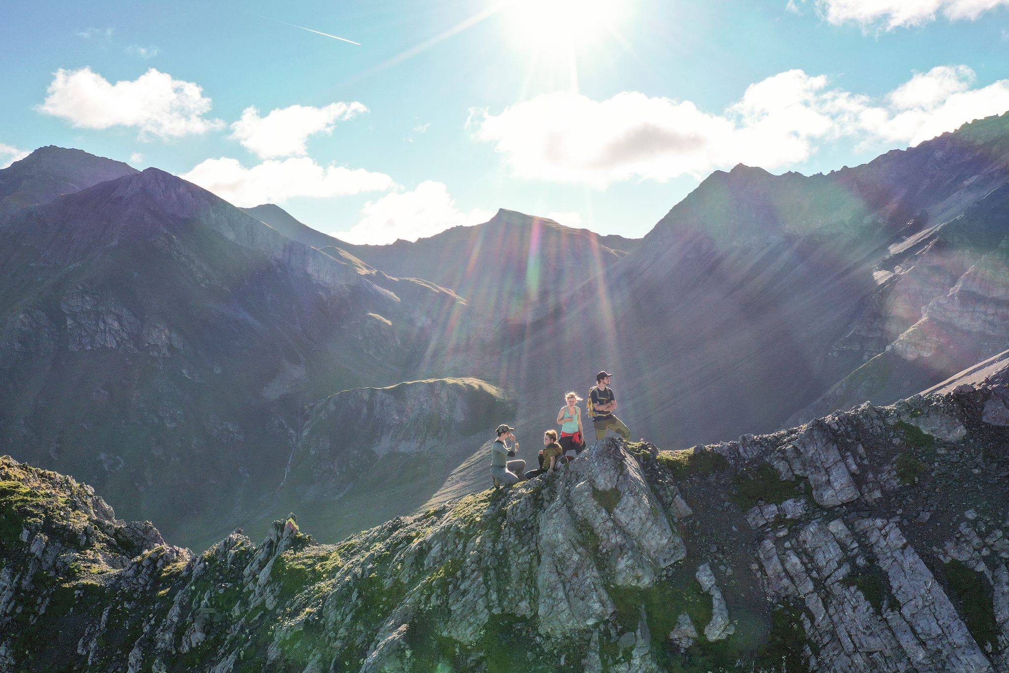
Satisfy your wanderlust in the Lenzerheide region
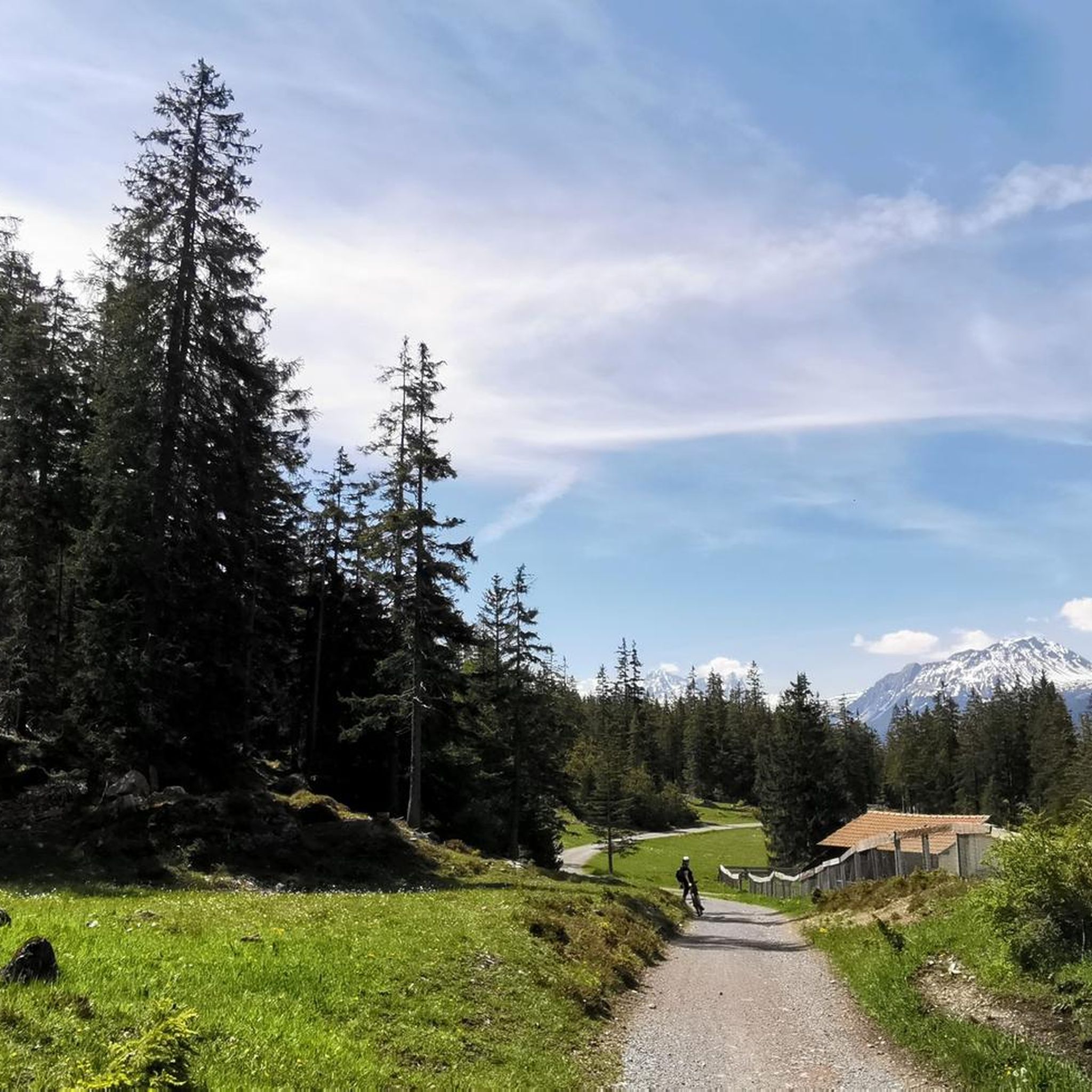
ランチュ/レンツのロードバイクルート
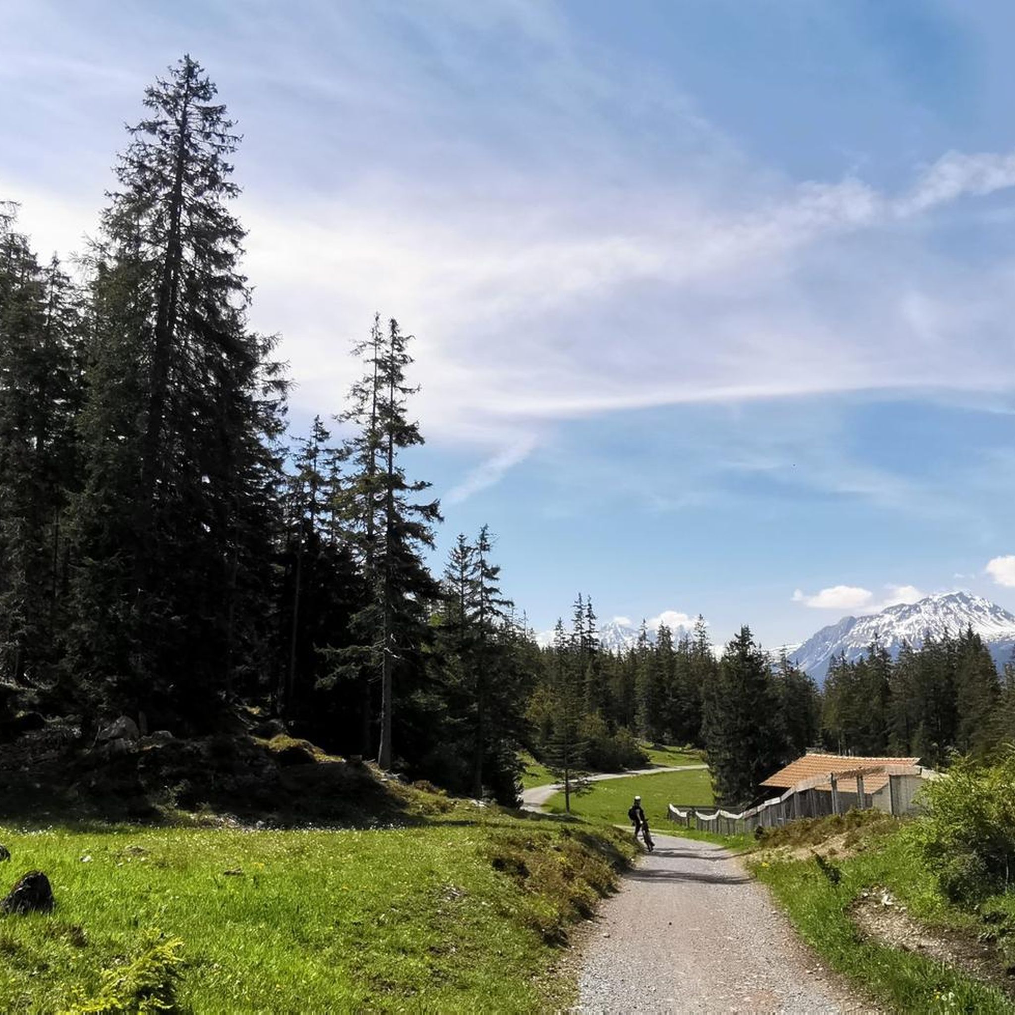
ランチュ/レンツでのハイキング
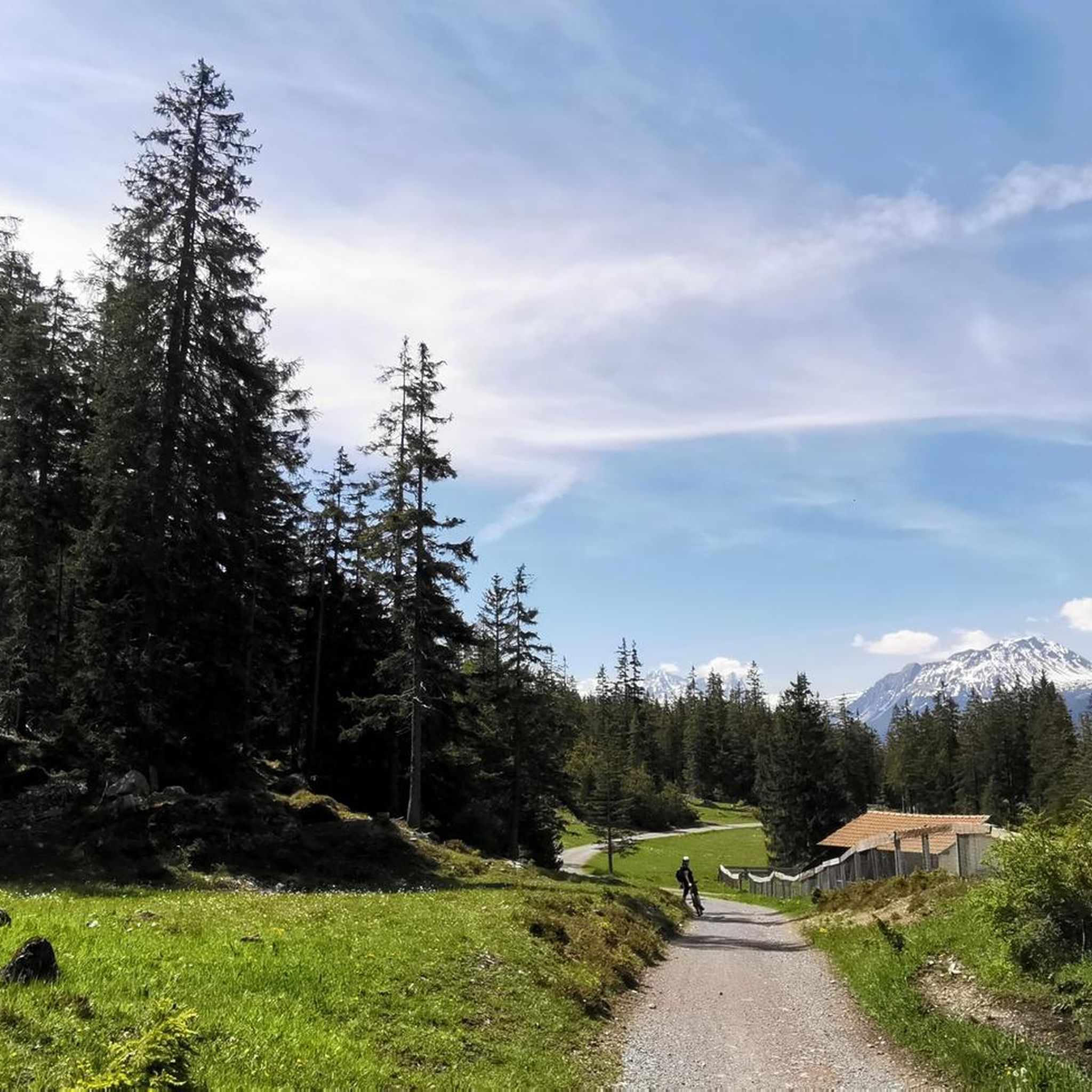
ランチュ/レンツのMTBトレイル
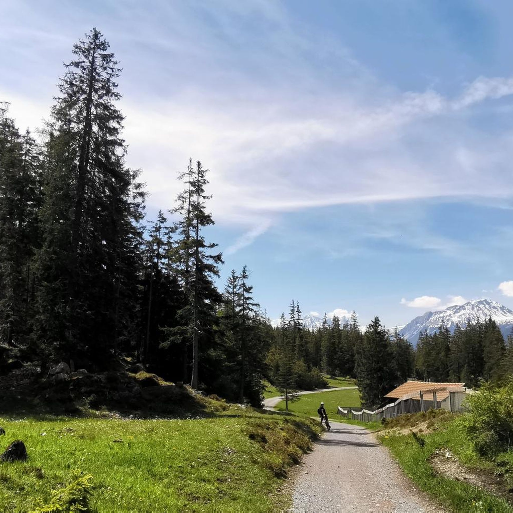
ランチュ/レンツでのサイクリング
ランチュ/レンツのランニングコース

ランチュ/レンツでののグラベルライド
ランチュ/レンツでのの他の冒険

コミュニティからのヒント


Prepare for a long, exhausting but amazing 2000 descent!
0
0

Top view into the distance and of Arosa
0
0

There are two ways to reach the Parpaner Rothorn: either by taking the cable car or by embarking on a challenging and strenuous hike. If you choose the latter option, you'll need sturdy footwear. Surefootedness and a head for heights are also beneficial on the ascent, ensuring you reach the summit safely. Next to the cable car station, there's also a panoramic restaurant where you can recharge with fine dining after a strenuous hike.
2
2
You can reach the 2,653-meter-high summit of the Weisshorn either by taking a strenuous but very worthwhile hike, or by taking the cable car in a very relaxed manner while sitting down. A fantastic view in all directions awaits you at the top.
2
0

The Viamala, Via Mala, Veia Mala means "bad path" and applies to the 8-kilometer-long path along the Hinterrhein between Thusis and Zillis-Reischen in Graubünden. The gorge was the most difficult obstacle to the Splügen and San Bernardino Alpine passes. The historic path on the right bank of the Rhine, the Veia Traversina, was renovated with the construction of the Traversinasteg, as was the new suspension bridge built in 2005 as a staircase. The Via Spluga is a Swiss cultural hiking trail no. 50 on the historic Alpine transit route from Thusis (Graubünden) over the Splügen Pass to Chiavenna (Italy). In 1967, the 6.6 km tunnel was built at the San Bernardino Pass, which connects the Rhine Valley with the Misox via the A13 motorway. The cantonal road Rongellen 1 and 2 with a tunnel runs parallel to the A13. The old pass road from Thusis to the Rongellen is now only for hikers and cyclists.
5
0
グラウビュンデンのドライビュンデンシュタインは、クール市の南、標高2,156メートルの地点にあり、標高2,174メートルのフルッガビュエル山の南側に位置しています。両者は高さ15メートルの鞍部と500メートルの距離で隔てられているだけです。この地点は山の頂ではなく、歴史的な場所です。かつての三同盟自由国の唯一の三重国境地点でした。1722年のオリジナル石碑はクール市内のレーティッシュ博物館に展示されています。1915年の代替石碑には、三同盟の3つの紋章が刻まれています。三同盟には、レテュンツの管轄共同体を含むグラーウアー・ブント、オルテンシュタイン城のゴッテスハウス・ブント、クールヴァルデンのツェー เกอร์リヒテン・ブントが含まれていました。
5
0

Great panorama, unfortunately there was too much snow for biking
0
0

komootモバイルアプリでインスピレーションを得よう


さらに探索
まだ探しているハイライトが見つかりませんか?他の地域のトップアトラクションのガイドを見てみましょう:
