ボーモントの天然記念物・トップ10
ボーモントが誇る美しい風景を見てみたいなら、ボーモントの素晴らしい天然記念物・トップ10
に行ってみましょう。あなたにぴったりの場所が見つかるよう、素晴らしい天然記念物を探索するために必要なすべての情報を集めました。次のアウトドアの冒険に出かける計画の参考にしましょう。
最終更新日: 10月 5, 2026
レメジャドゥーのアヴェン
ハイライト • 洞窟
Quotation taken from the site photoardeche.free.fr/themes/grottes/zone_gras/remejadou/index.htm
翻訳者 Google •
役立つ情報 は

ラ・スーシュとロクル近くの尾根トレイル
ハイライト (セグメント) • トレイル
翻訳者 Google •
役立つ情報 は

今すぐサインアップして、こんな場所を発見しよう
最高のシングルトラック、ピーク、その他のエキサイティングなアウトドアスポットのおすすめを受け取ろう。
ボームの絶景
ハイライト • 展望台
翻訳者 Google •
役立つ情報 は

ラ・ドロビー渓谷
ハイライト (セグメント) • 峡谷
翻訳者 Google •
役立つ情報 は

ジャンダルムの帽子の泉
ハイライト • 自然記念物
In any …
翻訳者 Google •
役立つ情報 は

無料でサインアップして、さらに多くの自然記念物を発見しましょう ボーモントでの。
すでにアカウントをお持ちですか?
無料アカウントで今日から始めよう
次の冒険が待っています。

コミュニティからのヒント

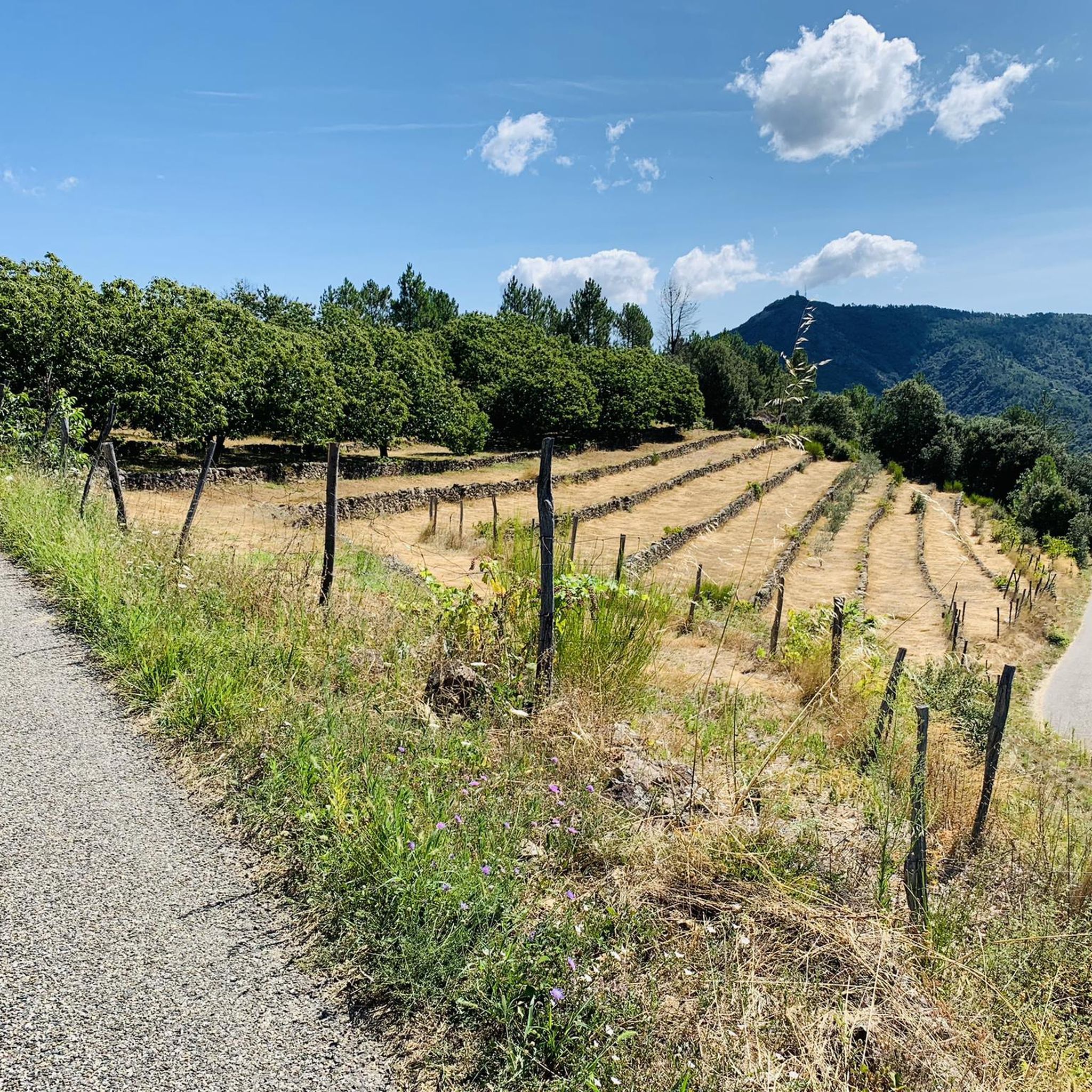
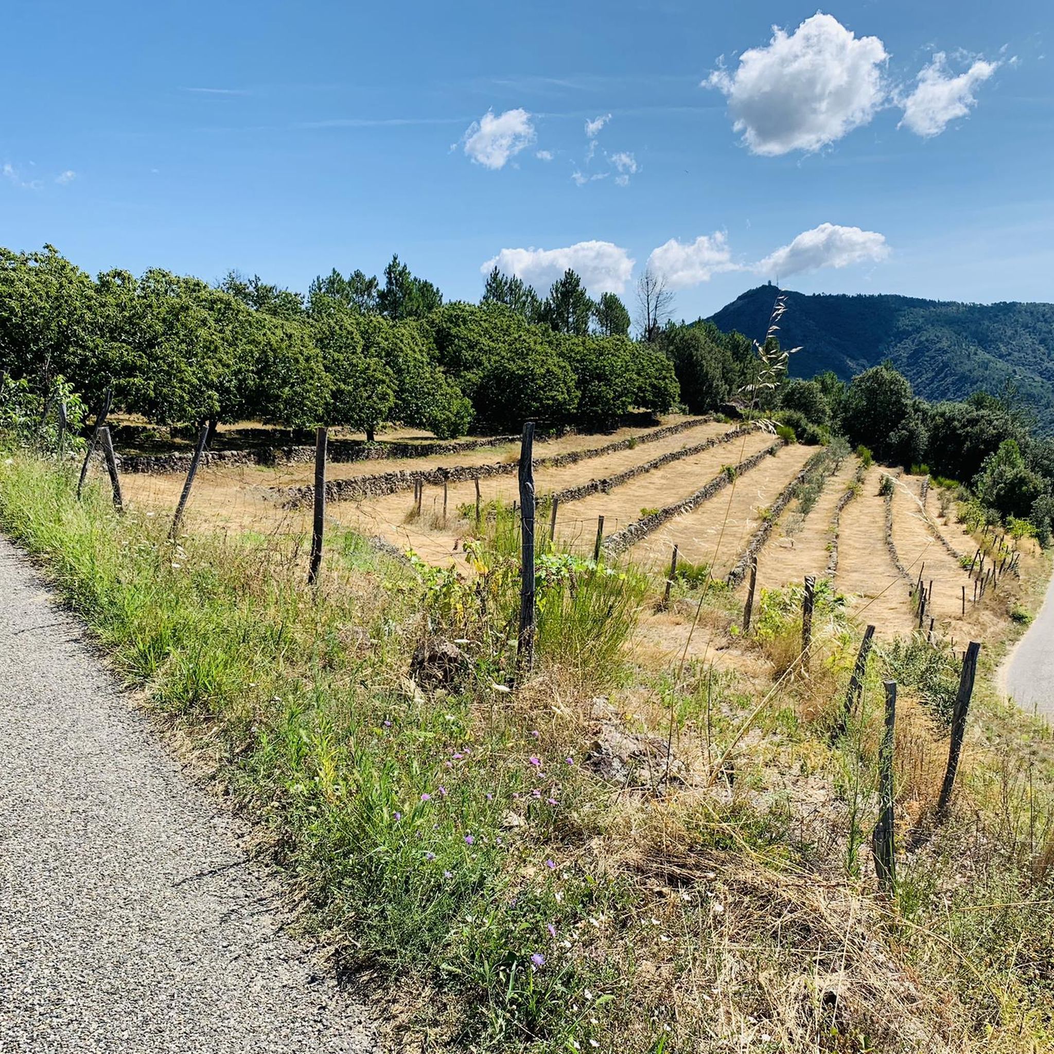
持続的な登りですが、太いタイヤのグラベルバイクなら可能です。グラベルでの下りは楽しくなく、常にブレーキをかけることになるでしょう。col de Sucheyre の尾根では注意してください。石が非常に攻撃的で、タイヤの側面を裂いてしまいました。
0
0

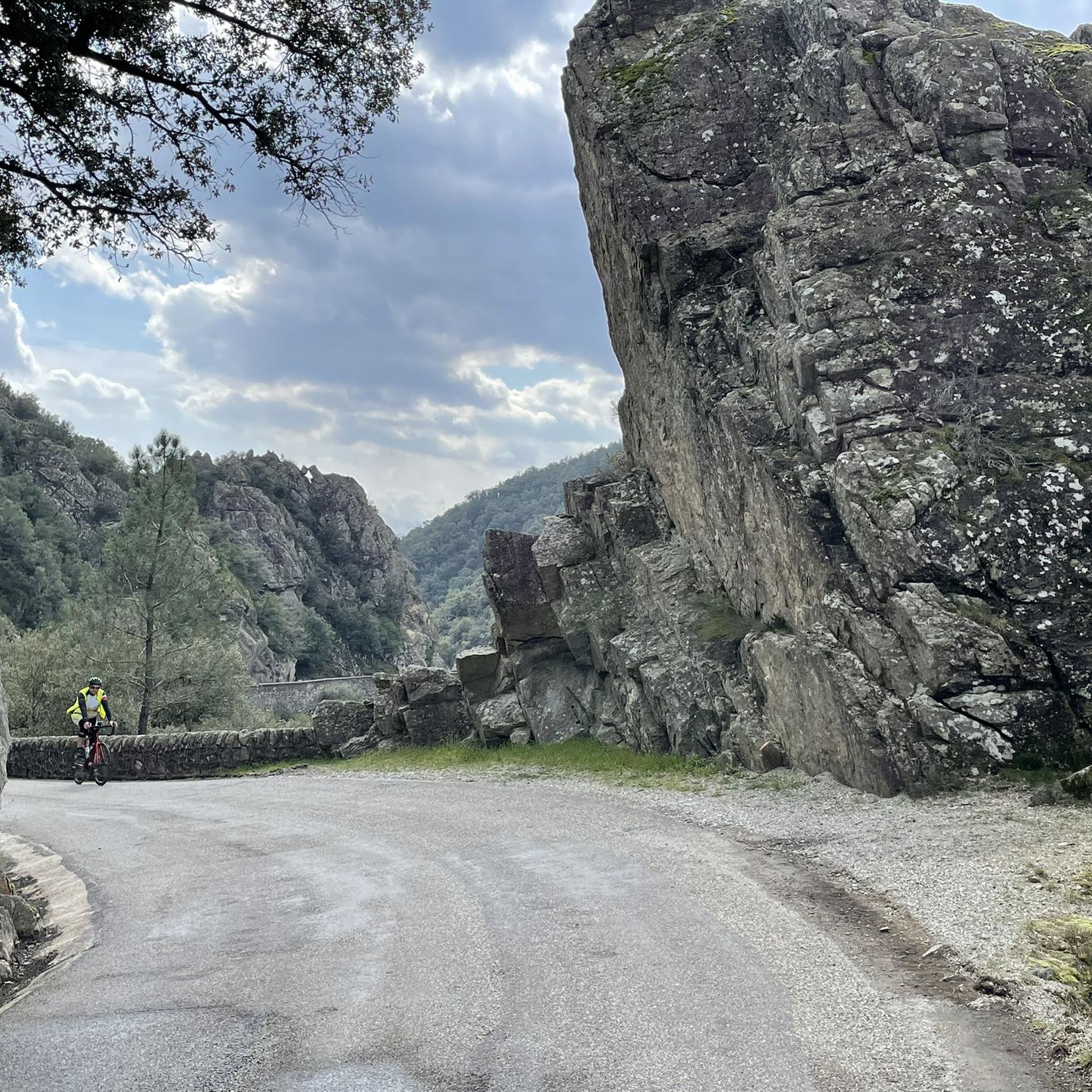
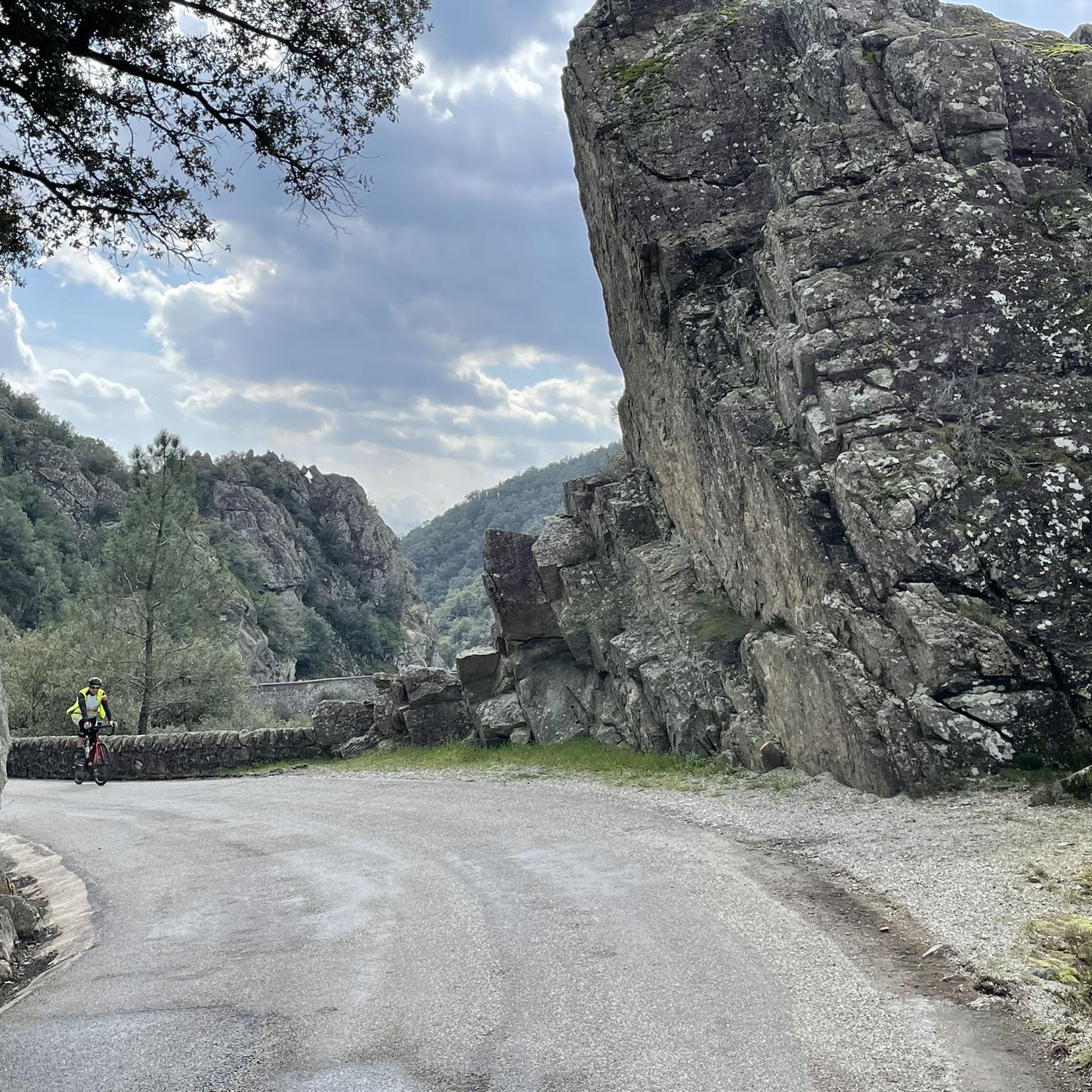
A pleasure for the eyes and the head as much as for the legs: asphalt in good condition, almost no cars and a magnificently wild, mineral and steep valley... up to the Col de l'Echelette if you feel like it, the show is worth it!
0
0

The Aven du Réméjadou constitutes an impressive opening on the Plateau des Gras onto a vast underground network, submerged almost over its entire length. Isolated in the middle of a forest of shaggy oaks in a ruiniform and chaotic environment of large blocks of limestone, the entrance is characterized by a deep gap. 26 meters high, the well opens directly onto an underground river that can be heard very clearly from the entrance. In heavy rains, the waters of the river sometimes rise up the well with a roar which can then be perceptible from afar. Given its characteristics, the exploration of this network where exposed sections are rare remains the almost exclusive domain of seasoned cave divers.
0
0
La Beaume, a tributary of the Ardèche, is a 40km long river which originates in Loubaresse at an altitude of 1190m, from a multitude of steeply sloping streams flowing down the sides of mountains planted with forests, overlooking the valley. . The whole valley and the Beaume gorges offer pretty sandy and rocky beaches to fully enjoy swimming.
0
0

On your right, you will see a path that you can take to see the Réméjadou sinkhole. Be careful because the sinkhole is deep and the surroundings can be slippery. Quotation taken from the site http://photoardeche.free.fr/themes/grottes/zone_gras/remejadou/index.htm "Cavity explored for the first time on July 7, 1892 by Gabriel Gaupillat Coordinates: X= 753.117 Y= 239.240 Z = 195.1 - Depth: - 51 meters The Aven du Réméjadou constitutes on the Plateau des Gras an impressive opening onto a vast underground network, submerged almost over its entire length. Isolated in the middle of a forest of shaggy oaks in a ruiniform and chaotic environment of large blocks of limestone, the entrance is characterized by a deep gap. 26 meters high, the well opens directly onto an underground river that can be heard very clearly from the entrance. In heavy rains, the waters of the river sometimes rise up the well with a roar which can then be perceptible from afar. Given its characteristics, the exploration of this network where exposed sections are rare remains the almost exclusive domain of seasoned cave divers.
0
0

Shakes way too much for gravel. Big stones, few rolling parts, it's a shame because it is indeed beautiful.
0
0

varied and pleasant hike. The end of this one is very pleasant but to be avoided after rains because either it is inaccessible evening the crossings are slippery. In any case, you have to be well-shod and the poles are not useless.
2
0

Coarse gravel, sharp rocks, exposed to the weather. Great distant views, a must.
0
0
ボーモントでのの人気観光スポット

komootモバイルアプリでインスピレーションを得よう


さらに探索
これらのガイドで、最高の洞窟を探す範囲を広げましょうボーモントでの:
