ミラベルの峠・トップ3
風景を楽しんだり、上りや下りを満喫したり、峠には楽しみ方がたくさんあります。ミラベルの素晴らしい峠の一覧を参照して、思い出に残るアドベンチャーに出かけましょう。コミュニティのメンバーがコミュニティのために投稿した峠のハイライトは、他のユーザーが実際におすすめする情報なので、どれも信頼できるものです。気に入った峠にさっそく向かってみましょう。
最終更新日: 8月 26, 2026
コル・デュ・ベナ(795m)
ハイライト • 山道
翻訳者 Google •
役立つ情報 は

コレット・デ・ラ・セール
ハイライト • 山道
It allows a crossing on almost traffic-free roads.
From Valvignères, the road initially winds gently …
翻訳者 Google •
役立つ情報 は

今すぐサインアップして、こんな場所を発見しよう
最高のシングルトラック、ピーク、その他のエキサイティングなアウトドアスポットのおすすめを受け取ろう。
無料新規登録
フォンテネル峠(718m)
ハイライト • 山道
翻訳者 Google •
役立つ情報 は
エスクリネ峠
ハイライト • 山道
翻訳者 Google •
役立つ情報 は

コル・ド・ラ・フィゲイロール(標高275m)
ハイライト • 山道
翻訳者 Google •
役立つ情報 は

無料アカウントで今日から始めよう
次の冒険が待っています。
ログインまたは登録
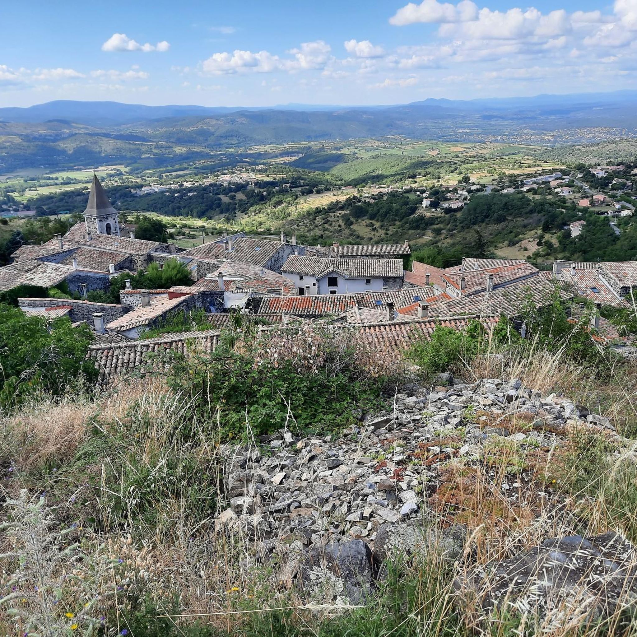
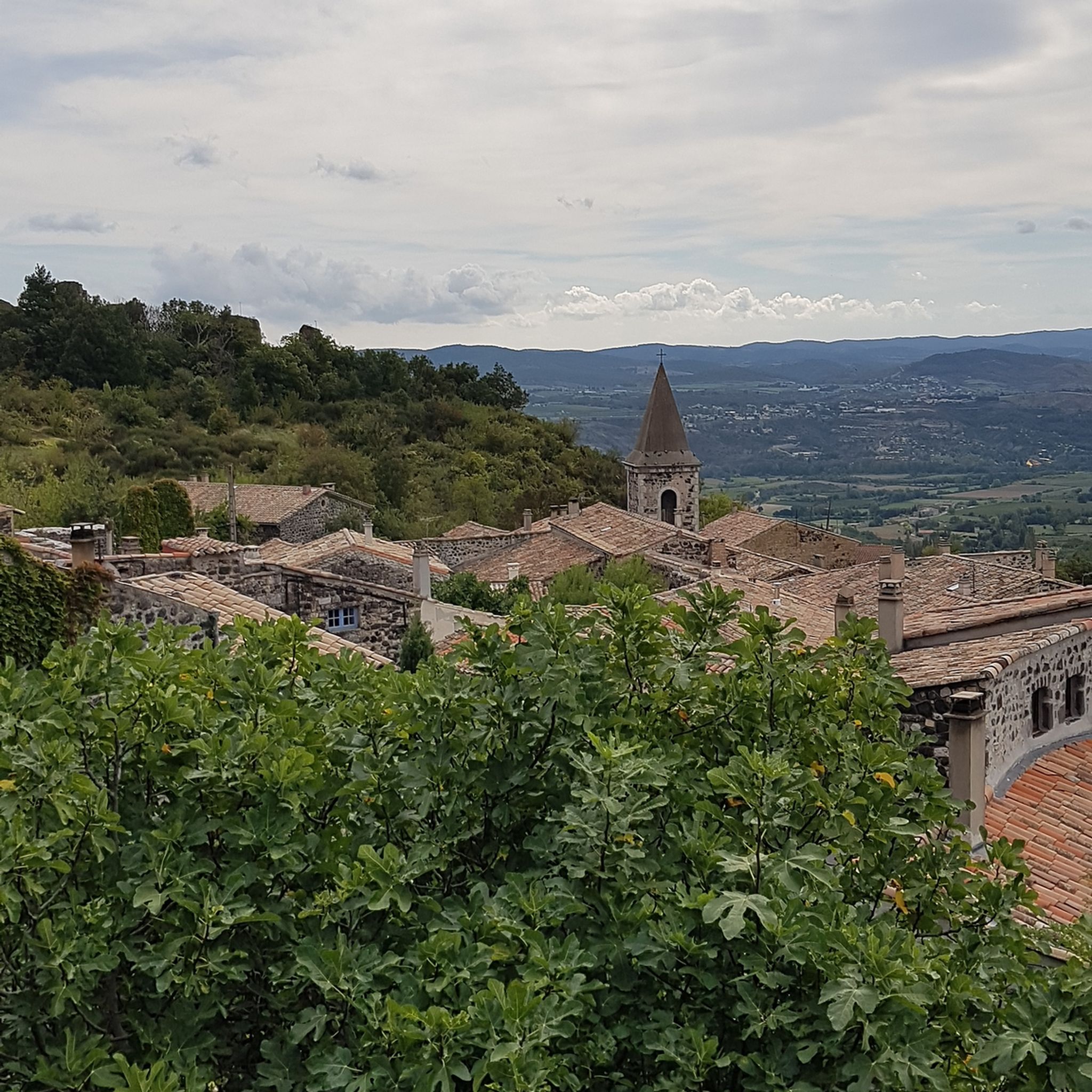
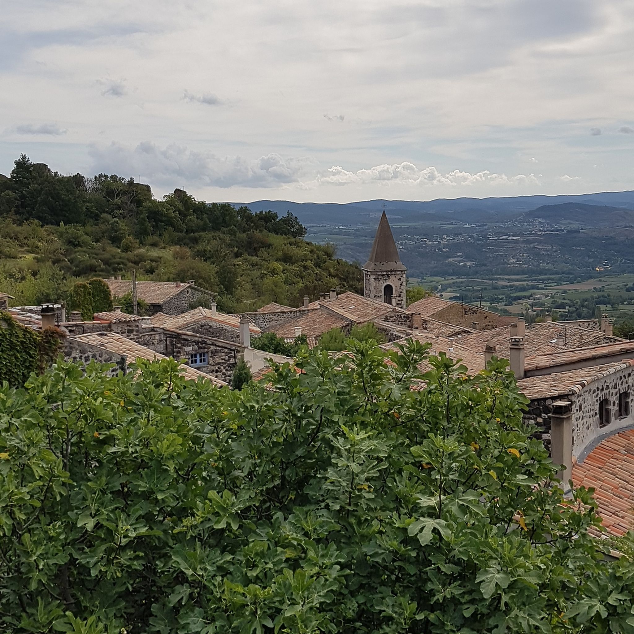
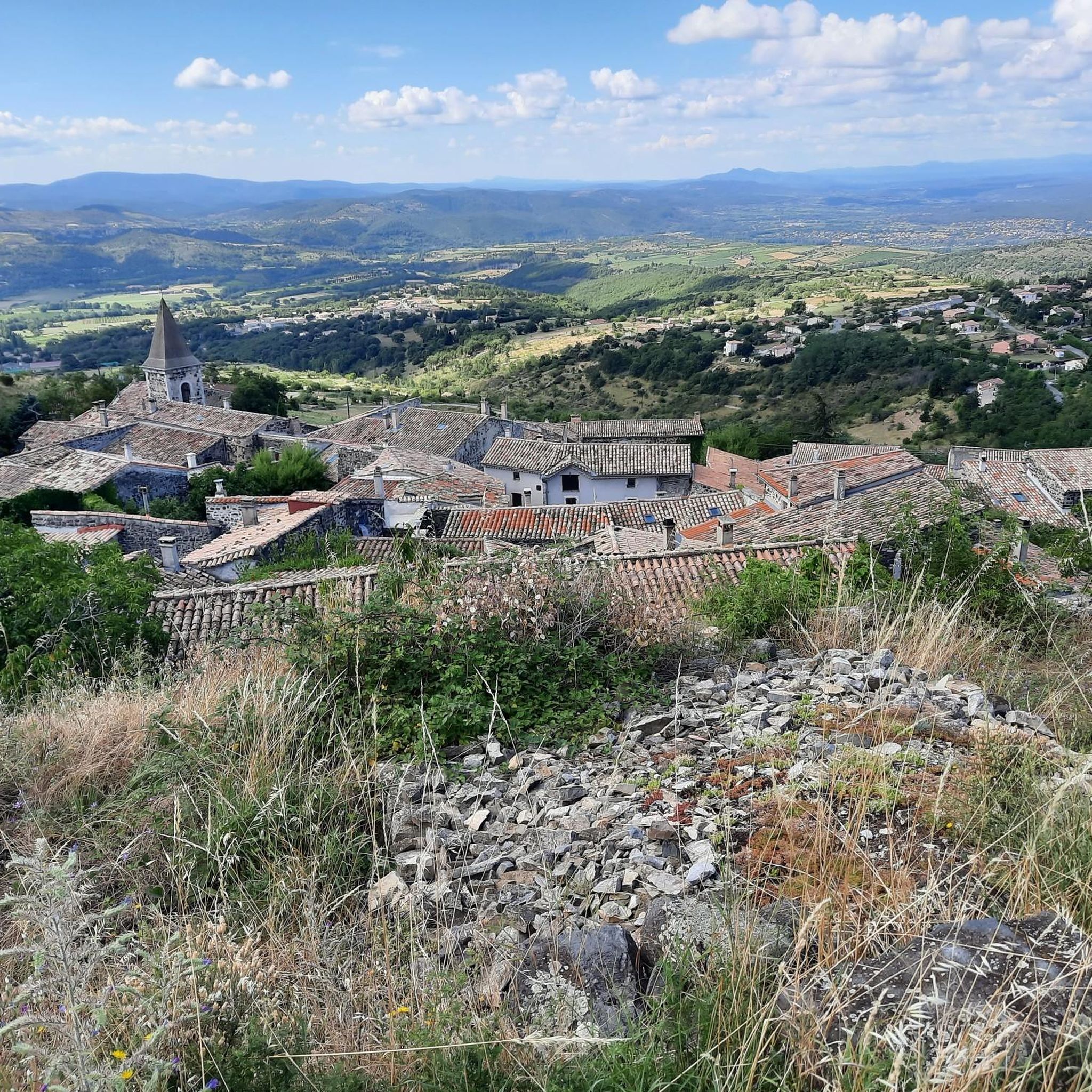

コミュニティからのヒント

イビエ谷から状態の悪い舗装、ヴァルヴィニエールへの美しい景色を望む下り坂。静けさが保証されており、私の旅の間は車がありませんでした。 Titi
0
0
Maximum slopes of 6.2% in the Benas David pass, we didn't have to do the same. And then 17.5 km with a flat area which can make it seem shorter if you don't have the wind in your face. There are some passages that are even steeper. I consider it more difficult than Ventoux from Areau to Chalet Reynard 20km. But it is true, a very nice pass to do, for a good beginner like me aged... (Lol).. And a good preparation in comparison therefore for the Ventoux from Areau done the next day, in which it was necessary to have kept strength for the 6 deniers kilometres.
0
0

The climbs are super pleasant. The descents are risky because they are narrow and fast. Attention !
0
0
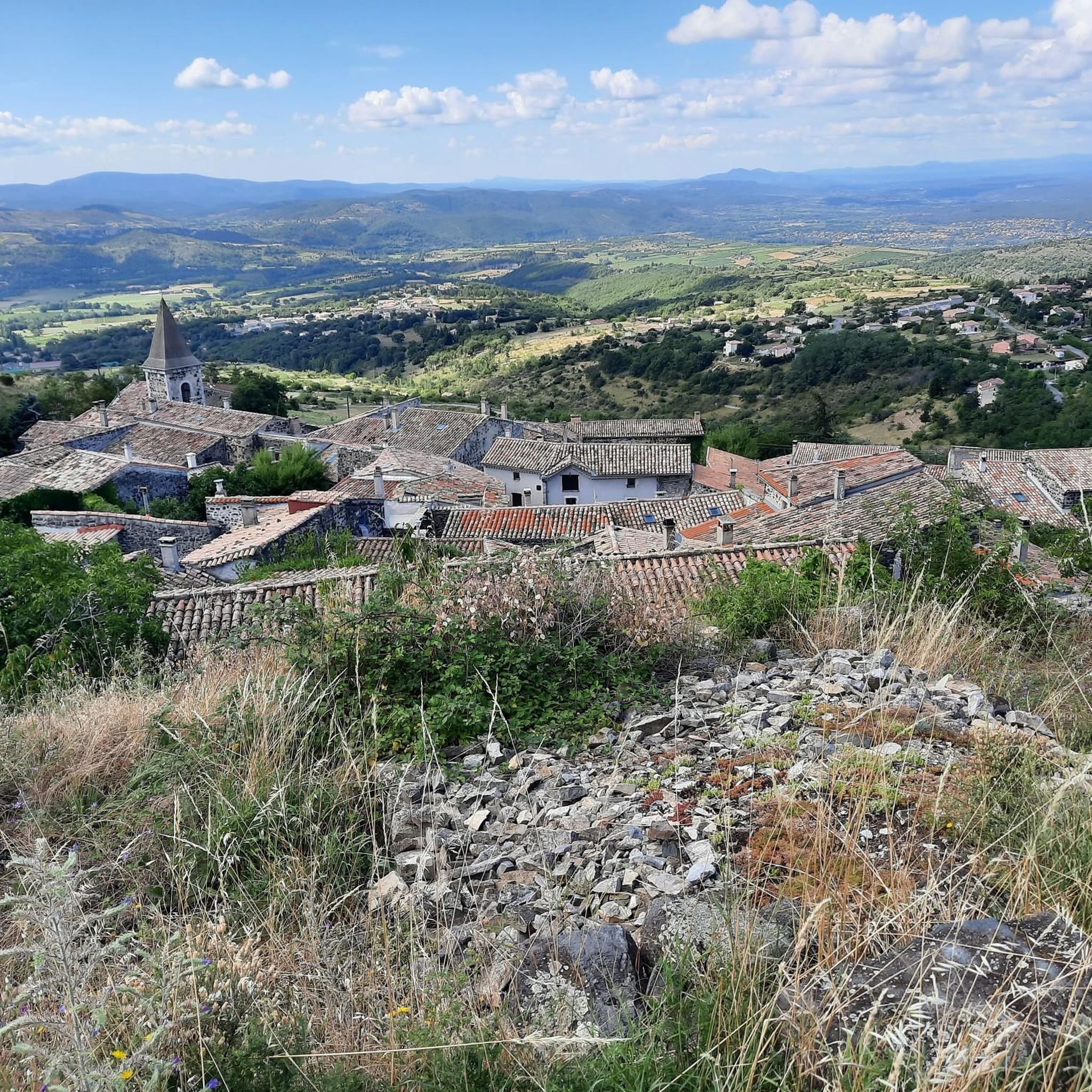
From this pass we see the Privas plain to the north and the Aubenas plain to the south.
0
0

Beautiful winding road up with beautiful views and in clear weather even the MontVentoux!
0
0

The Col de Fontenelle is 9.4 km long with a total drop of 395 m. The average gradient is 4.2% with maximum gradients of 11.7%.
3
0
The Col du Benas from Privas is 13.5 km long with a total drop of 515 m. The average gradient is 3.7% with maximum gradients of 6.2%.
1
0

Pass taken from Aubenas. Nice climb despite the traffic. Very nice view of the Ardeche mountains and exhilarating descent to Privas
0
0
ミラベルでのの人気観光スポット

komootモバイルアプリでインスピレーションを得よう


さらに探索
これらのガイドでさらに壮大な山道を見てみましょうミラベルでの:
