ピュイサンヴァンサンの峠・トップ5
風景を楽しんだり、上りや下りを満喫したり、峠には楽しみ方がたくさんあります。ピュイサンヴァンサンの素晴らしい峠の一覧を参照して、思い出に残るアドベンチャーに出かけましょう。コミュニティのメンバーがコミュニティのために投稿した峠のハイライトは、他のユーザーが実際におすすめする情報なので、どれも信頼できるものです。気に入った峠にさっそく向かってみましょう。
最終更新日: 8月 25, 2026
Col de la Pousterle
ハイライト • 山道
翻訳者 Google •
役立つ情報 は

コル・ド・フレシニエール(2,787m)
ハイライト • 山道
翻訳者 Google •
役立つ情報 は

今すぐサインアップして、こんな場所を発見しよう
最高のシングルトラック、ピーク、その他のエキサイティングなアウトドアスポットのおすすめを受け取ろう。
無料新規登録
コル・デュ・バル(標高2601m)
ハイライト • 山道
翻訳者 Google •
役立つ情報 は

ラティエールからコル・ド・トランクレットへ
ハイライト (セグメント) • 山道
Through this pass …
翻訳者 Google •
役立つ情報 は
コル・ド・ラ・ピス
ハイライト • 山道
翻訳者 Google •
役立つ情報 は
無料アカウントで今日から始めよう
次の冒険が待っています。
ログインまたは登録
ピュイサンヴァンサン周辺で人気

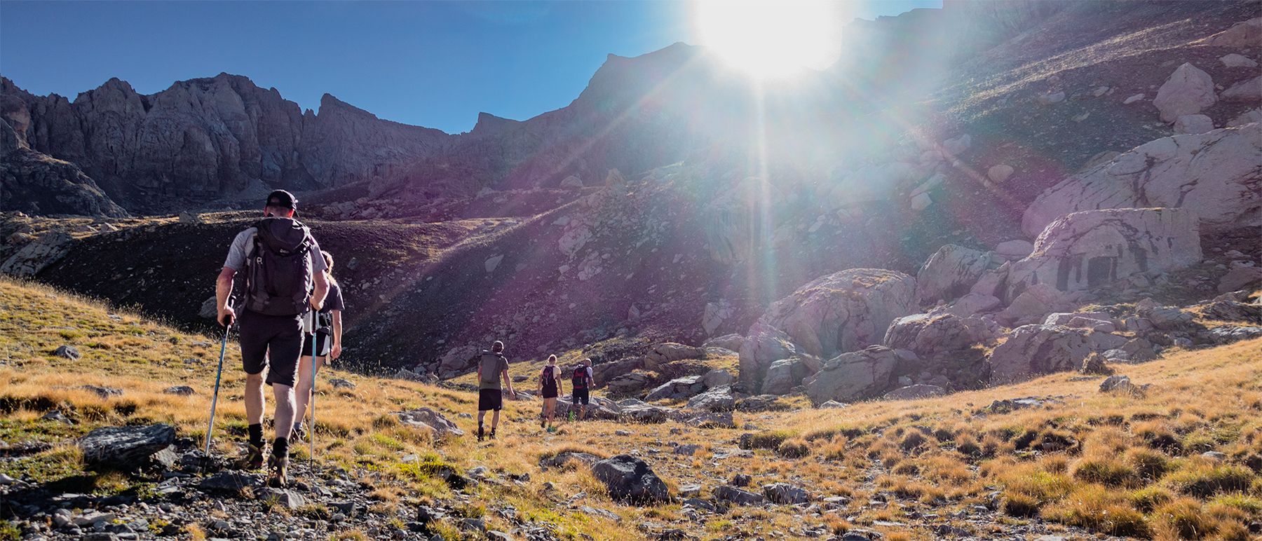
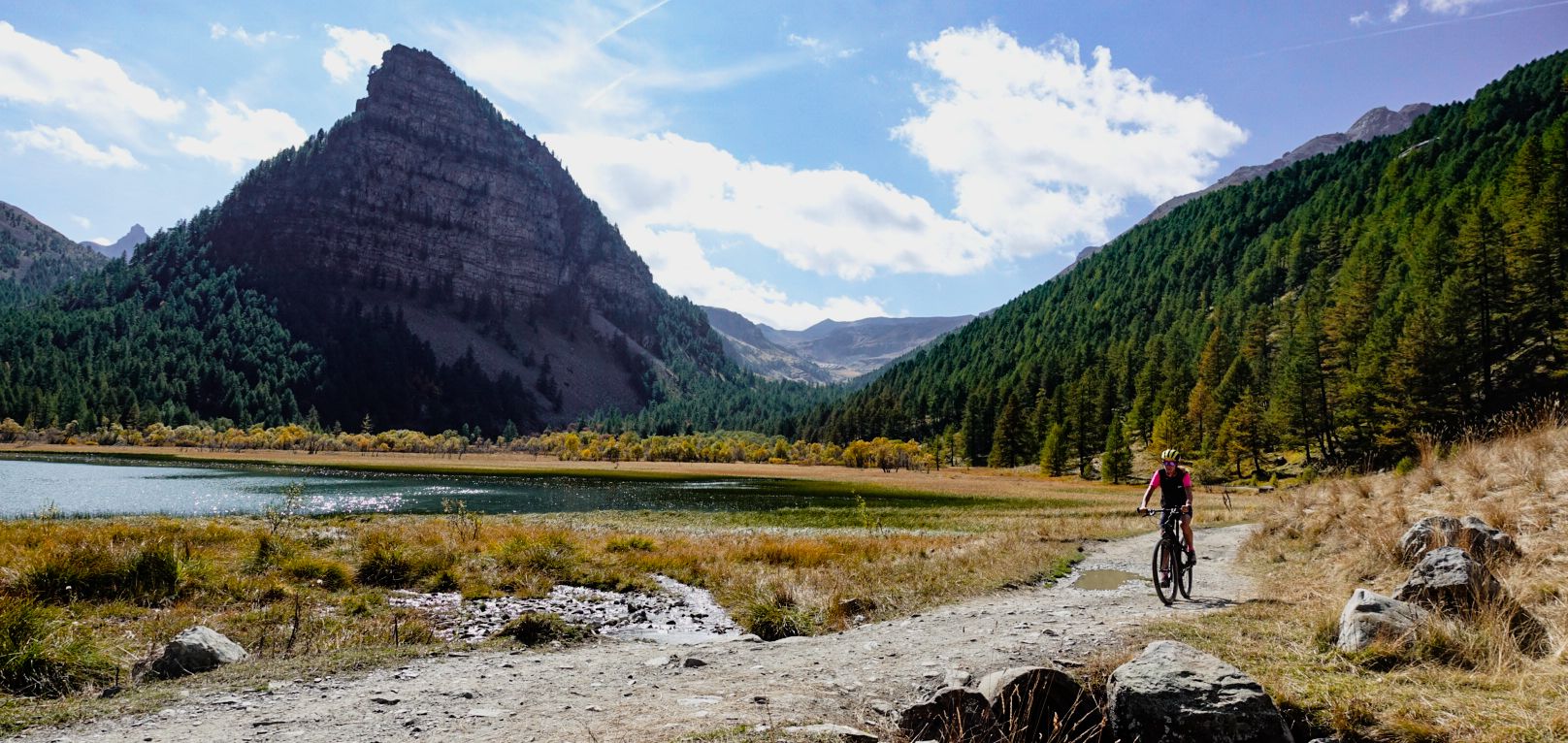
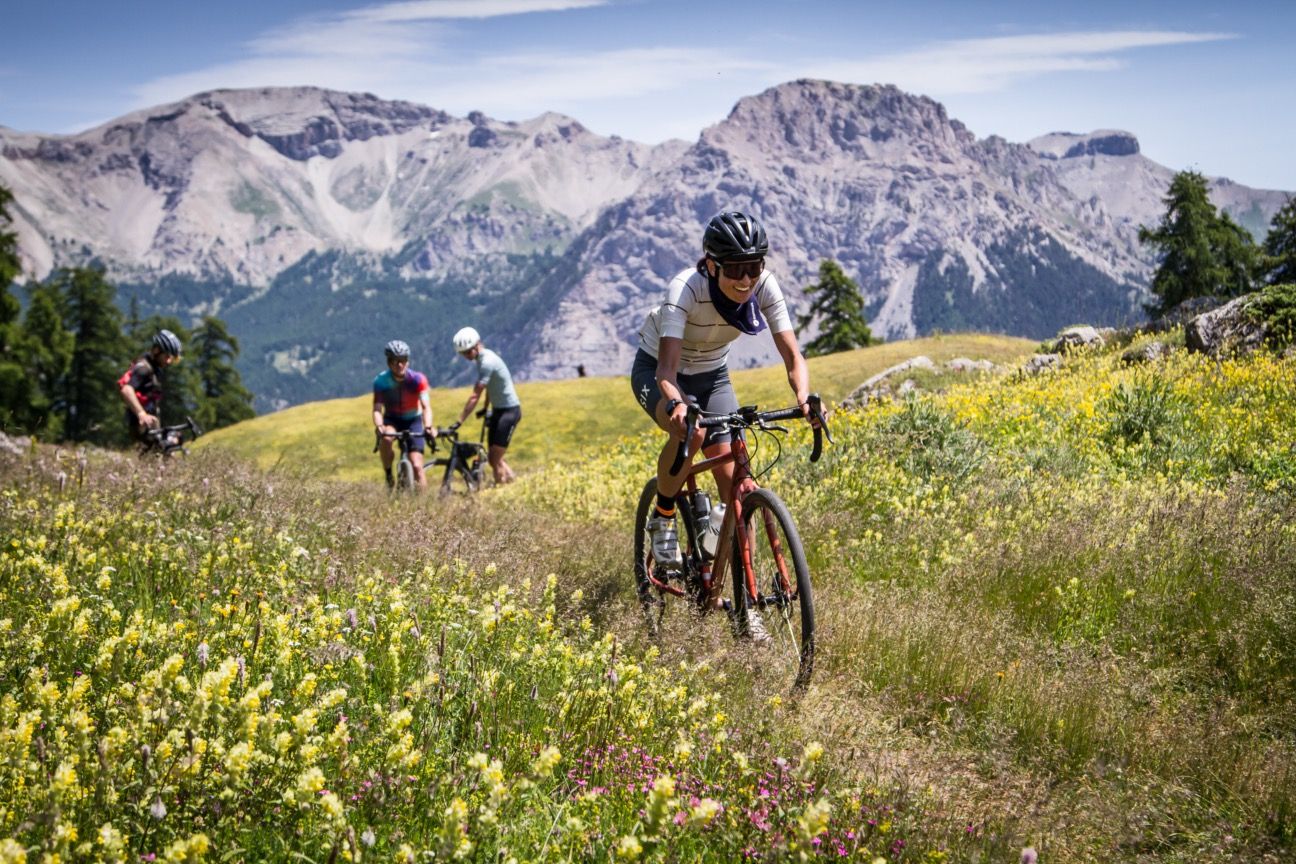
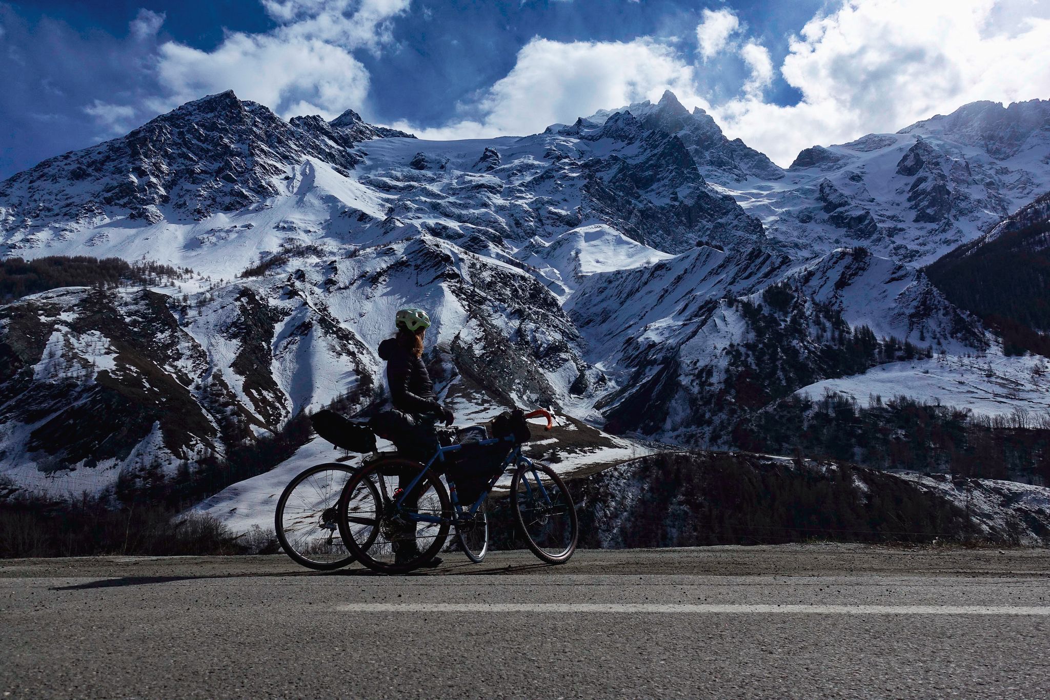
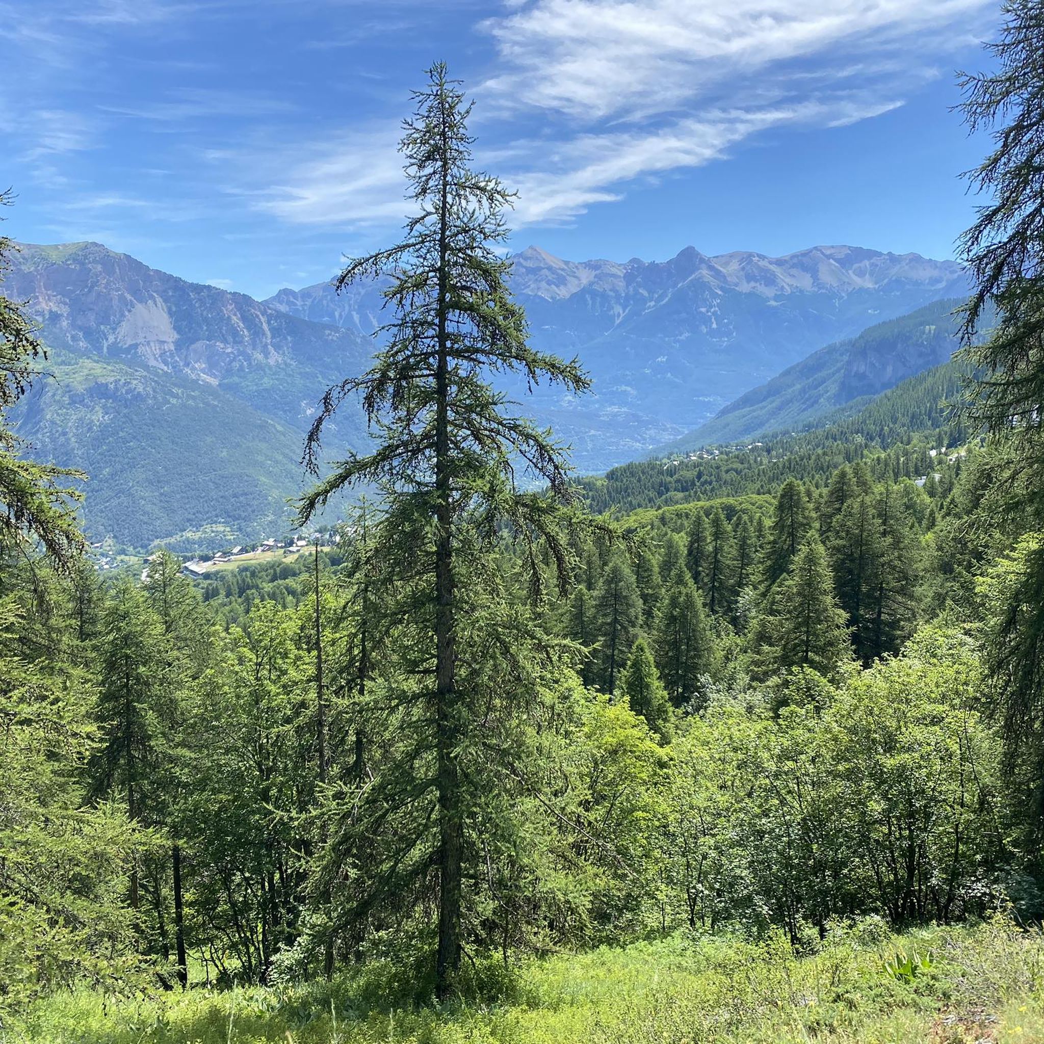
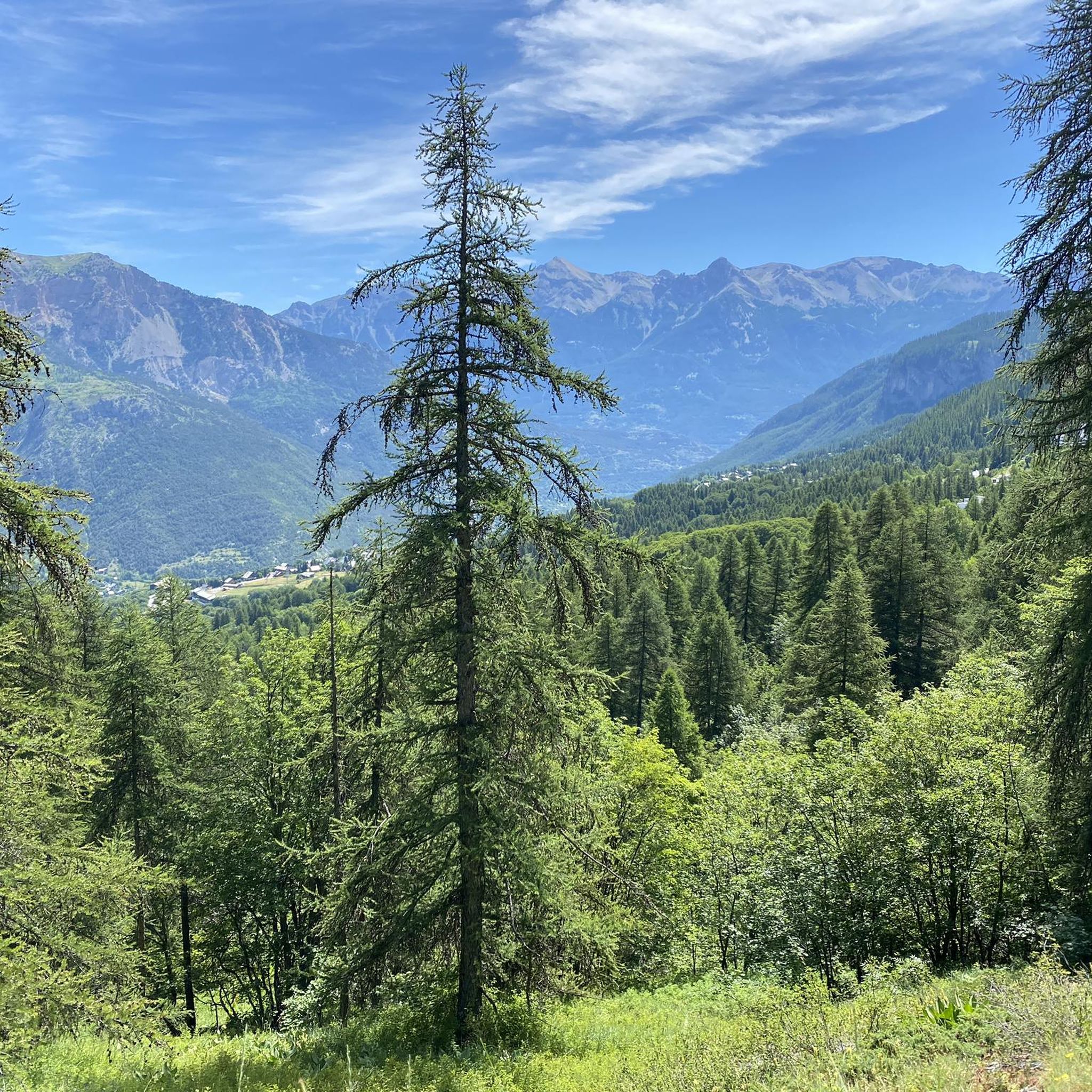
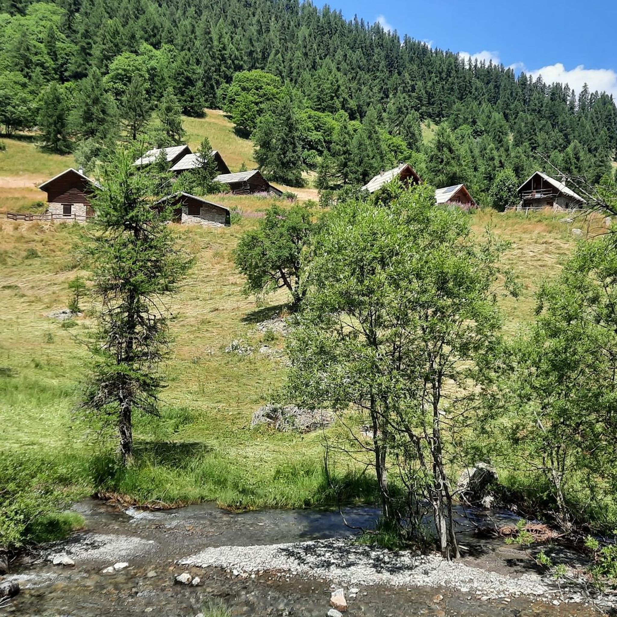
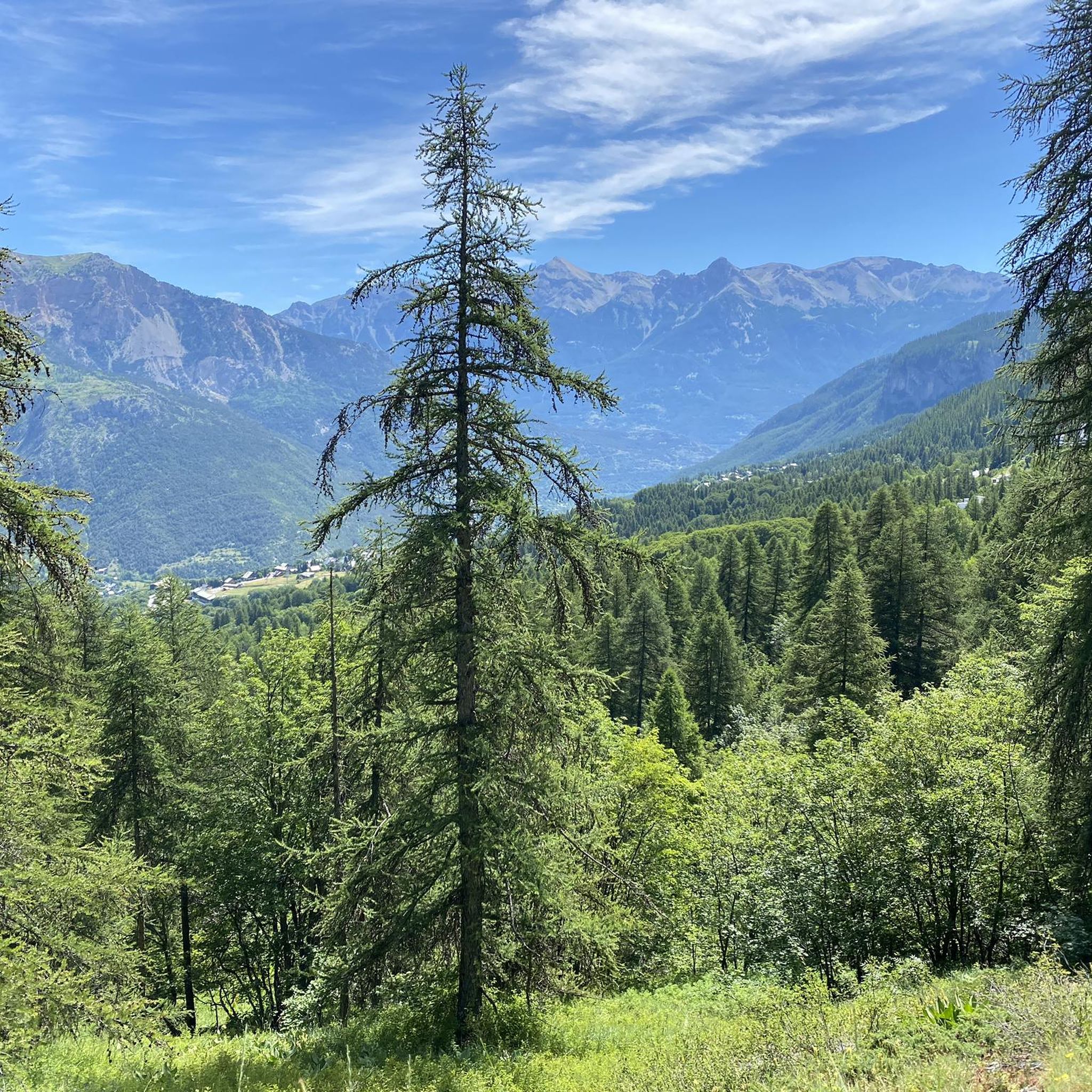
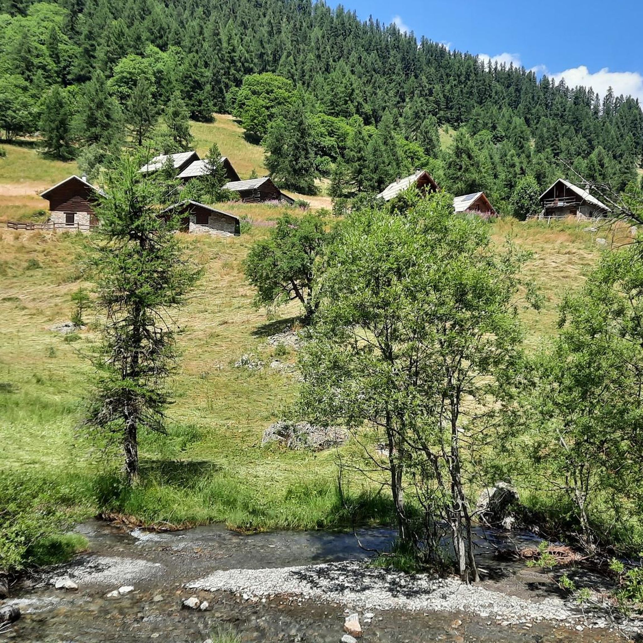
ピュイサンヴァンサンでのの他の冒険


コミュニティからのヒント

Beautiful plateau that is reached after a long climb with a beautiful view
0
0

In Occitan, the pousterle is a small gate (a postern). It comes from the Latin posterula, which means the back door. This toponym sometimes refers to a pass, which is a gate between two valleys. Glaciers carved out this gate where an arm passed between the glacier that occupied the Fournel valley and the one that flowed into the Vallouise valley.
0
0

After a long climb, you reach the Col de la Pisse. From there, view of Pelvoux (3,946 meters), L'Eychauda (2,659 meters), Condamine (2,940 meters) and Rocher Bouchard (2,900 meters). The descent is technical, so watch out for your ankles.
0
0

The Col de Trancoulette is a hill located at 2257m, just below peaks such as La Croix d'Aquila (2466m), La Roche Jaune (2421m) or Roche Bouchard (2900m). Through this pass you can access the Reserve Naturelle des Partias from the valley and torrent of the Sachas. This protected mountain natural area became a Regional Nature Reserve in 2009. To access the Col de Trancoulette from Le Villaret take the D336 which in a few kilometers becomes a track. Continue towards Sachas and then towards Ratière. Continue the track towards Bouchier and then turn right onto a very steep track towards the La Trancoulette pass. You can reach a cycle track to a field with spectacular views where there is a large wooden cross and a sheepfold. From there you can choose to leave the bikes in the pen and continue walking to the hill, in 35' you will be up and another 30' down. If you continue carrying the bike, it will take you much longer, but you will be able to ride down some fun trails. From the Col de Trancoulette you will have beautiful views of La Croix d'Aquila (2466m), La Roche Jaune (2421m) or Roche Bouchard (2900m) and further down the Parthias Nature Reserve.
0
0

Col de la Pousterle, our home climb and place to have bbq's. Views over the Ecrins.
0
0

The pass offers a small wooded plateau from which many hikes and cross-country skiing or hiking trails start. A car park not far away as well as a refuge allow easy access. A rock bar has been converted into a climbing spot for the summer.
0
0

Col du Bal is a col at 2601 that leads you to the Crête de la Pendine. In winter, this col is a favorite with ski tourers, who cross here from the ski area of Puy Saint Vincent to descend into the Narreyroux valley.
0
1
After a long hike-a-bike you reach the Col de la Pisse. From here you have views of the Pelvoux (3946m), L'Eychauda (2659m), Condamine (2940m) and Rocher Bouchard (2900m). The descent is technical for a gravel bike, easier on a mountain bike.
0
0
ピュイサンヴァンサンでのの人気観光スポット

komootモバイルアプリでインスピレーションを得よう


さらに探索
これらのガイドでさらに壮大な山道を見てみましょうピュイサンヴァンサンでの:
