サンディジエアンディオワの峠・トップ6
風景を楽しんだり、上りや下りを満喫したり、峠には楽しみ方がたくさんあります。サンディジエアンディオワの素晴らしい峠の一覧を参照して、思い出に残るアドベンチャーに出かけましょう。コミュニティのメンバーがコミュニティのために投稿した峠のハイライトは、他のユーザーが実際におすすめする情報なので、どれも信頼できるものです。気に入った峠にさっそく向かってみましょう。
最終更新日: 9月 8, 2026
カブレ峠(標高1180m)
ハイライト (セグメント) • 山道
翻訳を表示中
役立つ情報 は

プレモル峠
ハイライト • 山道
翻訳者 Google •
役立つ情報 は

今すぐサインアップして、こんな場所を発見しよう
最高のシングルトラック、ピーク、その他のエキサイティングなアウトドアスポットのおすすめを受け取ろう。
ポメロル峠
ハイライト (セグメント) • 山道
翻訳を表示中
役立つ情報 は
ロッサス峠
ハイライト • 山道
翻訳者 Google •
役立つ情報 は

コル・デ・トゥレット(1126m)
ハイライト • 山道
翻訳を表示中
役立つ情報 は
無料でサインアップして、さらに多くの山道を発見しましょう サンディジエアンディオワでの。
すでにアカウントをお持ちですか?
無料アカウントで今日から始めよう
次の冒険が待っています。
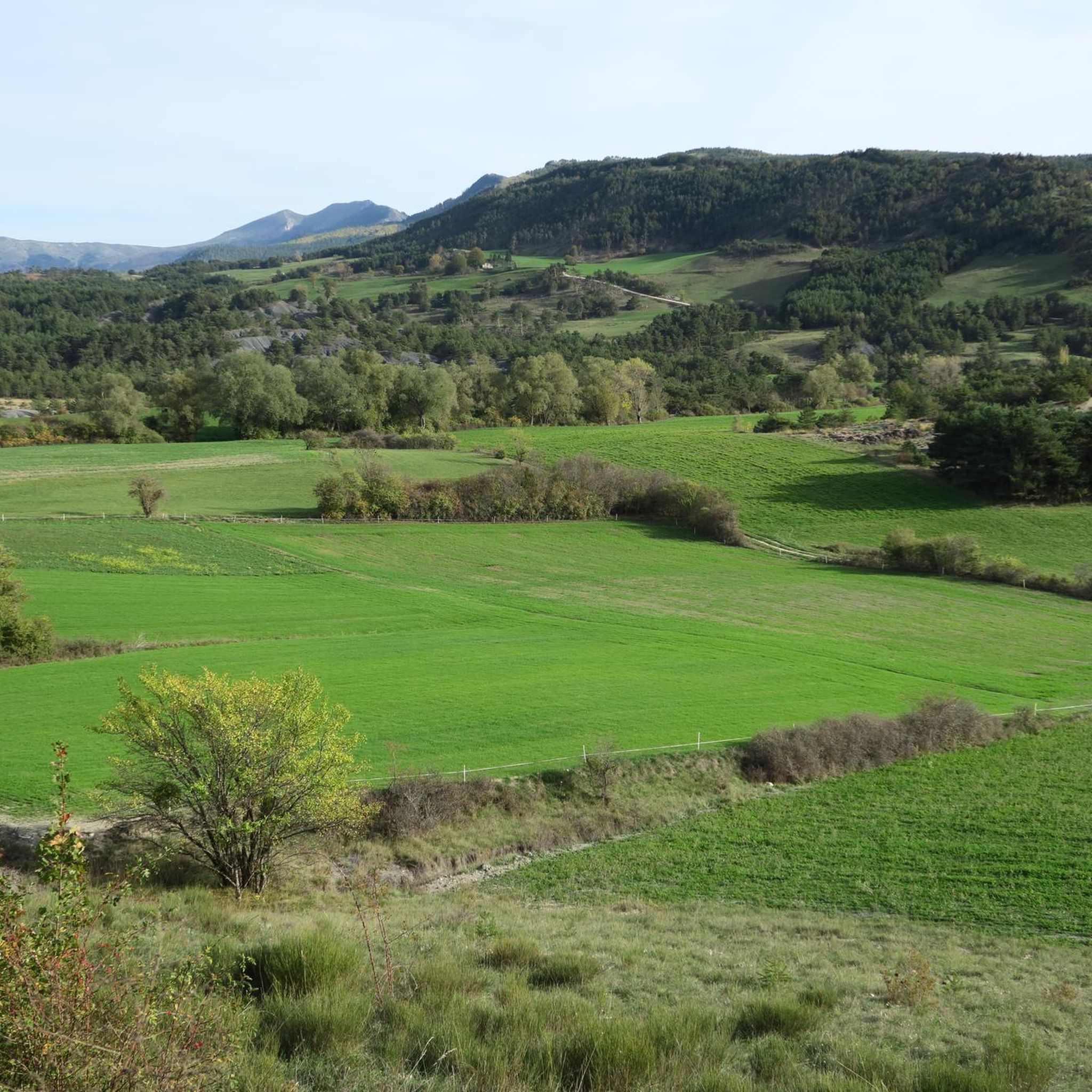
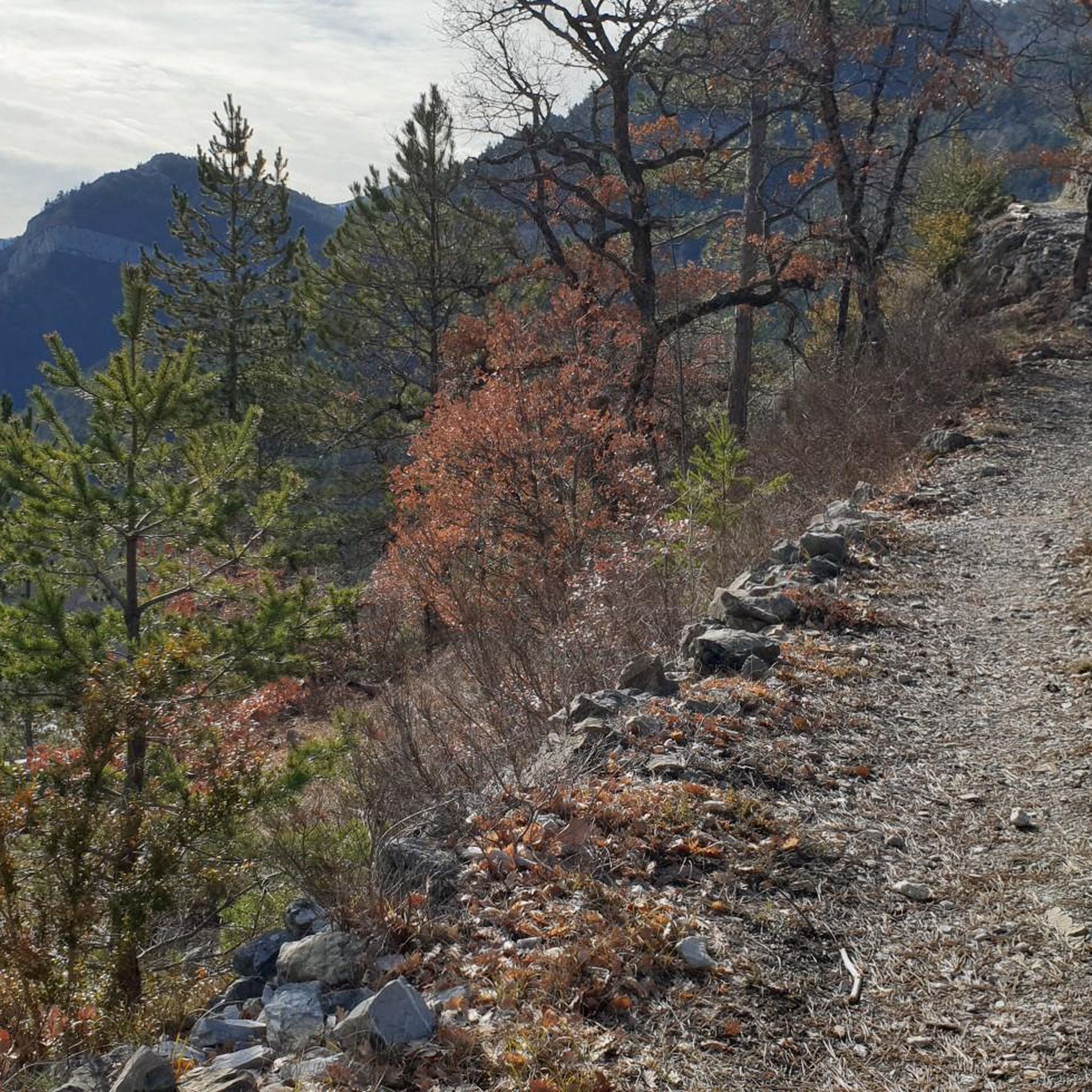
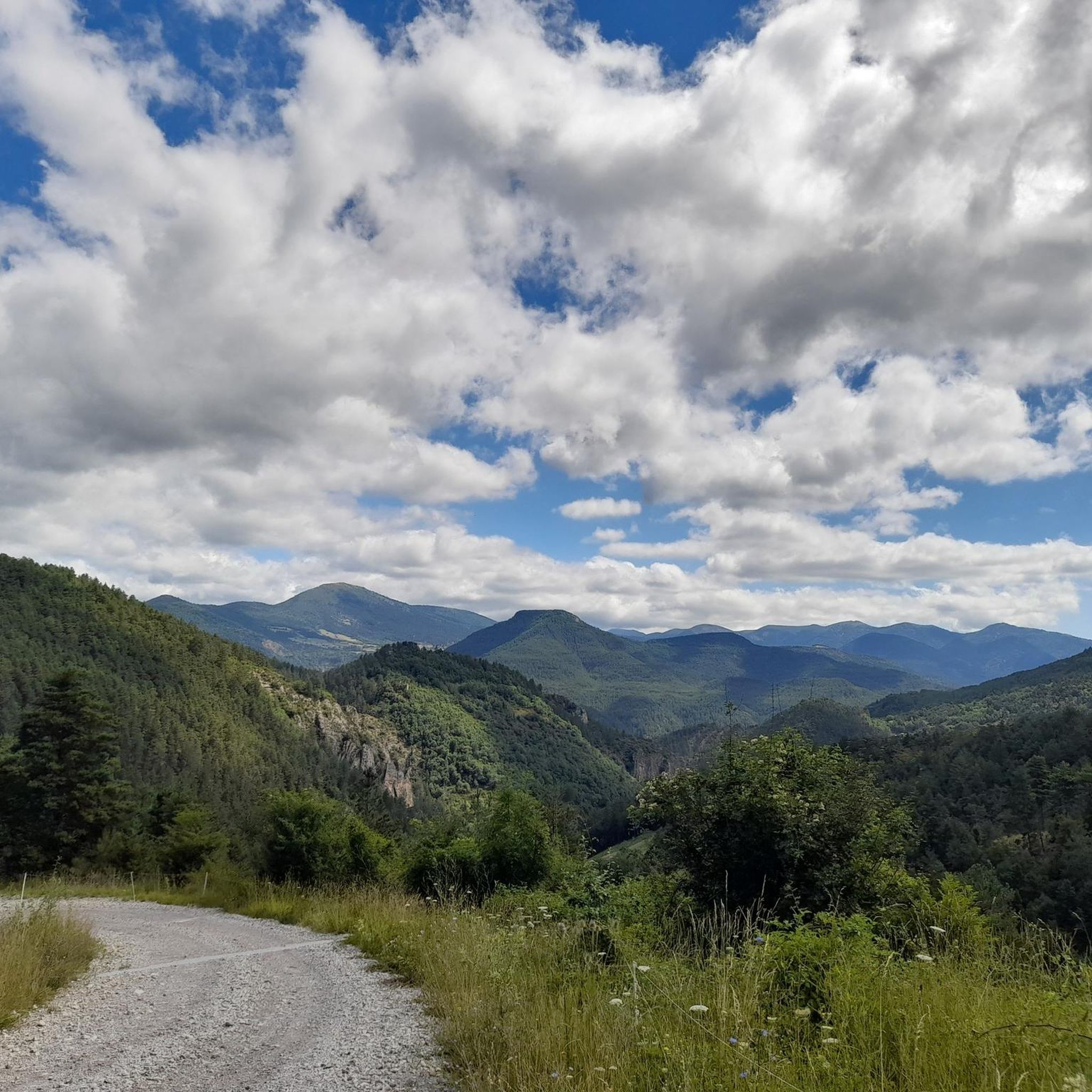
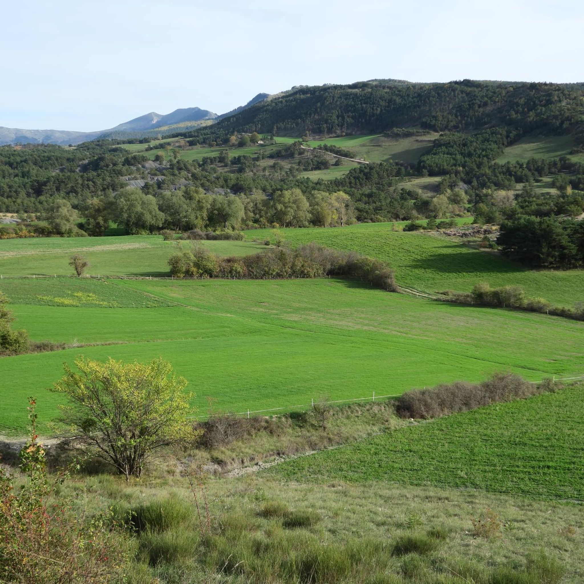
コミュニティからのヒント

あまりきつくない上り坂。アスファルトの状態は非常に良好です。
5
0
コル・ド・ポメロールは、オートアルプ地域にある上り坂です。長さは6.6km、標高差は371m、平均勾配は5.6%です。
3
0
コル・ド・カブルは、フランス南東部、ドローム県とアルプ・ド・オート=プロヴァンス県の間、オーヴェルニュ=ローヌ=アルプ地域圏とプロヴァンス=アルプ=コート・ダジュール地域圏に位置する峠です。
18
0
Colle di Cabreは、標高1,180メートルのアルプス峠で、フランスのドローム県とオート=アルプ県境に位置し、オーヴェルニュ=ローヌ=アルプ地域圏にあります。西のディオワ渓谷と東のビュエシュ渓谷を結び、南フランスアルプス間の主要な峠の一つとなっています。
12
0

One of the most beautiful roads in the region.
0
0

To reach the pass, it takes around fifteen kilometers from the Oule valley. The slope becomes steeper from Montmorin where it is around 6%. The road winds between the mountains of Chauvet and Maraysse. The position offers a splendid view of these two mountains.
1
0
From Valdrôme, the Col de Rossas has 6.4 kilometers of ascent between 6.5 and 7%. It is located at an altitude of 1,115 meters in the Diois massif. The road is rather calm and it is not uncommon to come across sheep and goats in the surrounding pastures. In short, you are in a quiet corner. The place offers a superb view of the plateau where you have just climbed.
2
0

Small road pass on the D61 between Luc en Diois and La Charce. Between Drometal and Ouletal. Relatively little traffic, but due to the road closure in Bellegarde en Diois, until the beginning of July.
2
0
サンディジエアンディオワでのの人気観光スポット

komootモバイルアプリでインスピレーションを得よう


さらに探索
これらのガイドでさらに壮大な山道を見てみましょうサンディジエアンディオワでの:
