ヴィルタース=ヴァングス周辺のアトラクション&必見スポット - トップ20
ヴィルタース=ヴァングスには必見のスポットがたくさんあります。ハイキング愛好家やサイクリング愛好家の方は、ぜひヴィルタース=ヴァングスを探索してこのエリアにある20
の隠れたスポットを訪れてみてください。このエリアの必見スポットを確認し、次の冒険に出かける計画を立てましょう。
最終更新日: 10月 9, 2026
タミナ峡谷
ハイライト (セグメント) • 峡谷
Source of our thermal water
The Tamina spring is not only the namesake of our thermal spa, but …
翻訳者 Google •
役立つ情報 は

ライン川自転車道(サルガンス〜ランドクワルト)
ハイライト • サイクリングロード
翻訳者 Google •
役立つ情報 は

今すぐサインアップして、こんな場所を発見しよう
最高のシングルトラック、ピーク、その他のエキサイティングなアウトドアスポットのおすすめを受け取ろう。
ピツァルン山頂と展望スポット
ハイライト • 山頂
The Pizalun is a viewing point with a view of the St. Gallen, Chur Rhine Valley, Prättigau, Bündner Herrschaft, Sarganserland and …
翻訳者 Google •
役立つ情報 は
Wildseeluggen
ハイライト • 湖
WangsからゴンドラとチェアリフトでPizolhütteまで上がり(往復64 CHF)、まずはパノラマ高地ルートを歩き、その後に5-Seen-Wanderungを楽しみました。5-Seen-WanderungはWangserseeへの短い立ち寄りの後、歩きやすいガレ場を登る急な坂道から始まり、魔法のような青い色をしたWildseeの忘れられない景色で締めくくられます。ここが湖のハイライトではありますが、変化に富んだ残りのコースでも、常に新しい息をのむようなパノラマビューと、さらに3つの湖(その中には同じく印象的なSchottenseeも含まれます)があり、山を愛する人々の心を十分に満たしてくれます。
絶対におすすめです。可能であれば平日に訪れることをお勧めします。
翻訳を表示中
役立つ情報 は


無料アカウントで今日から始めよう
次の冒険が待っています。
ヴィルタース=ヴァングス周辺で人気
Summer in Eastern Switzerland – 10 hikes in Heidiland

Blue lakes, wide panoramas & autumnal splendour – hiking in Heidiland
Pure Swiss mountain idyll – hikes in Heidiland
ヴィルタース=ヴァングスでのハイキング
ヴィルタース=ヴァングスでのサイクリング
ヴィルタース=ヴァングスのロードバイクルート
ヴィルタース=ヴァングスのMTBトレイル
ヴィルタース=ヴァングスのランニングコース
ヴィルタース=ヴァングスでののグラベルライド
ヴィルタース=ヴァングスでの登山&山歩き

コミュニティからのヒント

Tamina Gorge near Old Bad Pfäfers - 36.5°C, 8,000 liters per minute. Source of our thermal water The Tamina spring is not only the namesake of our thermal spa, but also the source of our healing spring water. Europe's most abundant thermal spring rises in the Tamina Gorge near Bad Ragaz and was discovered in the early Middle Ages (in 1242). Mysterious Tamina Gorge In the Tamina Gorge between Valens and the hamlet of Bonadivis, the water of the Tamina River carves its way up to 200 meters into the earth. The narrow rock crevice of the Tamina Gorge is approximately 750 meters long and 70 meters deep. Near Old Bad Pfäfers, the gorge widens, and a road now connects Old Bad Pfäfers with the town of Bad Ragaz. Deep within the mystical Tamina Gorge beats its heart: the inexhaustible spring from which healing, body-temperature thermal water has bubbled for centuries. Among others, the physician and alchemist Paracelsus praised the healing properties of the spring water in the 16th century, which is considered an acratotherm due to its low mineral content and temperature of 36.5°C. Text / Source: TAMINA THERME AG, Hans Albrecht-Strasse, Bad Ragaz https://www.taminatherme.ch/thermalwasserwelt/taminaschlucht-thermalwasser
15
0

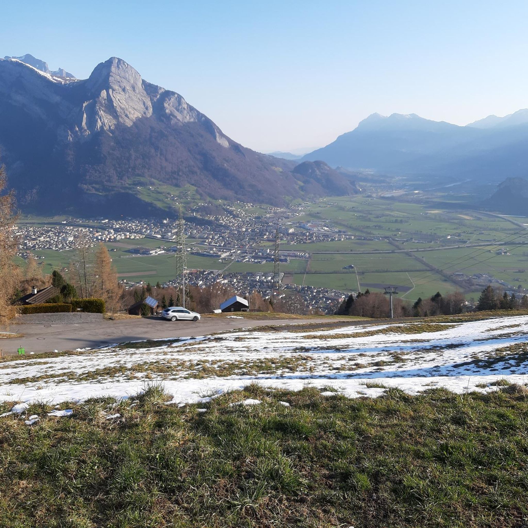
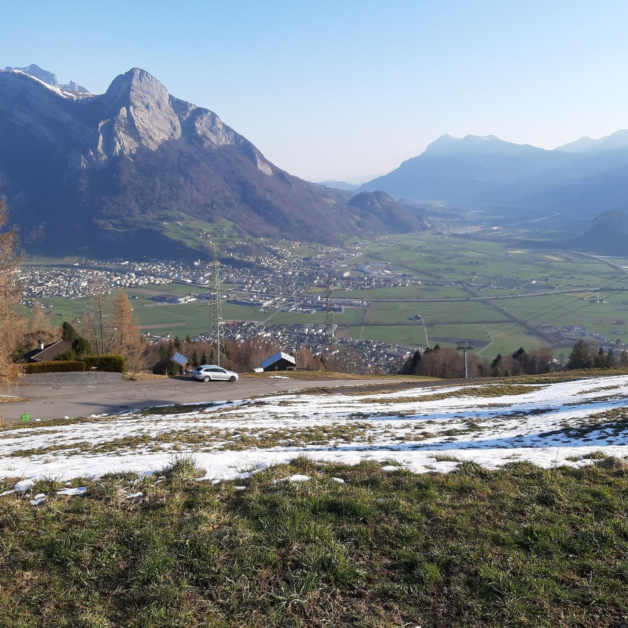
Just go to the Rhine dam and enjoy the wonderful panorama. Impressive.
2
0
Pizalun 1478 m above sea level (SG / GR) The Pizalun is a viewing point with a view of the St. Gallen, Chur Rhine Valley, Prättigau, Bündner Herrschaft, Sarganserland and the Principality of Liechtenstein FL. Cantonal border between SG and GR. The viewing platform, which can be reached via a steep steel staircase.
12
0

For me the most beautiful of the five lakes 😎
7
0
Great lake with beautiful mountain scenery
7
1

A dream view of the mountains and it rolls great here.
3
0

Here, where the sky is reflected in the calm water, you can experience the magic of nature in its purest form. If you want, you can climb on the large, flat rock that is on the left before the descent to the lake and enjoy the most beautiful view the hiking trail has to offer.
4
0

The thermal water that rises in the Tamina Gorge is routed to the Grand Resort in Bad Ragaz.
4
2

komootモバイルアプリでインスピレーションを得よう


さらに探索
まだ探しているハイライトが見つかりませんか?他の地域のトップアトラクションのガイドを見てみましょう:
