カサベルメハの峠・トップ7
風景を楽しんだり、上りや下りを満喫したり、峠には楽しみ方がたくさんあります。カサベルメハの素晴らしい峠の一覧を参照して、思い出に残るアドベンチャーに出かけましょう。コミュニティのメンバーがコミュニティのために投稿した峠のハイライトは、他のユーザーが実際におすすめする情報なので、どれも信頼できるものです。気に入った峠にさっそく向かってみましょう。
最終更新日: 10月 18, 2026
マラガからプエルト・デル・レオンへの登り
ハイライト (セグメント) • 登山
翻訳者 Google •
役立つ情報 は

プエルト・デ・ラ・ボリーナ
ハイライト • 山道
翻訳者 Google •
役立つ情報 は
今すぐサインアップして、こんな場所を発見しよう
最高のシングルトラック、ピーク、その他のエキサイティングなアウトドアスポットのおすすめを受け取ろう。
プエルト・デル・レオンの下り坂
ハイライト (セグメント) • 展望台
翻訳者 Google •
役立つ情報 は
⭐ プエルト・デ・エル・ハラル
ハイライト • 山道
翻訳者 Google •
役立つ情報 は

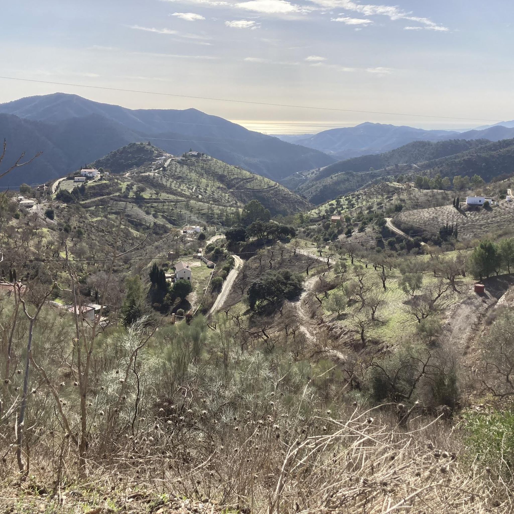
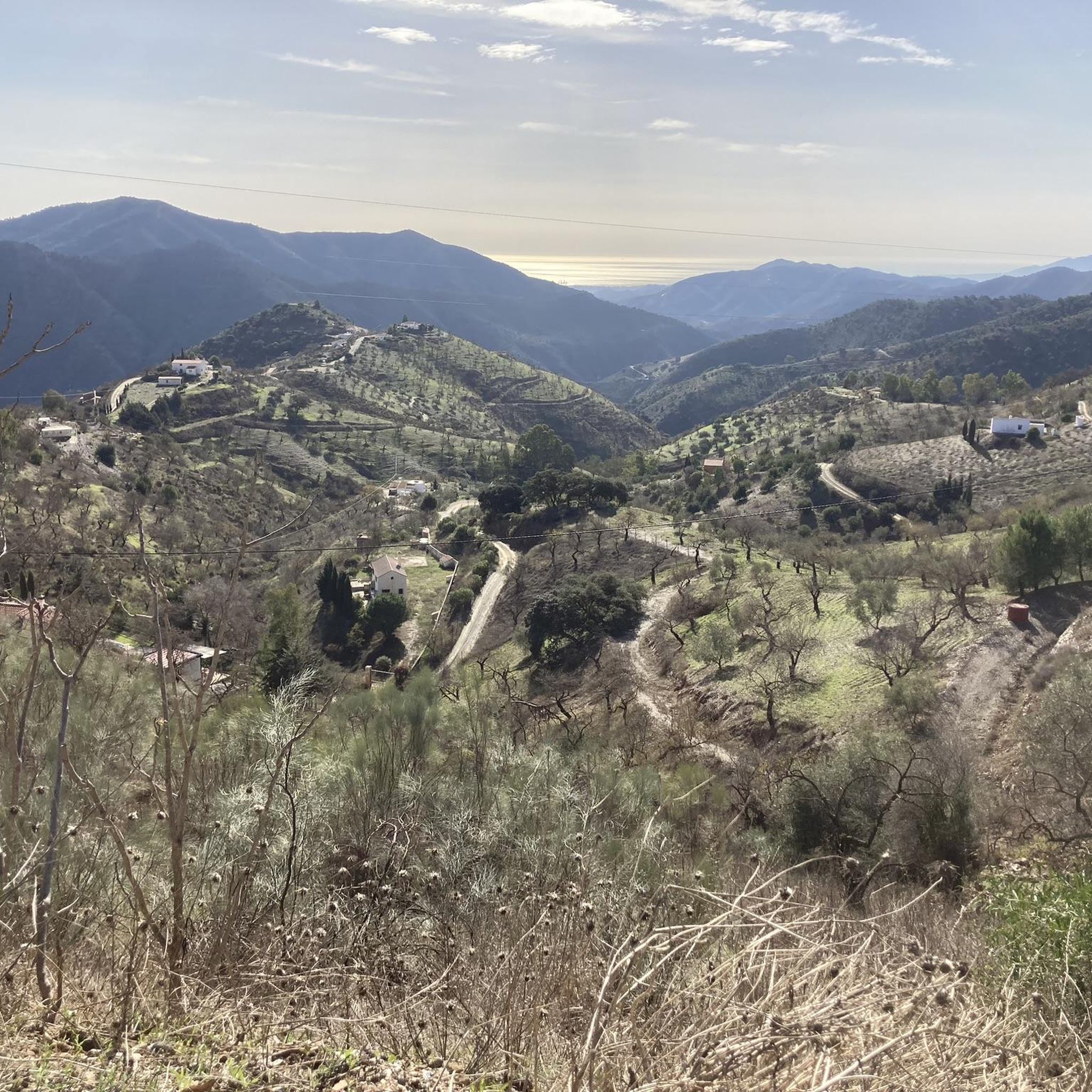
Fuente ReinaとOlíasの間に広がる山々の眺め
ハイライト (セグメント) • 展望台
翻訳者 Google •
役立つ情報 は

無料アカウントで今日から始めよう
次の冒険が待っています。

コミュニティからのヒント

Puerto de El Jaral is not only a geographical crossing, but also a quiet viewpoint where the tranquility of nature and the wide view over the Mediterranean landscape combine – a characteristic destination for cyclists and nature lovers alike.
4
0

A point, a crossroads, with good views.
0
0


A crossroads with good views, a landmark
0
0

The section between Fuente Reina and the mountain village of Olías offers many wonderful views of the mountains with changing perspectives of the hinterland and the sea - wonderful.
0
0

Long but steady climb from Malaga city centre, very nice views from over the city and Med.
2
0

One of the HCs around Malaga's mountains, allegedly the most famous one, due to its closeness to the Costa del Sol's city. The climb kicks-off right in the middle of the city center, leaving the town through its nord-east gates, and getting right into the Montes de Malaga natural reserve. The climb is stunning: at times shaded by the trees (not something you can take for granted in the region!), offers stunning views of Malaga and its mountains. The gradient is pretty uneven: after an initial steep section getting out of Malaga, the climb eases its bite, and the central section alternate easier sectors (3-4%) to steeper ones (up to 14%!); there's even some short downhill stretches that will get your legs to recover just long enough to tackle the next section! Arrived to the last 5km, it gets more aggressive: consistently hovering around 8-10%, it leads you past Fuente de La Reina and summit just a few hundreds meters later. Might be a good idea to turn around and ride back to that cafe to refill and recover!
1
1
カサベルメハでのの人気観光スポット

komootモバイルアプリでインスピレーションを得よう


