モンカダの天然記念物・トップ20
モンカダが誇る美しい風景を見てみたいなら、モンカダの素晴らしい天然記念物・トップ20
に行ってみましょう。あなたにぴったりの場所が見つかるよう、素晴らしい天然記念物を探索するために必要なすべての情報を集めました。次のアウトドアの冒険に出かける計画の参考にしましょう。
最終更新日: 10月 5, 2026
モラ・デ・セガルト
ハイライト • 山頂
翻訳者 Google •
役立つ情報 は

エル・ピ・デル・サルト
ハイライト • 自然記念物
翻訳者 Google •
役立つ情報 は

今すぐサインアップして、こんな場所を発見しよう
最高のシングルトラック、ピーク、その他のエキサイティングなアウトドアスポットのおすすめを受け取ろう。
トゥリア川の堰
ハイライト • 川
翻訳者 Google •
役立つ情報 は

ラ・バジェサ貯水池
ハイライト • 湖
翻訳者 Google •
役立つ情報 は
クルス・デル・モンテ・ピカイオ展望台
ハイライト • 展望台
Double-check the road you are planning to use to get in, security doesn't let everyone in.
役立つ情報 は

無料でサインアップして、さらに多くの自然記念物を発見しましょう モンカダでの。
すでにアカウントをお持ちですか?
無料アカウントで今日から始めよう
次の冒険が待っています。
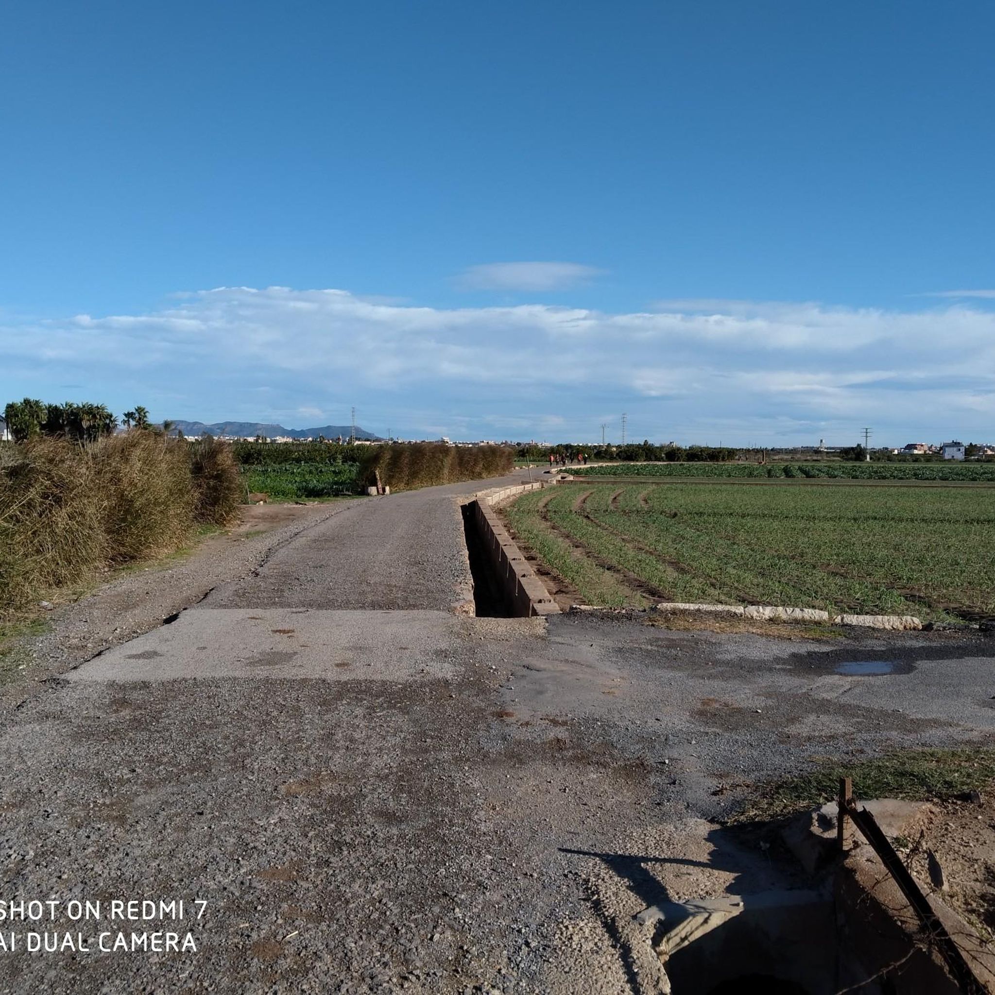
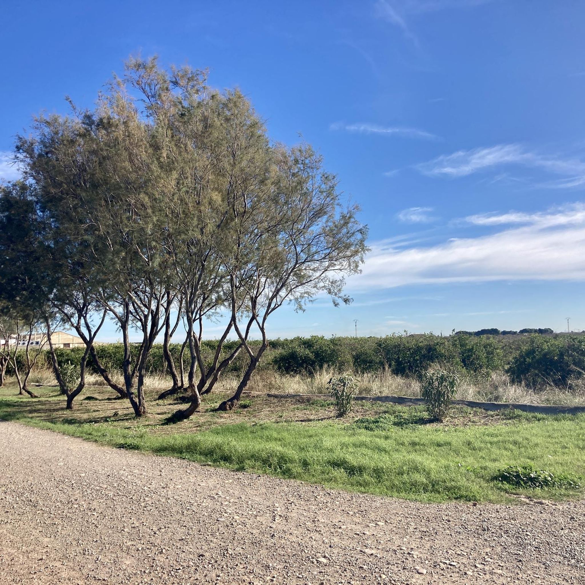
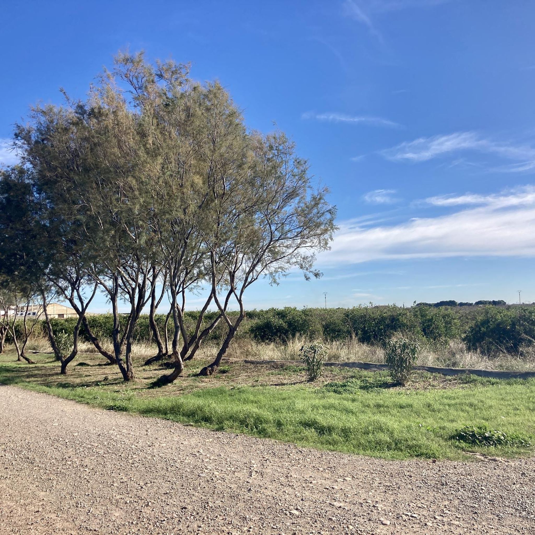
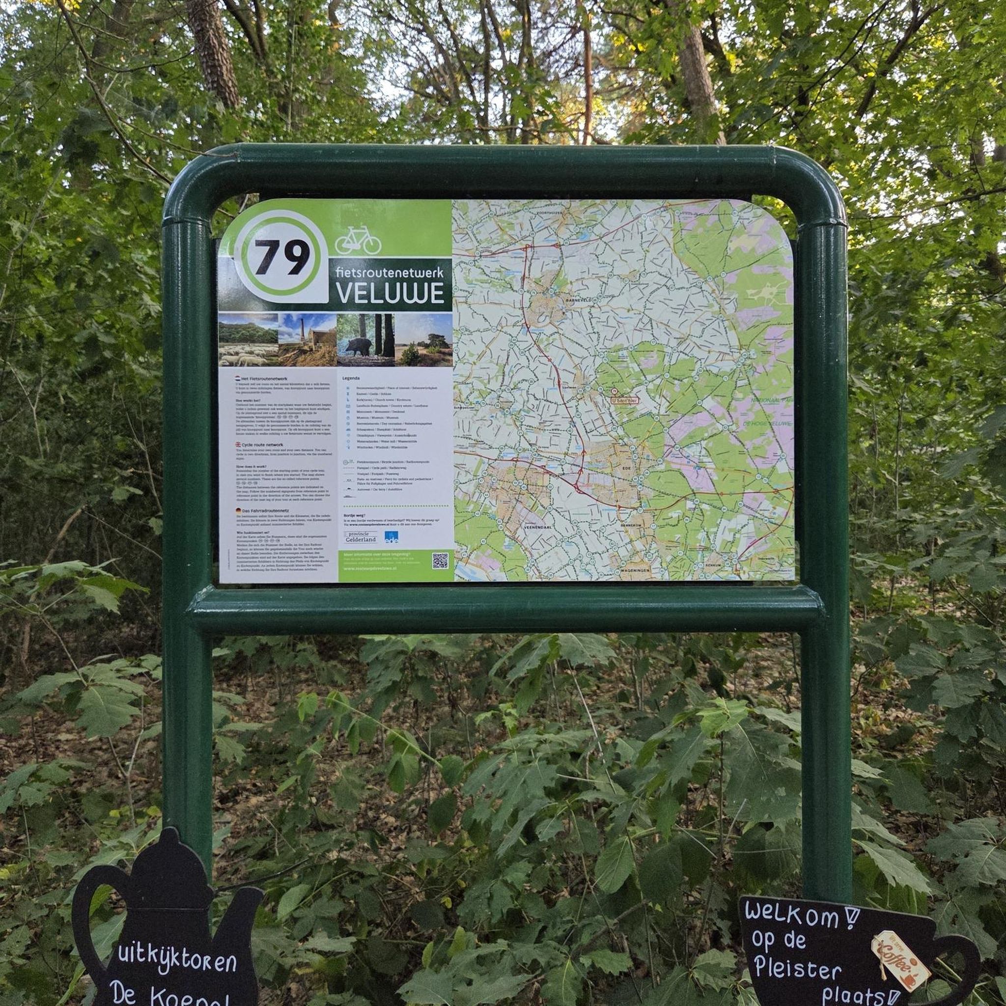
コミュニティからのヒント

The Mirador de la Cruz del Monte Picaio viewpoint is located in the Sierra Calderona Natural Park, near Puçol (Valencia), and is one of the most spectacular natural viewpoints in the area. Altitude: 359-373 m above sea level. How to get there: Usually starting from the Los Monasterios residential area (Puçol) or from the Sanctuary of the Miraculous Virgin. Circular route of approximately 7.5 km, with a positive elevation gain of 300 m and a moderate difficulty level.
1
0

Great route - relaxed even for beginners :)
0
1

Below the town of Sant Antoni de Benaixeve and before touching the waters of the Túria there is a small recreational forest called Vallesa, at the end, we find this reservoir that collects its waters.
0
0

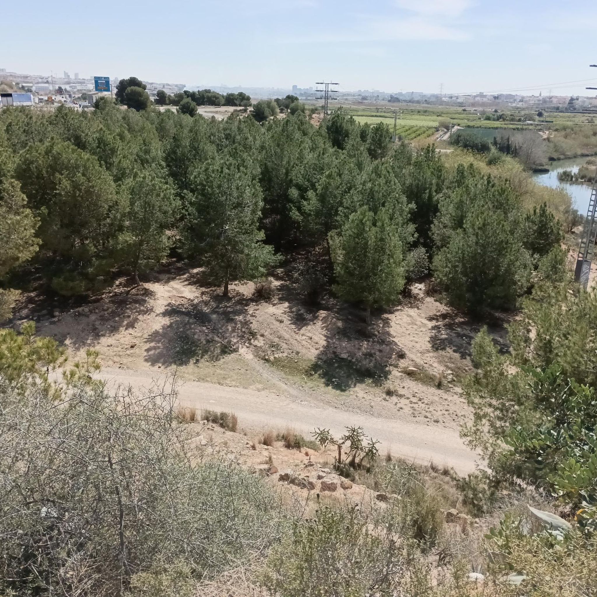
The vegetation and landscapes within the channel are more typical of northern Spain than the Mediterranean. Nobody would say that we are close to the capital
2
0

At the Tender hill appears the Camí de la Mola dirt track that goes up to the left from Segart and continues to the right surrounding the mountain. The route continues straight along a path that begins on the slope of the forest track and ascends directly up the side of the mountain to the summit of Mola de Segart (565 m). The geodesic vertex is on the eastern summit, on the western summit there is a stone marker and both have extraordinary views. The descent continues along a fairly vertical channel between the two summits. The first ten meters are aerial and dangerous, you have to get the steps right, then continue down the side of the mountain without complications, the path is very clear and frequented. The trail ends at the Mola hill and the route continues along the forest track of the Camí de Segart a Sant Espirit.
2
0


The lake belongs to the La Vallesa forest. Part of this area is publicly accessible thanks to an agreement between the owner and the Paterna City Council, but unfortunately, the lake is in the part that continues to have restricted access.
2
0
モンカダでのの人気観光スポット

komootモバイルアプリでインスピレーションを得よう


さらに探索
これらのガイドで、最高の洞窟を探す範囲を広げましょうモンカダでの:
