カラフェルの天然記念物・トップ5
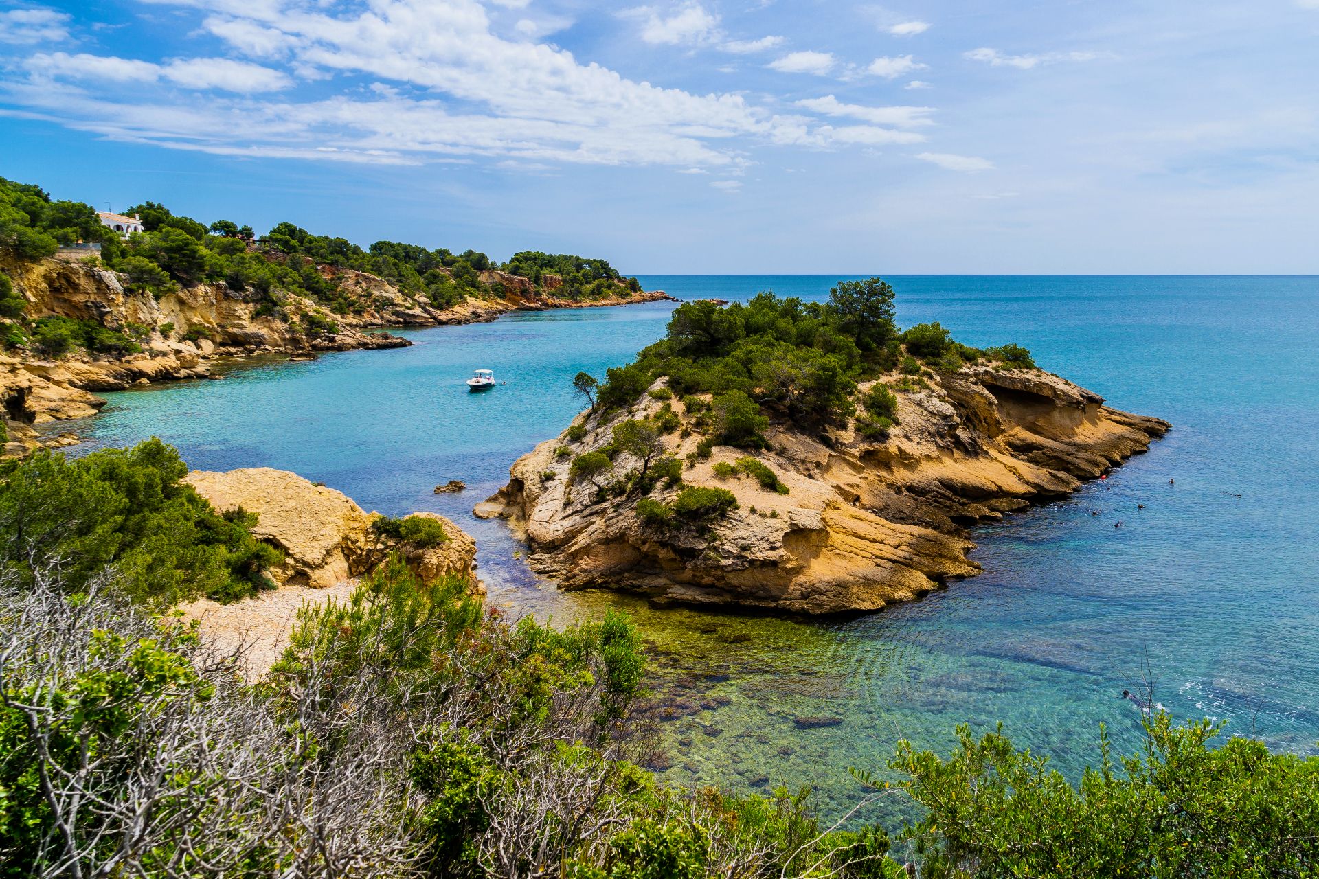
カラフェル周辺の最高の自然記念物には、海岸砂丘システム、重要な自然公園、地質学的景観が含まれます。カタルーニャのコスタ・ドラダに位置するこの自治体は、ダイナミックな砂丘システムや湿地帯から山頂や貯水池に至るまで、多様な自然遺産を特徴としています。この地域は、石灰岩の洞窟や高い展望台を含む多様な地形を提供し、アウトドア探検の機会を提供しています。これらの地域は、その生態学的、景観的、歴史的重要性で認識されています。
カラフェル周辺の最高の自然記念物
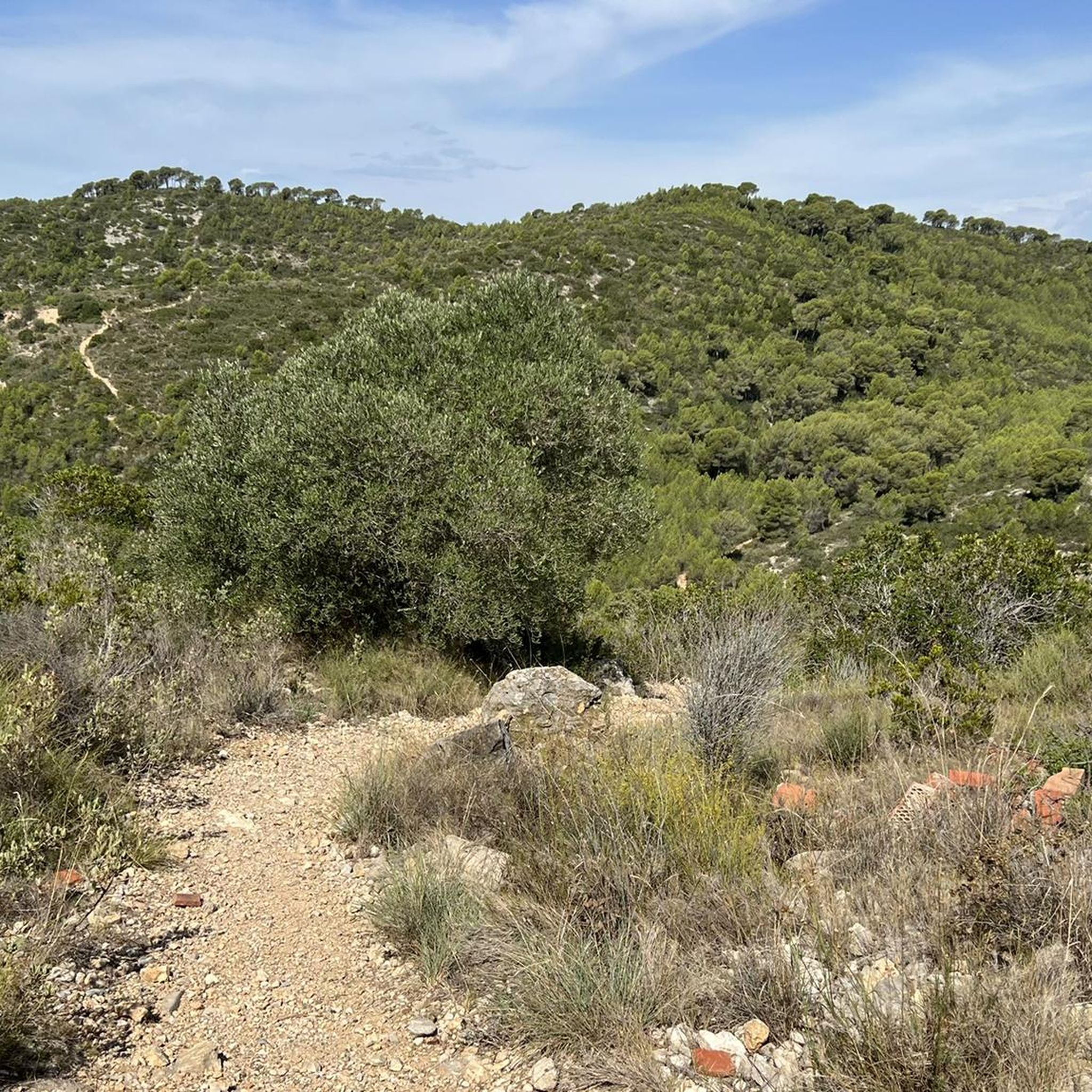
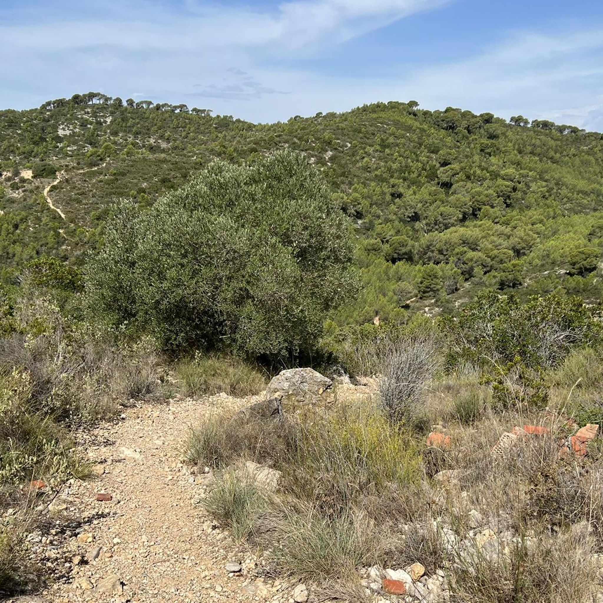
- 最も人気のある自然記念物は、標高464メートルの山頂であるPuig de l'Àligaです。この山頂からは、コスタ・ドラダ、バイシュ・ペネデス、モンメルの山脈の360度のパノラマビューが楽しめます。
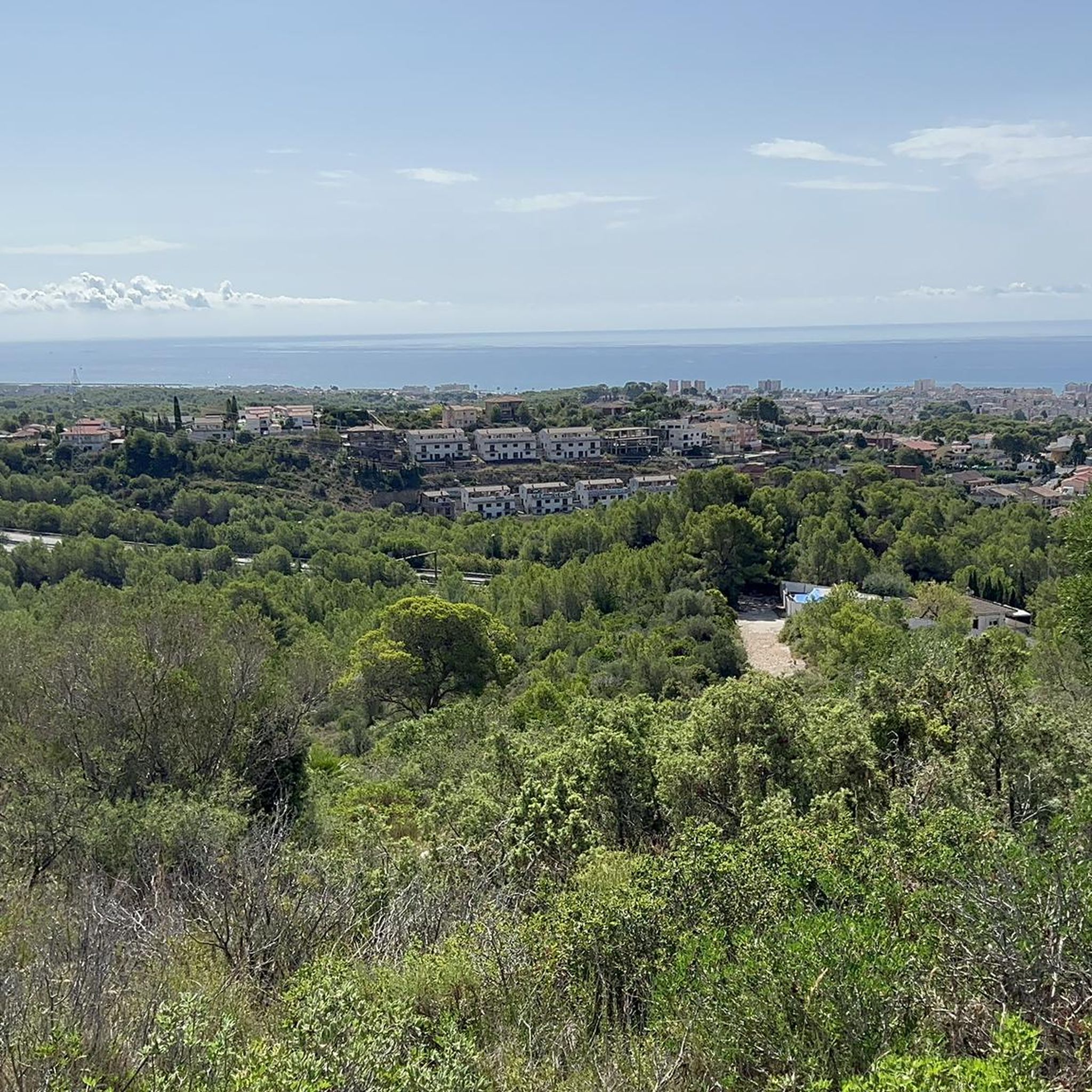
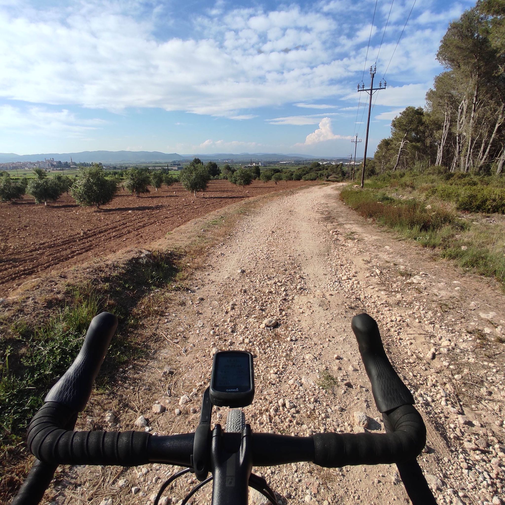
- もう一つの必見スポットは、ガラフ山塊に位置する標高234メートルの山、Fita dels Tres Termesです。ヴィラノヴァ・イ・ラ・ジェルトルと海を見渡せ、3つの自治体の境界が交差する地点を示しています。
- 訪問者はまた、フォイ川がクニットを通過する際に小さなデルタを形成するFoix River Mouthを気に入っています。この自然化された空間は、真水と地中海の海水が混ざり合っています。
- カラフェルは、貯水池、山頂、河口を含む多様な自然の特徴で知られています。この地域は、湿地帯から高い展望台まで、さまざまな自然記念物を提供しています。
- カラフェル周辺の自然記念物はkomootコミュニティに高く評価されており、訪問者によって共有された80件の「いいね」と36枚の写真があります。
最終更新日: 8月 25, 2026
プイグ・デ・ラリガ
ハイライト • 山頂
翻訳者 Google •
役立つ情報 は

フォイクス川の河口
ハイライト • 川
翻訳者 Google •
役立つ情報 は

今すぐサインアップして、こんな場所を発見しよう
最高のシングルトラック、ピーク、その他のエキサイティングなアウトドアスポットのおすすめを受け取ろう。
無料新規登録
Fita dels Tres Termes
ハイライト • 山頂
翻訳者 Google •
役立つ情報 は

コマルガのテルメスの小川
ハイライト • 川
翻訳者 Google •
役立つ情報 は

バッサ・グランの泉と洗い場
ハイライト • 構造物
翻訳者 Google •
役立つ情報 は

無料アカウントで今日から始めよう
次の冒険が待っています。
ログインまたは登録



コミュニティからのヒント

Beautiful hike and a great view of Vilanova i la Geltrú and the sea.
8
0

Unusual thermal water source near the beach, the warm springs are said to have a temperature between 18 and 21 degrees all year round.
0
0


The Puig de l'Àliga, at 464 meters above sea level, is not the highest peak of the Garraf, that honor goes to the Puig de la Mola (534 meters), but it is the highest of the foothills southern parts of the Garraf massif. It forms a natural border between the regions of Alt Penedès and Garraf and is a natural viewpoint of both the Penedès plain and the Garraf coast. At its highest point there is a geodesic vertex, a large cross, and a fire watch tower.
2
0
La Fita dels Tres Termes is a mountain 234 meters high located in the Garraf massif, at the confluence of the municipalities of Vilanova and la Geltrú, Castellet and la Gornal and Cubelles. In its highest part, next to the forest surveillance tower, there is a cairn of mortar, right at the apex of the three municipal boundaries.
5
0

自然再生された川の河口は、小さくてかわいらしい自然保護区であり、特に様々な鳥類にとって重要であるとされています。 以前はここにキャンプ場がありました。
0
0


You can take a bath in the middle of winter surrounded by fish!
0
0
カラフェルでのの人気観光スポット

komootモバイルアプリでインスピレーションを得よう


さらに探索
これらのガイドで、最高の洞窟を探す範囲を広げましょうカラフェルでの:
