ムンガットのバイクパーク・トップ13
ムンガットには思いっきり楽しめるバイクパークがいくつもあります。komootコミュニティのメンバーが投稿したハイライトのコレクションを参考に、素晴らしいバイクパークのトレイルを満喫するアドベンチャーに出かけましょう。クリックするだけでバイクパークのマップと体験者からの情報を確認でき、次の冒険の参考にすることができます。
最終更新日: 10月 18, 2026
トレイル トレント・デ・カバニェス
ハイライト • トレイル
翻訳者 Google •
役立つ情報 は

Camí de Nou Pins
ハイライト • トレイル
翻訳者 Google •
役立つ情報 は
今すぐサインアップして、こんな場所を発見しよう
最高のシングルトラック、ピーク、その他のエキサイティングなアウトドアスポットのおすすめを受け取ろう。
Torrent de le Fontanillera の小道
ハイライト • トレイル
翻訳を表示中
役立つ情報 は

Pla de Reixac
ハイライト • トレイル
翻訳者 Google •
役立つ情報 は
トリアレラ・フォント・デ・ラ・ギネウ
ハイライト • トレイル
翻訳者 Google •
役立つ情報 は
無料でサインアップして、さらに多くのバイクパークを発見しましょう ムンガットでの。
すでにアカウントをお持ちですか?
無料アカウントで今日から始めよう
次の冒険が待っています。

コミュニティからのヒント

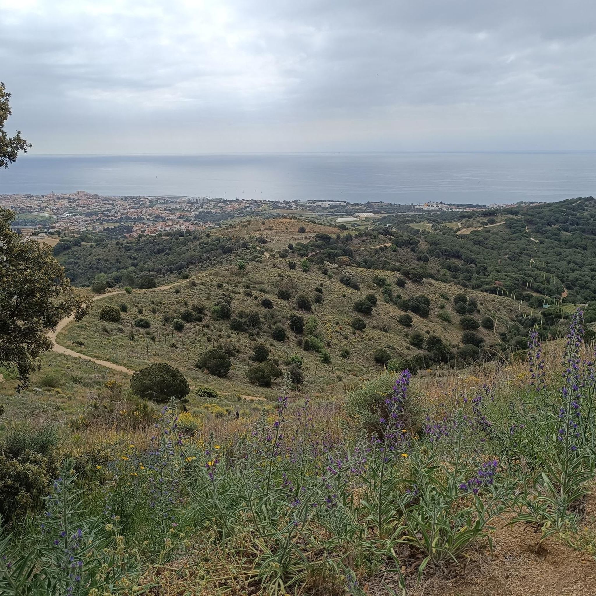
狭くて非常に面白い、木々の間のトレイル。カーブ、根、そしていくつかの緩んだ土のセクションがあります。テクニカルなセクションや、アップダウンがいくつかあります。スピードをコントロールした方が良いでしょう。ほとんどの部分は日陰ですが、良い景色が見える開けた場所もいくつかあります。下りは非常に楽しいです。
0
0

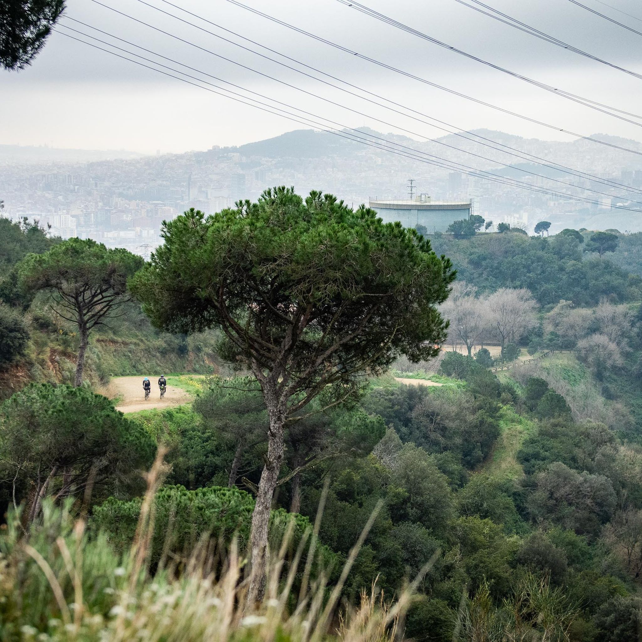
Strategic point of the GR-92 that allows different alternatives to our MTB routes: go up to Turó d'en Galzeran along a fun winding path, go down to Tiana along the Camí de Nou Pins track, and for the most daring, go down the trails/ 'Canada' and 'Padme Line' corriols of Red level and great difficulty.
13
0
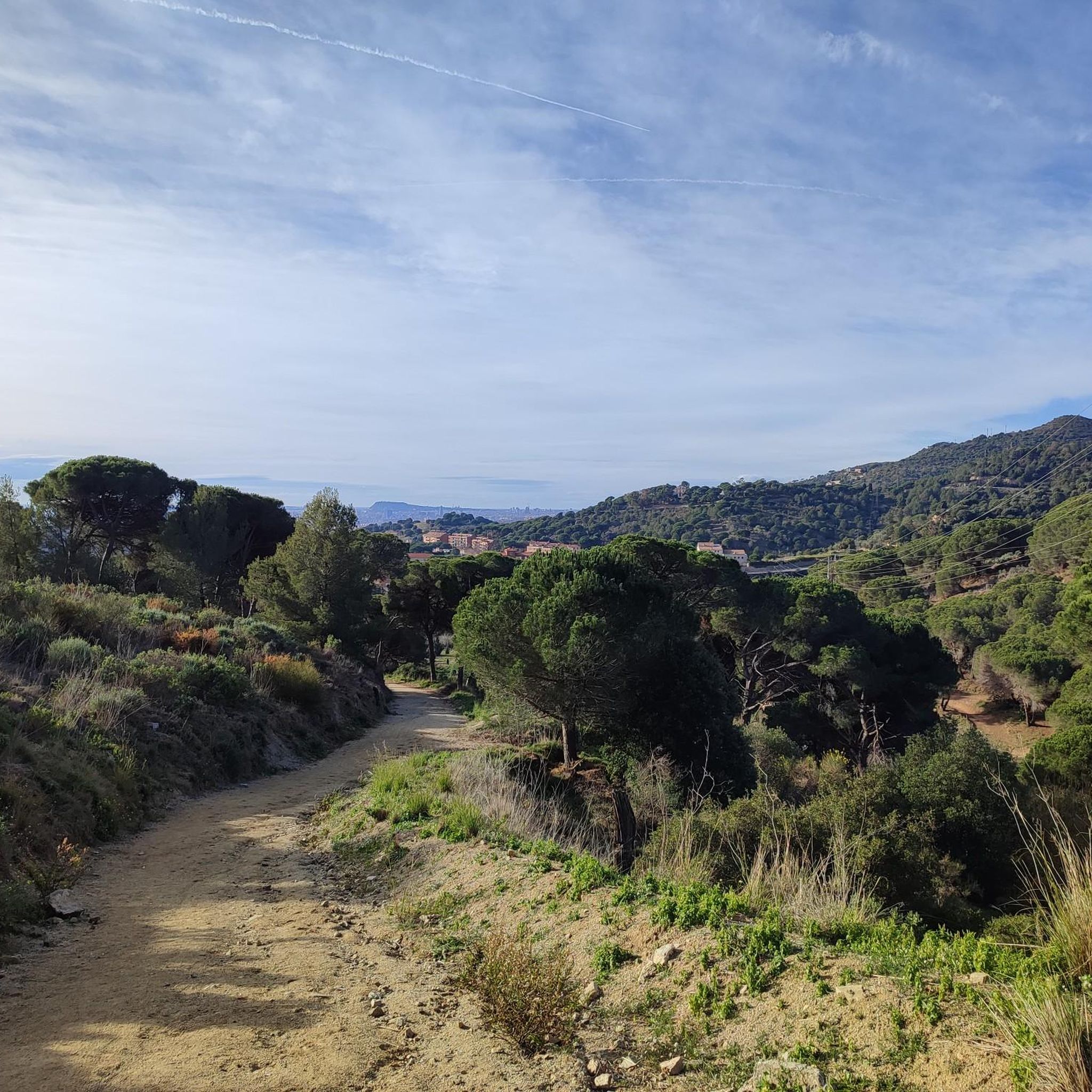
Very extensive area of land with little unevenness, located between the municipalities of Montcada i Reixac, Ripollet and La Llagosta. It is a perfect space for walking and cycling along its countless easy trails and for having interesting areas to practice different MTB techniques.
21
0
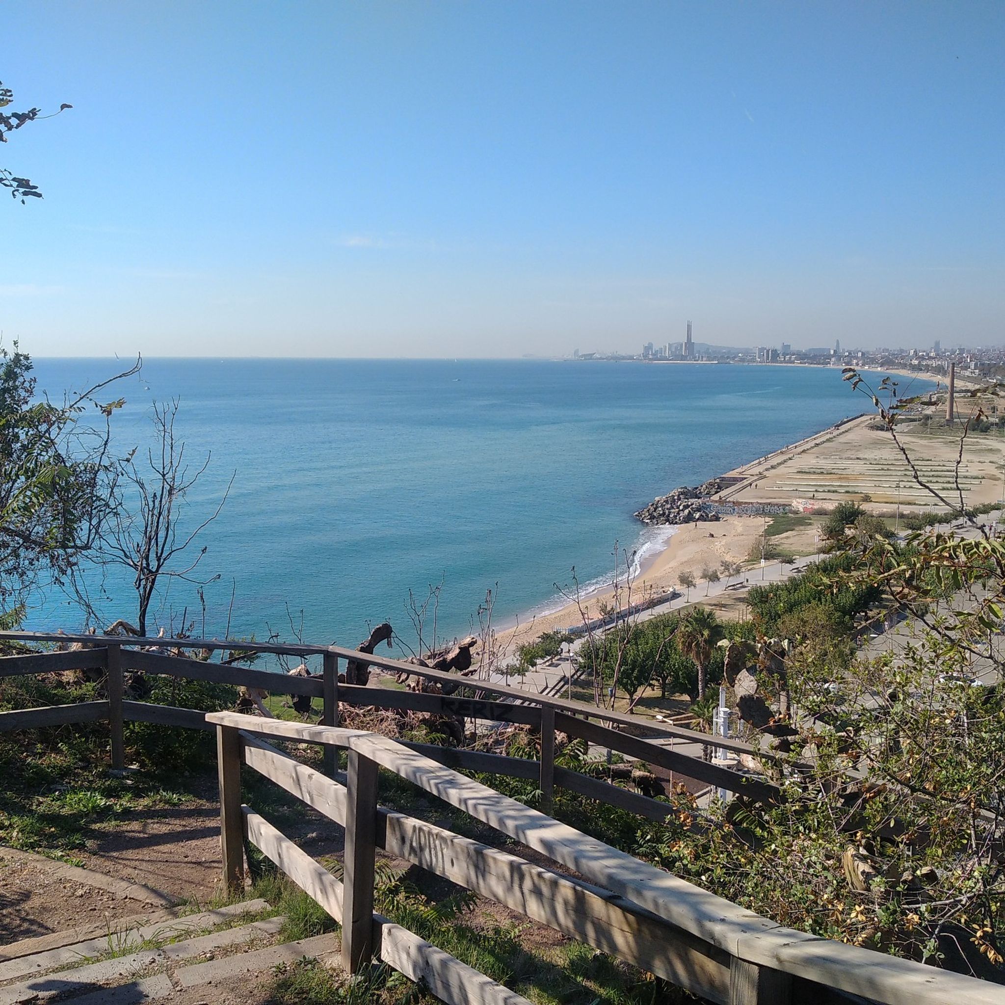
Medium level S2 or Blue trialera. About 100 meters from the start, the path is a little broken and against a bank towards a small ravine, so you have to go through it with great care. Then there is a very sharp curve to the right that is slightly inclined and with dry ground. From that curve there is an incline of almost 25% and it is also very dry but you can go down straight to the end of the track, near the Sant Cebrià de Cabanyes hermitage. In general it is fine and it is perfectly cyclable, but to lower it more comfortably it would be necessary to do some cleaning of vegetation.
23
0
Mid-level All Mountain downhill S2 or Blue according to Trailforks. It is 1.3 km long. Its layout and terrain allow for good speed. It has two small rock gardens where extreme caution must be taken, one of them a little inclined, but crossing the appropriate line does not present any difficulty.
23
0
ムンガットでのの人気観光スポット

komootモバイルアプリでインスピレーションを得よう


さらに探索
まだ完璧なバイクパークを探していますか?これらの場所のガイドをチェックしましょう:
