ルート

プランナー

機能

アップデート

App

ログインまたはサインアップ

アプリを入手

ログインまたはサインアップ

ルート
Places to see
Mountain passes
スペイン
ムルシア
Suroeste Y Valle Guadalentin

ロルカ

ロルカの峠・トップ10

風景を楽しんだり、上りや下りを満喫したり、峠には楽しみ方がたくさんあります。ロルカの素晴らしい峠の一覧を参照して、思い出に残るアドベンチャーに出かけましょう。コミュニティのメンバーがコミュニティのために投稿した峠のハイライトは、他のユーザーが実際におすすめする情報なので、どれも信頼できるものです。気に入った峠にさっそく向かってみましょう。

最終更新日: 7月 15, 2026

コジャド・ベルメホ

ハイライト • 山道

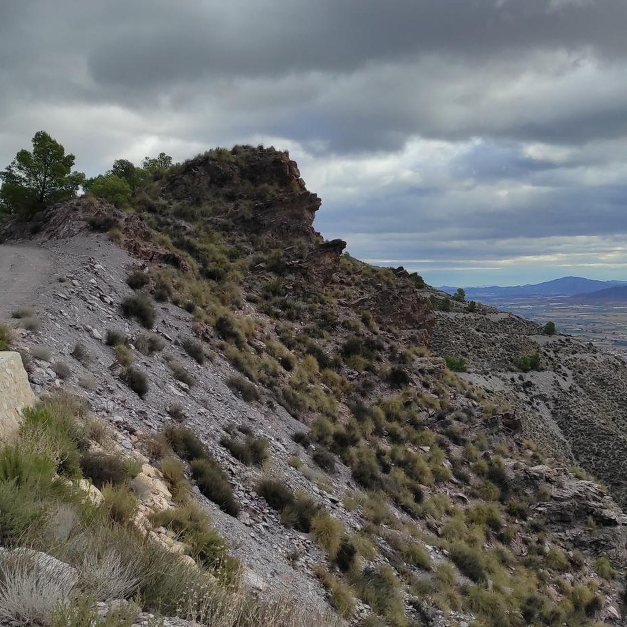
Located in the Sierra Espuña and at an altitude of 1,201 m, we reach the Bermejo pass accompanied by a pine forest during the ascent and where we find a beautiful viewpoint. At this point, a brief false flat is imposed to recover energy and breath and contemplate the panorama and places as beautiful as Umbría de Peña Apartada, Peña Apartada itself, Cerro de la Garita, and of course, the deep and green Valley of the Espuna River. To the north, we find the Morrón de Espuña, and to the west the Barranco de Enmedio, El Purgatorio and the Pedro López hill.

翻訳者 Google •

役立つ情報

によるものです

ここでのライドを見る

スマートフォンに送信

保存

Lomo de Bas

ハイライト (セグメント) • 山道

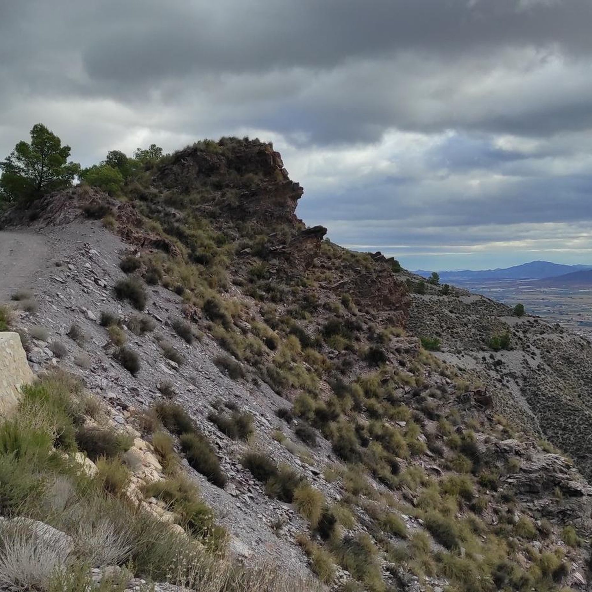
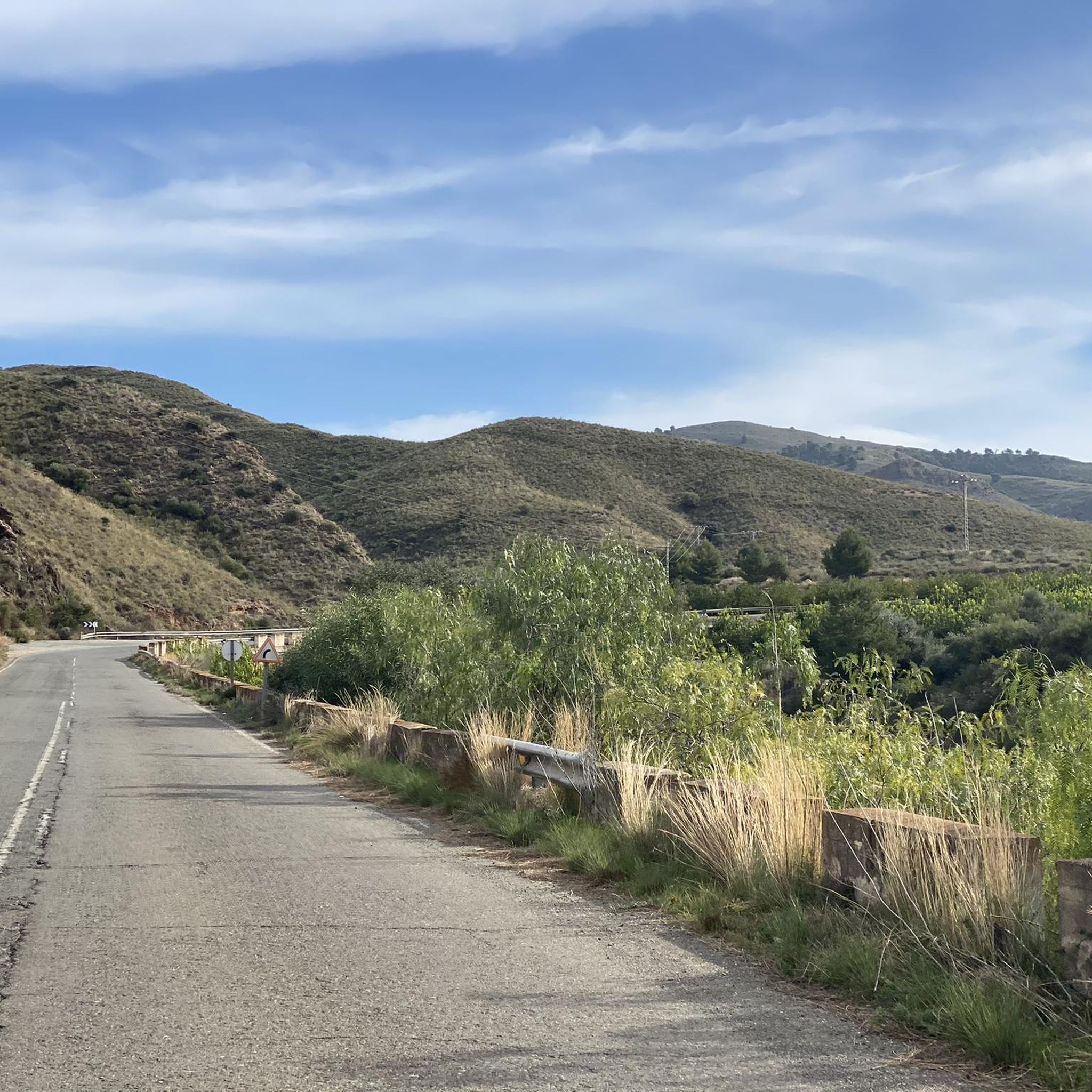
非常に快適な峠で、壮大な景色を楽しみながら、どちらの側面から登っても楽しめる坂道です。勾配は通常5%から7%の間ですが、一部の地点では10%に達します。

アスファルトの状態は、全体的に良好です。それでも、特に速く下る場合は、予期せず穴が現れる可能性があるため、下り坂では細心の注意を払うことをお勧めします。

翻訳を表示中

役立つ情報

によるものです

保存

今すぐサインアップして、こんな場所を発見しよう

最高のシングルトラック、ピーク、その他のエキサイティングなアウトドアスポットのおすすめを受け取ろう。

無料新規登録

Another of the beautiful ports that we find in the Region of Murcia. In this case it is the ascent to Puerto de Crucecicas.

Slope from Aguilas: 13.3km of distance, 474m of unevenness, an average slope of 3.5% and a maximum unevenness of 6.8%.

Slope by MU620: 4.7km of distance, 175 meters of unevenness, 3.6% average slope and 7.2% maximum.

翻訳者 Google •

役立つ情報

によるものです

保存

Located in the Sierra de los Mayorales and at an altitude of 583 metres, this pass marks the end of the hard climb up the Cuesta de Gos. The ascent from the El Pocico restaurant has a drop of 516 meters, a length of almost 8.95 km and an average gradient of 5.77%.

翻訳者 Google •

役立つ情報

によるものです

保存

エスプーニャ北東峠

ハイライト (セグメント) • 山道

Mostly good asphalt, one of the better routes to cross the Sierra Espuna.
Here in the east you drive a lot through the forest and don't see that much of the landscape on the western side.
In the east I shortened this section a bit because there are two good alternatives.
1. To/from RM-515 (direction Alhama de Murcia) to go around the Sierra Espuña or else
2. Head southwest on the service path along the canal towards Totana. The path is flat and you can drive very quickly on the straights. The fun is somewhat hindered by 15 speed bumps and 3 gates.
Towards the north, the service path soon becomes a poor forest path as the canal "disappears" underground there.

翻訳者 Google •

役立つ情報

によるものです

保存

無料でサインアップして、さらに多くの山道を発見しましょう ロルカでの。

無料新規登録

すでにアカウントをお持ちですか?

無料アカウントで今日から始めよう

次の冒険が待っています。

ログインまたは登録

ロルカ周辺で人気

太陽への道のり - 南東スペインへのバイクパッキング

地中海の産業と自然 - ムルシアのGR 92をハイキングしてください

「欧州の果樹園」を通るライド - Transmurciana MTBで

南へ出かけよう - 私と犬とアンダルシアでサイクリングしよう

ロルカのロードバイクルート

ロルカでのハイキング

ロルカでのサイクリング

ロルカのMTBトレイル

ロルカのランニングコース

ロルカでののグラベルライド

ロルカでのの他の冒険

太陽への道のり - 南東スペインへのバイクパッキング

サイクリングのコレクション によって

Tobias

コミュニティからのヒント

Amalia Santiago
7月 15, 2026, Lomo de Bas

非常に快適な峠で、壮大な景色を楽しみながら、どちらの側面から登っても楽しめる坂道です。勾配は通常5%から7%の間ですが、一部の地点では10%に達します。 アスファルトの状態は、全体的に良好です。それでも、特に速く下る場合は、予期せず穴が現れる可能性があるため、下り坂では細心の注意を払うことをお勧めします。

Google翻訳による翻訳

0

0

From the Ricardo Codorniú Visitor Centre, a very long forest track leads up to this mountain pass.

Google翻訳による翻訳

0

0

Summit of the pass through the Enspuña.

Google翻訳による翻訳

0

0

Mostly good asphalt, one of the better routes to cross the Sierra Espuna. Here in the east you drive a lot through the forest and don't see that much of the landscape on the western side. In the east I shortened this section a bit because there are two good alternatives. 1. To/from RM-515 (direction Alhama de Murcia) to go around the Sierra Espuña or else 2. Head southwest on the service path along the canal towards Totana. The path is flat and you can drive very quickly on the straights. The fun is somewhat hindered by 15 speed bumps and 3 gates. Towards the north, the service path soon becomes a poor forest path as the canal "disappears" underground there.

Google翻訳による翻訳

2

0

Another of the beautiful ports that we find in the Region of Murcia. In this case it is the ascent to Puerto de Crucecicas. Slope from Aguilas: 13.3km of distance, 474m of unevenness, an average slope of 3.5% and a maximum unevenness of 6.8%. Slope by MU620: 4.7km of distance, 175 meters of unevenness, 3.6% average slope and 7.2% maximum.

Google翻訳による翻訳

0

0

Located in the Sierra de los Mayorales and at an altitude of 583 metres, this pass marks the end of the hard climb up the Cuesta de Gos. The ascent from the El Pocico restaurant has a drop of 516 meters, a length of almost 8.95 km and an average gradient of 5.77%.

Google翻訳による翻訳

2

0

Aureli
1月 9, 2023, Collado Bermejo

Located in the Sierra Espuña and at an altitude of 1,201 m, we reach the Bermejo pass accompanied by a pine forest during the ascent and where we find a beautiful viewpoint. At this point, a brief false flat is imposed to recover energy and breath and contemplate the panorama and places as beautiful as Umbría de Peña Apartada, Peña Apartada itself, Cerro de la Garita, and of course, the deep and green Valley of the Espuna River. To the north, we find the Morrón de Espuña, and to the west the Barranco de Enmedio, El Purgatorio and the Pedro López hill.

Google翻訳による翻訳

1

1

Hein Mück
1月 1, 2023, Lomo de Bas

Beautiful pass with breathtaking views, which is great to drive from both sides. Maximum 10%m on average more like 5-7%. The asphalt is not bad, but the (rapid) descent can, as is so often the case in Spain, become problematic because the roads are generally good but occasionally have bad potholes.

Google翻訳による翻訳

0

0

ロルカでのの人気ルート

ロルカのロードバイクルート

ロルカでのの人気観光スポット

Places to see

Store rating

komootモバイルアプリでインスピレーションを得よう

無料のkomootアカウントがあれば、無限のアウトドアコースを簡単に見つけてカスタマイズし、ナビで案内できます。

または

今すぐkomootに参加しよう

Store rating

さらに探索

これらのガイドでさらに壮大な山道を見てみましょうロルカでの:

シエラエスプーニャ国立公園シエラエスプーニャアルアマ・デ・ムルシアアギラストタナアレド

近くのアドベンチャーガイド

Suroeste Y Valle Guadalentinでやるべきこと

background

新しいピークを征服する準備をしよう

無料でサインアップ

探検する
ルートルートプランナー機能ハイキングMTBトレイルロードバイクルートバイクパッキングサイトマップ
アプリをダウンロード
SNSでフォローする

© komoot GmbH

プライバシーポリシー