ラトーレの天然記念物・トップ8
ラトーレが誇る美しい風景を見てみたいなら、ラトーレの素晴らしい天然記念物・トップ8
に行ってみましょう。あなたにぴったりの場所が見つかるよう、素晴らしい天然記念物を探索するために必要なすべての情報を集めました。次のアウトドアの冒険に出かける計画の参考にしましょう。
最終更新日: 8月 25, 2026
ピコ・サパテロ
ハイライト • 山頂
翻訳者 Google •
役立つ情報 は

セロッタ
ハイライト • 山頂
翻訳者 Google •
役立つ情報 は

今すぐサインアップして、こんな場所を発見しよう
最高のシングルトラック、ピーク、その他のエキサイティングなアウトドアスポットのおすすめを受け取ろう。
無料新規登録
セロ・デ・ゴリーア
ハイライト • 山頂
翻訳者 Google •
役立つ情報 は
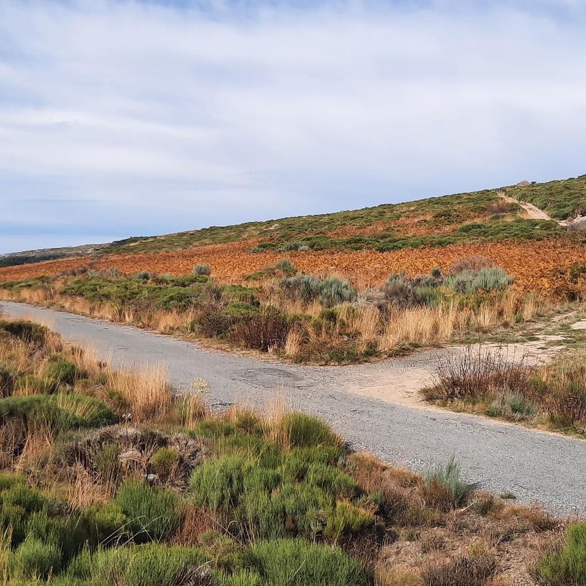
コジャド・デ・ラ・オンダ
ハイライト • 山道
翻訳者 Google •
役立つ情報 は
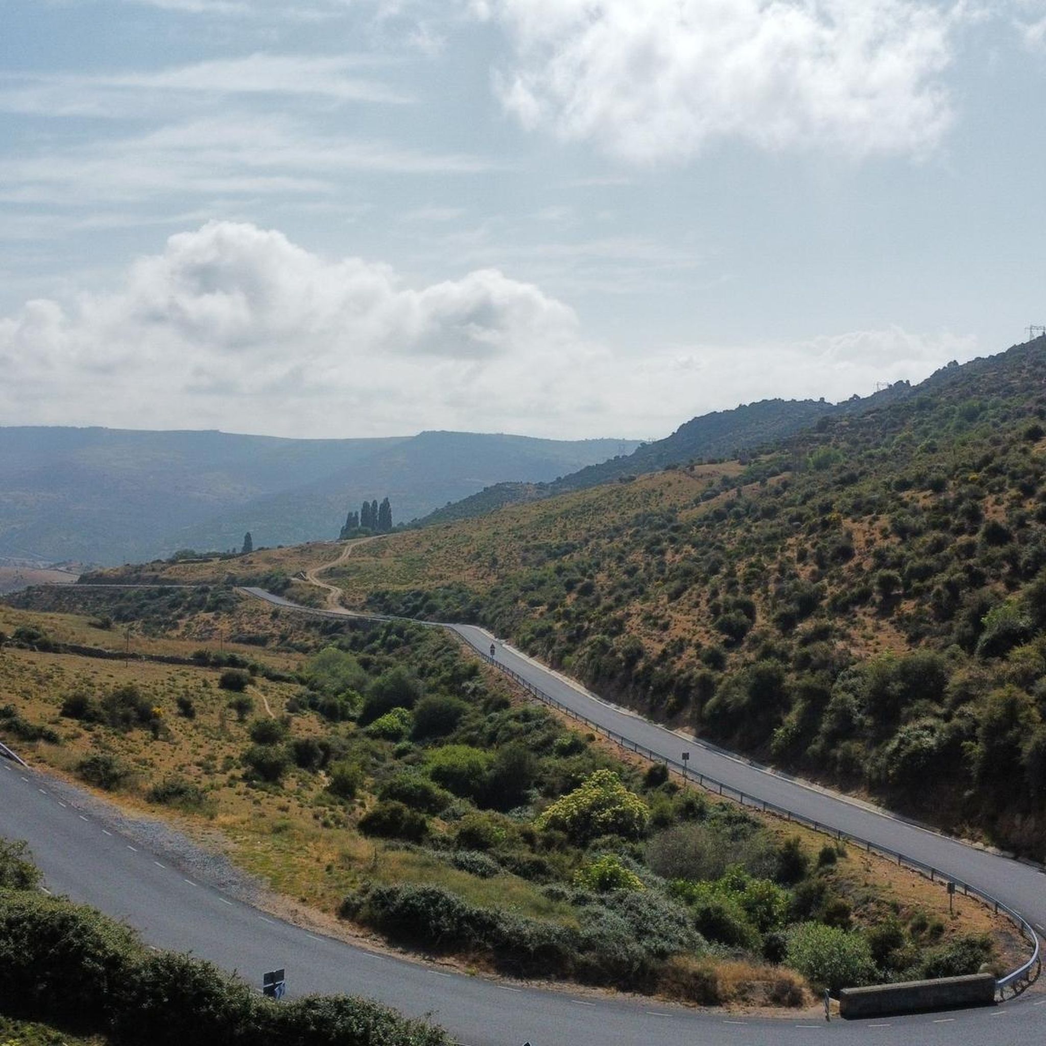
Valdecasaの眺望
ハイライト • 展望台
翻訳者 Google •
役立つ情報 は
無料でサインアップして、さらに多くの自然記念物を発見しましょう ラトーレでの。
無料新規登録
すでにアカウントをお持ちですか?
無料アカウントで今日から始めよう
次の冒険が待っています。
ログインまたは登録

コミュニティからのヒント

Rounded mountain range that is easily accessible from several towns. From the geodesic vertex there are impressive front-row views of the Sierra de la Paramera, La Serrota, the Amblés valley to the south and all of La Moraña to the north.
1
0
From this point you can see the town of Valdecasa where the mountain of El Berrocalejo rises in the background. It is an area of the Central System where batholiths appear, a granitic rock formation that forms stone balls typical of these areas.
1
0
The Collado de la Honda is the final part of an old glacier that ends at this point. The glacier is the result of ancient times when the glacial movements were more southern and this is an example of how in this area of the middle of the Meseta there were.
1
0
The Serrota is a mountain that reaches 2,292 meters in height, which means that you need to watch the time of its ascent, where the snow covers the area completely with low temperatures.
1
0

In the final stretch of the ascent, milestones appear in several places and the best option is to find the optimal path according to the moment, the mountain conditions and personal taste. The geodesic vertex is visible long before you arrive, it is placed on a tower of rocks and the views are extraordinary, practically covering the entire Central System, from the Sierra de Guadarrama to the peaks of Las Batuecas and the distant Sierra de Gata. Below the channels that form the sources of Corneja and Adaja and a little further on is the valley of the highest Alberche, when it is not yet a river in the páramos of San Martín de la Vega del Alberche.
0
0
The unique granite landscape is the result of the mineral composition, climatic changes and the weathering of the rock surfaces, giving rise to suggestive modeling forms. The most striking process is the slabs, the boats, the corridors and alleys and the granular disintegration, creating an authentic labyrinth of stone sculptures. To the west, at the headwaters of the Adaja River, the white reliefs of La Serrota emerge. The path follows the ridge and collides with the top pyramid of Zapatero in a clear hill where the ascent to the top begins on the southwest face. The ascent is marked with stone milestones. The ice and the amount of snow will determine the technical level of the ascent. First there is a rocky step to a wide and comfortable shoulder, where the final attack begins through a channel that leads to the access passage to the geodesic vertex through a kind of tunnel. The views from the top of the remaining section of the rope are breathtaking between large granite domes and giant speedboats, but it is actually easier than the previous section and almost all descent. The descent of the peak is along the east face, to a pass where the Path of Zapatero climbs from the left from Sotalvo.
2
0
ラトーレでのの人気観光スポット

komootモバイルアプリでインスピレーションを得よう


さらに探索
これらのガイドで、最高の洞窟を探す範囲を広げましょうラトーレでの:
