ラグラナダの天然記念物・トップ12
ラグラナダが誇る美しい風景を見てみたいなら、ラグラナダの素晴らしい天然記念物・トップ12
に行ってみましょう。あなたにぴったりの場所が見つかるよう、素晴らしい天然記念物を探索するために必要なすべての情報を集めました。次のアウトドアの冒険に出かける計画の参考にしましょう。
最終更新日: 10月 18, 2026
プイグ・デ・ラリガ
ハイライト • 山頂
翻訳者 Google •
役立つ情報 は

ビロビー・デル・ペネデスのグラン・ペラグ
ハイライト • 湖
翻訳者 Google •
役立つ情報 は

今すぐサインアップして、こんな場所を発見しよう
最高のシングルトラック、ピーク、その他のエキサイティングなアウトドアスポットのおすすめを受け取ろう。
ペーニャ・デル・パピオル
ハイライト • 山頂
翻訳者 Google •
役立つ情報 は

プラ・デルス・アルバッツのネクロポリスと礼拝堂跡
ハイライト • 歴史的な場所
翻訳者 Google •
役立つ情報 は

セルラ・デ・クレスタボクス / トゥロ・デ・レス・メンティデス
ハイライト • 山頂
翻訳者 Google •
役立つ情報 は

無料でサインアップして、さらに多くの自然記念物を発見しましょう ラグラナダでの。
すでにアカウントをお持ちですか?


コミュニティからのヒント


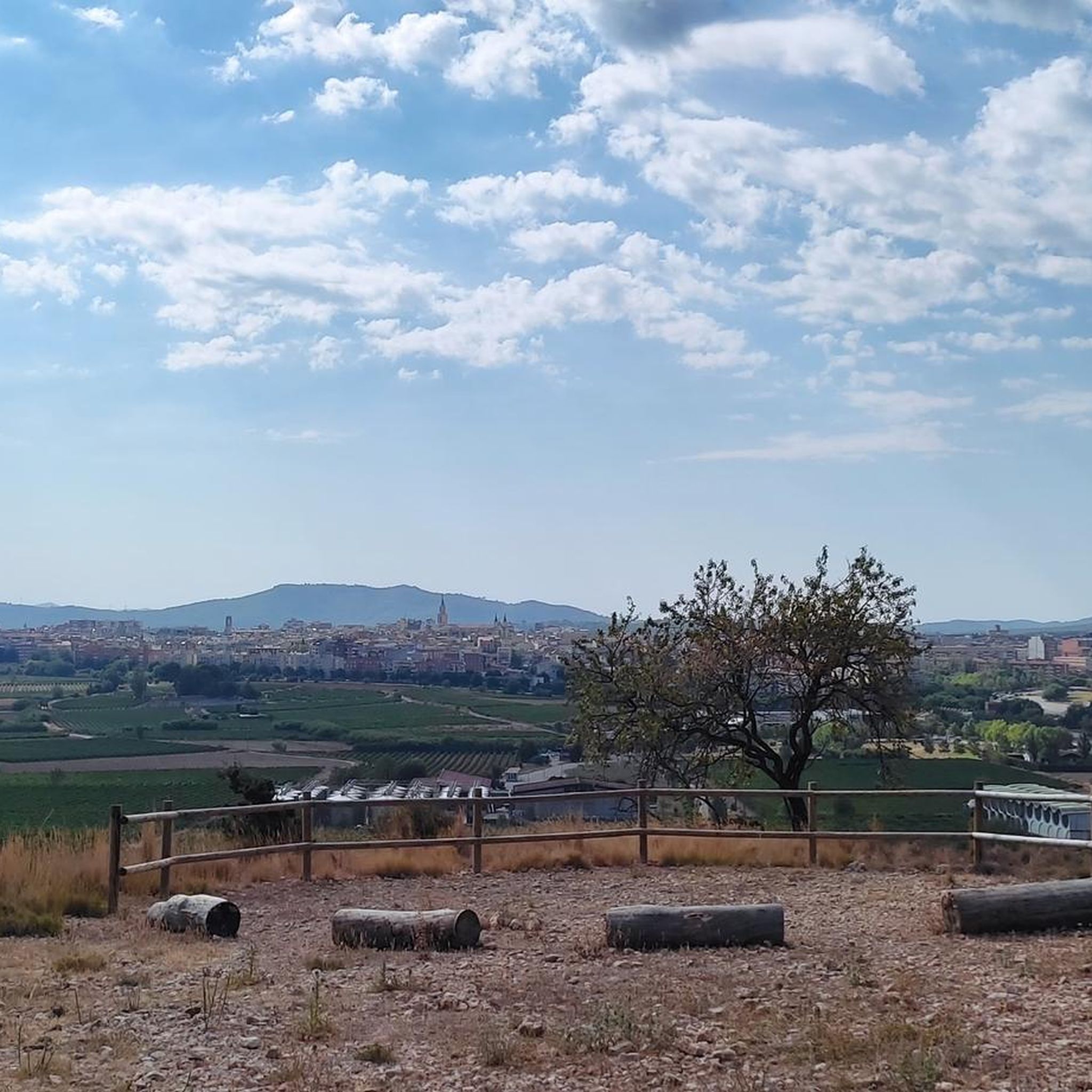
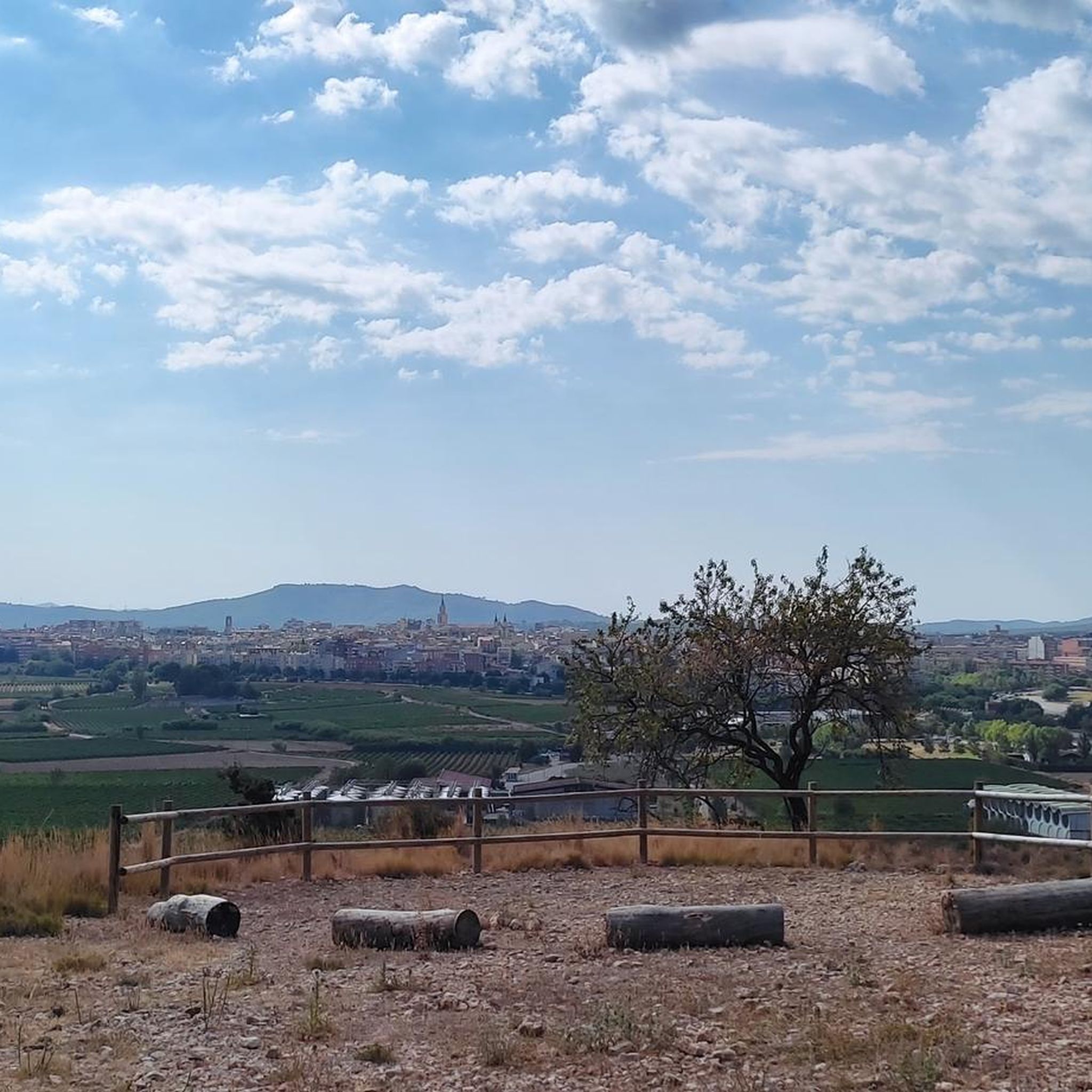
The Puig de l'Àliga, at 464 meters above sea level, is not the highest peak of the Garraf, that honor goes to the Puig de la Mola (534 meters), but it is the highest of the foothills southern parts of the Garraf massif. It forms a natural border between the regions of Alt Penedès and Garraf and is a natural viewpoint of both the Penedès plain and the Garraf coast. At its highest point there is a geodesic vertex, a large cross, and a fire watch tower.
2
0

Necropolis located on the elongated hill located in front of the Olerdolana wall. It is known as Pla dels Albats (relatively modern place name). This name comes from the numerous small and medium-sized tombs corresponding to infants and alabtas (babies who died before receiving the sacraments or having the use of reason) found in the necropolis of anthropomorphic tombs. More than a hundred tombs have been located. The graves are excavated in the rock, they are rectangular in plan, with the head separated from the rest of the body and narrower at the feet. Most feature a socket in the rock itself for the cap. The graves follow the east-west orientation. In the middle of the necropolis are the ruins of a building that has been identified as the remains of the chapel of Santa Maria. Part of the north wall is preserved, with a height close to 3 meters and the west wall, modernly altered. The chapel of Santa Maria and the necropolis must be associated with the population, more or less dispersed, located outside the walls in medieval times. They were already in operation at the beginning of the 10th century. Observations: Archaeological research is very incipient in this sector, its evolution will confirm the exact functionality of the building described, its chronology and the relationship with the remains of another building that can be guessed in the middle of the necropolis.
3
0
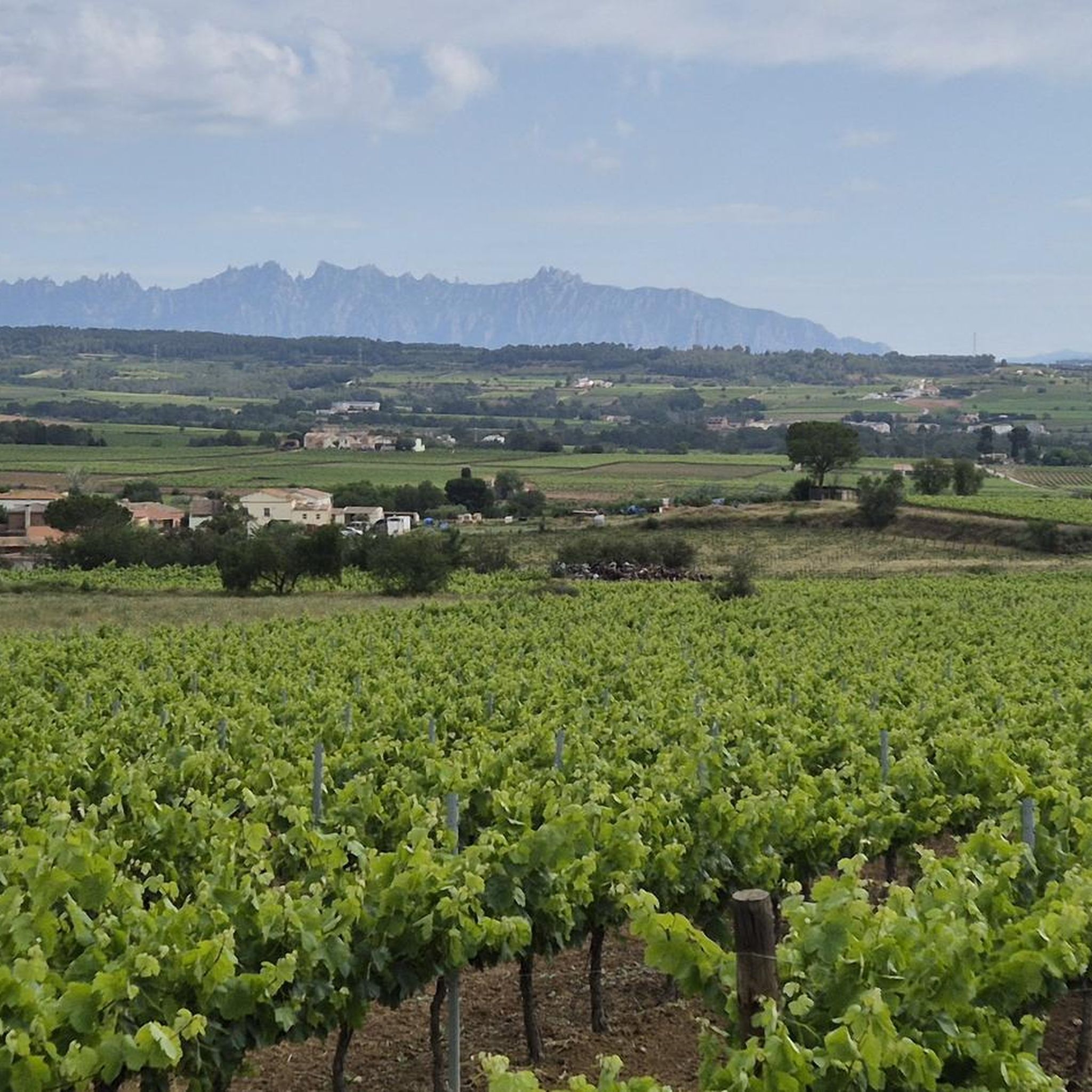
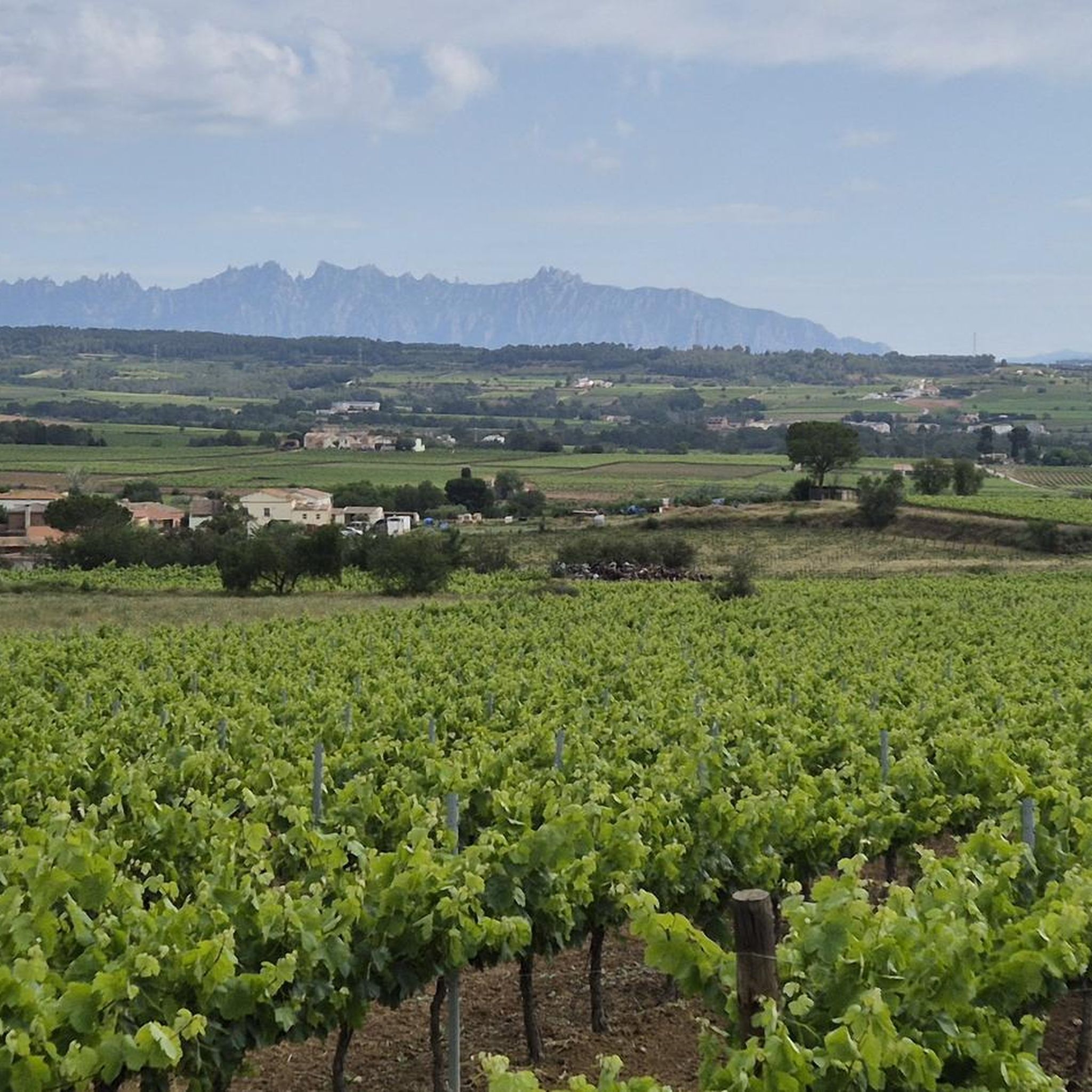
Small peak, near a quarry, where a series of rural roads converge. This is a typical area of the Penedès with extensive fields of vineyards interspersed with scattered farmhouses where you can also appreciate old quarries. From the top, if the vegetation allows us, you can see from Montserrat, la Mola, la Morella, el Montmell, el Montau and el Puig de l'Àliga, among others. As can be read on a small panel at the top, the Toponym derives from the word "popia", which in the geographical vocabulary of the popular language designates a hill of low height, with a regularly rounded shape and a wide base: the shape of the chest of 'a woman. The word "Papiol" derives from this metaphor. The name is already documented in 992 as the boundary of Viladellops (Olèrdola). Essential peak included in the list of 100 peaks of the F.E.E.C. https://www.feec.cat/activitats/100-cims/cim/penya-del-papiol/
1
0

Pla dels Albats Necropolis owes its name to the numerous tombs of children and newborns (babies who died before receiving the Sacraments). More than a hundred tombs outside the enclosure are documented. The tombs are excavated in the rock, they are rectangular with the head differentiated from the rest of the body and narrower at the feet. Most of them have a lace in the same rock for the cover. This consisted of one or several slabs that protected the body. The graves follow the east-west orientation.
2
0


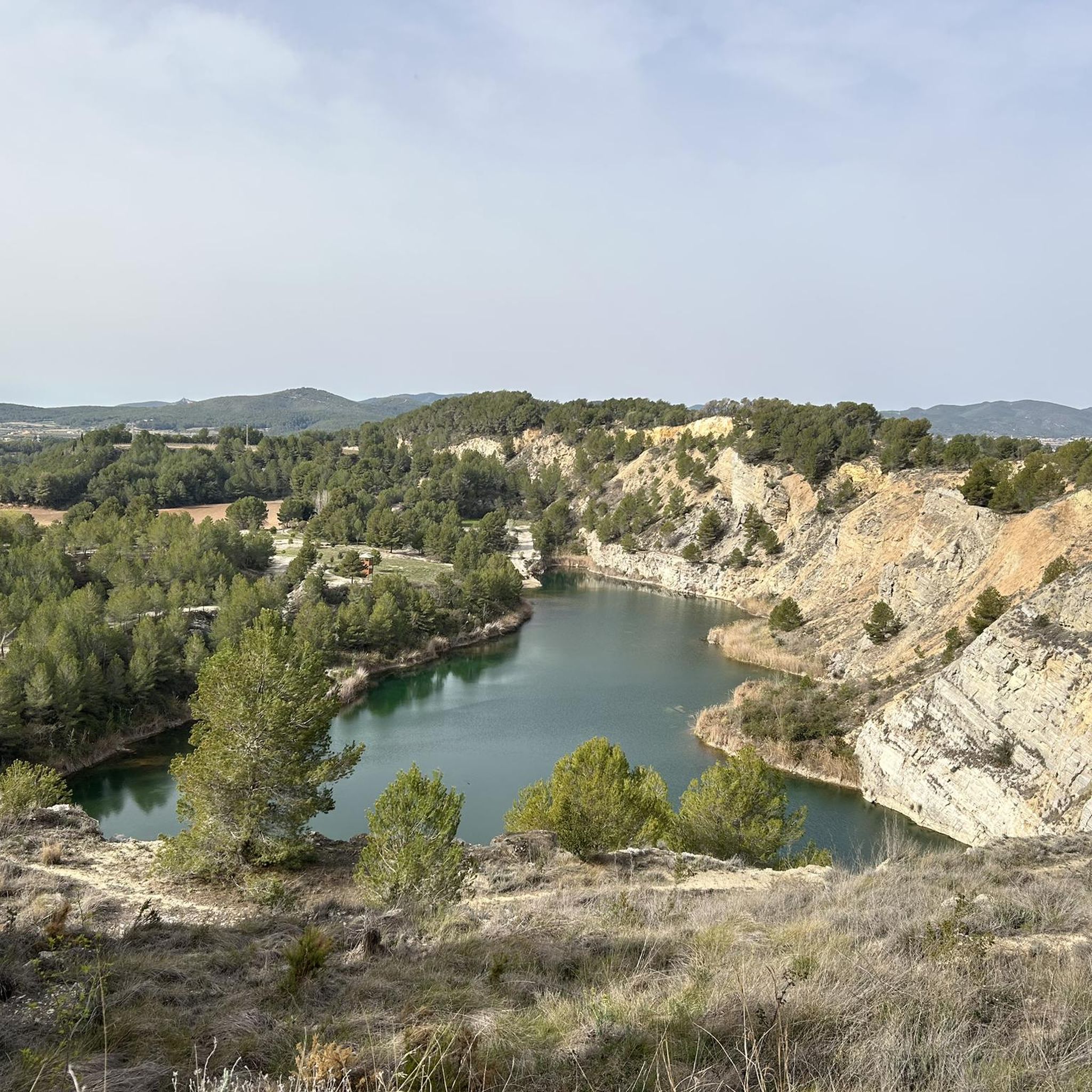
The Pèlags of Vilobí del Penedès are a small natural place in Vilobí del Penedès, in the Alt Penedès region. This space is made up of the old gypsum quarries on the Vilobí hill. It is of great scenic beauty and great ecological and geological value. This is a very peculiar area, a wetland with the presence of many species of birds, including several protected. The Pèlags de Vilobí have the interesting feature that four different environmental spaces come together in the same area: rock, forestry, agriculture and water. [ The pelagics - also called the cuttings - appeared as a result of the gypsum extraction activity that dates back to Roman times and has been typical of Vilobí until 1993. Since it stopped being extracted stone, a natural space has been formed consisting of four pelagics. The concentration of runoff water has given rise to its characteristic crescent shape and the particular ecosystem that has developed in the environment. It has very interesting and very peculiar landscapes such as the quarries themselves, and a very peculiar fauna and flora. This microecosystem formed by the Vilobí pelagics contrasts sharply with the wine landscape of the Alt Penedès region. Wikiloc dixit
1
0

La Penya del Papiol is a mountain of 381 meters located in the municipality of Olèrdola, in the Catalan region of Alt Penedès.
16
0
ラグラナダでのの人気観光スポット

komootモバイルアプリでインスピレーションを得よう


さらに探索
これらのガイドで、最高の洞窟を探す範囲を広げましょうラグラナダでの:
