オイアルツンの峠・トップ6
Oiartzun周辺の最高の峠は、山岳風景が豊かな地域にあり、アイアコ・ハリア自然公園へのアクセスを提供しています。ギプスコア県の北東部に位置するこの地域は、その険しい地形を特徴づける花崗岩の山脈を擁しています。これらの峠は、ハイキングやマウンテンバイクの広大なトレイルネットワークへの入り口として機能し、多様な景観の眺めとアクセスを提供します。Oiartzunの峠は、バスク地方の自然遺産を探索する上で不可欠な要素です。
Oiartzun周辺の最高の峠
- 最も人気のある峠は、定期的な登りを提供する峠であるコル・ディバルディンです。フランスとスペインの国境にあるこの峠は、税制上の優遇措置により店舗やレストランがあり、補給の機会を提供しています。
- もう一つの必見スポットは、静かな道での登りがある峠、アルト・デ・アギニャです。このルートは緑豊かな森を通り抜け、時折、谷とエンダラ貯水池の景色が開けます。
- 訪問者は、挑戦的な峠であるエルライツ・パスも気に入っています。急勾配のランプがある厳しい登りが特徴で、頂上からはチンギディ湾全体の景色が見渡せます。
- Oiartzunは、登り、展望台、トレイルを提供する峠で知られています。峠の多様性は、この地域の自然環境を探索するためのさまざまな体験を提供します。
- Oiartzun周辺の峠は、komootコミュニティによって高く評価されており、さまざまなハイライトで140以上の「いいね!」と18枚の写真が共有されています。
最終更新日: 8月 25, 2026
パサイアからのハイツキベルの登り
ハイライト (セグメント) • 登山
翻訳者 Google •
役立つ情報 は

コル・デュ・イバルディン
ハイライト • 山道
翻訳者 Google •
役立つ情報 は

今すぐサインアップして、こんな場所を発見しよう
最高のシングルトラック、ピーク、その他のエキサイティングなアウトドアスポットのおすすめを受け取ろう。
無料新規登録
アルト・デ・アギーニャ
ハイライト • 山道
翻訳者 Google •
役立つ情報 は

オシンゴ・レポア峠
ハイライト • 山道
翻訳者 Google •
役立つ情報 は

無料アカウントで今日から始めよう
次の冒険が待っています。
ログインまたは登録



コミュニティからのヒント

This is a legendary climb in the area. It's nine kilometers long, accumulating 525 meters of elevation gain at an average gradient of 5.8%. The views are magnificent, and there's usually not much traffic. The road surface isn't perfect, so be careful with some of the potholes.
0
1

the crossroads allowing you to go in different directions while offering a panorama of the valley
0
0

very hard pass at the end, with passages at more than 10% on average.
1
0
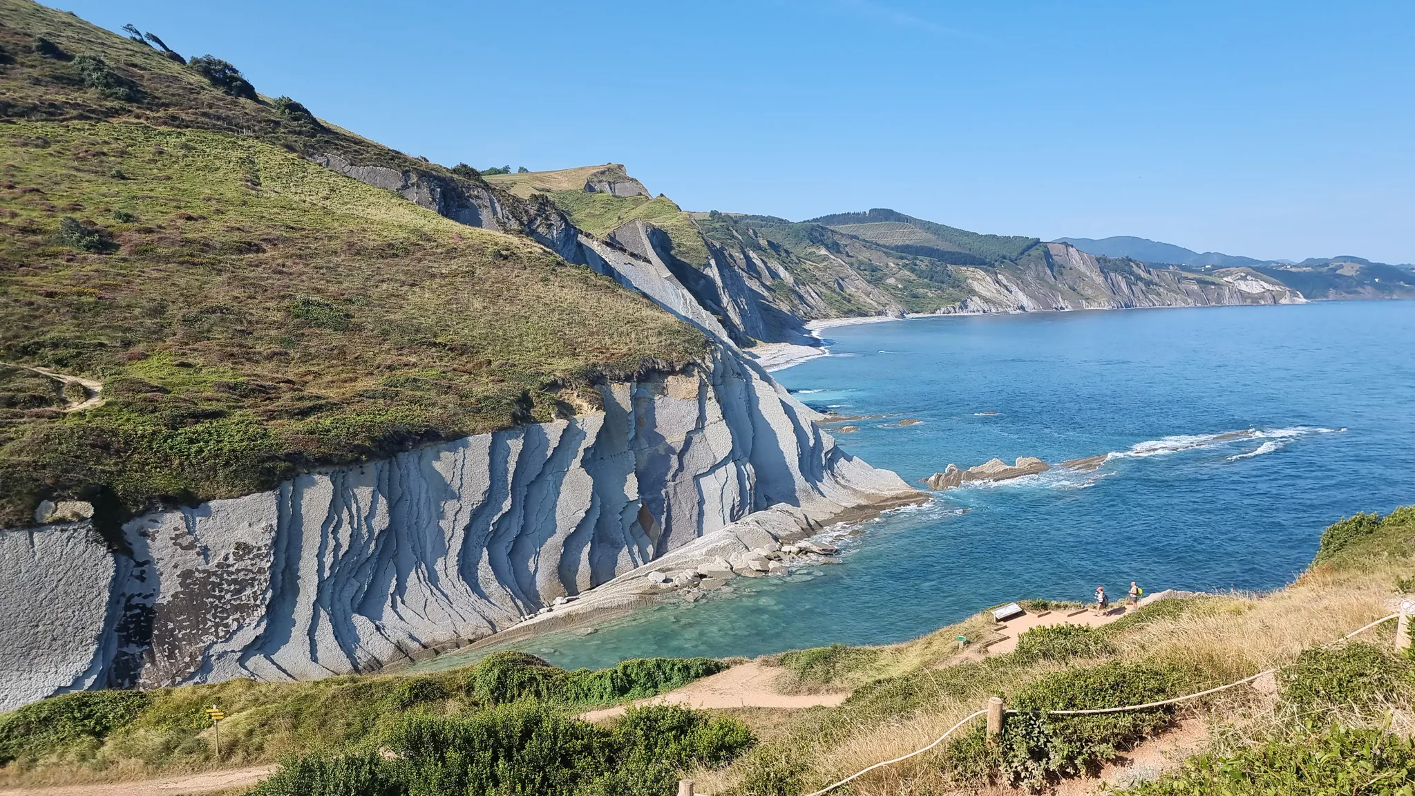
Magnificent pass bordering the Atlantic Ocean.
1
0

Shops, French and Spanish restaurants, on the edge of the border,
2
1

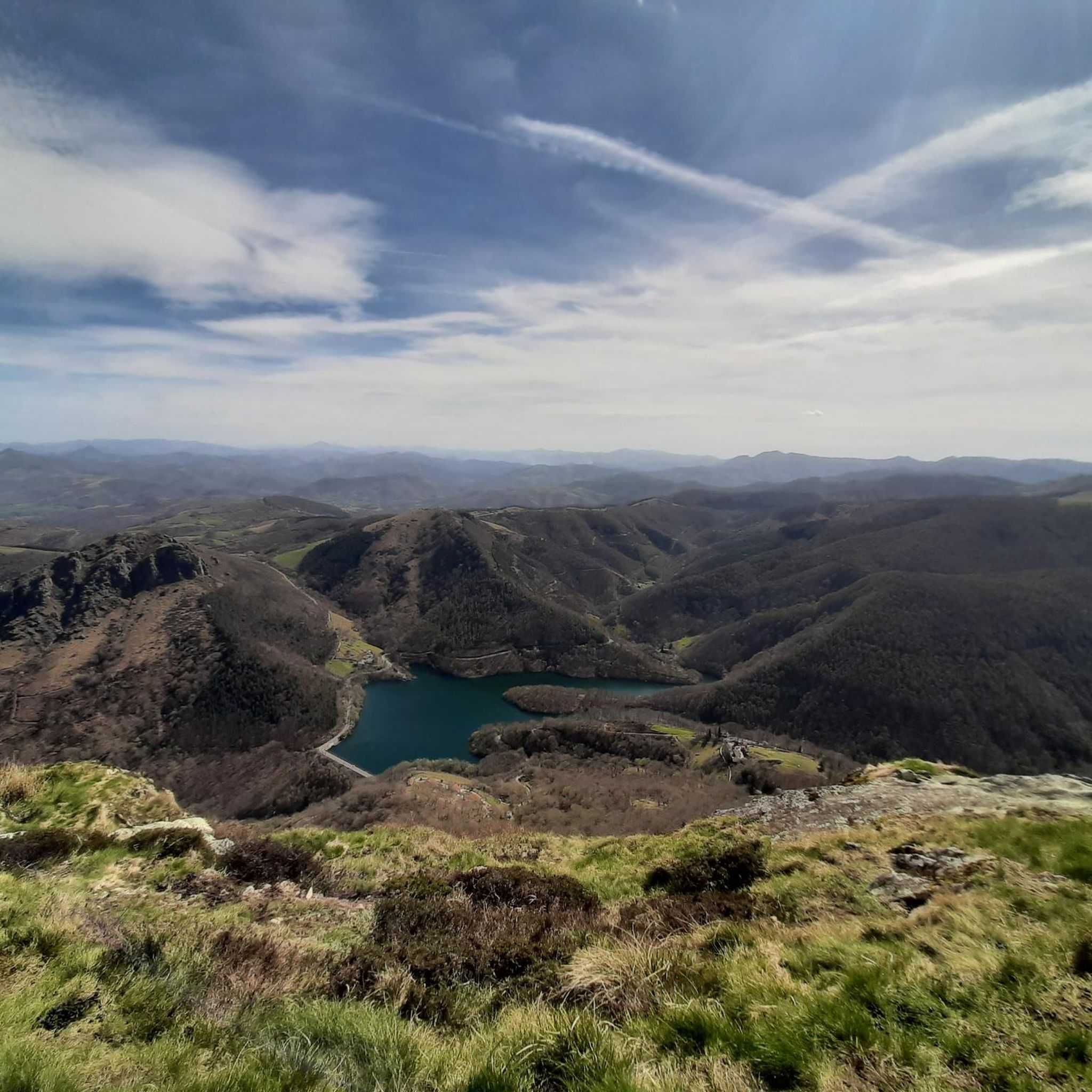
Nice climb up a very quiet road, which runs through a leafy forest, although from time to time the landscape opens up and you can admire the views of the valley and the Endara reservoir. The slope from Endara is 4.2 kilometers long, with an average gradient of 6.8%. Around kilometer 3 is when the hardest percentages are found, around 8 and 10%. If you go up from Lesaka the climb is twice as long, but it doesn't really start to get steep until the second kilometer. In any case, it is not a very steep climb until the last kilometer, where there are ramps of up to 11%.
2
0

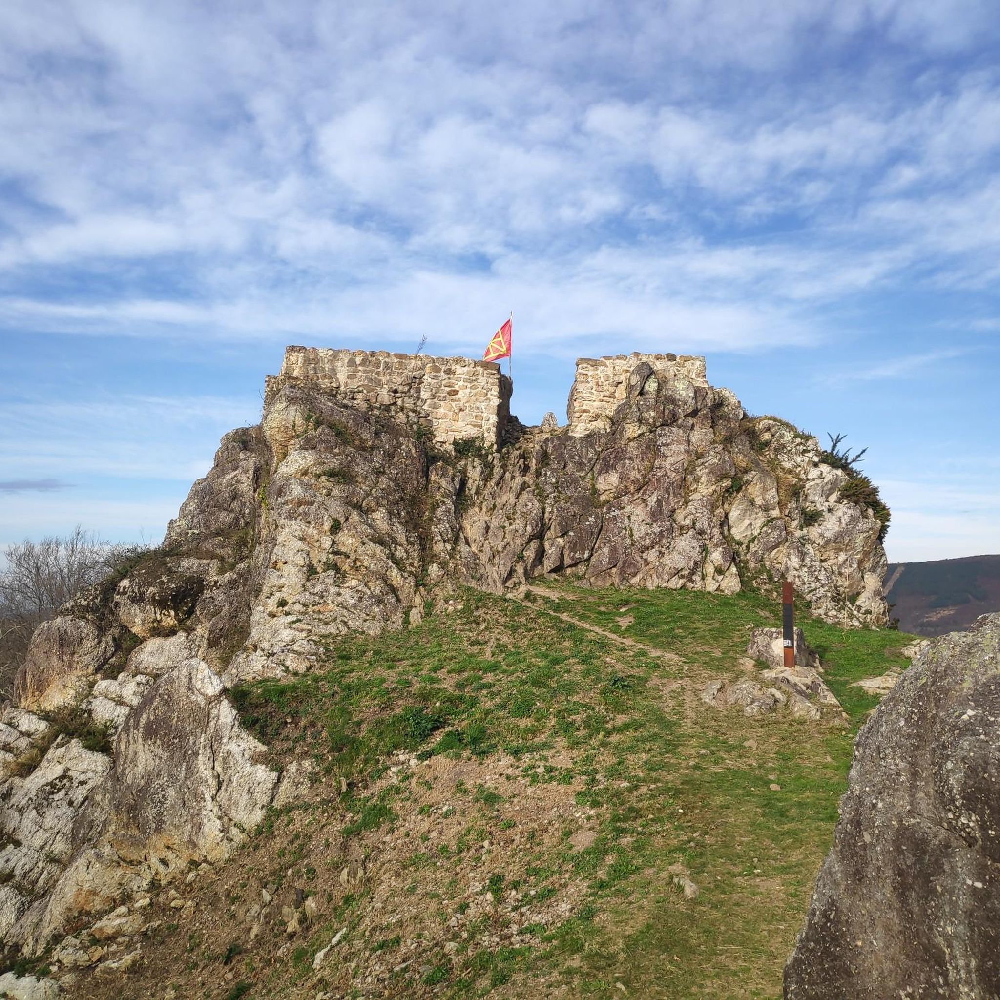
The Col d'Ibardin is very close to the Franco-Spanish border. It is an ideal place to eat and fill up on water.
1
0

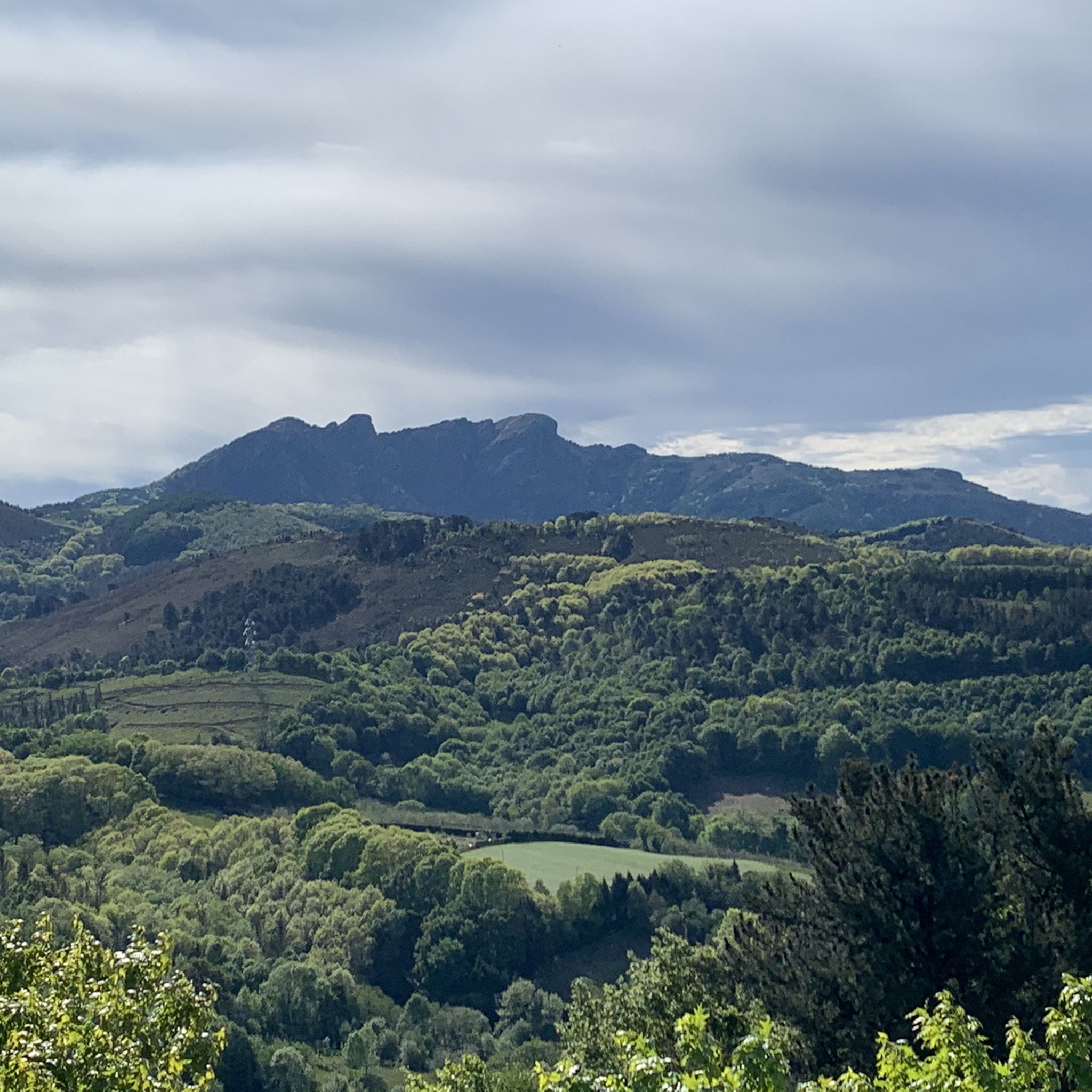
The mountain of Osingo Zelaia is at an altitude of 392 meters. 1697 mountains in France (24%) are lower than Osingo Zelaia while 5515 (76%) are higher in altitude
0
0

komootモバイルアプリでインスピレーションを得よう


さらに探索
これらのガイドでさらに壮大な山道を見てみましょうオイアルツンでの:
