フォルゴーソドクーレルの天然記念物・トップ9
フォルゴーソドクーレルが誇る美しい風景を見てみたいなら、フォルゴーソドクーレルの素晴らしい天然記念物・トップ9
に行ってみましょう。あなたにぴったりの場所が見つかるよう、素晴らしい天然記念物を探索するために必要なすべての情報を集めました。次のアウトドアの冒険に出かける計画の参考にしましょう。
最終更新日: 8月 25, 2026
ラミルの古代の栗の木
ハイライト • 自然記念物
翻訳者 Google •
役立つ情報 は

フォンテ・ド・セルヴォの滝
ハイライト • 滝
翻訳者 Google •
役立つ情報 は

今すぐサインアップして、こんな場所を発見しよう
最高のシングルトラック、ピーク、その他のエキサイティングなアウトドアスポットのおすすめを受け取ろう。
無料新規登録
ロル川
ハイライト • 川
翻訳者 Google •
役立つ情報 は
セブレイロの三つの峰
ハイライト (セグメント) • 山道
In the …
翻訳者 Google •
役立つ情報 は

フェルベンサ・ド・ベイロ(ベイロの滝)
ハイライト • 滝
翻訳者 Google •
役立つ情報 は

無料でサインアップして、さらに多くの自然記念物を発見しましょう フォルゴーソドクーレルでの。
無料新規登録
すでにアカウントをお持ちですか?
無料アカウントで今日から始めよう
次の冒険が待っています。
ログインまたは登録

コミュニティからのヒント

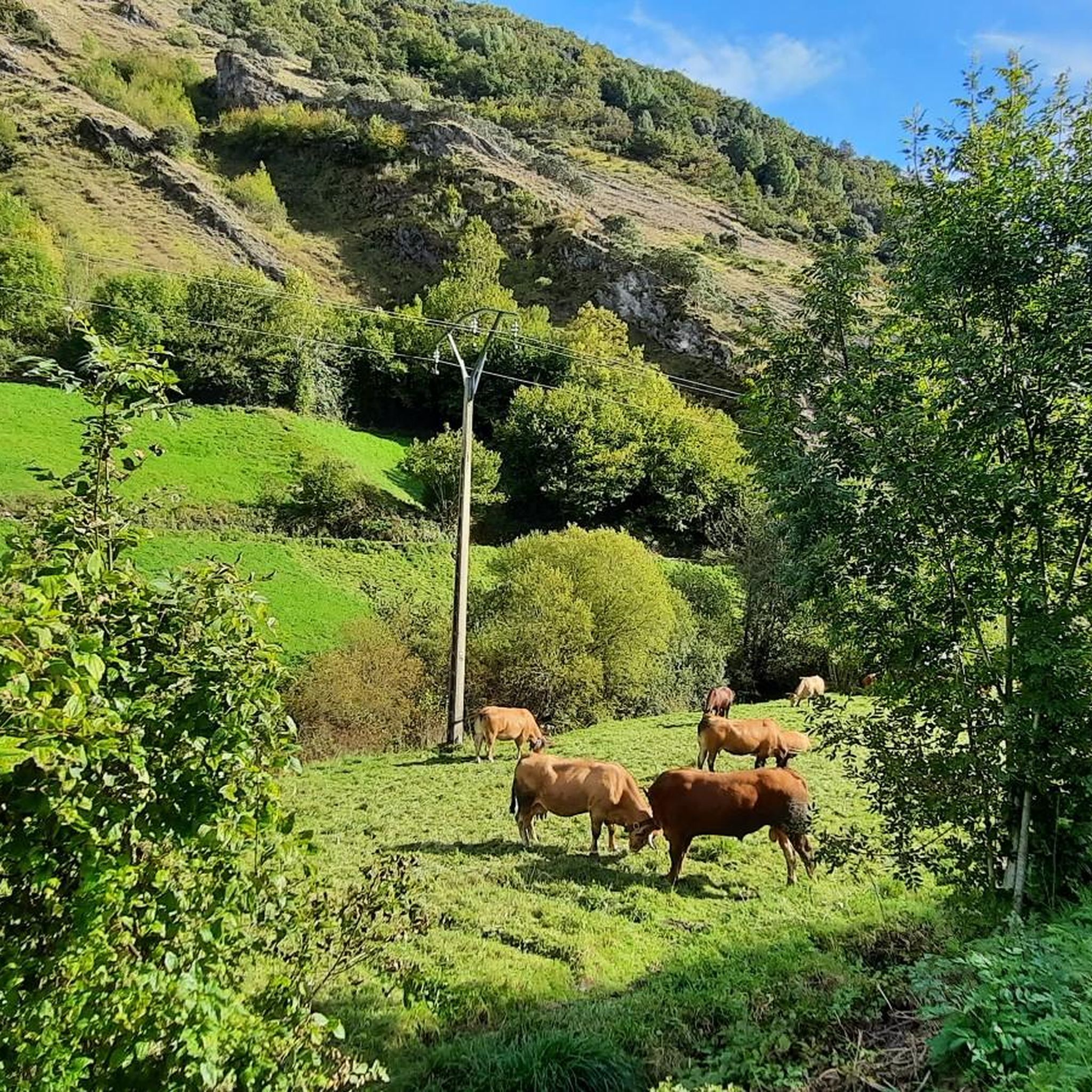
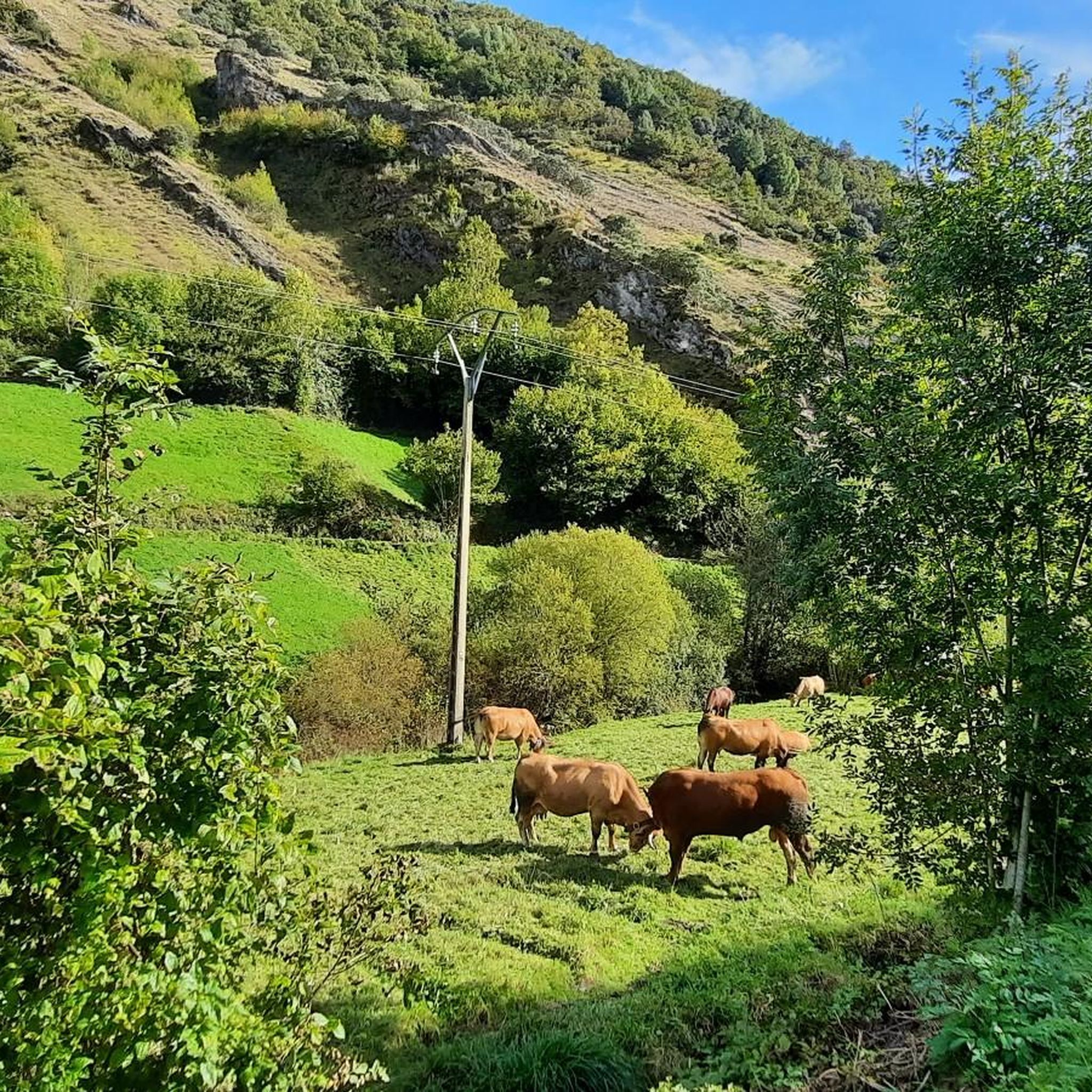
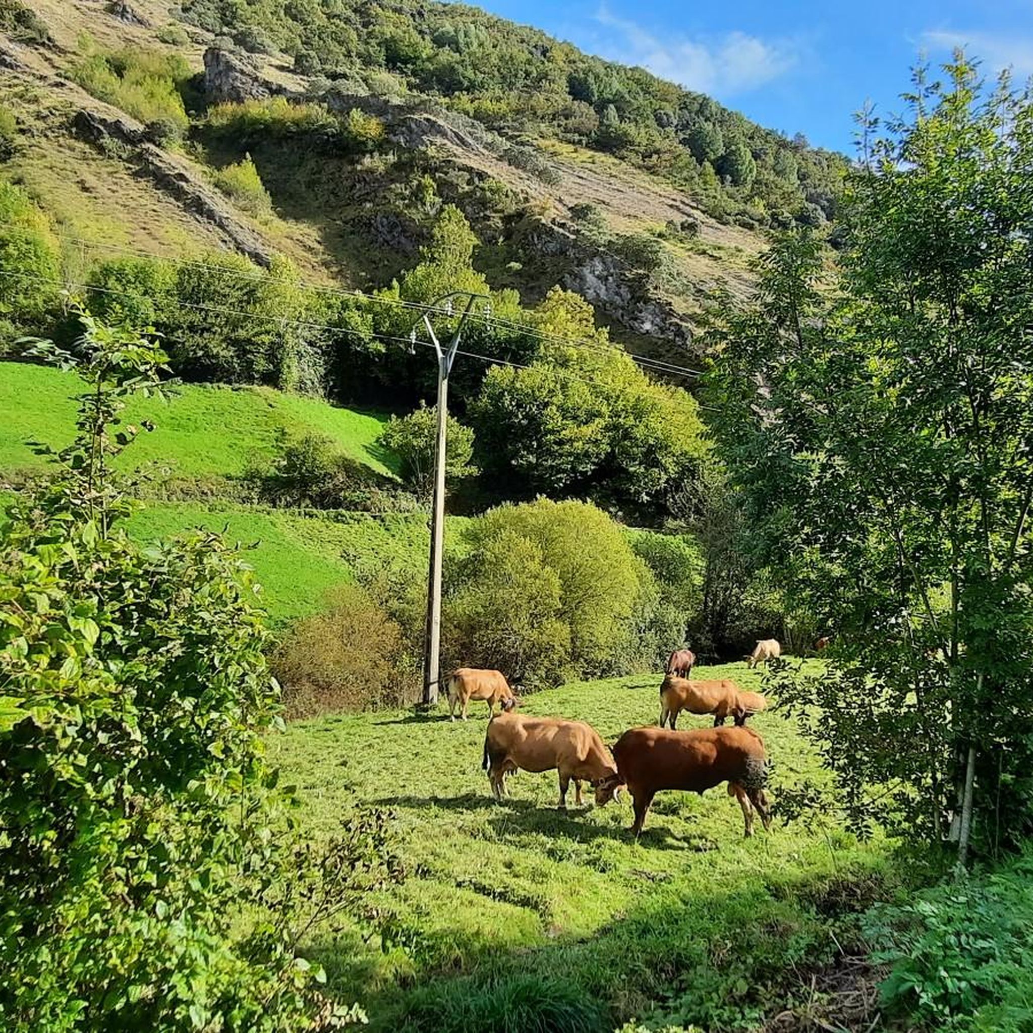
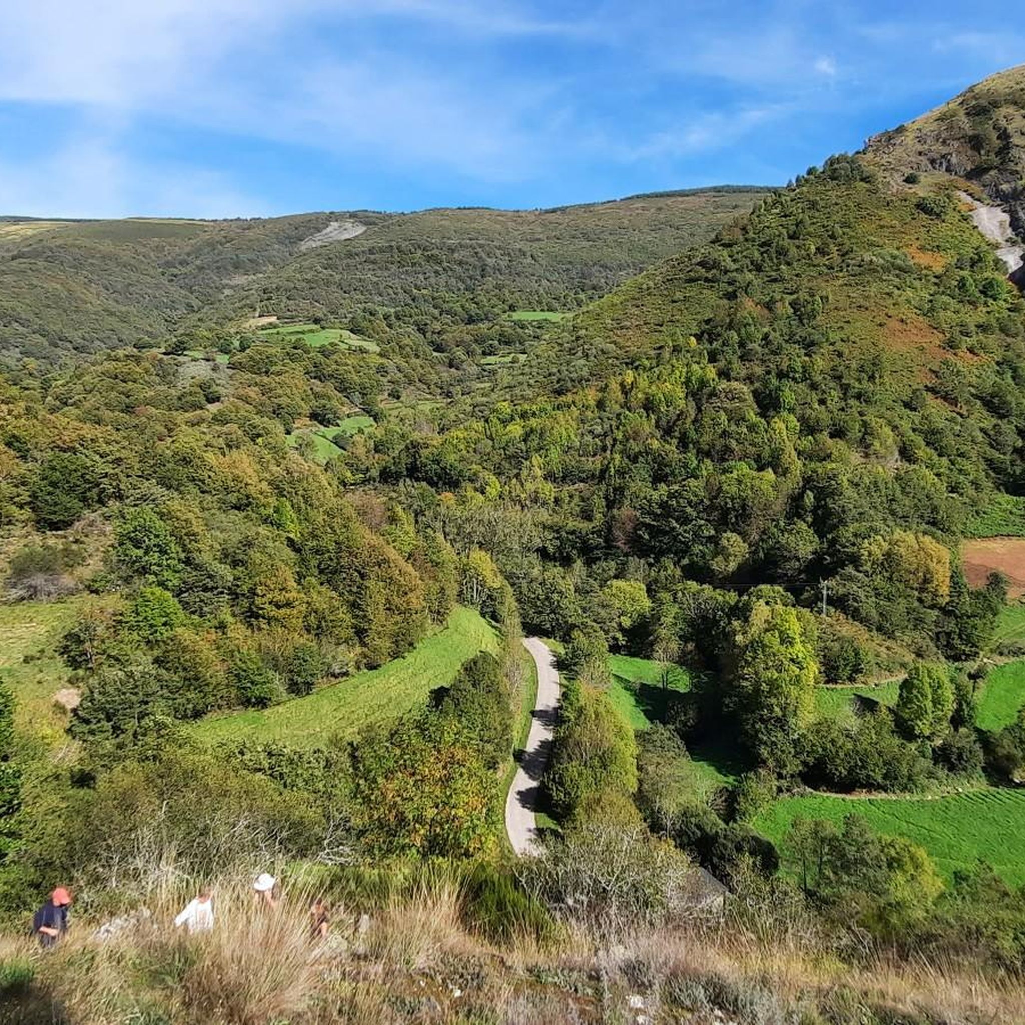
It rises in the Serra do Courel mountain range and flows into the Sil River, passing through chestnut and oak forests that look like something out of a fairy tale. Its name is said to come from the laurel trees that grew on its banks. It's cool, clean, and offers perfect spots to stop, take a dip, or simply watch the water flow by.
0
0

In the small village of Ramil at the foot of the Camino, just before Triacastela, stands one of Galicia's most beautiful century-old chestnut trees. Its trunk spans 8.5 meters and, with its hollow spaces and thick branches that seem to embrace the tree, resembles an X-ray of time.
0
1

Large deciduous tree that is common in the mountains of Galicia. The fruits are covered with a green rind with thorns, the "erize". The season for harvesting chestnuts is November, and in Triacastela and throughout Galicia in general it is celebrated with a festival called "magesto". The main use of the chestnut tree is to obtain its wood and use its fruit as food for the population in general and as food for livestock.
1
0

This impressive tree is over 800 years old. A true natural monument.
2
0

If you decide to explore this route, you will be surrounded by nature, history and stunning views along the River Lor. Enjoy your hike! 🏞️🚶♂️🥾🚵🌞
17
2

This emblematic chestnut tree, which is located in the middle of the Jacobean route, specifically on the French Way, is more than 800 years old. It has become an iconic place that many pilgrims want to remember by taking photos.
13
0

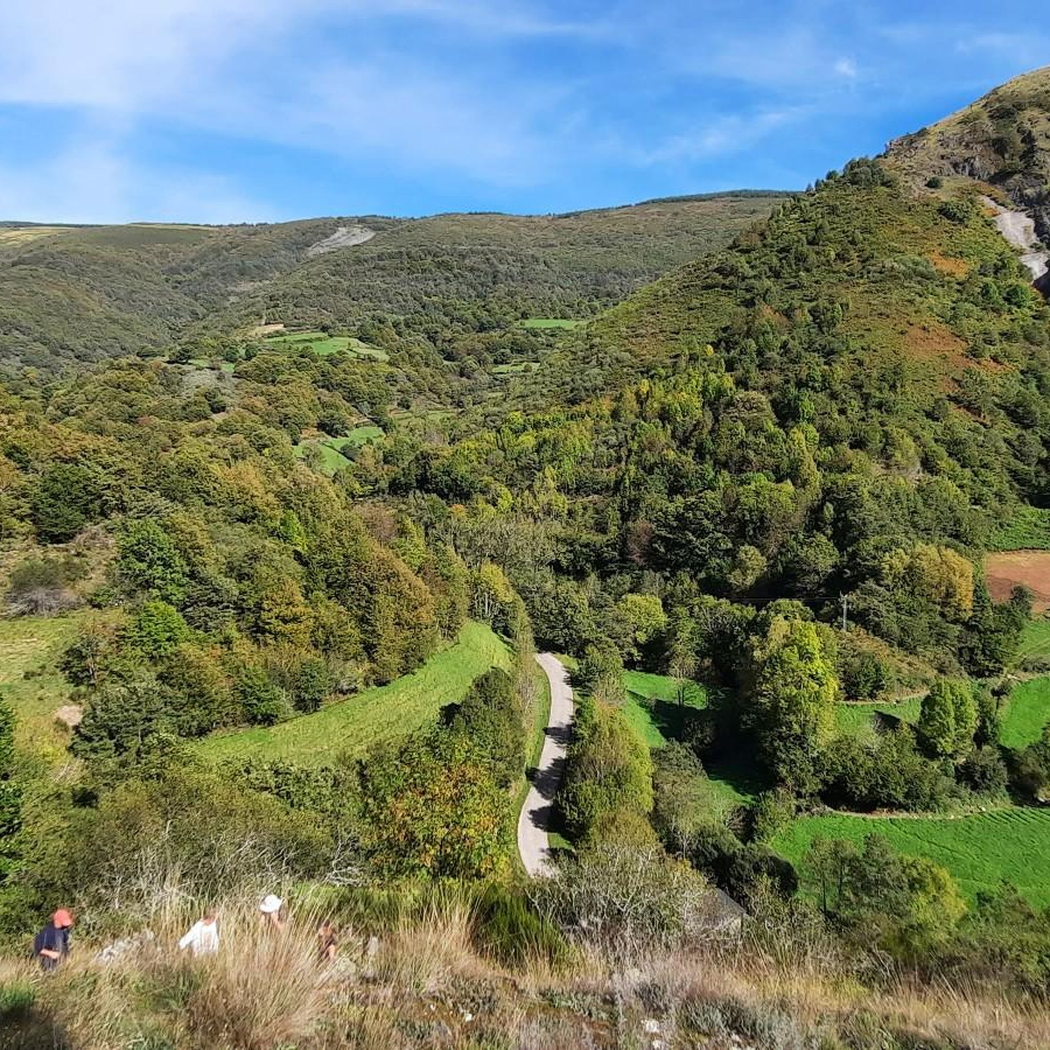
The last real climbs of the Camino are the three peaks of the Cebreiro mountain group, over a distance of approximately 13 km, divided into three equivalent segments. In the first stretch, starting from Pedrafita (1100 m above sea level) and following the LU-633 up to Cebreiro (1300 m.) there are 4 km almost entirely of climbs, which are also very tiring if you are carrying a lot of luggage: the heat accumulated for fatigue can turn into frozen sweat, cold and chills due to possible fog, tiredness and/or dehydration and the difference in temperature compared to Pedrafita; in addition to covering up, it is advisable to stop for a short refreshment at the village bar. In the second stretch you descend to Linares (1220 m), and then climb up to Alto de San Roque (1260 m), which is particularly windy, as evidenced by the statue of the saint placed on the pass of the hill. The third stretch descends again to Hospital (approximately 1250m) and then rises again reaching Alto do Poio (1335m), the highest point of the three peaks. From here the road begins to descend rapidly for about fifteen km up to 660 m. above sea level of Triacastela.
2
0
フォルゴーソドクーレルでのの人気観光スポット

komootモバイルアプリでインスピレーションを得よう


さらに探索
これらのガイドで、最高の洞窟を探す範囲を広げましょうフォルゴーソドクーレルでの:
