カニエルの天然記念物・トップ14
Canyelles周辺の最高の自然記念物は、ガルラフ自然公園に近いという特徴を持つ景観の中にあります。この地域は、なだらかな丘陵地帯、松林、石灰岩のカルスト地形が特徴です。このエリアでは、ハイキングや探検などのアウトドアアクティビティの機会があり、訪問者は多様な生態系と触れ合うことができます。その静かな田園地帯、ブドウ畑、オリーブ畑は、穏やかな逃避行を提供します。
Canyelles周辺の最高の自然記念物
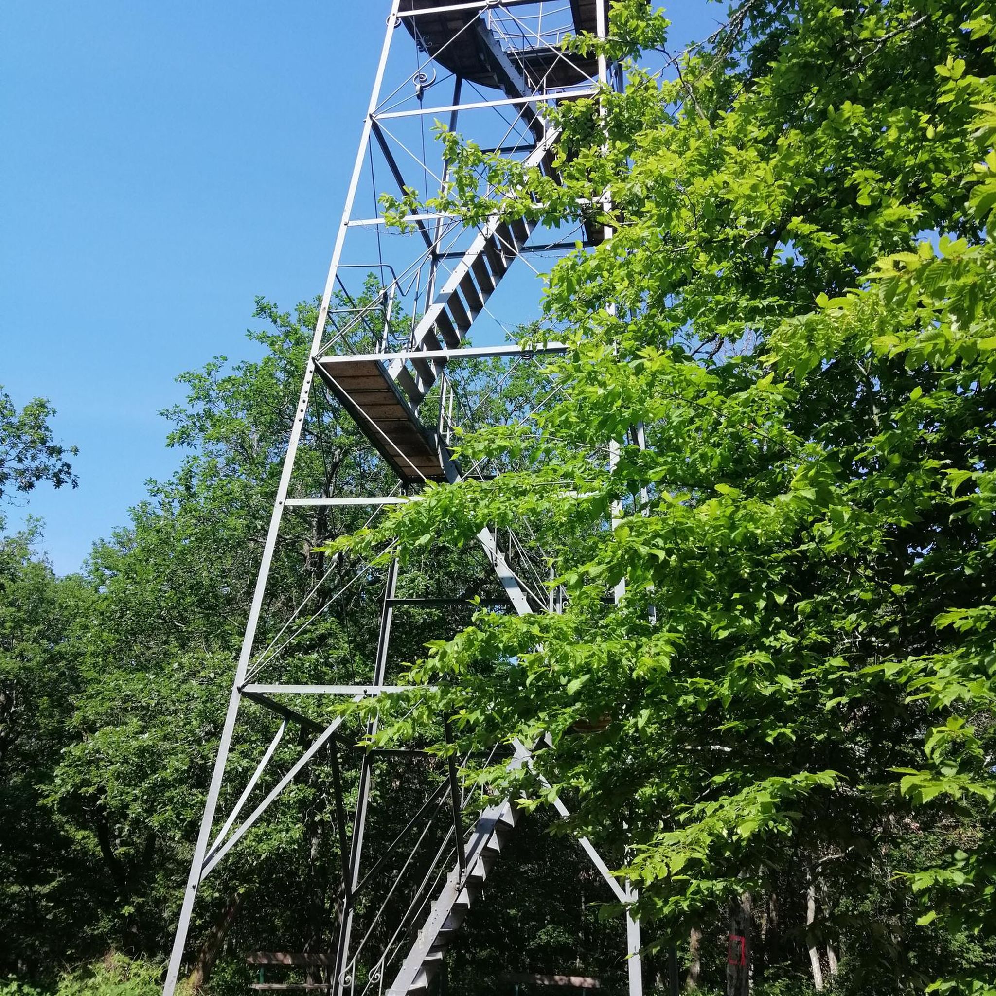
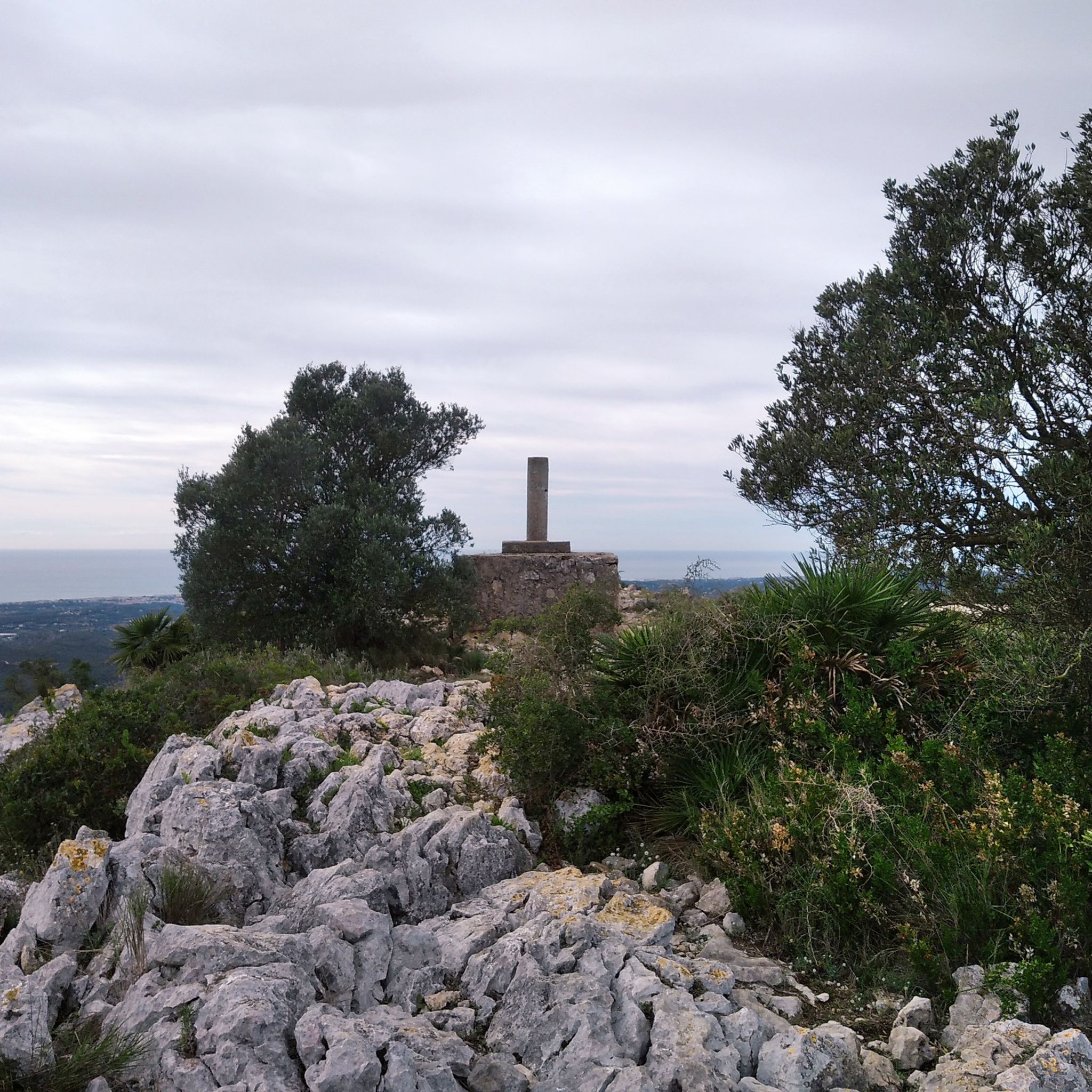
- 最も人気のある自然記念物は、ペネデス平野とガルラフ海岸のパノラマビューを提供する頂上、Puig de l'Àligaです。標高464メートルの最高地点には、測地基準点、大きな十字架、火災監視塔があります。
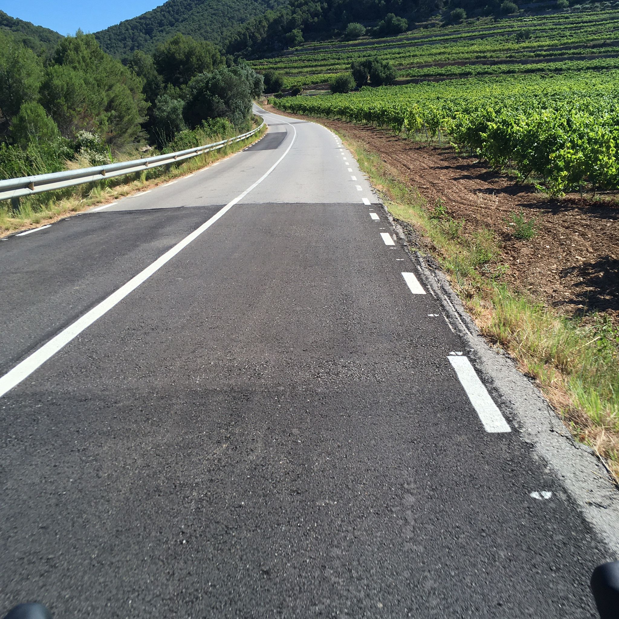
- もう一つの必見スポットは、ガルラフ山塊にある山、Puig de la Mola summit (534 m)です。ガルラフで最も高いピークであり、広大な景色を望め、測地基準点と監視塔があります。
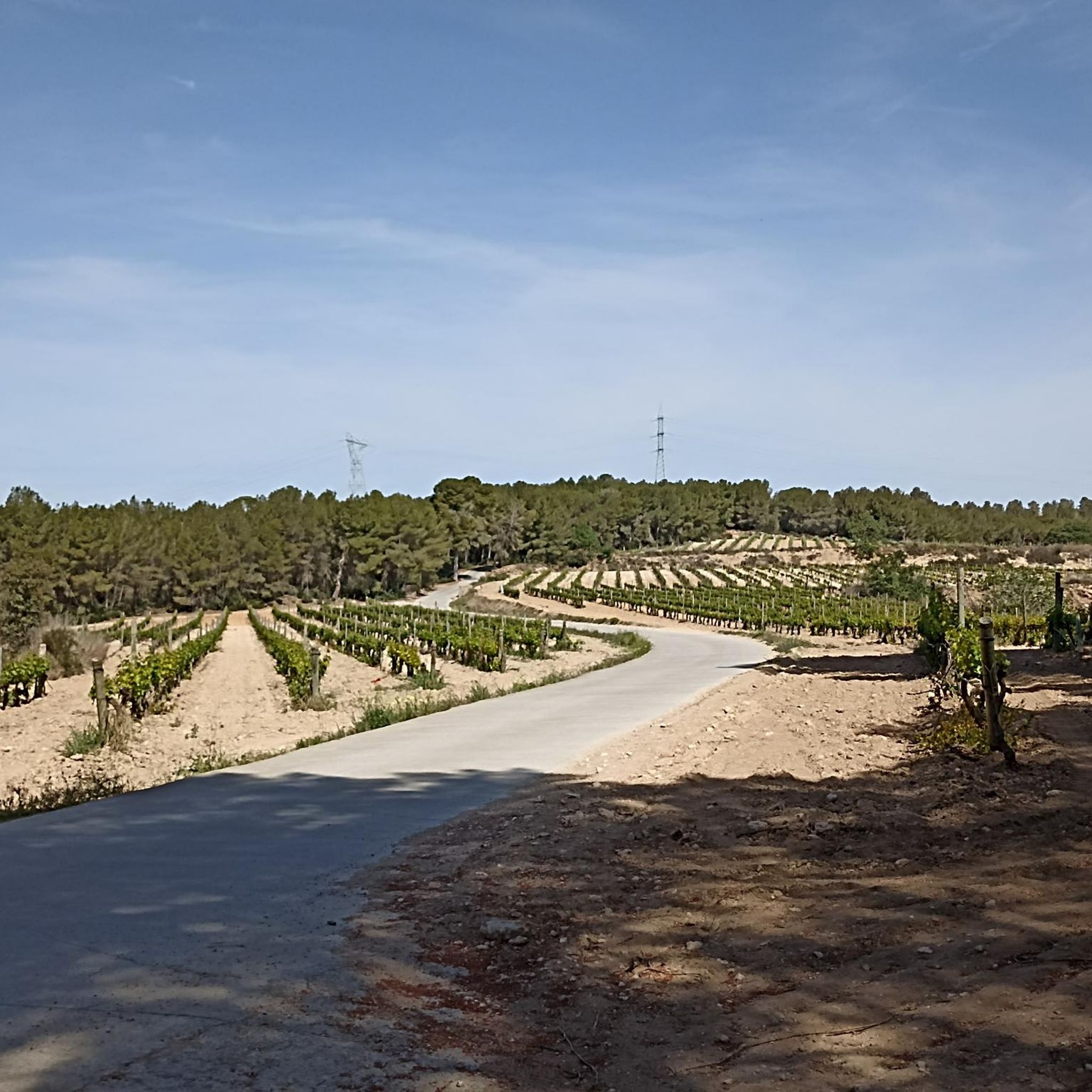
- 訪問者は、オルデローラ市にある標高381メートルの頂上、Penya del Papiolも気に入っています。その頂上からは、モンセラート、ラ・モラ、エル・プイグ・デ・ラリガまで見渡せます。
- Canyellesは、頂上、湖、史跡で知られています。このエリアは、山の頂上から貯水池、古代遺跡まで、探索できるさまざまな自然記念物を提供しています。
- Canyelles周辺の自然記念物は、komootコミュニティによって高く評価されています。80件以上の「いいね!」と60枚以上の写真を受け取っており、アウトドア探検の魅力を示しています。
最終更新日: 8月 25, 2026
プイグ・デ・ラリガ
ハイライト • 山頂
翻訳者 Google •
役立つ情報 は

プイグ・デ・ラ・モラ山頂(標高534 m)
ハイライト • 山頂
翻訳者 Google •
役立つ情報 は

今すぐサインアップして、こんな場所を発見しよう
最高のシングルトラック、ピーク、その他のエキサイティングなアウトドアスポットのおすすめを受け取ろう。
無料新規登録
ペーニャ・デル・パピオル
ハイライト • 山頂
翻訳者 Google •
役立つ情報 は
プラ・デルス・アルバッツのネクロポリスと礼拝堂跡
ハイライト • 歴史的な場所
翻訳者 Google •
役立つ情報 は


無料アカウントで今日から始めよう
次の冒険が待っています。
ログインまたは登録
コミュニティからのヒント

Highest point of Garraf. Peak with a lot of wind. But with 360 degree views
0
0


The Puig de l'Àliga, at 464 meters above sea level, is not the highest peak of the Garraf, that honor goes to the Puig de la Mola (534 meters), but it is the highest of the foothills southern parts of the Garraf massif. It forms a natural border between the regions of Alt Penedès and Garraf and is a natural viewpoint of both the Penedès plain and the Garraf coast. At its highest point there is a geodesic vertex, a large cross, and a fire watch tower.
2
0

自然再生された川の河口は、小さくてかわいらしい自然保護区であり、特に様々な鳥類にとって重要であるとされています。 以前はここにキャンプ場がありました。
0
0

Mountain that is located in the old middle of the Garraf Natural Park and on a clear day, you can even see views of Montserrat mountain.
0
0

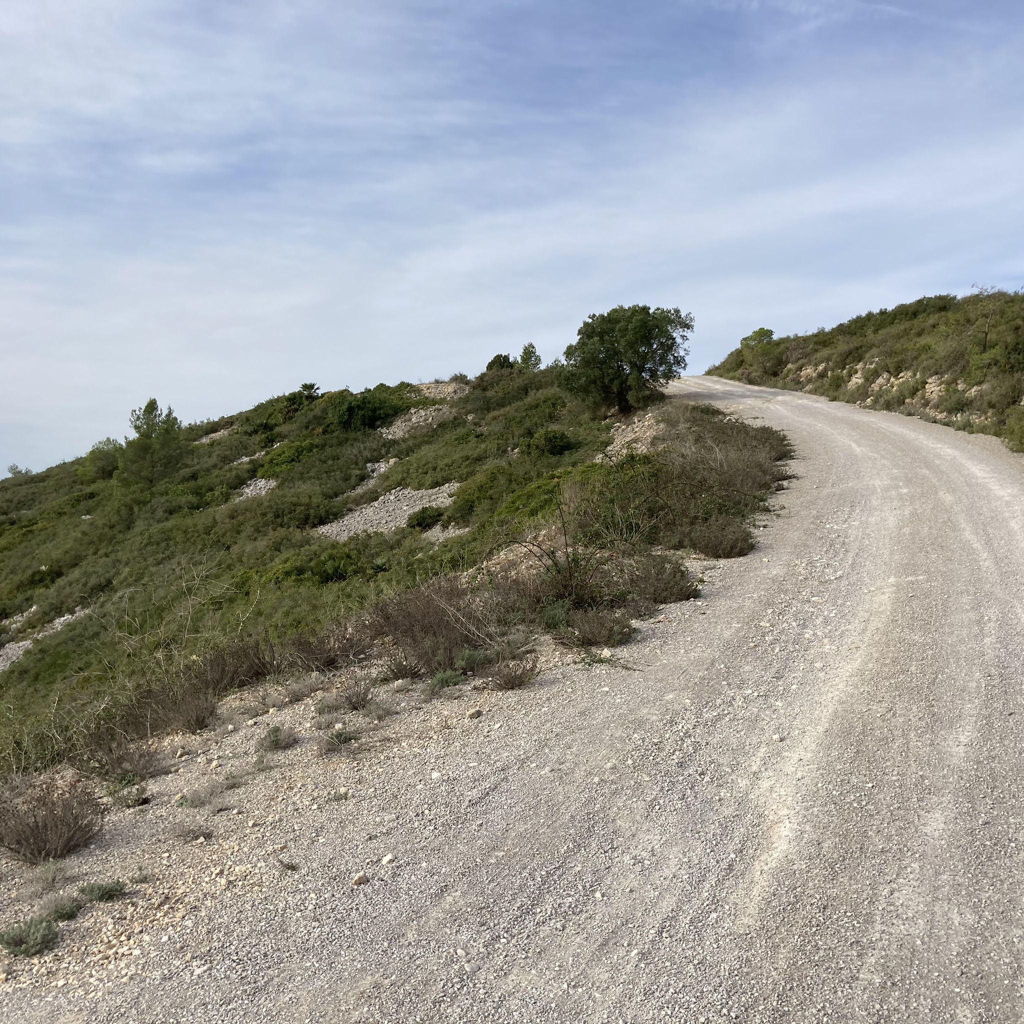
Necropolis located on the elongated hill located in front of the Olerdolana wall. It is known as Pla dels Albats (relatively modern place name). This name comes from the numerous small and medium-sized tombs corresponding to infants and alabtas (babies who died before receiving the sacraments or having the use of reason) found in the necropolis of anthropomorphic tombs. More than a hundred tombs have been located. The graves are excavated in the rock, they are rectangular in plan, with the head separated from the rest of the body and narrower at the feet. Most feature a socket in the rock itself for the cap. The graves follow the east-west orientation. In the middle of the necropolis are the ruins of a building that has been identified as the remains of the chapel of Santa Maria. Part of the north wall is preserved, with a height close to 3 meters and the west wall, modernly altered. The chapel of Santa Maria and the necropolis must be associated with the population, more or less dispersed, located outside the walls in medieval times. They were already in operation at the beginning of the 10th century. Observations: Archaeological research is very incipient in this sector, its evolution will confirm the exact functionality of the building described, its chronology and the relationship with the remains of another building that can be guessed in the middle of the necropolis.
3
0
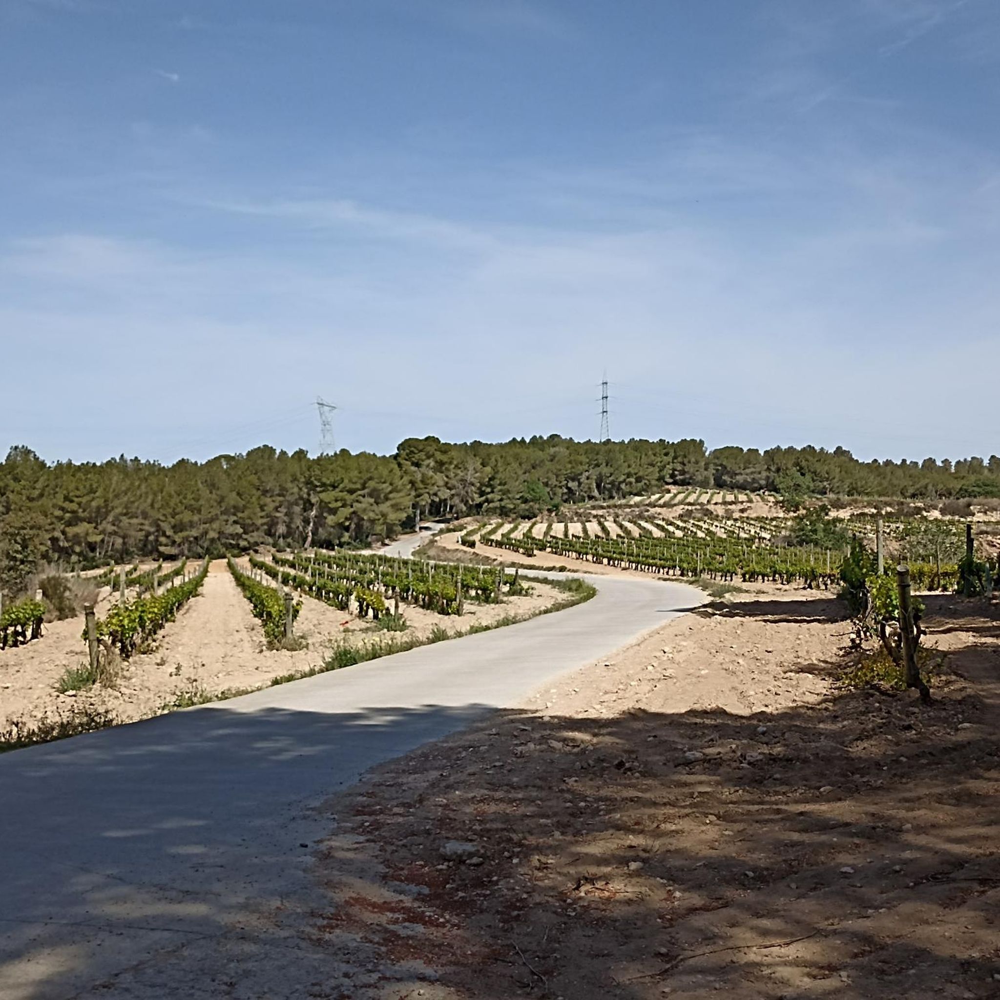
Small peak, near a quarry, where a series of rural roads converge. This is a typical area of the Penedès with extensive fields of vineyards interspersed with scattered farmhouses where you can also appreciate old quarries. From the top, if the vegetation allows us, you can see from Montserrat, la Mola, la Morella, el Montmell, el Montau and el Puig de l'Àliga, among others. As can be read on a small panel at the top, the Toponym derives from the word "popia", which in the geographical vocabulary of the popular language designates a hill of low height, with a regularly rounded shape and a wide base: the shape of the chest of 'a woman. The word "Papiol" derives from this metaphor. The name is already documented in 992 as the boundary of Viladellops (Olèrdola). Essential peak included in the list of 100 peaks of the F.E.E.C. https://www.feec.cat/activitats/100-cims/cim/penya-del-papiol/
1
0
カニエルでのの人気観光スポット

komootモバイルアプリでインスピレーションを得よう


