ガルベデソルベの天然記念物・トップ14
ガルベデソルベが誇る美しい風景を見てみたいなら、ガルベデソルベの素晴らしい天然記念物・トップ14
に行ってみましょう。あなたにぴったりの場所が見つかるよう、素晴らしい天然記念物を探索するために必要なすべての情報を集めました。次のアウトドアの冒険に出かける計画の参考にしましょう。
最終更新日: 11月 1, 2026
オセホン山
ハイライト • 山頂
翻訳者 Google •
役立つ情報 は

チョレラ・デ・デスペニャラグアの滝
ハイライト • 滝
翻訳者 Google •
役立つ情報 は
今すぐサインアップして、こんな場所を発見しよう
最高のシングルトラック、ピーク、その他のエキサイティングなアウトドアスポットのおすすめを受け取ろう。
尾根の草原
ハイライト • 山道
翻訳者 Google •
役立つ情報 は
アギセホ川の源流
ハイライト • 川
翻訳者 Google •
役立つ情報 は
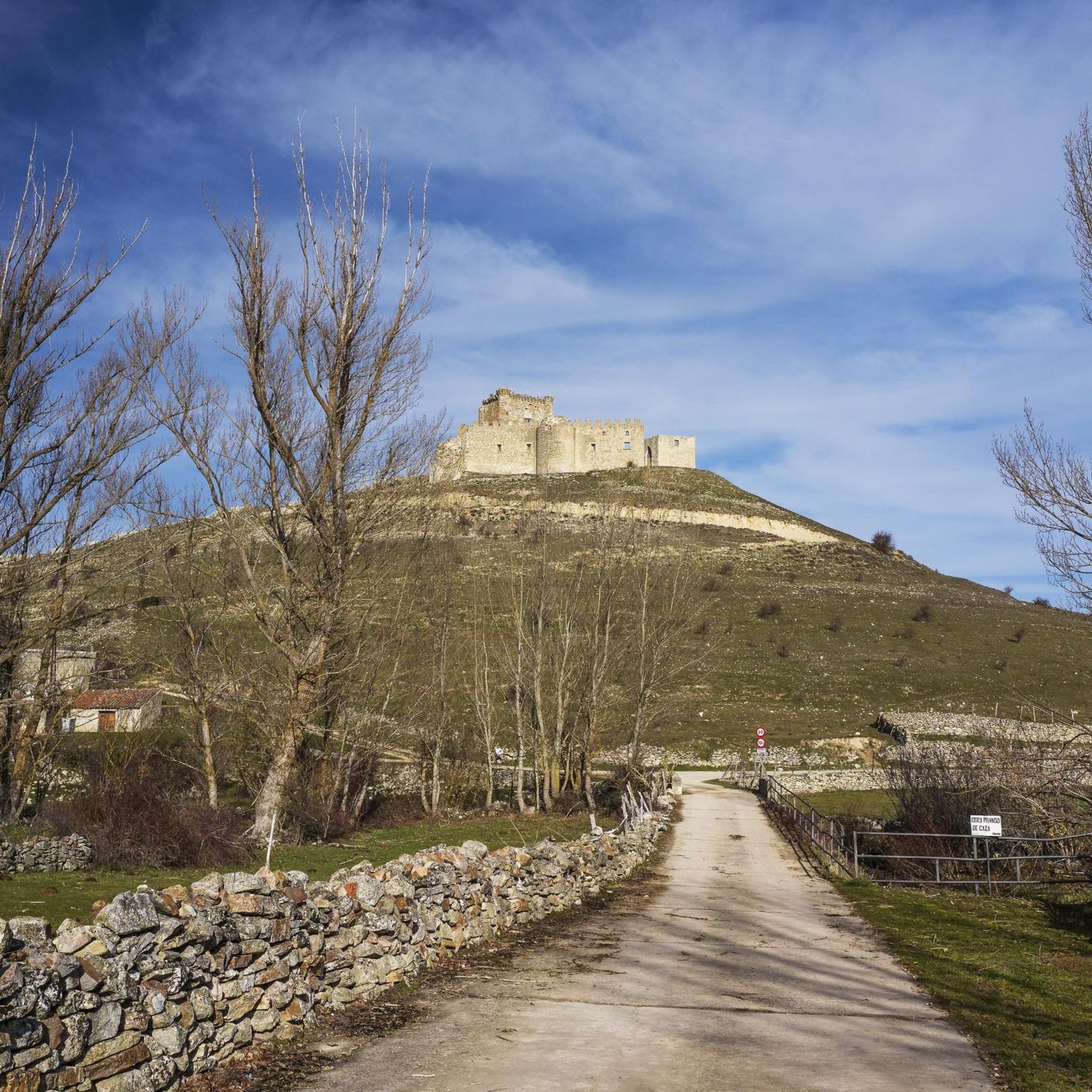
Puente del Cerezo
ハイライト • 橋
翻訳者 Google •
役立つ情報 は

無料でサインアップして、さらに多くの自然記念物を発見しましょう ガルベデソルベでの。
すでにアカウントをお持ちですか?
無料アカウントで今日から始めよう
次の冒険が待っています。

コミュニティからのヒント

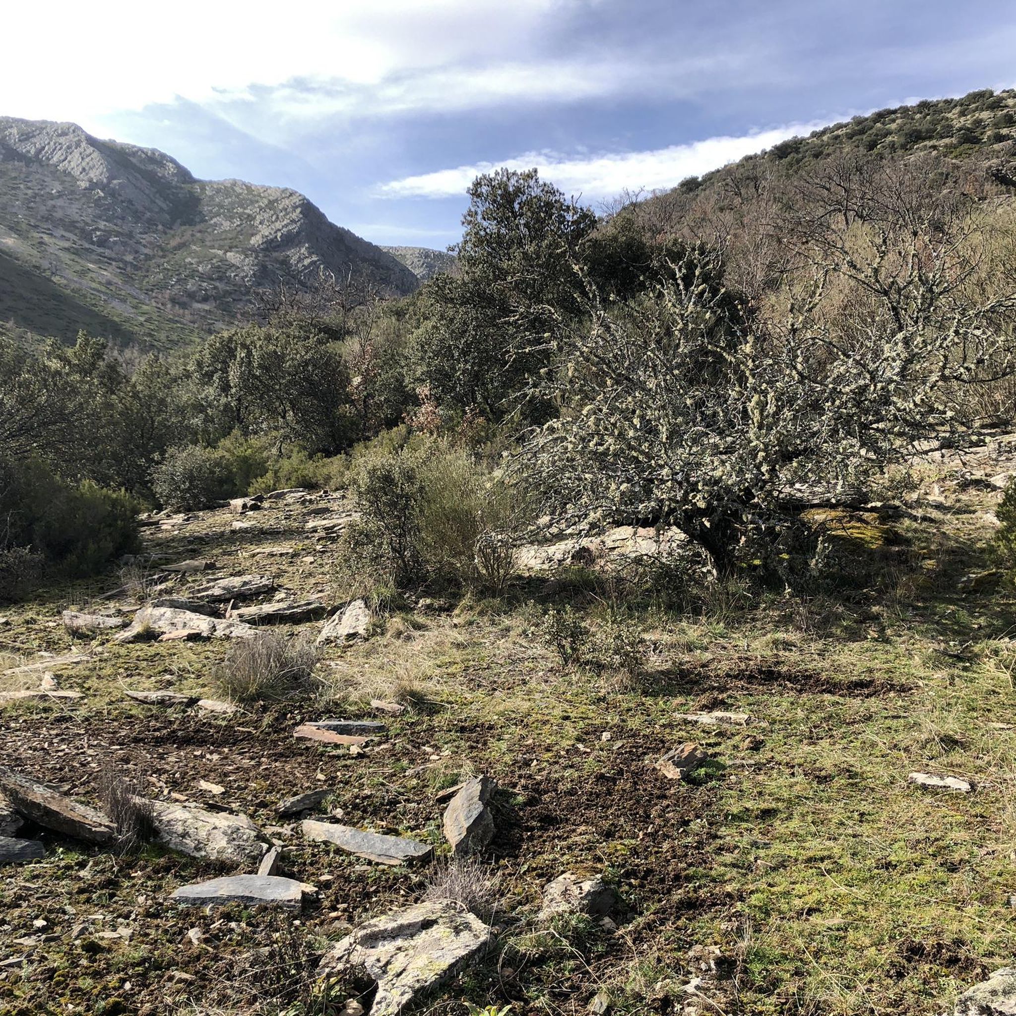
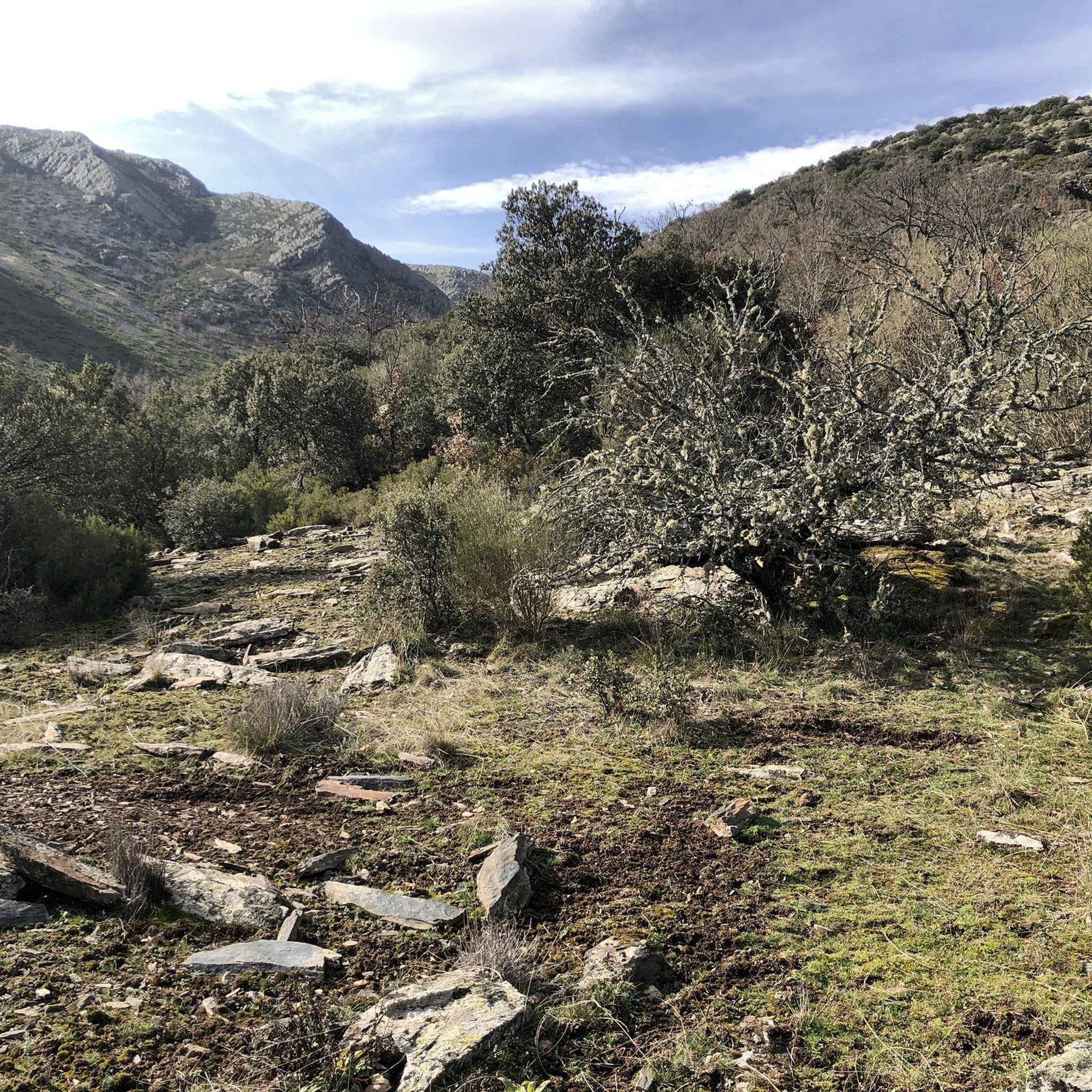
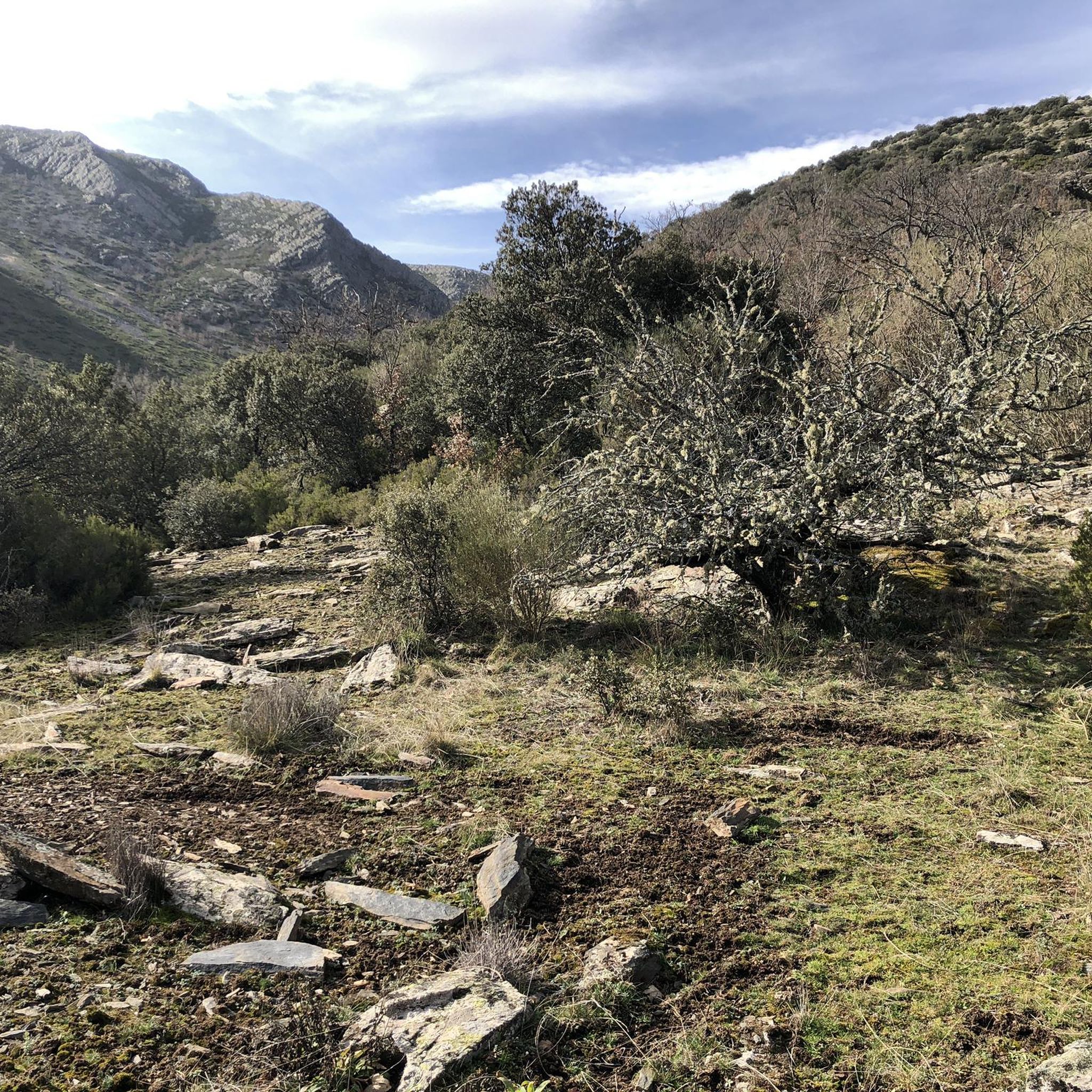
The source of the Aguisejo River is located in the Ayllón Mountains and rises from the confluence of several small rivers that originate on the peaks of this mountain range, which serves as a natural border between the provinces of Guadalajara, Segovia and Madrid.
0
0

The most popular route to ascend Pico Ocejón begins in Valverde de los Arroyos and is known for its scenic beauty and moderate difficulty. The hike is approximately 14.74 km and typically takes around 6 hours with stops. Along the way, hikers can enjoy spectacular views and the rich biodiversity of the area.
7
0

The climb is hard, but it is worth it. Although we were not lucky enough to see all the scenery that should be seen from that height. The descent is almost harder than the ascent.
1
0
The ridge meadow in Majaelrayo is a very popular hiking route in the Sierra Norte de Guadalajara, Castilla-La Mancha. This route is known for its impressive views and its connection to Pico Ocejón, one of the highest peaks in the area at 2,049 meters above sea level.
5
0
At 2049 metres above sea level, it is one of the highest and most popular peaks for hiking in the region. There are several routes to climb Pico Ocejón, the most common being those starting from Majaelrayo and Valverde de los Arroyos. Both routes offer stunning landscapes and the opportunity to enjoy nature at its best.
7
0
The Chorreras de Despeñalagua are an impressive set of waterfalls located in the Chorrera stream, a tributary of the Sorbe river, on the northern slope of the Ocejón peak near Valverde de los Arroyos. The waterfall has a height of about 120 meters and flows throughout the year, especially during the thaw season. In winter, frost is often found, which adds a magical touch to the landscape. The route to visit the Chorreras de Despeñalagua is simple and suitable for the whole family. The path, approximately 4.5 km, offers spectacular views and allows you to explore the streets and buildings of Valverde de los Arroyos. Also, on the way to the town, you will pass through other charming black towns such as Palancares, Almiruete and Tamajón. Definitely a destination worth exploring! 😊
8
0

Once the effort of the climb has passed, and the required photos have been taken, it is advisable to sit in the sun on the blackboards and enjoy the restorative food. But... if it's cold, quickly begin the descent to more protected heights.
2
1
A beautiful waterfall, with several sections of falls that bring the water down about 70 meters in height.
1
0
ガルベデソルベでのの人気観光スポット

komootモバイルアプリでインスピレーションを得よう


さらに探索
これらのガイドで、最高の洞窟を探す範囲を広げましょうガルベデソルベでの:
