グアダラハラの天然記念物・トップ8
グアダラハラが誇る美しい風景を見てみたいなら、グアダラハラの素晴らしい天然記念物・トップ8
に行ってみましょう。あなたにぴったりの場所が見つかるよう、素晴らしい天然記念物を探索するために必要なすべての情報を集めました。次のアウトドアの冒険に出かける計画の参考にしましょう。
最終更新日: 10月 17, 2026
ピコ・デル・アギラ
ハイライト • 山頂
翻訳者 Google •
役立つ情報 は

フエンテ・デ・ラ・アレグリア
ハイライト • 自然記念物
翻訳者 Google •
役立つ情報 は

今すぐサインアップして、こんな場所を発見しよう
最高のシングルトラック、ピーク、その他のエキサイティングなアウトドアスポットのおすすめを受け取ろう。
クエバス・ブランカスの岩層
ハイライト • 自然記念物
翻訳者 Google •
役立つ情報 は

自然の展望台から見たエナレス川の眺め
ハイライト • 展望台
翻訳者 Google •
役立つ情報 は

Cueva del Pastor
ハイライト • 洞窟
翻訳者 Google •
役立つ情報 は
無料でサインアップして、さらに多くの自然記念物を発見しましょう グアダラハラでの。
すでにアカウントをお持ちですか?
無料アカウントで今日から始めよう
次の冒険が待っています。

コミュニティからのヒント

If you go in summer or when it's hot, go up the shady side, it's all covered with pine trees.
0
1

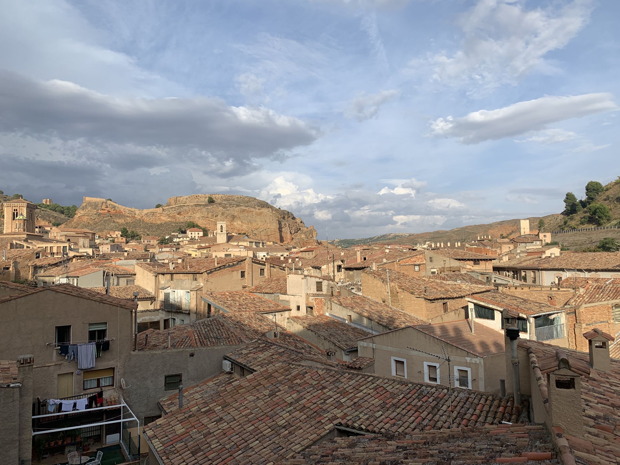
The narrow ravines of Pezuela that fall towards the valley of the Tajuña river are rich in clays and dolomitic limestones from the Miocene, a top quality raw material for cooking in lime kilns and making mortars and construction materials. Pezuela had several Moorish kilns for plaster and lime until the sixties of the last century. There are remains of the installations and cavities of the mines in Cuevas Blancas and other slopes of the plains, although they have little identity and complicated location, they are cultural landscapes because they condense the popular wisdom of an essential trade in the life of the rural world.
0
0
The Cueva del Pastor shelter is a curious geological formation, there are not many such natural shelters in the area, it is located at the passage of several cattle drives and it would surely be a small cavity under the limestone slab and with the passage of centuries and the constant use by the shepherds, enabling space and comfort inside, it has become a good shelter for shepherds, farmers and hikers.
0
0

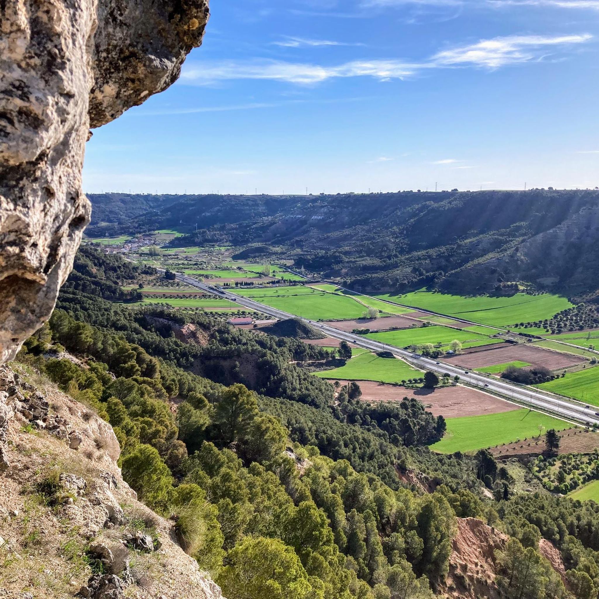
An extraordinary viewpoint of Guadalajara and in the distance of Madrid. Also from the neighboring Peña Hueva, Iriepal and the Torija Valley with the A2 Highway
2
0

A high point on the route along the banks of the Henares River, which serves as a natural viewpoint. From this point we can observe the waters of the river.
2
0

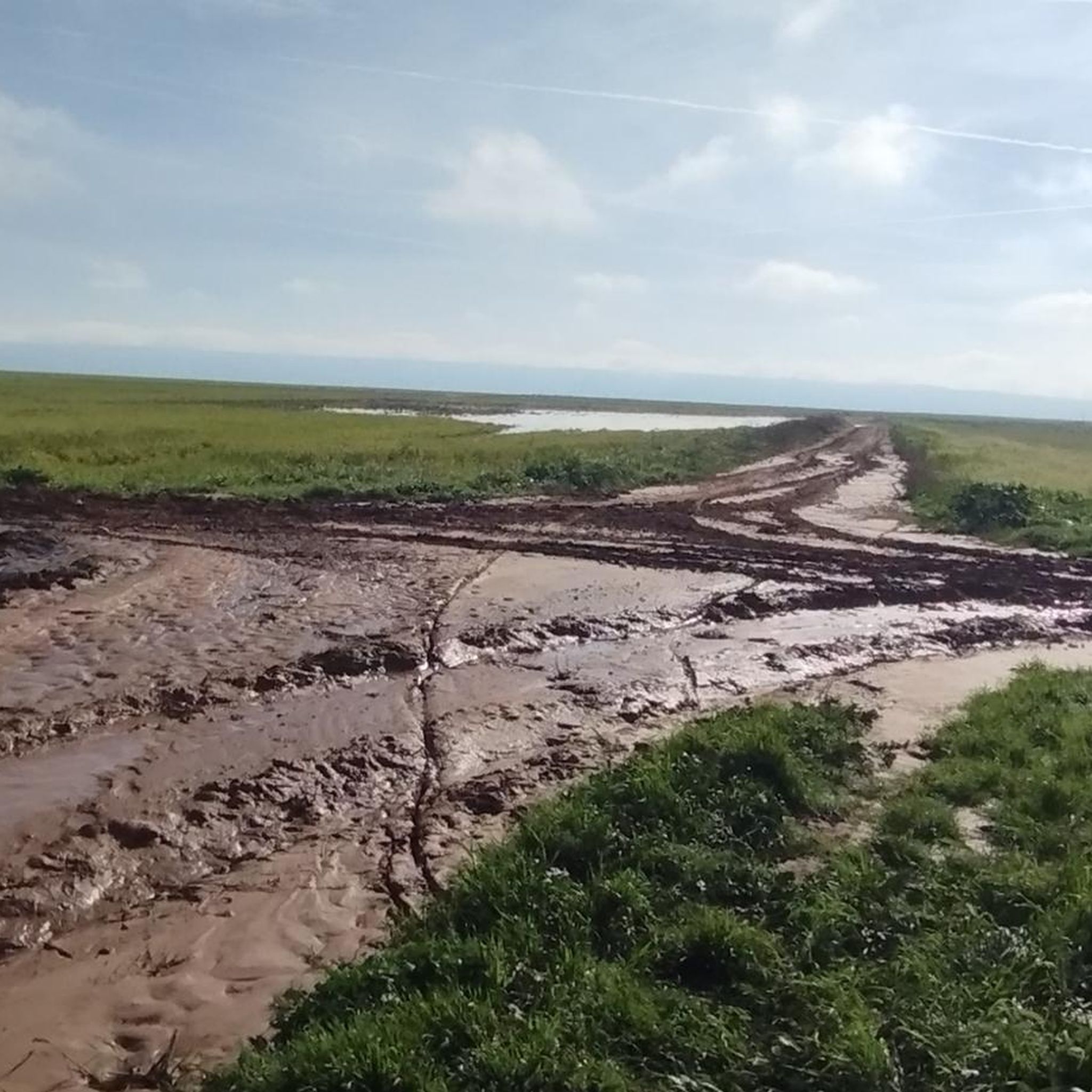
Waterfall and fountain are a few meters from each other
0
0

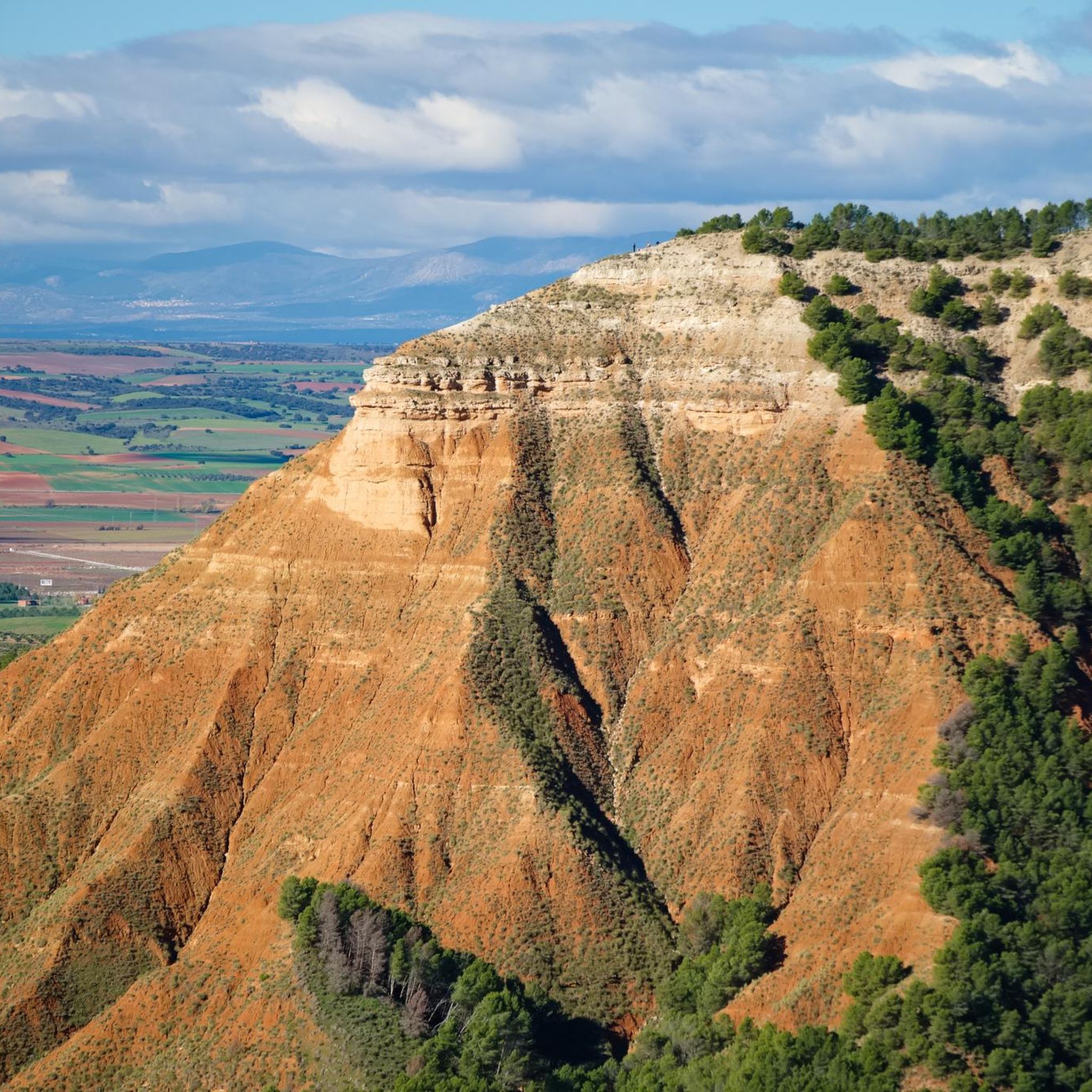
The Pico del Águila ("Eagle's Peak") is an approximately 970 m high mountain on the northern edge of the La Alcarria plateau in the Spanish province of Guadalajara. The mountain is about 20 km north-east of the provincial capital of Guadalajara, which is about 700 m high. The mountain breaks off to the north through a striking, approx. 200 m high steep slope that can be seen from afar. To the east and west it slopes more gently and wooded into the valley of Valdenoches, which has been a suburb of Guadalajara since 1969. [wp:de]
1
0

Durilla route ... very demanding last sections you have to have strong legs.
1
0
グアダラハラでのの人気観光スポット

komootモバイルアプリでインスピレーションを得よう


さらに探索
これらのガイドで、最高の洞窟を探す範囲を広げましょうグアダラハラでの:
