ラガリーガの天然記念物・トップ20
ラガリーガが誇る美しい風景を見てみたいなら、ラガリーガの素晴らしい天然記念物・トップ20
に行ってみましょう。あなたにぴったりの場所が見つかるよう、素晴らしい天然記念物を探索するために必要なすべての情報を集めました。次のアウトドアの冒険に出かける計画の参考にしましょう。
最終更新日: 10月 17, 2026
バルフォルネス貯水池
ハイライト • 湖
翻訳者 Google •
役立つ情報 は

サン・ミケル・デル・ファイ道路
ハイライト • サイクリングロード
急な坂道が欲しい気分なら、小さな道を進むことができます。最初は悪く見えますが、岩が多く路面が悪いのは最初の数百メートルだけです。その後、狭いですが良い道に変わります。
ただし、カーブでは車に注意してください。あまりスペースがありません。
最終的に、道は主要道路に再び接続され、そこから村までコーヒーやボカディロのために下り坂を戻ることができます。本当に素敵なループです。
翻訳を表示中
役立つ情報 は

今すぐサインアップして、こんな場所を発見しよう
最高のシングルトラック、ピーク、その他のエキサイティングなアウトドアスポットのおすすめを受け取ろう。
サンミケルデルファイ修道院とサルデラグアの滝
ハイライト • 宗教的な場所
翻訳者 Google •
役立つ情報 は
ラ・トロナ(シングレス・デ・ベルティ)
ハイライト • 登山
翻訳者 Google •
役立つ情報 は

パルク・デル・ファルガー・イ・ラ・ヴェルネダの湖
ハイライト • 湖
翻訳者 Google •
役立つ情報 は
無料でサインアップして、さらに多くの自然記念物を発見しましょう ラガリーガでの。
すでにアカウントをお持ちですか?
無料アカウントで今日から始めよう
次の冒険が待っています。

コミュニティからのヒント

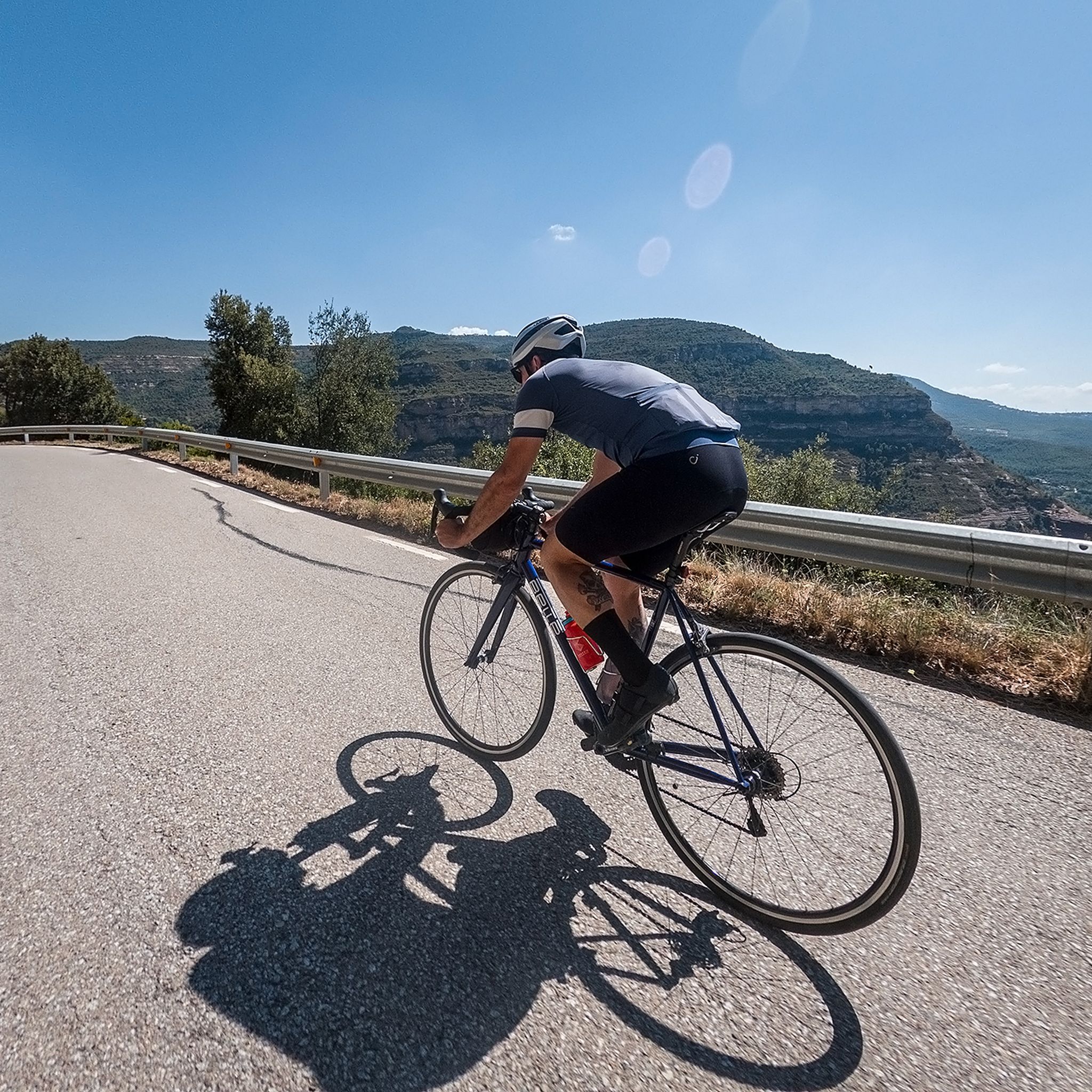
A real discovery! Superb views, decent asphalt and virtually no cars.
0
0


Good park, both in summer and winter
0
0

GOOD track, recommended for outdoor sports, and for all audiences 👍
0
0

Especially if it has rained, it is spectacular
0
0

It is formed by a belt of mountains, hills and serrados from the so-called Pla de la Calma to Cuch, among which we can highlight Roca Centella, Mojó, Turó Monner, Puig del Sui (with 1322 m. altitude), Turó de Cuch (where the termini of Cánoves, Tagamanent, Montseny and San Pedro de Vilamajor face each other), and the Sierra de los Vallestrins, in the center of which stands the farmhouse of Vallforners, half fortress, half forest house, on the way of the Pla de la Calma, built by Señor de Tagamanent and restored by his son, Dalmau de Rocabertí, from the family of the counts of Peralada, in 1610.
21
0
The reservoir is 1.1 km long, with a capacity of 2.3 hm³, capable of irrigating up to 500 hectares of crops and supplying water to the extraordinary consumption of Cánoves and Cardedeu. Nearby is the Can Cuc chestnut tree, a monumental tree with a diameter of 14 m and a height of 15 m. Inside it is said that a charcoal burner once lived. The reservoir can store 2,300,000 m³ of water, which allows it to irrigate 500 ha. of crops, and even, extraordinary consumption of the populations of Cánoves and Cardedeu. For this reason, the municipalities of the two towns are part of the Irrigation Community.
22
1
The Vallforners reservoir is a Spanish hydraulic infrastructure built in the Cánoves stream, within the municipality of Cánoves, in the Vallés Oriental region, in the province of Barcelona, Catalonia. It is located in the Montseny massif, between the Ombradors and Palestrins mountains. Downstream is the town of Cánoves. Upstream, the La Calma plain, in the Montseny natural park. The culminating point of the valley is the Puig de Sui, with 1322 m of altitude. The reservoir belongs to the municipality of Cánoves, in the Vallés Oriental region. It was built between 1985 and 1989 and its special feature is the fact that it was the first reservoir in Catalonia with a stone dam and compacted earth. It has a width of 10 m at the crest, with an impermeable clay core. The dam has been used to raise a small hill on which trees have been planted.
23
0

komootモバイルアプリでインスピレーションを得よう


さらに探索
これらのガイドで、最高の洞窟を探す範囲を広げましょうラガリーガでの:
