バリラナの天然記念物・トップ20
バリラナが誇る美しい風景を見てみたいなら、バリラナの素晴らしい天然記念物・トップ20
に行ってみましょう。あなたにぴったりの場所が見つかるよう、素晴らしい天然記念物を探索するために必要なすべての情報を集めました。次のアウトドアの冒険に出かける計画の参考にしましょう。
最終更新日: 8月 25, 2026
ゴルグ・デ・ラ・モラ
ハイライト • 峡谷
翻訳者 Google •
役立つ情報 は

Salt de l'Aiguaの滝
ハイライト • 滝
翻訳者 Google •
役立つ情報 は

今すぐサインアップして、こんな場所を発見しよう
最高のシングルトラック、ピーク、その他のエキサイティングなアウトドアスポットのおすすめを受け取ろう。
無料新規登録
モレラ山頂
ハイライト • 山頂
この山の頂上は、長距離遊歩道(GR-92 地中海遊歩道)のブルゲルスからガラフまでの第21区間が通っています。そこでは、カステルデフェルスにあるカル・ガンショ環境活動センターからラ・モレジャまでを結ぶ6.1キロメートルの短距離遊歩道(SL-C 99)と合流します。GR-92をガラフの町に向かって進むと、3.5キロメートル先にガラフ公園の情報センター「ラ・プレタ」があります。
翻訳を表示中
役立つ情報 は

リェーラ・デ・バリビドレラ
ハイライト • 川
Aware of
Edit
The Vallvidrera stream, also known as the Rierada, is a tributary along the left bank of the river Llobregat and the only permanent watercourse in the Collserola Park.
翻訳者 Google •
役立つ情報 は
プイグ・マドローナ山頂
ハイライト • 山頂
翻訳者 Google •
役立つ情報 は
無料でサインアップして、さらに多くの自然記念物を発見しましょう バリラナでの。
無料新規登録
すでにアカウントをお持ちですか?
無料アカウントで今日から始めよう
次の冒険が待っています。
ログインまたは登録
コミュニティからのヒント

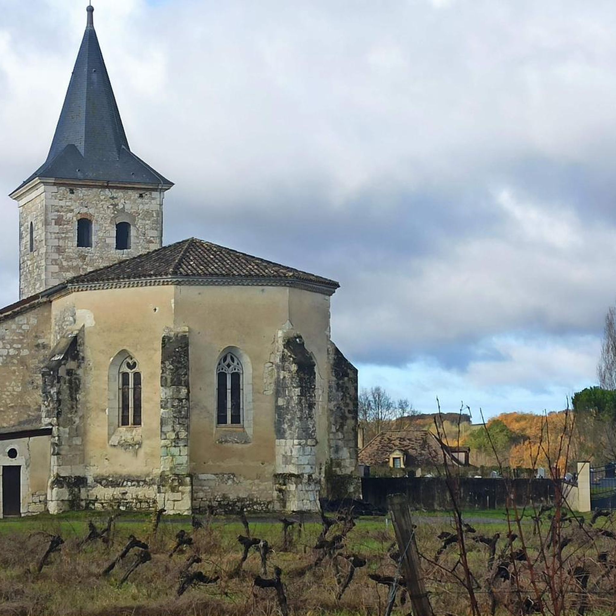
Hape Kerkeling, a well-known entertainer in the German-speaking world, wrote down some thoughts about a mystical experience (encounter with God) while traveling through Spain, which I would also like to offer to the viewer of this small sacred monument: "To encounter God, one must first extend an invitation to him, for he will not come uninvited. It is also a form of good manners. We have free choice. He builds an individual relationship with each person. Only someone who truly loves is capable of this." (Hape Kerkeling in "Ich bin dann mal weg")
1
0

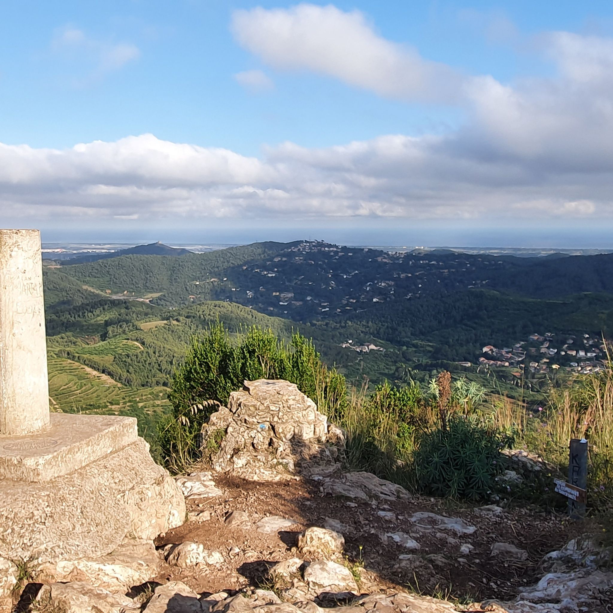
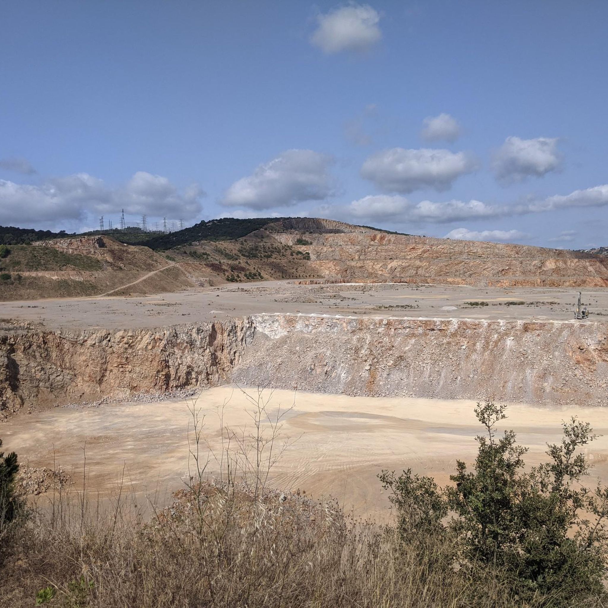
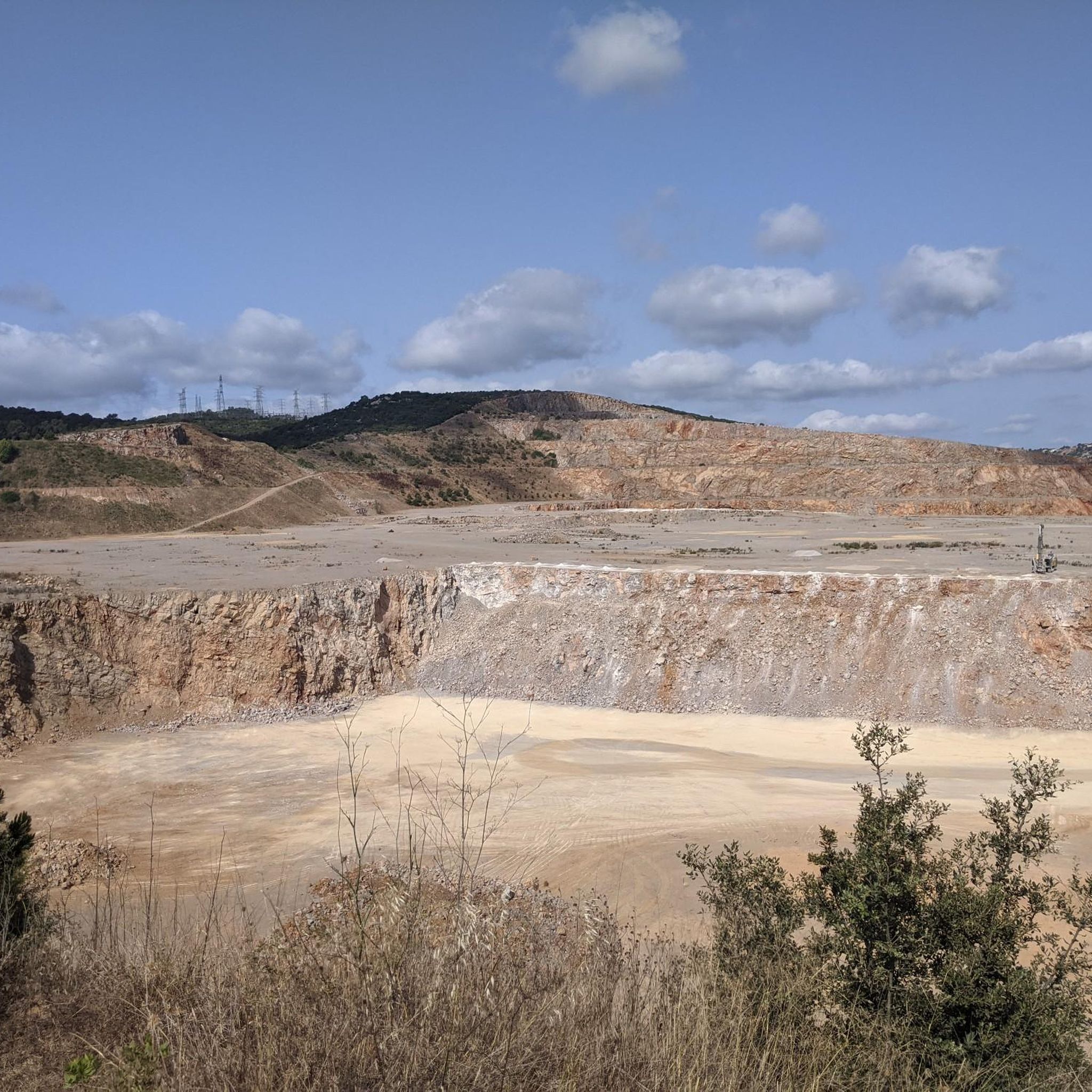
ラ・モレジャは、モンタウに次いでガラフ山塊で2番目に高い頂上(標高593.6メートル)で、バイシュ・リョブレガット郡のベゲス市内に位置しています。その周辺にはいくつかのシンカ(陥没穴)があります。また、現在修復中のガラフの旧埋立地の末端もあります。頂上には測地基準点があります。この頂上はFEECの「100の頂上」リストに含まれています。 この山の頂上は、長距離遊歩道(GR-92 地中海遊歩道)のブルゲルスからガラフまでの第21区間が通っています。そこでは、カステルデフェルスにあるカル・ガンショ環境活動センターからラ・モレジャまでを結ぶ6.1キロメートルの短距離遊歩道(SL-C 99)と合流します。GR-92をガラフの町に向かって進むと、3.5キロメートル先にガラフ公園の情報センター「ラ・プレタ」があります。
12
0


To get to the top, I went along the Ratpenat road until a detour that goes there. The entire route is accessible by bike except for going up to the peak of the mountain, where you have to go downhill and push it along a complicated path, especially at the highest part. The views are worth it!!
5
0

Puig de la Morella (594 m) is the highest point of the massif and we can see both the coastal side and the interior, the Llobregat deltaic plain, Collserola and the Marina mountain range. If you're lucky and it's a good day, let's see if you can identify the distant peaks of Pica d'Estats or Canigó. You have an interpretive panel to help you. You are still in the term of Begues. The GR that you have probably been following is the 92-del Mediterrani. Stage 21 from Bruguers to Garraf. If you follow the direction of Garraf, you will arrive in 40 minutes at La Pleta where there is the modernist farmhouse, the offices and the information center of the park. You are in one of the most important karst areas in Catalonia. Its appearance, in contrast with nearby mountain ranges on the other side of the Llobregat, has nothing to do with the climate but with the edaphic and geological characteristics. For the same reasons we will find unique specimens, both flora and fauna. From the margallo to the population of bats that live in the more than 400 cavities found. In 1992, the Garraf was included in the Areas of Natural Interest Plan (PEIN) of the Generalitat. The park is currently part of the Natural Spaces Network promoted and managed by the Barcelona Provincial Council and covers an area of nearly 12,400 hectares. At the top is a monstrous white geodesic vertex of all sorts of gallifardeus. Peak included in the list of 100 peaks of the F.E.E.C. https://www.feec.cat/activitats/100-cims/cim/la-morella/
1
0
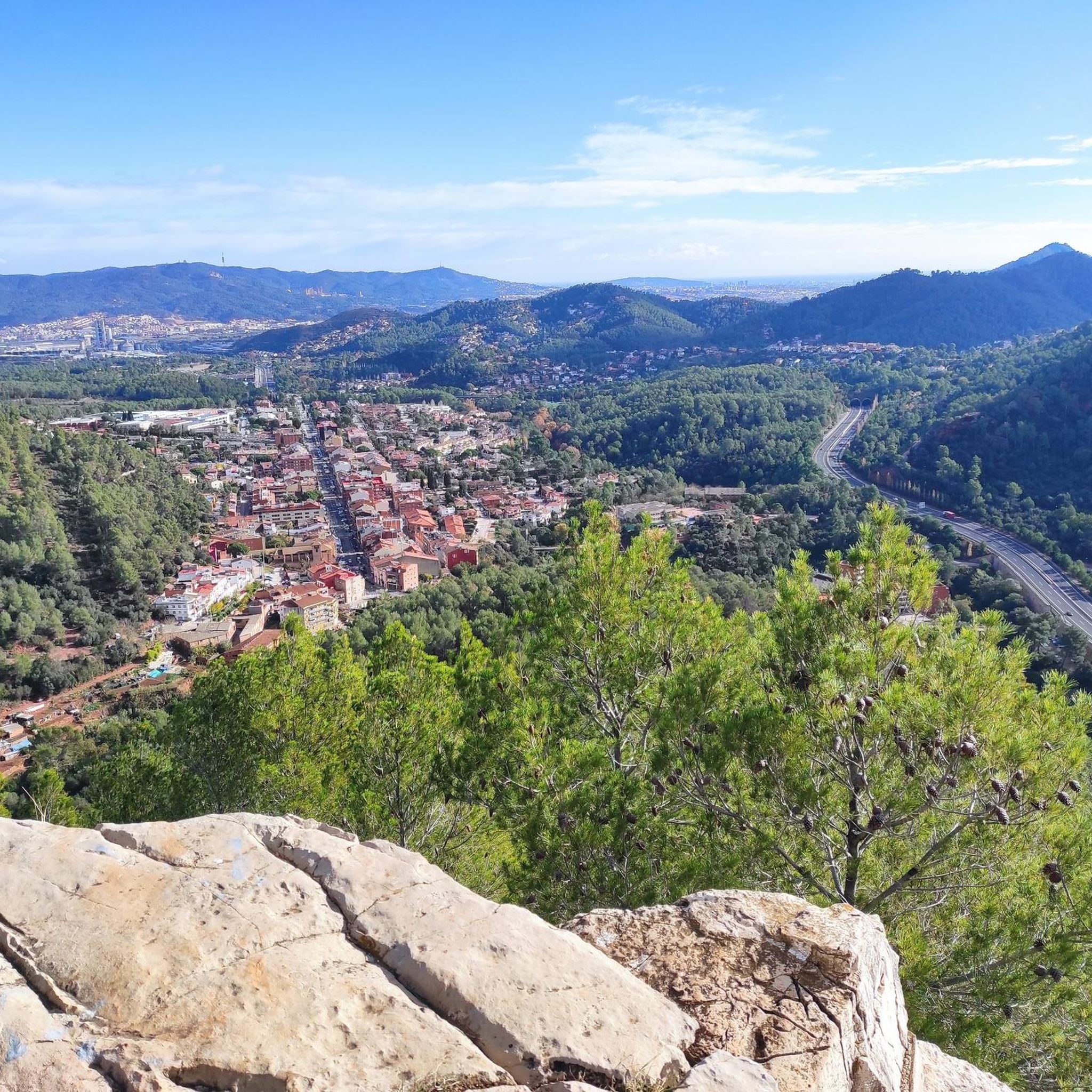
Peak of 341 m. altitude, located between the municipalities of Papiol and Sant Cugat del Vallès, in the Collserola mountain range. At the highest part there is a 16 meter high fire watch tower, and at its foot there is the Hermitage of Health and the geodesic vertex 286123001. It is also known of the existence of a Iberian town on top of the hill. The place is a splendid viewpoint of the Baix Llobregat, the ridge of Collserola, the mountains of Montserrat, Sant Llorenç del Munt and Vallès beyond to Montseny. The importance of this natural space is evidenced in recent studies, such as the one that indicates the presence of interesting lichens. In particular, it is important, due to its uniqueness, the first appointment for Catalonia, in terms of cryptogamic flora, of the species "Porina byssophila". This was detected in the lichen surveys in the Escletxes de Papiol and Puigmadrona, and 38 saxicolous and terrestrial lichens have been catalogued, of which 32 are new taxa for the flora of the Collserola Park, such as the one mentioned (Bolea, et al .: 2010: 354). It is the highest point that dominates the entire municipality. This peak is included in the list of the 100 peaks of the FEEC. https://www.feec.cat/activitats/100-cims/cim/puig-madrona/
1
0
Exuberant and shady corner where we will definitely forget that we are close to Barcelona. We are in one of those spaces that alone justify a trip. The stream forms a small jump thanks to an artificial lock built in the s. XIX that brought water from the stream through a pipe, which we can still see on one side of the jump, to the Can Planes mill. We can go down to the small pond that forms the caient, where, in the summer, the little ones can still take a bath. El Salt is surrounded by lush and shady vegetation, with bananas, oaks and oaks that bring freshness in the summer. It is one of the most crowded places in Collserola due to its proximity and ease of access.
2
1

With the 🚴♂️ going up rat penat and going down through begues behind the ball, I only got off at the morella and bike on my back, then lowered it but it is the highest point of the garraf (in buegues the mountain that does not belong if it would not be higher ) Spectacular views from La Morella
1
2

komootモバイルアプリでインスピレーションを得よう


さらに探索
これらのガイドで、最高の洞窟を探す範囲を広げましょうバリラナでの:
