サンクリストーボデセアの天然記念物・トップ5
サンクリストーボデセアが誇る美しい風景を見てみたいなら、サンクリストーボデセアの素晴らしい天然記念物・トップ5
に行ってみましょう。あなたにぴったりの場所が見つかるよう、素晴らしい天然記念物を探索するために必要なすべての情報を集めました。次のアウトドアの冒険に出かける計画の参考にしましょう。
最終更新日: 7月 28, 2026
アウトアリス温泉
ハイライト • 自然記念物
The price is affordable and if you have time, it is worth stopping to enjoy its hot waters.
翻訳者 Google •
役立つ情報 は

バルバンティーニョの滝
ハイライト • 滝
In times of heavy rains, this waterfall, 15 …
翻訳者 Google •
役立つ情報 は

今すぐサインアップして、こんな場所を発見しよう
最高のシングルトラック、ピーク、その他のエキサイティングなアウトドアスポットのおすすめを受け取ろう。
無料新規登録
アウトアリスとブルガ・デ・カネドの温泉
ハイライト • 自然記念物
The hot springs have changing rooms with lockers and a walkway …
翻訳者 Google •
役立つ情報 は
アウトアリスの温泉池
ハイライト • 自然記念物
歩道橋からは、すべての施設(西側の大きな施設、東側の岩場にあるプールと休憩所、そして小さなプールがある施設)がよく見えます。
翻訳を表示中
役立つ情報 は

モンテ・ファロ山頂と展望台
ハイライト • 山頂
翻訳者 Google •
役立つ情報 は

無料でサインアップして、さらに多くの自然記念物を発見しましょう サンクリストーボデセアでの。
無料新規登録
すでにアカウントをお持ちですか?
無料アカウントで今日から始めよう
次の冒険が待っています。
ログインまたは登録
コミュニティからのヒント

石造りのプールがある施設で、(おそらく一時的に)温水/熱水が利用可能、レストランとトイレ設備、そして数多くのベンチとテーブルがある休憩所があります。Miño川の方向には、岸辺近くの丸い岩の間に温泉があり、その水は素敵に石造りされた小さなプールに導かれています。さらに西へ、歩道橋をくぐると、温水と冷水のある大きな石造りのプール、トイレ設備、日光浴場、監視員を備えた広範囲で完全な施設があり、これまでは自由にアクセスできました。 歩道橋からは、すべての施設(西側の大きな施設、東側の岩場にあるプールと休憩所、そして小さなプールがある施設)がよく見えます。
1
0

Located on the banks of the Miño River, in the Outariz area, west of Ourense, right on the city's "Thermal Promenade." Parking: The Outariz/Reza parking lot (on the opposite bank) is available, as the Muiño da Veiga parking lot is closed for renovations. Public transport: City bus line 5; the unique Thermal Train, which stops at the facility.
1
0


It is a beautiful waterfall located on the Barbantiño River, in the province of Ourense, Galicia. With a waterfall of about 20 meters, it is one of the most impressive natural landscapes in the area. Surrounded by a lush and green environment, the waterfall is ideal for those who enjoy hiking and contact with nature.
1
0
They are one of the most popular thermal complexes in the city. These open-air thermal baths have several natural hot water pools, with temperatures around 38-41ºC, known for their therapeutic and relaxing properties thanks to their high mineral content. The complex is inspired by Japanese baths, and offers both free access in public areas and a private paid area. The Termas de Outariz are part of the thermal circuit of Ourense, famous for its tradition of spas and hot springs, making them an ideal destination for well-being and relaxation.
0
0
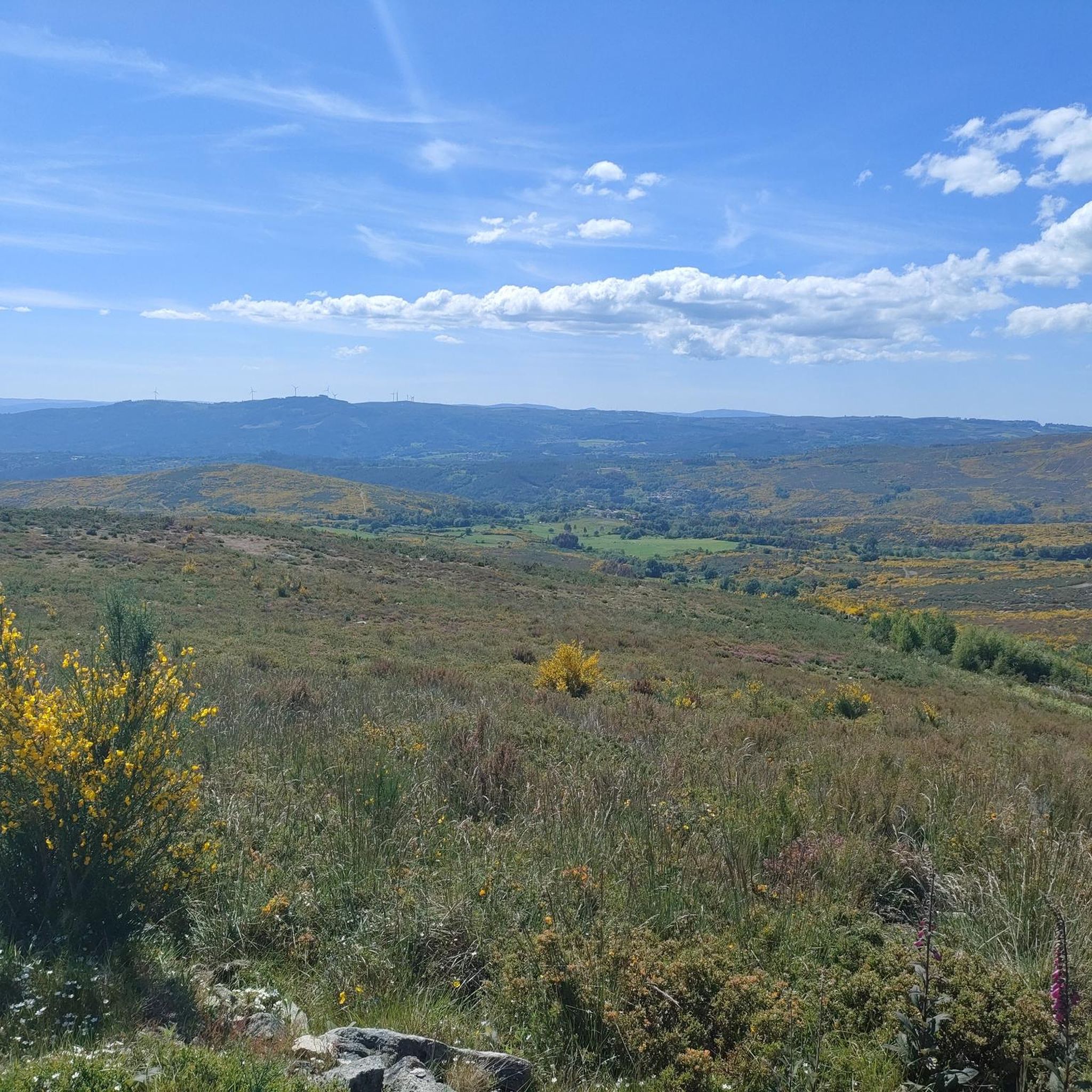
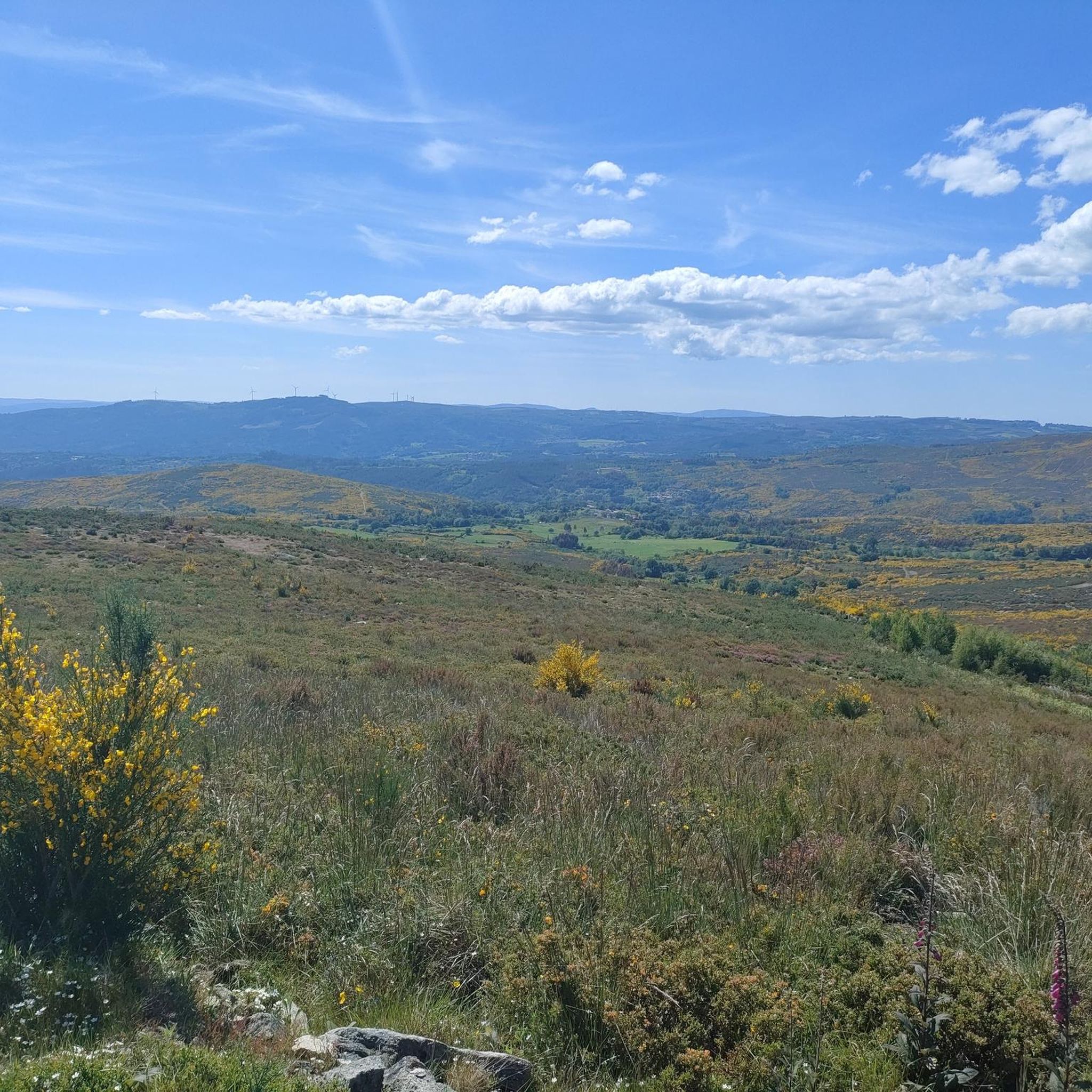
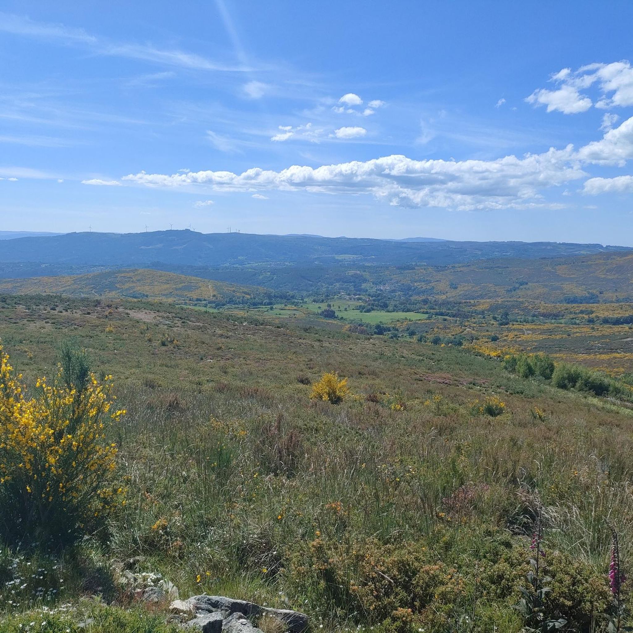
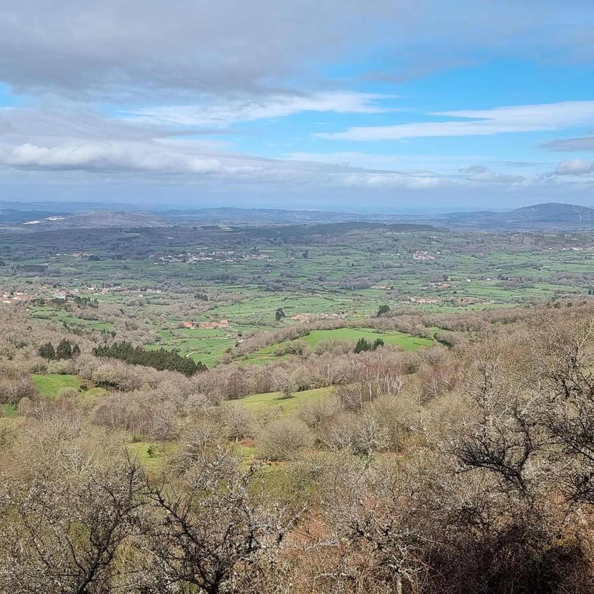
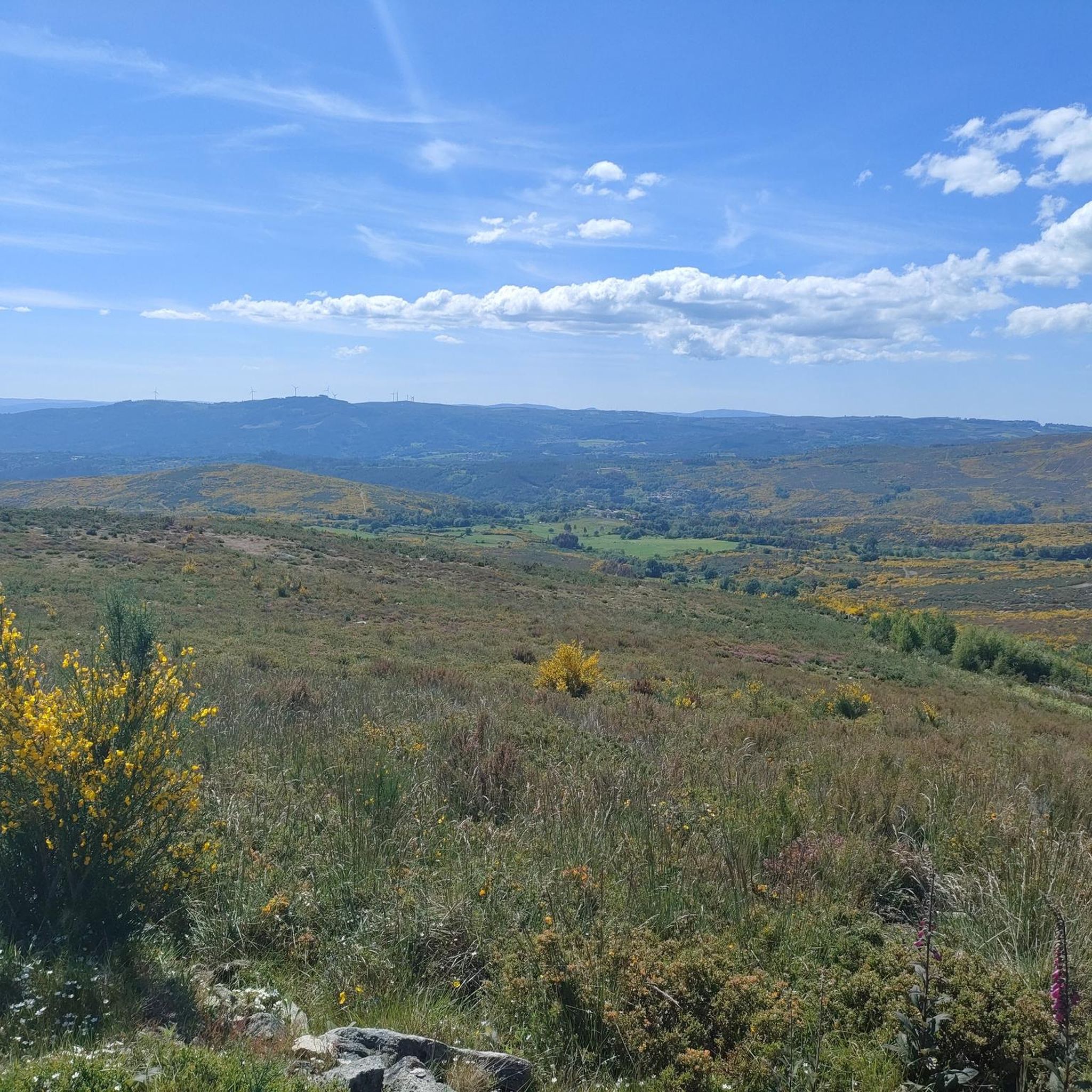
The hermitage and recreational area at the top offer wide panoramic views. Furthermore, according to calculations made by César Parcero, a CSIC scientist, Monte Faro is the most visible point in Galicia, from where a larger area of the territory can be observed. A stunning place to enjoy nature and views! 🌄
8
0
Monte Faro (also known as Monte do Faro) is the highest peak in the Faro mountain range, with an altitude of 1,187 meters. This natural area is declared a special area of conservation (ZEC). The mountain marks the limit of natural separation between the municipalities of Chantada and Rodeiro, and from its summit you can see the four Galician provinces
8
0
サンクリストーボデセアでのの人気観光スポット

komootモバイルアプリでインスピレーションを得よう


さらに探索
これらのガイドで、最高の洞窟を探す範囲を広げましょうサンクリストーボデセアでの:
