パリャジャーの峠・トップ6
風景を楽しんだり、上りや下りを満喫したり、峠には楽しみ方がたくさんあります。パリャジャーの素晴らしい峠の一覧を参照して、思い出に残るアドベンチャーに出かけましょう。コミュニティのメンバーがコミュニティのために投稿した峠のハイライトは、他のユーザーが実際におすすめする情報なので、どれも信頼できるものです。気に入った峠にさっそく向かってみましょう。
最終更新日: 8月 25, 2026
アルト・デ・ラ・クレウ・ダラガル(標高537 m)
ハイライト • 山道
翻訳者 Google •
役立つ情報 は

アルト・デ・レス・バシオレス
ハイライト • 山道
翻訳者 Google •
役立つ情報 は

今すぐサインアップして、こんな場所を発見しよう
最高のシングルトラック、ピーク、その他のエキサイティングなアウトドアスポットのおすすめを受け取ろう。
無料新規登録
カン・ボルニ峠
ハイライト (セグメント) • 山道
翻訳者 Google •
役立つ情報 は

プエルト・バリビデラ - ティビダボ
ハイライト • 山頂
翻訳者 Google •
役立つ情報 は

コル・デル・ポルテル
ハイライト • 山道
翻訳者 Google •
役立つ情報 は

無料でサインアップして、さらに多くの山道を発見しましょう パリャジャーでの。
無料新規登録
すでにアカウントをお持ちですか?
無料アカウントで今日から始めよう
次の冒険が待っています。
ログインまたは登録


コミュニティからのヒント


Connection point for tracks and trails next to the road
0
0

This climb is an alternative to the main port of Can Borni, avoiding the passage through the popular fountain and considerably reducing the demands of the original route. It starts from the Carretera de les Aigües and detours towards the Escola Judicial, passing by the fire station, reducing the slope and connecting with BV-1418 (photo CC BY-NC-ND 2.0, Ajuntament Barcelona).
1
0

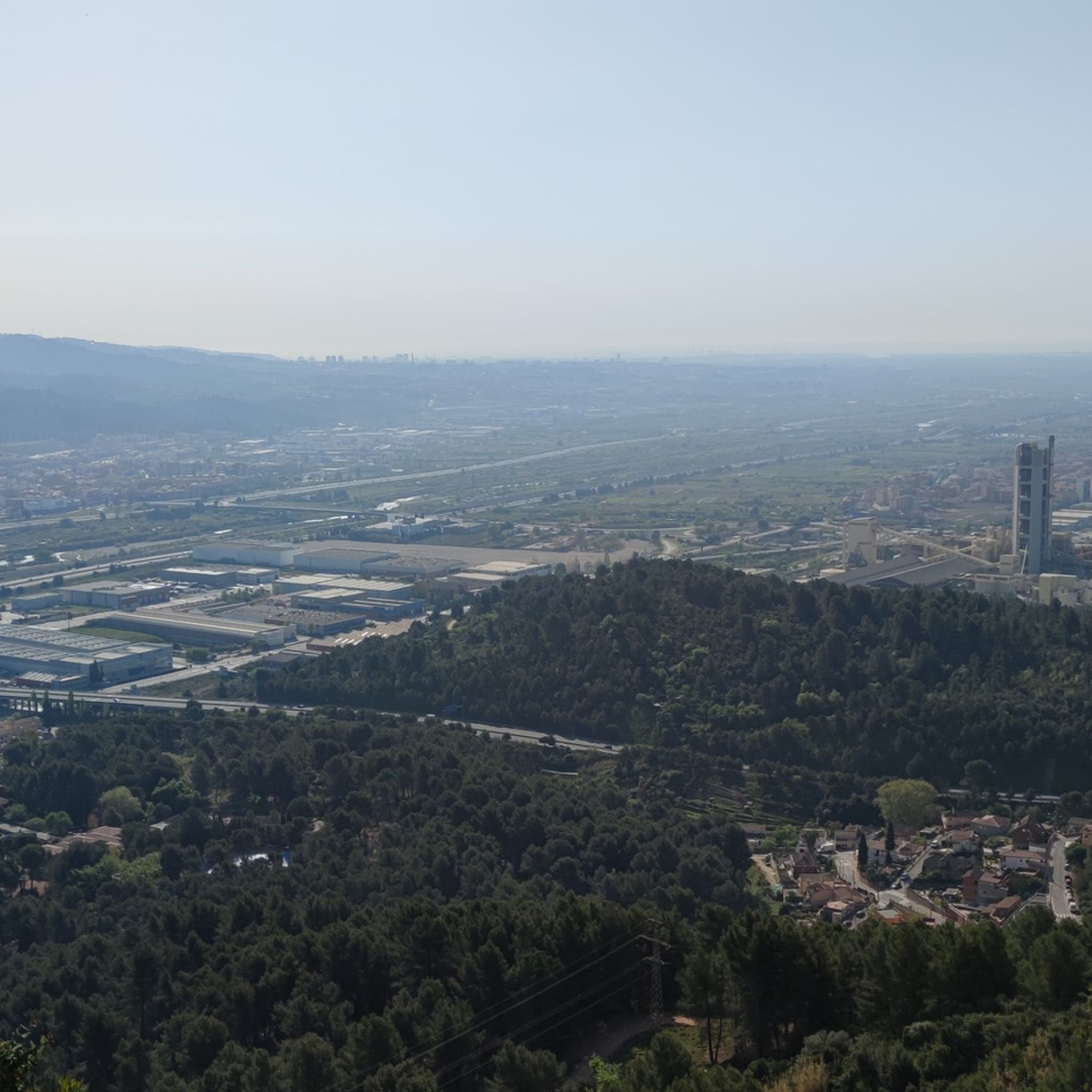
It is a small hill that separates the towns of Olesa de Bonesvalls and Vallirana, crossing several housing estates. It usually has little traffic. The road is in perfect condition on both sides. The Olesa side is irregular, with hard areas and rest areas, crossing a pine forest at the beginning and, in the final part, the previously mentioned housing estates. It has a couple of hard ramps. The Vallirana side has an initial part on the l'Ordal road, a national road with a lot of traffic. Afterwards, take a detour to the left, cross a cement factory and face the last 2 kms, the hardest by far, where you gain a lot of altitude to enjoy the views of the valley.
0
0


Challenging climb due to high gradient at times, with little traffic.
0
0
It is a very pleasant and quiet climb that connects Gelida with the area of Corbera de Llobregat and Palma de Cervelló. The two slopes are very fun and shady, the Gelida slope being more constant and the Corbera slope with steps. At the top of the port there is a very legendary bar where you usually stop to have a coffee... or eat something else.
0
0

Local road that allows you to go from Vallirana to Olesa de Bonesvalls that goes up a short but intense port that reaches 16% ramps.
0
0

komootモバイルアプリでインスピレーションを得よう


さらに探索
これらのガイドでさらに壮大な山道を見てみましょうパリャジャーでの:
