ルート

プランナー

機能

アップデート

App

ログインまたはサインアップ

アプリを入手

ログインまたはサインアップ

ルート
Places to see
Natural Monuments
スペイン
カタルーニャ
ジローナ
Baix Emporda

グアルタ

グアルタの天然記念物・トップ20


グアルタが誇る美しい風景を見てみたいなら、グアルタの素晴らしい天然記念物・トップ20
に行ってみましょう。あなたにぴったりの場所が見つかるよう、素晴らしい天然記念物を探索するために必要なすべての情報を集めました。次のアウトドアの冒険に出かける計画の参考にしましょう。

最終更新日: 8月 25, 2026

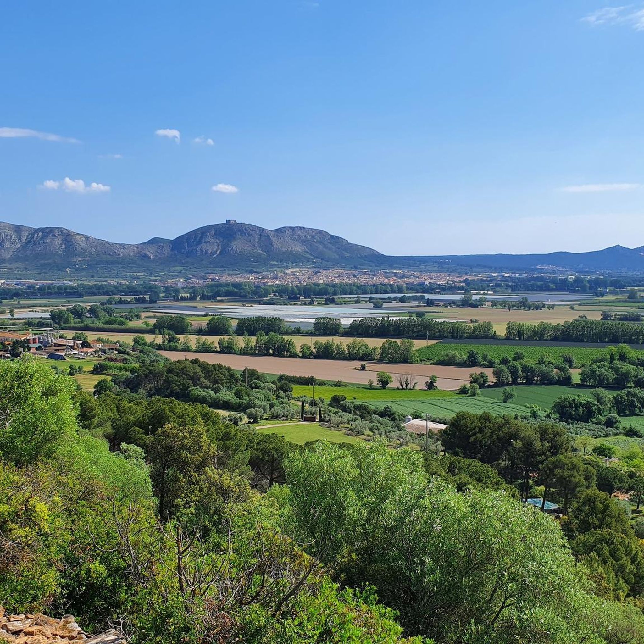
モントプラ山頂

ハイライト • 山頂

The Montgrí massif culminates in the Montplà summit. Taking into account that the surrounding towns are at sea level, its 310 meters give it a 360 degree panoramic view. In …

翻訳者 Google •

役立つ情報

によるものです

ここでのハイキングを見る

スマートフォンに送信

保存

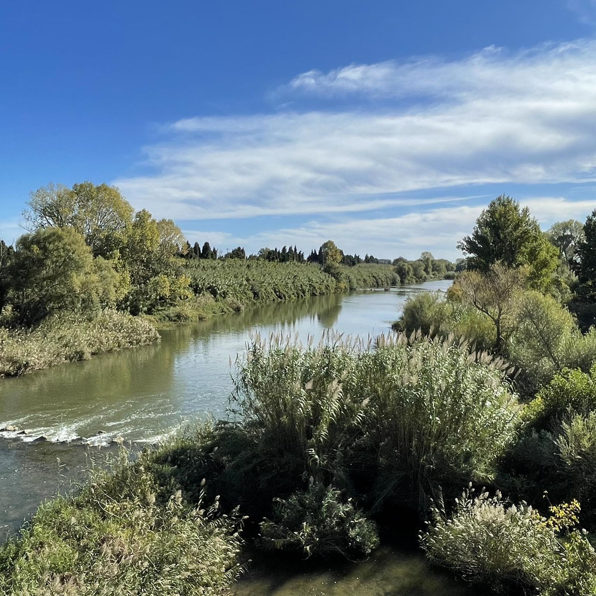
ラ・ゴラ・デル・テル

ハイライト • 川

Inlet of the Riu Ter on a beautiful stretch of beach.
Very good paved path.
Storage space for bicycles

翻訳者 Google •

役立つ情報

によるものです

保存

今すぐサインアップして、こんな場所を発見しよう

最高のシングルトラック、ピーク、その他のエキサイティングなアウトドアスポットのおすすめを受け取ろう。

無料新規登録

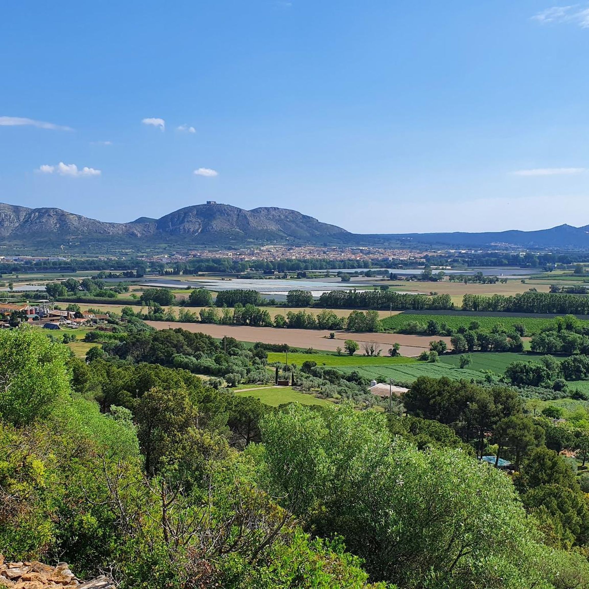
Cross located at the foot of the Montgrí castle and in the direction of the hermitage of Santa Caterina. It has stunning views.

翻訳者 Google •

役立つ情報

によるものです

保存

プンタ・ベントーサ展望台

ハイライト • 展望台

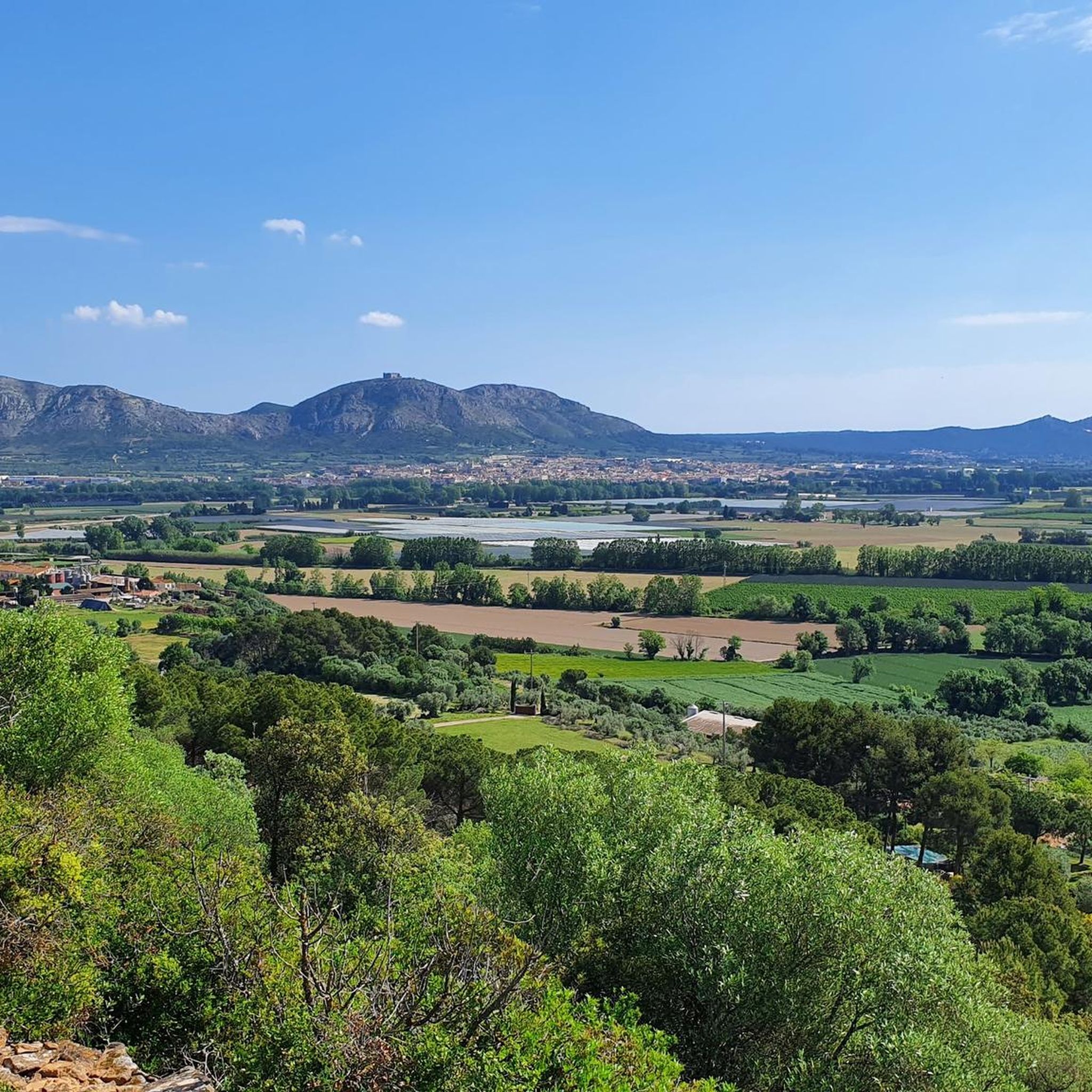
In this place are the remains of the bunkers of the Spanish civil war, although that lacks interest compared to the incredible panoramic views that are obtained from here. There …

翻訳者 Google •

役立つ情報

によるものです

保存

カラ・デル・サルパイグ

ハイライト • ビーチ

Half of the Cami de Ronda runs along the coast. Here you have constant fantastic views of the Costa Brava.

翻訳者 Google •

役立つ情報

によるものです

保存

無料でサインアップして、さらに多くの自然記念物を発見しましょう グアルタでの。

無料新規登録

すでにアカウントをお持ちですか?

無料アカウントで今日から始めよう

次の冒険が待っています。

ログインまたは登録
グアルタ周辺で人気

グアルタでのサイクリング

グアルタでのハイキング

グアルタのランニングコース

グアルタのMTBトレイル

グアルタのロードバイクルート

グアルタでののグラベルライド

グアルタでの登山&山歩き

コミュニティからのヒント

Vera
11月 12, 2025, La Gola del Ter

The mouth is difficult to cross with luggage or a bicycle.

Google翻訳による翻訳

0

0

frajo
4月 10, 2025, La Gola del Ter

The river mouth cannot be crossed by bicycle, at least not with an e-bike. There are several meters of water between them, making it impossible for me to carry my bike that far. The water is at least 50 cm deep, and the current is strong. It was too dangerous for me.

Google翻訳による翻訳

0

1

just beautiful and enjoy the view!

Google翻訳による翻訳

0

0

beautiful view

Google翻訳による翻訳

0

0

Or lift your bicycle and you can easily cross

Google翻訳による翻訳

1

0

Beautiful beach. The cycle path suggested by Komoot from L-Estartit to Playa de Pals via the mouth of the Rio Ter is rather difficult, as you have to carry the bike through the river. The water is 50-60 cm deep at the mouth, the bottom is sandy. Continuing south is also only possible after about 500 m, until then the bike has to be pushed through loose sand.

Google翻訳による翻訳

2

0

nice walk from the emporda campsite, but allow more time to tour the castle

Google翻訳による翻訳

1

0

Spectacular view of the Mediterranean, access by track in good condition. One of the many viewpoints on the Costa Brava.

Google翻訳による翻訳

0

0

グアルタでのの人気ルート

グアルタの交通量の少ないサイクリング

グアルタでのの人気観光スポット

Places to see

Store rating

komootモバイルアプリでインスピレーションを得よう

無料のkomootアカウントがあれば、無限のアウトドアコースを簡単に見つけてカスタマイズし、ナビで案内できます。

または

今すぐkomootに参加しよう

Store rating

さらに探索

これらのガイドで、最高の洞窟を探す範囲を広げましょうグアルタでの:

DelMontgrí、Les Illes Medes I El Baix TerParcNaturaldelMontgrí、les Illes Medes i el Baix TerアルボンウラTorroellaDeMontgríForallacBellcaireD'EmpordàLaTalladaD'Empordàフォンタニーユパラオ-サトール仲間トレントLaBisbalD'EmpordàモンラスベグルパラフルゲルCastell-Platja D'AroウラストレットパラモースVall-LlobregaRegencósサンタクリスティーナダロカロンジCruïlles、MonellsISantSadurníDeL'HeuraSantFeliuDeGuíxolsガリゴレスセラデダロ間際コルサles GavarresFoixàVilopriuルピアラペラパラヴァウルトラモルトジャフレコロマー

近くのアドベンチャーガイド

フォンタニーユでやるべきこと

background

新しいピークを征服する準備をしよう

無料でサインアップ

探検する
ルートルートプランナー機能バウチャーを利用ハイキングMTBトレイルロードバイクルートバイクパッキングサイトマップ
アプリをダウンロード
SNSでフォローする

© komoot GmbH

プライバシーポリシー