オルティンゲンの峠・トップ10
風景を楽しんだり、上りや下りを満喫したり、峠には楽しみ方がたくさんあります。オルティンゲンの素晴らしい峠の一覧を参照して、思い出に残るアドベンチャーに出かけましょう。コミュニティのメンバーがコミュニティのために投稿した峠のハイライトは、他のユーザーが実際におすすめする情報なので、どれも信頼できるものです。気に入った峠にさっそく向かってみましょう。
最終更新日: 10月 13, 2026
ザールホーヘ峠
ハイライト • 山道
翻訳者 Google •
役立つ情報 は

ベルヒェンフルーへのハウエンシュタイン軍用道路
ハイライト (セグメント) • トレイル
翻訳者 Google •
役立つ情報 は

今すぐサインアップして、こんな場所を発見しよう
最高のシングルトラック、ピーク、その他のエキサイティングなアウトドアスポットのおすすめを受け取ろう。
ベンカーヨッホ峠
ハイライト • 山道
翻訳者 Google •
役立つ情報 は

ベンカーヨッホ
ハイライト • 山道
翻訳者 Google •
役立つ情報 は

シュタッフェレッグ峠(621m)
ハイライト (セグメント) • 山道
役立つ情報 は

無料でサインアップして、さらに多くの山道を発見しましょう オルティンゲンでの。
すでにアカウントをお持ちですか?
無料アカウントで今日から始めよう
次の冒険が待っています。
コミュニティからのヒント


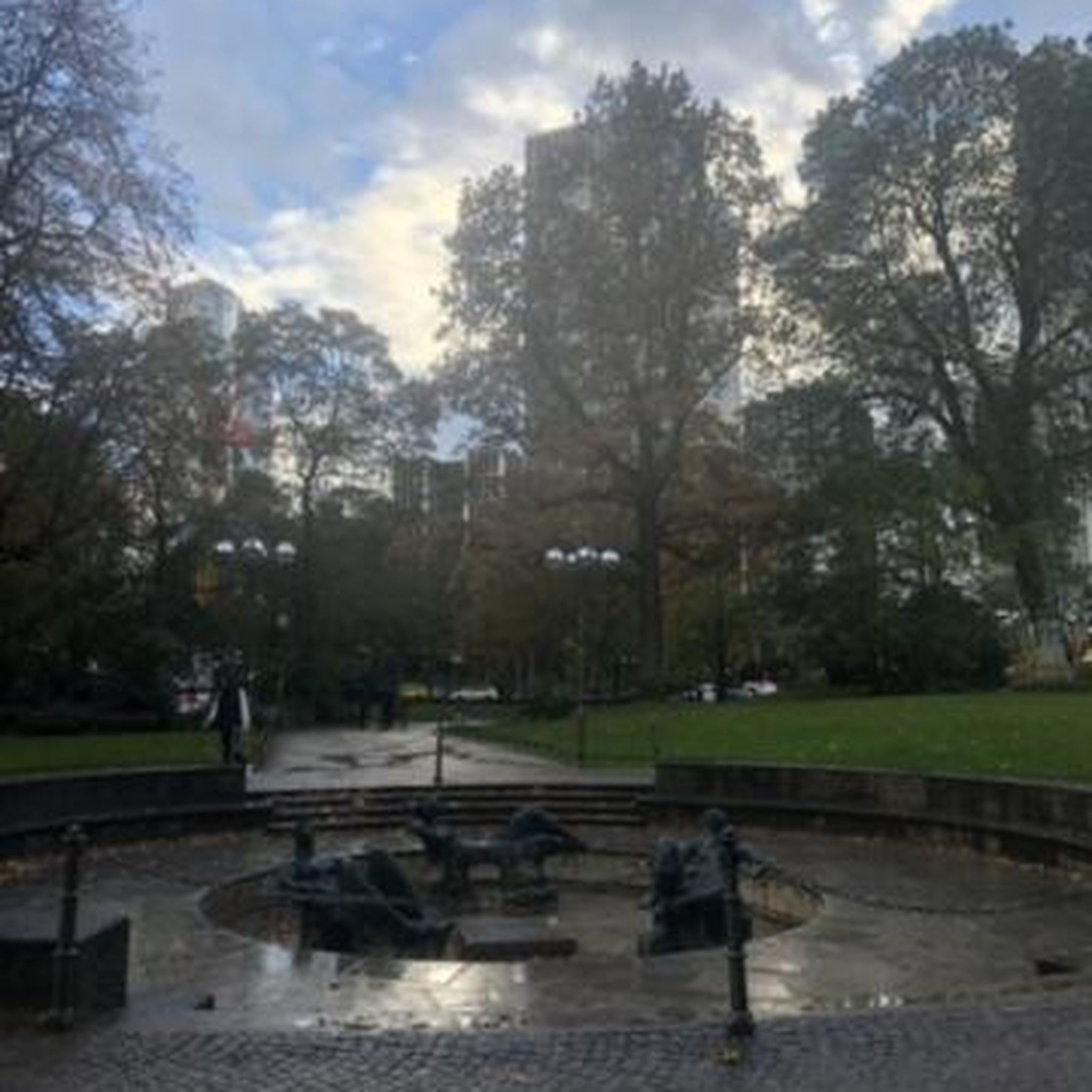
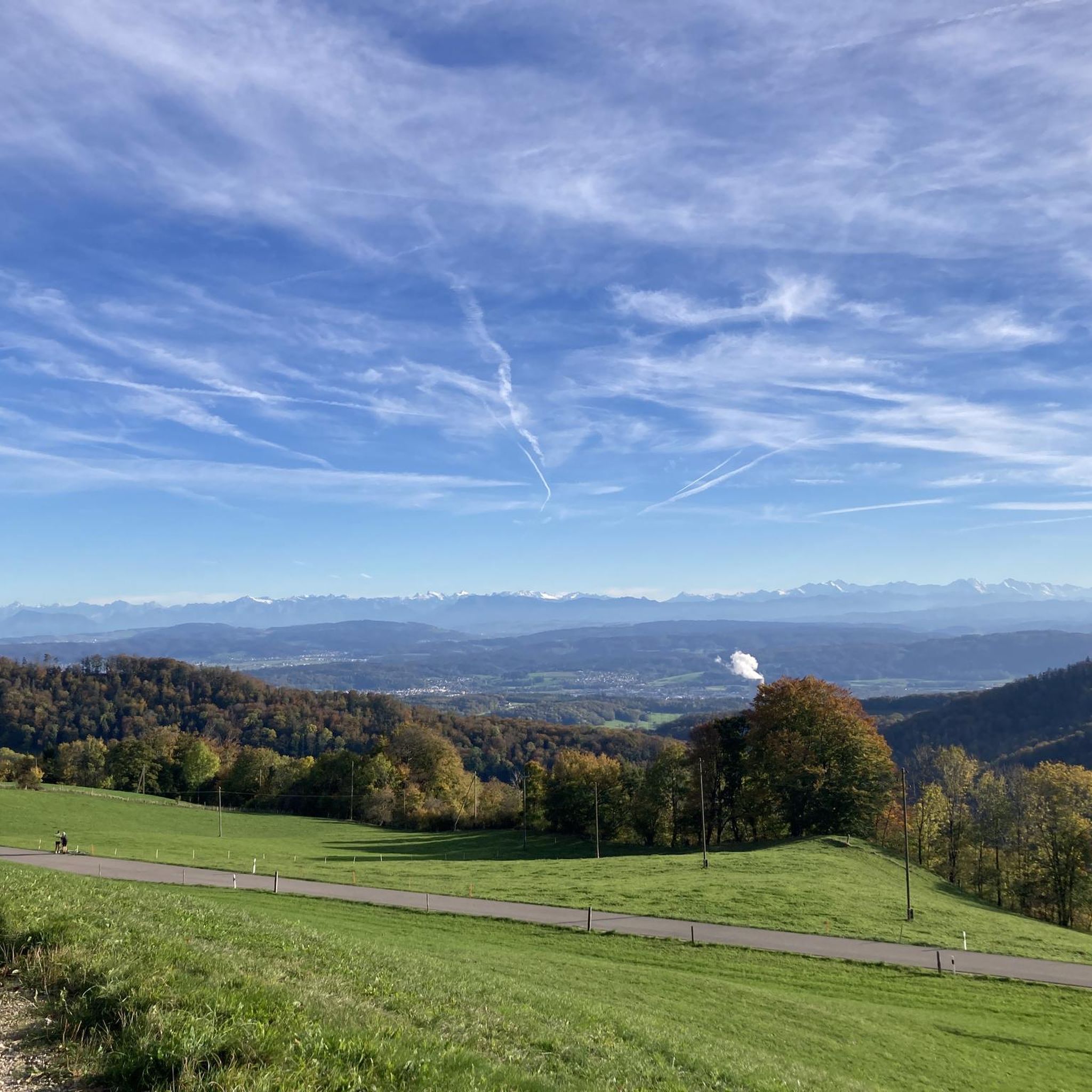
From the barbecue area south of the car park, a cool S1 trail leads down towards Fischbach/Küttigen. Via Gipsi... Can also be easily ridden uphill (with an e-bike). You then don't have to ride all the way up the pass road... From Küttigen, follow the dirt road to the right at the Fischbach bus stop. After the Gipsi there is a sharp left turn, then after 100m turn right up the trail... Have fun!
1
0

Interesting route, pleasant climb
0
0

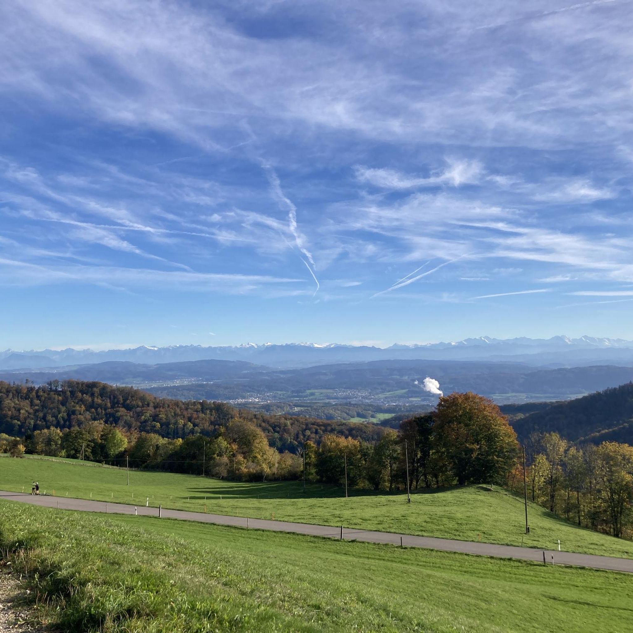
An extremely suitable starting point (free parking and public transport) for wonderful hikes to the highest point in Aargau, Geissfluegrat, even with a summit book, or in the other direction to Wasserflue with a fantastic view. You can cross three cantons here with little effort. If you can, you should avoid weekends and public holidays. There are a lot of people on the road and the motorcyclists are a particular nuisance, racing up and down the road at extremely high speeds and with a noise like that at the Nürburgring. "Safety first" is literally a foreign word for some people.
4
0

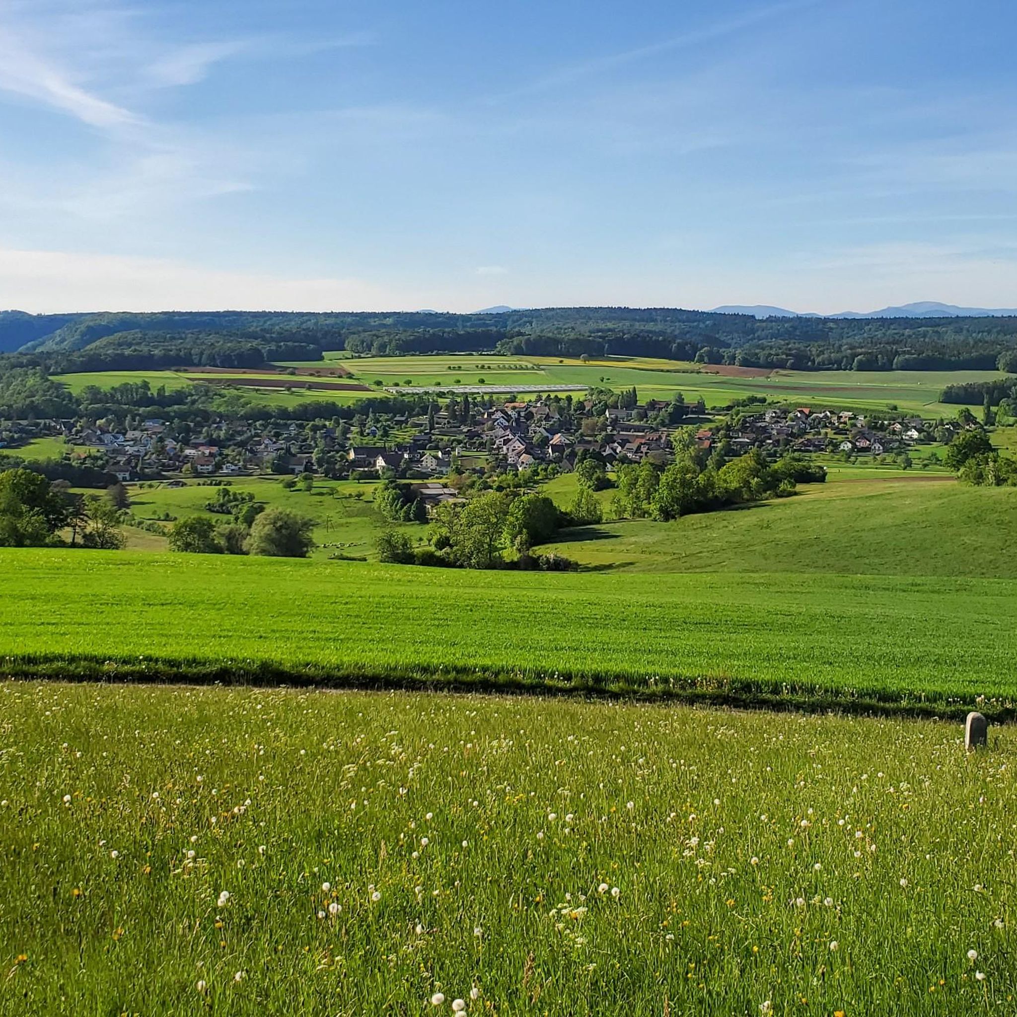
This pass in the canton of Aargau connects Aarau and Frick. Thanks to the parallel Staffelegg, which takes most of the traffic, this pass has relatively little traffic. Located just below the Wasserflue mountain (866 m), there are many hiking opportunities.
2
0

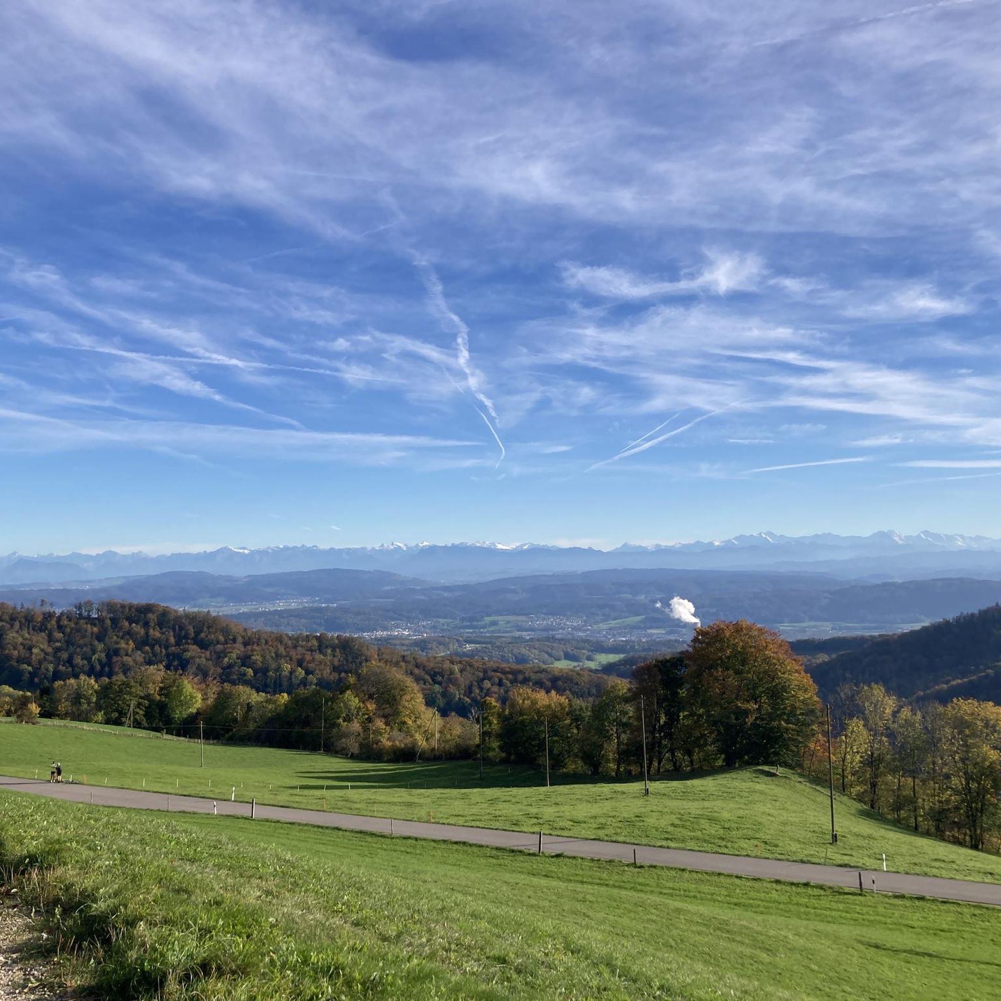
The former supply route for the fortifications built in the Hauenstein area during the First World War runs between Ifenthal and the Belchenflue. As the “Hauenstein Fortification” they are part of recent Swiss history. The aim of the building was to prevent enemy incursions into the Swiss plateau and to protect the Olten railway junction. Immediately after the general mobilization on August 1, 1914, soldiers began construction. This mountain road has existed in practically unchanged form since 1915, the year it was completed. The most striking section is between the Chambersberg and the Belchenflue, where the road had to be built into the rock. Other engineering structures worth mentioning are dry-walled retaining walls and drainage and, finally, the numerous colorful cantonal coats of arms and troop inscriptions that commemorate the builders. The well-preserved monument of handcrafted road construction resembles Alpine mountain passes in many places and offers numerous viewpoints into the Central Plateau. At the end you will find the viewpoint on the Belchenflue.
1
0

komootモバイルアプリでインスピレーションを得よう


さらに探索
これらのガイドでさらに壮大な山道を見てみましょうオルティンゲンでの:
