ボドの天然記念物・トップ10
ボドが誇る美しい風景を見てみたいなら、ボドの素晴らしい天然記念物・トップ10
に行ってみましょう。あなたにぴったりの場所が見つかるよう、素晴らしい天然記念物を探索するために必要なすべての情報を集めました。次のアウトドアの冒険に出かける計画の参考にしましょう。
最終更新日: 10月 15, 2026
ケイセルヴァルデン山頂
ハイライト • 山頂
翻訳者 Google •
役立つ情報 は

サルトストラウメンの大渦潮
ハイライト • 自然記念物
翻訳者 Google •
役立つ情報 は

今すぐサインアップして、こんな場所を発見しよう
最高のシングルトラック、ピーク、その他のエキサイティングなアウトドアスポットのおすすめを受け取ろう。
サルトストラウメン潮流表
ハイライト • 休憩所
saltstraumen.info/Velkommen/saltstraumtabellen
翻訳者 Google •
役立つ情報 は

ヴァルネスフォッセン滝
ハイライト • 滝
役立つ情報 は

ポットホール
ハイライト • 自然記念物
翻訳者 Google •
役立つ情報 は

無料でサインアップして、さらに多くの自然記念物を発見しましょう ボドでの。
すでにアカウントをお持ちですか?
無料アカウントで今日から始めよう
次の冒険が待っています。
コミュニティからのヒント

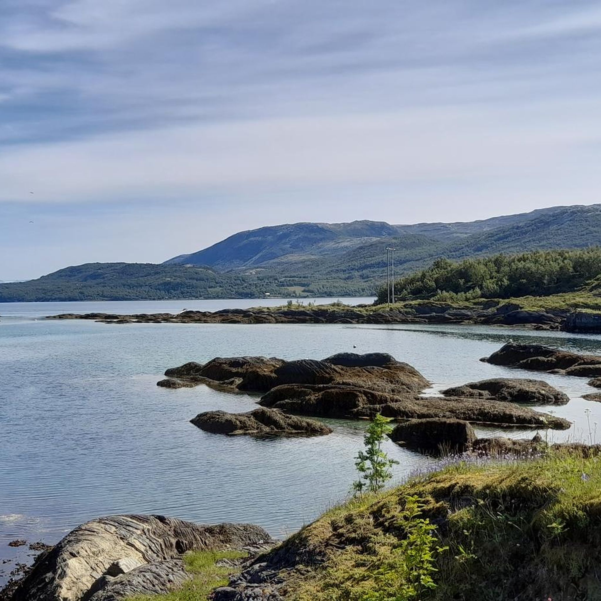
Glacial potholes are formed by meltwater flowing through crevasses and, in particular, moulins toward the glacier bed. This meltwater coalesces into streams and, in certain places, forms eddies. These eddies have flow speeds of up to 200 km/h and high pressure. The main erosion work, hollowing out the bedrock, is performed by the sand and gravel particles carried along with it.
1
0

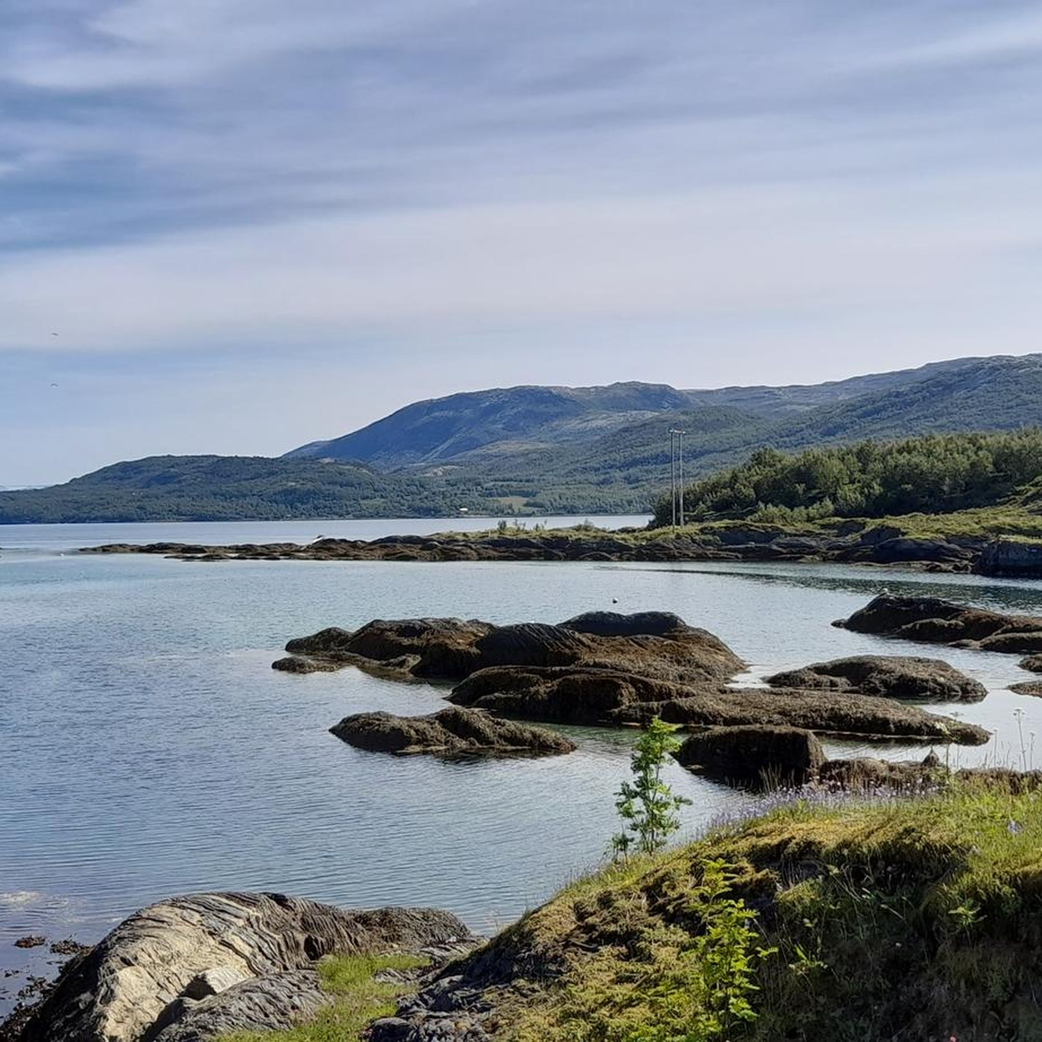
Incredible forces of nature Four times a day, this massive volume of water forces its way through the 150-meter-wide strait in Saltstraumen. This creates enormous whirlpools that dance between the fjords. We're talking about 400 million cubic meters of seawater, moving at an average speed of 13 kilometers per hour – when the current is at its strongest, it's much faster!
1
1

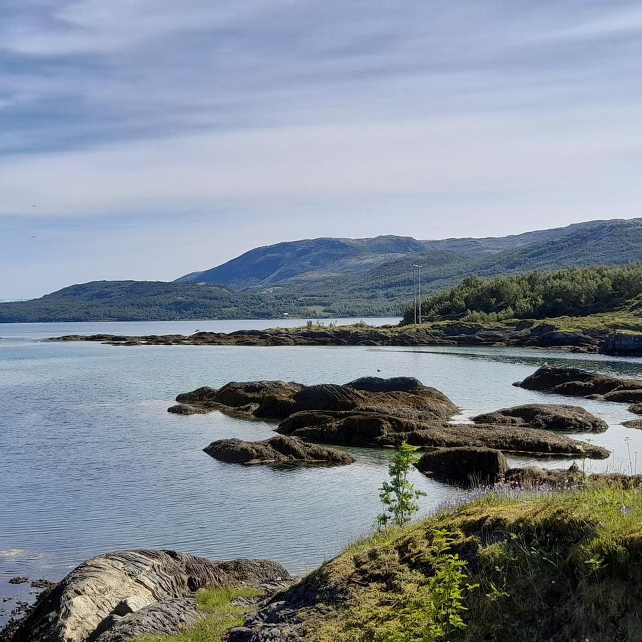
Keiservarden is a real favourite for the people of Bødo. In 2016, Queen Sonja officially open the sherpa-built trail up to the summit. At the top of the climb, there's a circular viewfinder that allows you to name the surrounding islands and peaks.
0
0

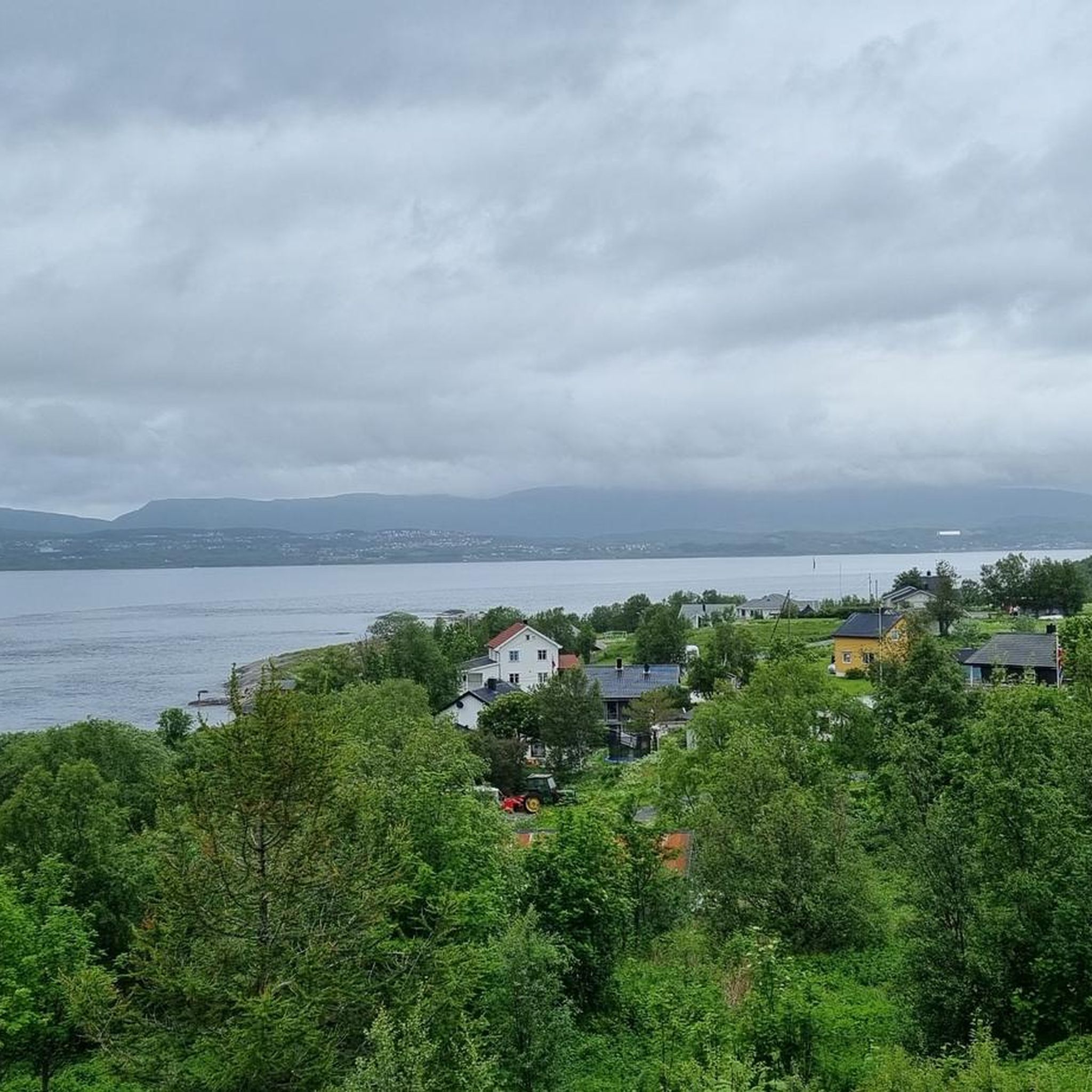
Keiservarden (366 m) is Bodø's local mountain. Once you reach the top, you have a fantastic view of Bodø and the surrounding area. TOP 👍🏻👍🏻👍🏻
0
0

The current table can be viewed on site, or even better, it can be accessed online for planning purposes. https://saltstraumen.info/Velkommen/saltstraumtabellen
4
0


Saltstraumen, 30 km southeast of Bodø, is the strongest tidal current in the world. Its name comes from Salten, the region in which it is located. Straumen comes from the Old Norse straumr for “current, current”
1
1

ボドでのの人気観光スポット

komootモバイルアプリでインスピレーションを得よう


さらに探索
これらのガイドで、最高の洞窟を探す範囲を広げましょうボドでの:
