ウィッレブルークの天然記念物・トップ20
ウィッレブルークが誇る美しい風景を見てみたいなら、ウィッレブルークの素晴らしい天然記念物・トップ20
に行ってみましょう。あなたにぴったりの場所が見つかるよう、素晴らしい天然記念物を探索するために必要なすべての情報を集めました。次のアウトドアの冒険に出かける計画の参考にしましょう。
最終更新日: 8月 22, 2026
ディレ川とネーテ川の合流点(ルーペル)
ハイライト • 川
翻訳者 Google •
役立つ情報 は

Meise植物園
ハイライト • 自然
翻訳者 Google •
役立つ情報 は

今すぐサインアップして、こんな場所を発見しよう
最高のシングルトラック、ピーク、その他のエキサイティングなアウトドアスポットのおすすめを受け取ろう。
無料新規登録
フランデレンの地理的中心点
ハイライト • 記念碑
翻訳者 Google •
役立つ情報 は

プッテン・ファン・ラコールト
ハイライト • 湖
翻訳者 Google •
役立つ情報 は

Hennenput池、Buggenhoutbos
ハイライト • 湖
(Nature point)
翻訳者 Google •
役立つ情報 は
無料でサインアップして、さらに多くの自然記念物を発見しましょう ウィッレブルークでの。
無料新規登録
すでにアカウントをお持ちですか?
無料アカウントで今日から始めよう
次の冒険が待っています。
ログインまたは登録
コミュニティからのヒント

It is good to know where the center is in Flanders. Well, this is not the political center of Flanders, but the geographical center.
5
1

The geographical centre of Flanders was determined by students of the Faculty of Applied Sciences of the University of Leuven. Using GPS measurements and with the help of mathematics teacher Prof. Theo Van der Waeteren, the centre was determined in 1999: it is located in the far corner of East Flanders, a few dozen metres from the previously determined "three-province point" (East Flanders, Antwerp and Flemish Brabant). Just a few metres from the territory of Sint-Amands, it is just in Opdorp, a sub-municipality of Buggenhout. The coordinates are: 51° 2′ 16″ N, 4° 14′ 26″ E. A monument was placed at this point in 2003.
2
0

Today Komoot was asked to change the name of this Highlight to Hennenput.
11
0

The geographical center of Flanders was determined by students from the Faculty of Applied Sciences of the University of Leuven. The center was determined in 1999[source?] via GPS measurements and with the help of the mathematics teacher: it is located in the furthest corner of East Flanders, a few tens of meters from the previously determined "three-province point" (East Flanders, Antwerp and Flemish Brabant). It is just a few meters away from the territory of Sint-Amands in Opdorp, a sub-municipality of Buggenhout. The coordinates are: 51° 2′ 16″ N, 4° 14′ 26″ E. In 2003 a monument was placed at this point.
5
0
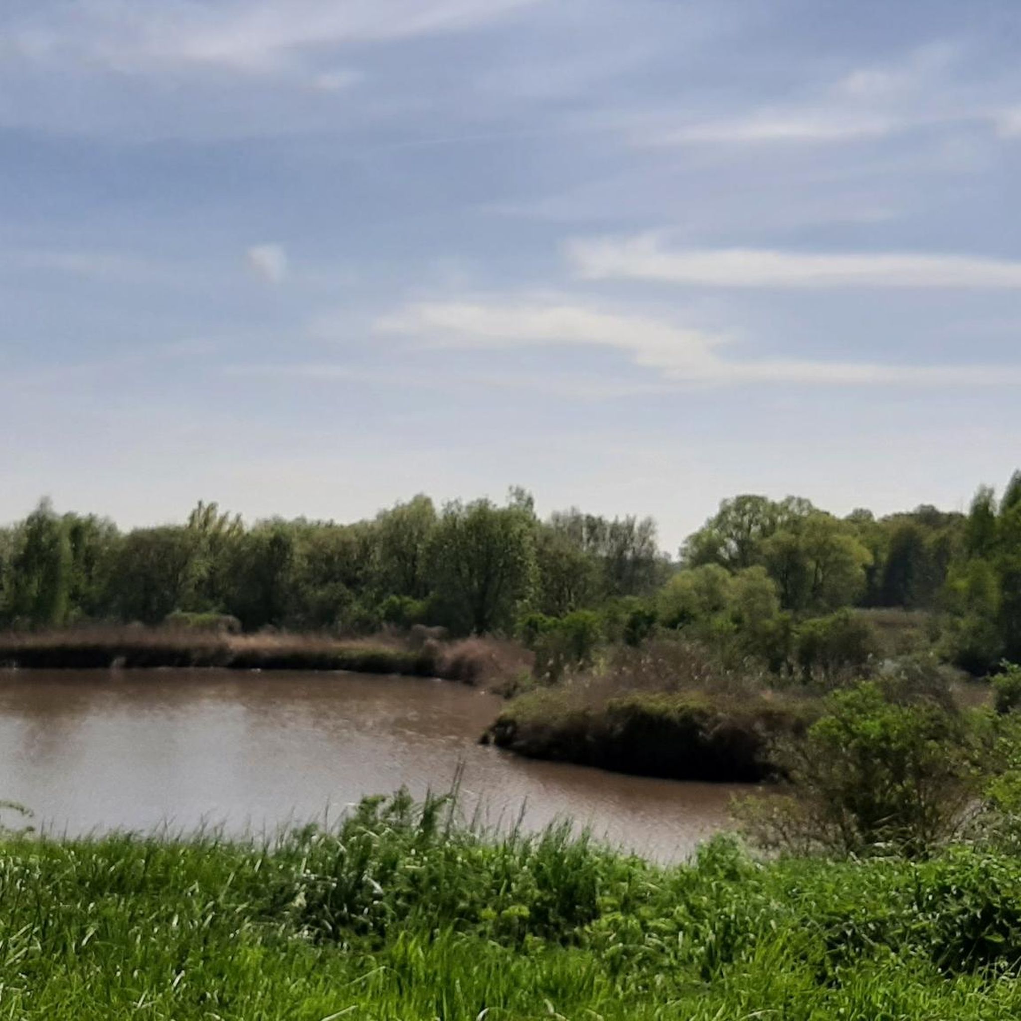
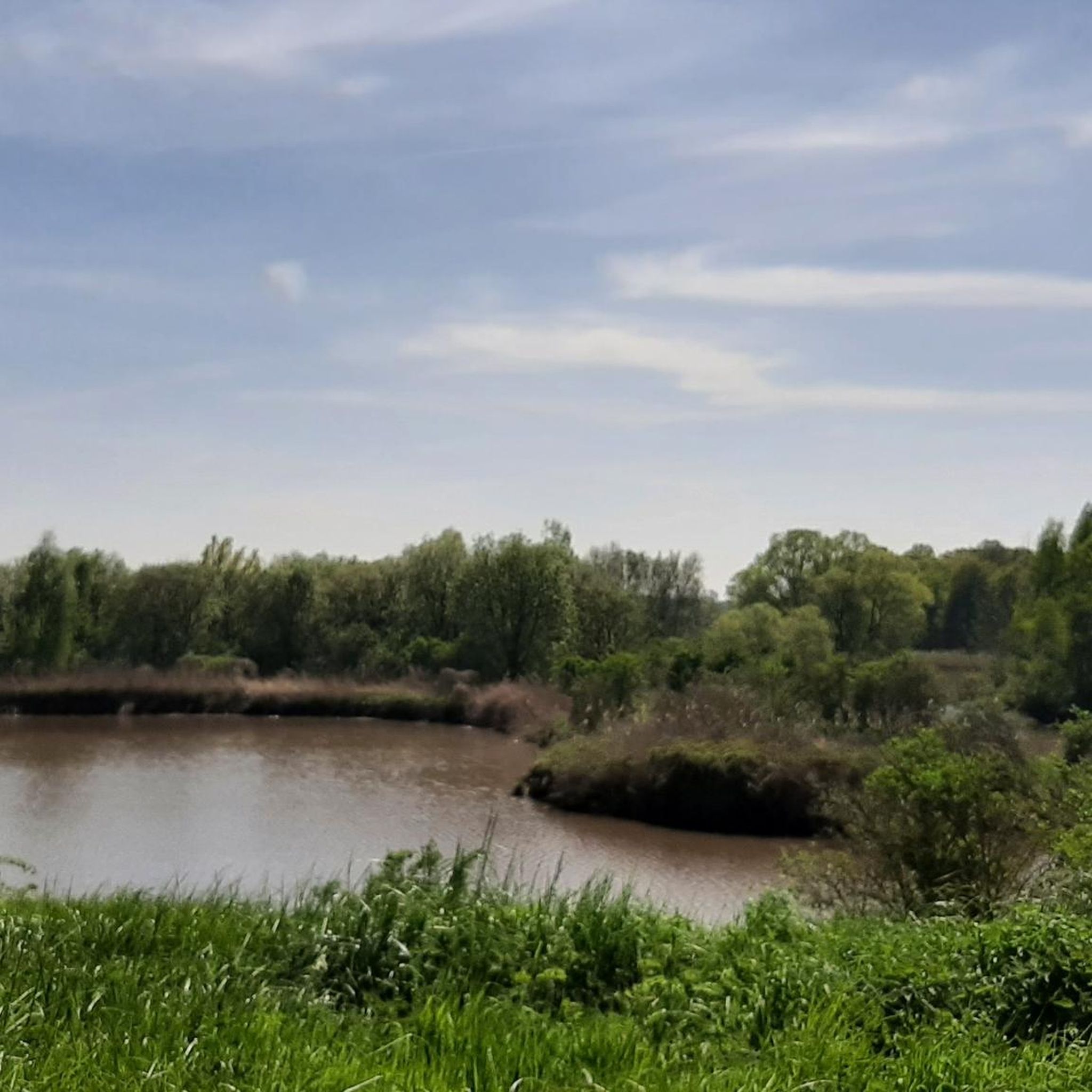
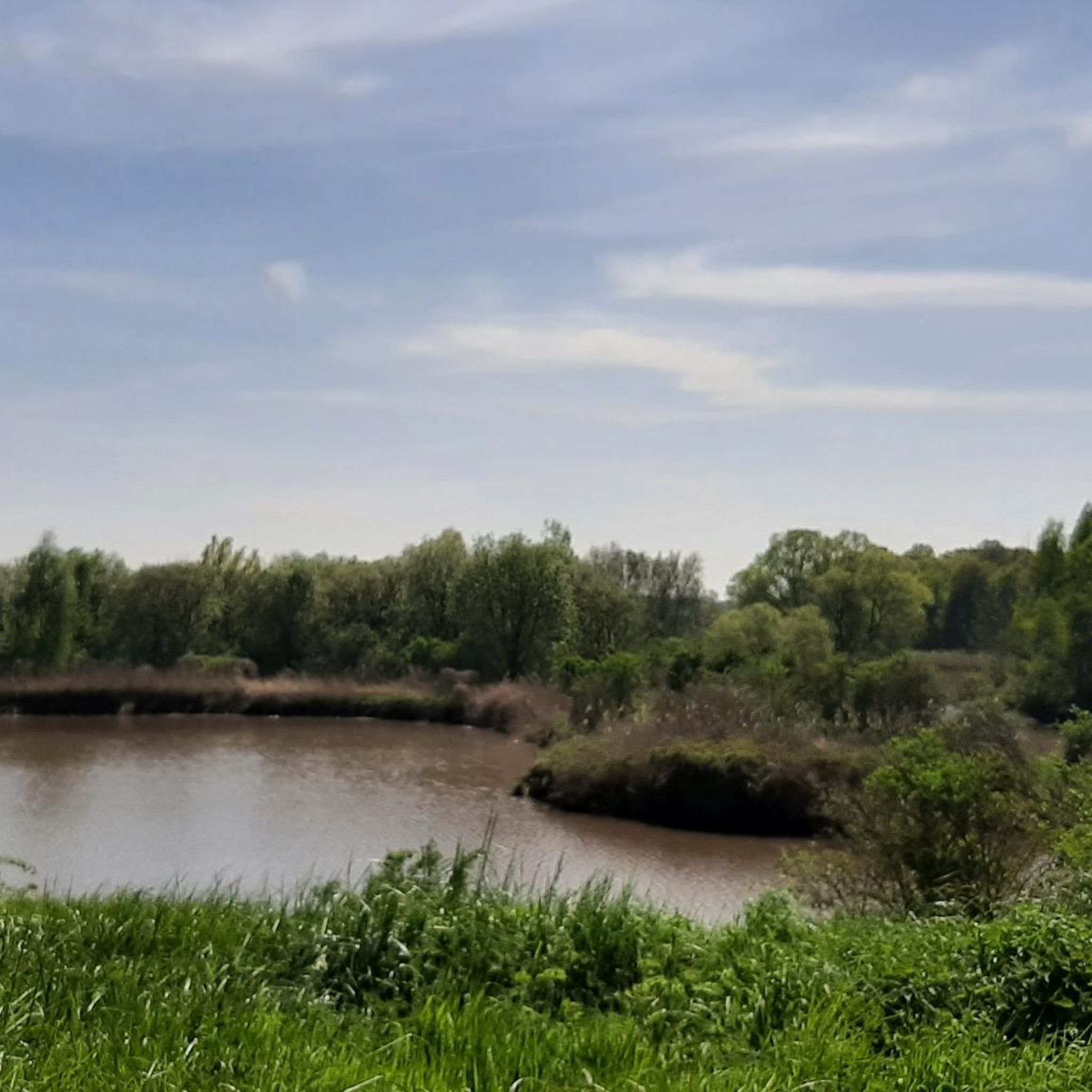
The Henneput, the largest water feature, is an attraction for almost all animals, a spawning ground for toads and frogs in the spring, a moment of relaxation for many hikers. (Nature point)
18
0
Resting on the benches can be good.
11
0

Beautiful water lilies, dragonflies, but dirty brownish water
5
2

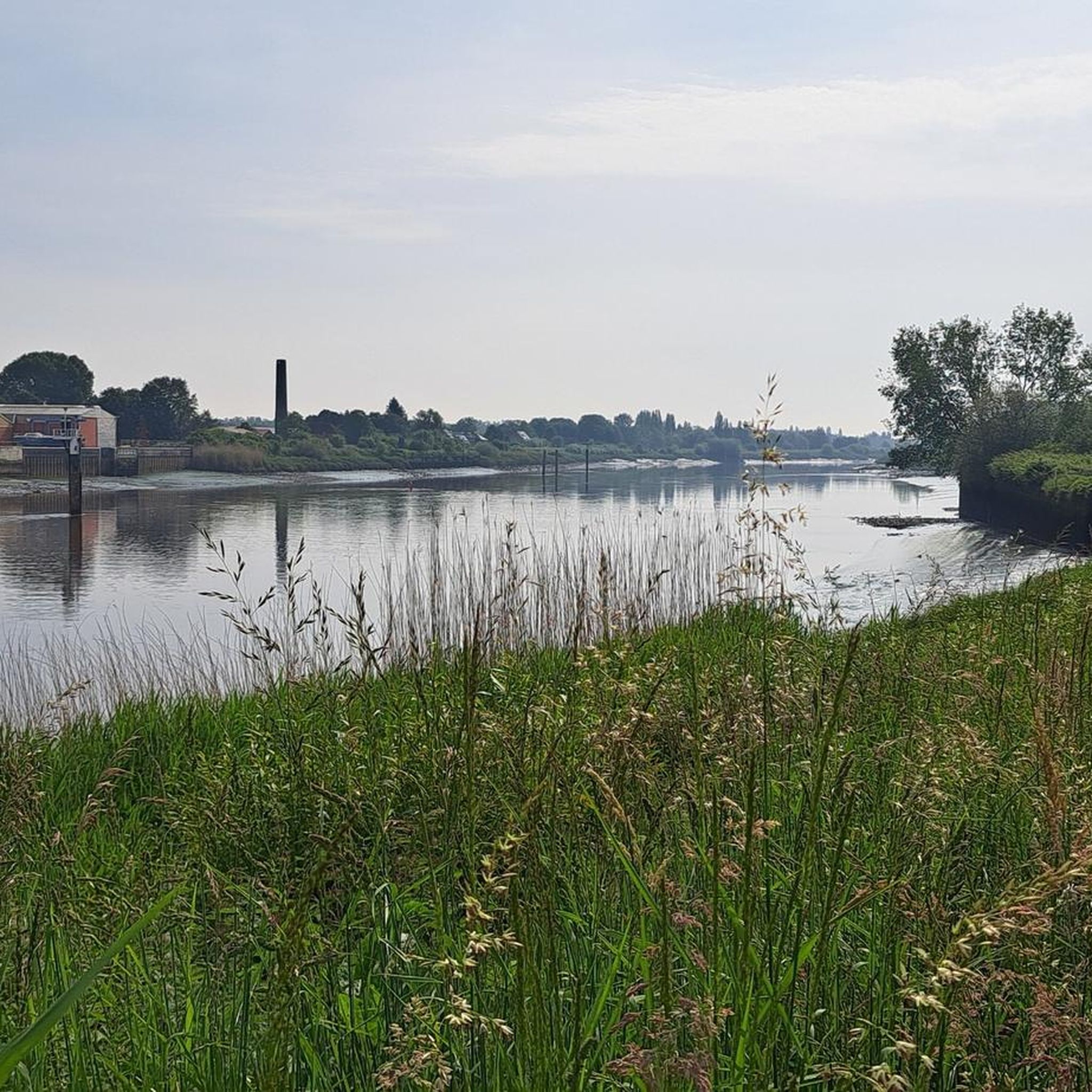
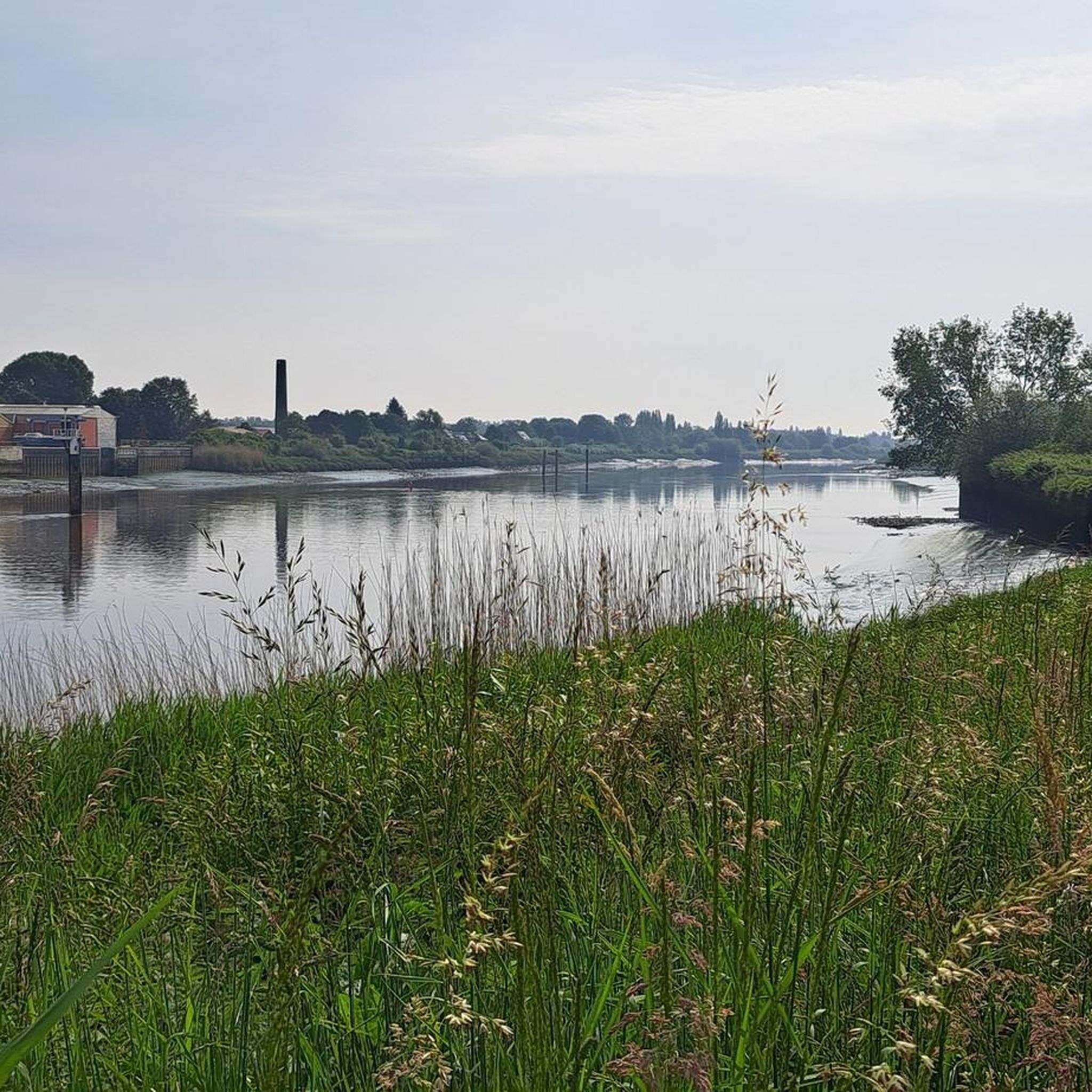
The "Samenvloeiing van Dijle en Nete = Rupel" is a place in Belgium which is located where the rivers Dijle and Nete join to form the river Rupel. It is located in the Flemish region, in the province of Antwerp, in the city of Rumst. This site is known for its natural beauty and for being a meeting point between the waters of the two rivers. The confluence of the rivers creates a striking and fascinating landscape, with large expanses of water joining and mixing. The area around the Samenvloeiing van Dijle en Nete = Rupel also offers opportunities to enjoy the surrounding nature, with scenic trails and green areas that invite for walks and hikes. It's a popular spot with nature lovers and those looking to spend time outdoors.
5
0
ウィッレブルークでのの人気観光スポット

komootモバイルアプリでインスピレーションを得よう


さらに探索
これらのガイドで、最高の洞窟を探す範囲を広げましょうウィッレブルークでの:
