ケールベーゲンの天然記念物・トップ20
ケールベーゲンが誇る美しい風景を見てみたいなら、ケールベーゲンの素晴らしい天然記念物・トップ20
に行ってみましょう。あなたにぴったりの場所が見つかるよう、素晴らしい天然記念物を探索するために必要なすべての情報を集めました。次のアウトドアの冒険に出かける計画の参考にしましょう。
最終更新日: 8月 22, 2026
Wijngaardbergのブドウ畑
ハイライト • 構造物
翻訳者 Google •
役立つ情報 は

ヴィインガードベルグのブドウ畑の石垣
ハイライト • 記念碑
翻訳者 Google •
役立つ情報 は

今すぐサインアップして、こんな場所を発見しよう
最高のシングルトラック、ピーク、その他のエキサイティングなアウトドアスポットのおすすめを受け取ろう。
無料新規登録
アンチタンク運河 ハーハト
ハイライト • 構造物
翻訳者 Google •
役立つ情報 は

ミスペルドンク自然保護区
ハイライト • 自然
翻訳者 Google •
役立つ情報 は
デメール川とディール川の合流点
ハイライト • 川
翻訳者 Google •
役立つ情報 は

無料でサインアップして、さらに多くの自然記念物を発見しましょう ケールベーゲンでの。
無料新規登録
すでにアカウントをお持ちですか?
無料アカウントで今日から始めよう
次の冒険が待っています。
ログインまたは登録

コミュニティからのヒント


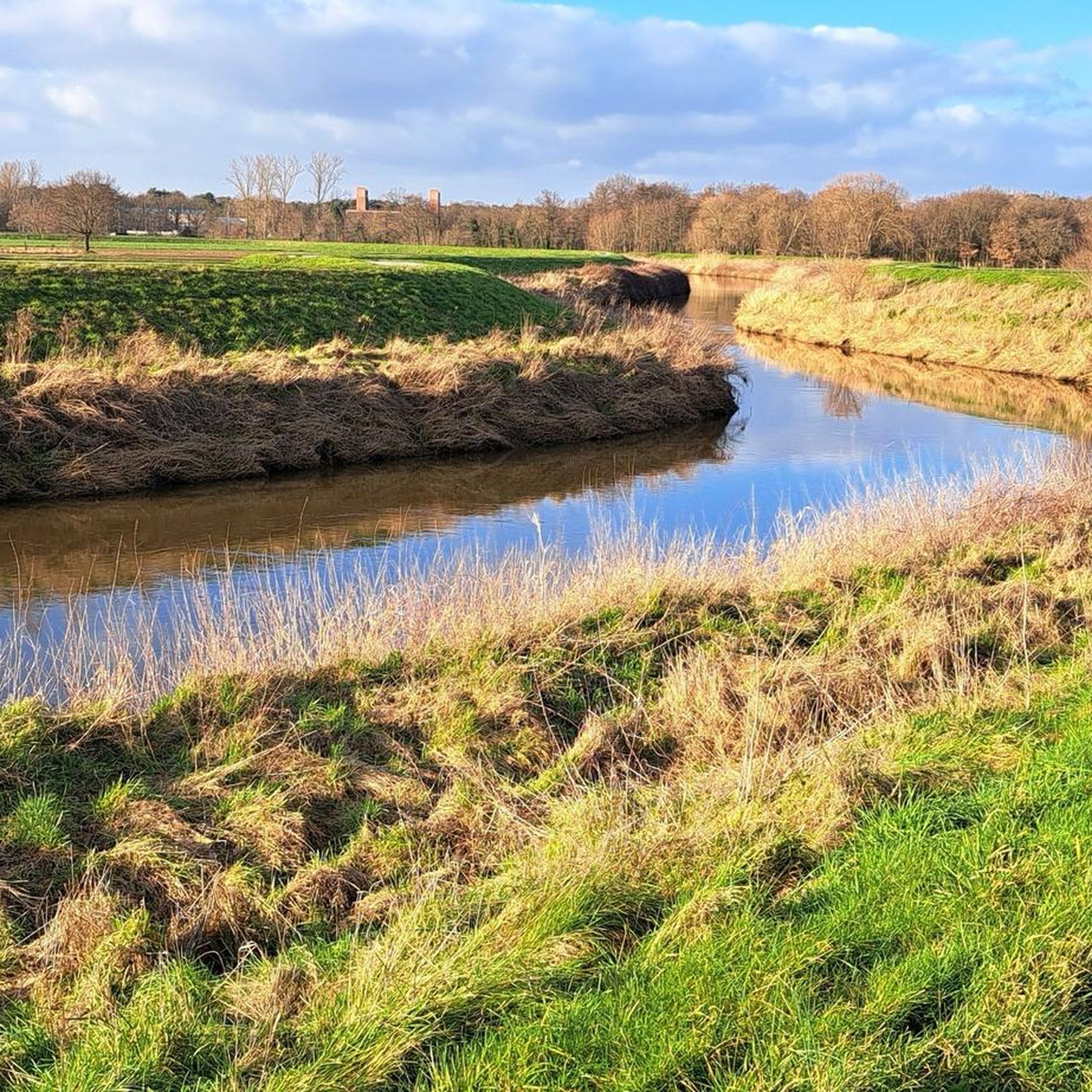
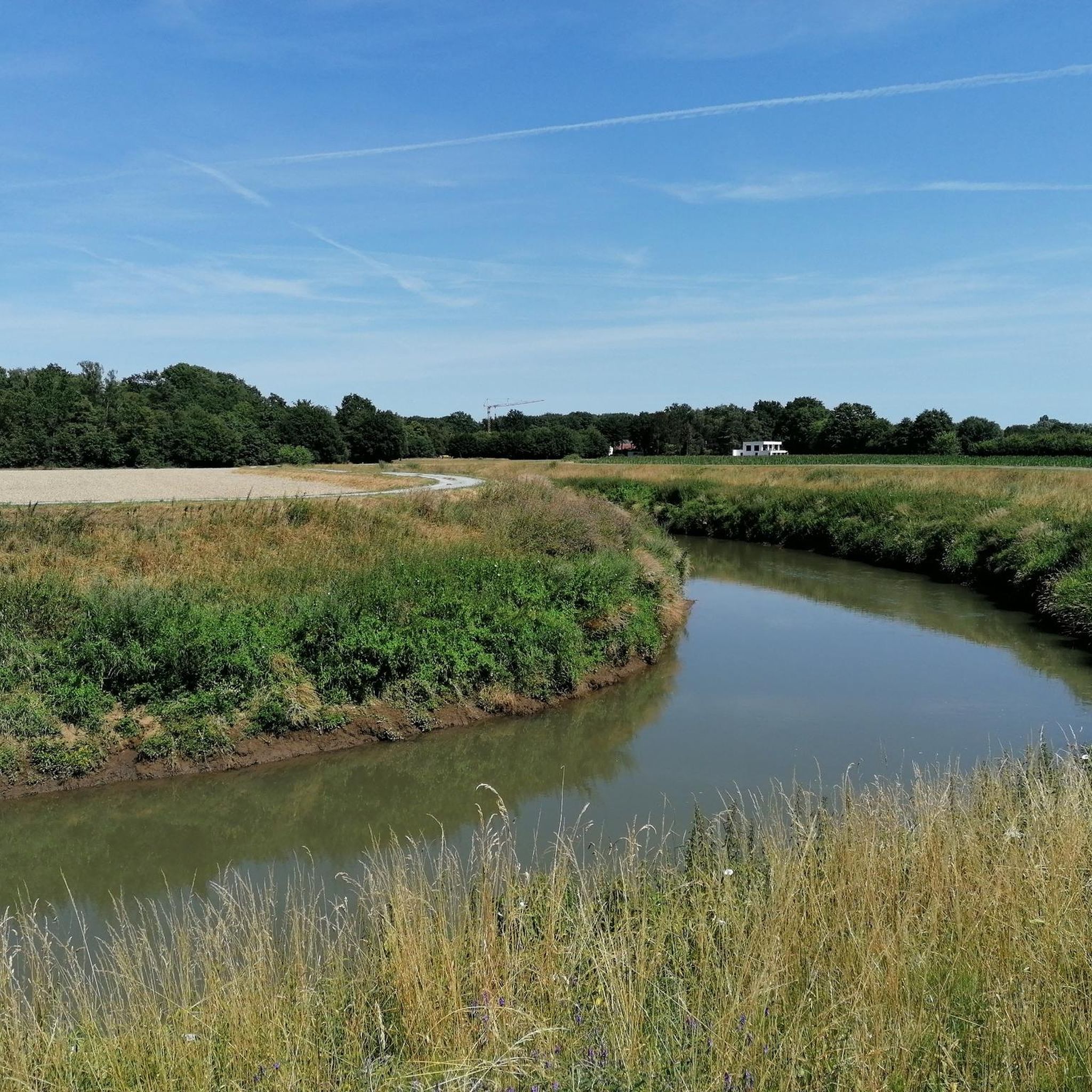
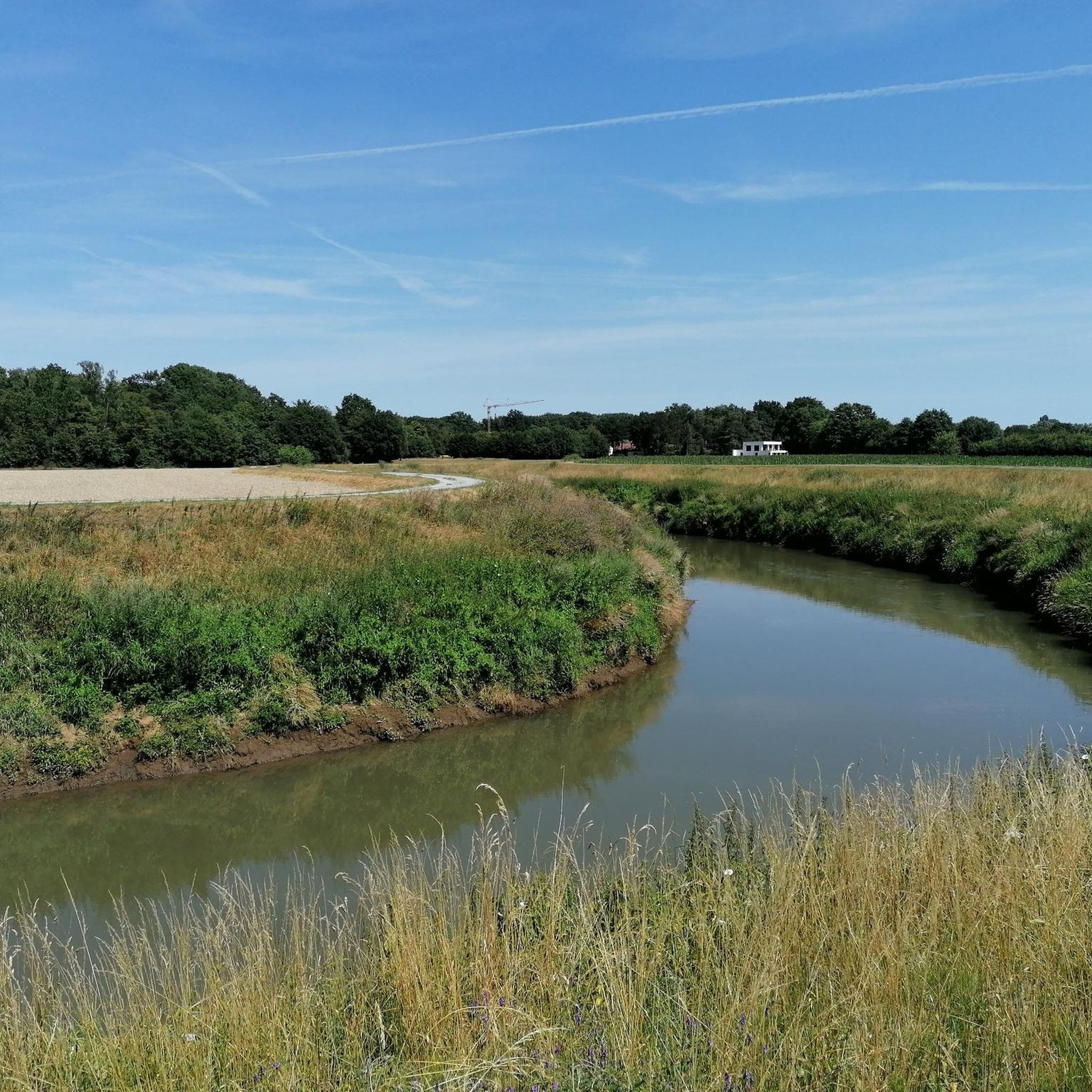
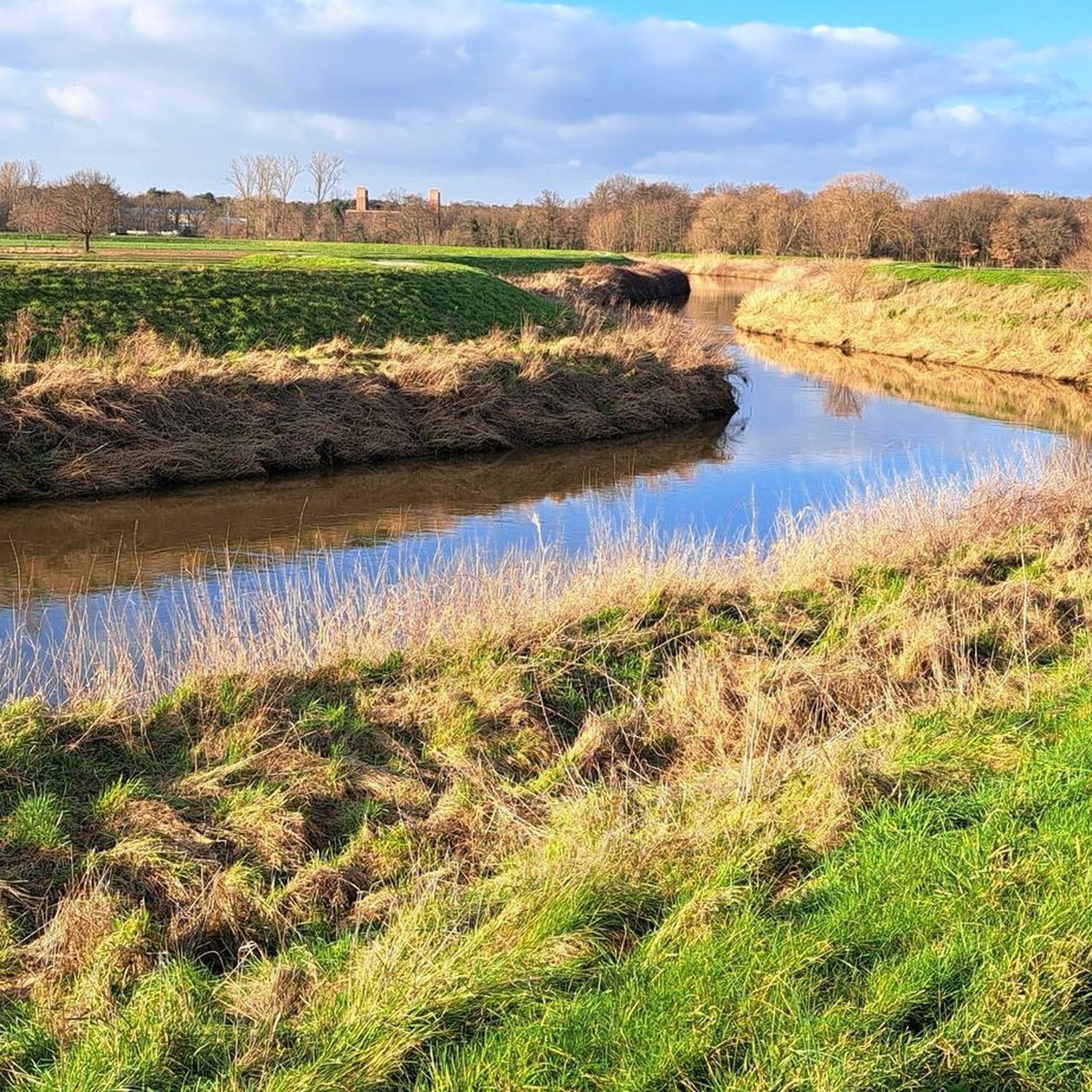
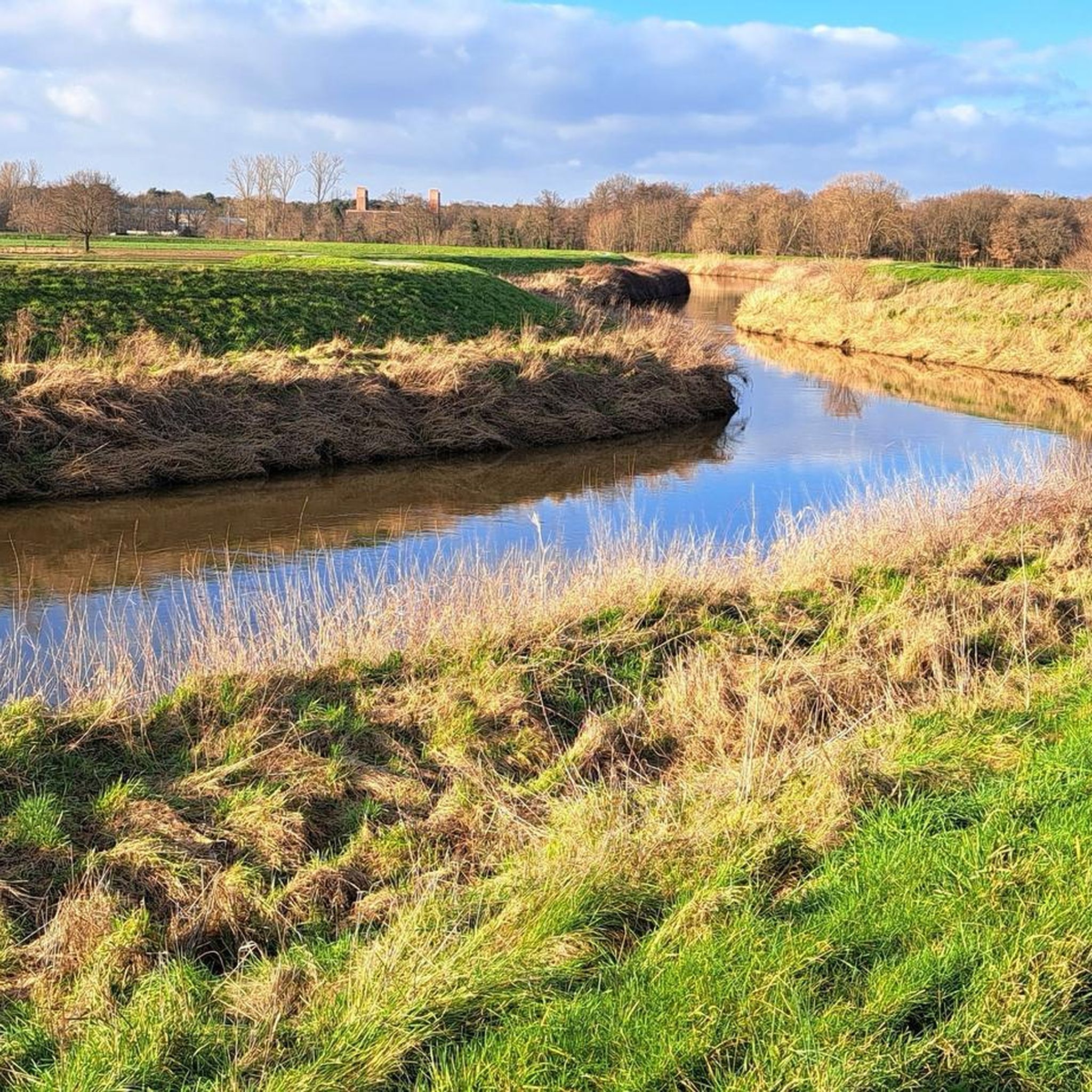
Mispeldonk Nature Reserve is a beautiful and valuable nature reserve in Bonheiden, located in the province of Antwerp. The area is known for its unique ecosystems, rich biodiversity and the natural beauty of the landscape. Here are some key points about Mispeldonk: Location and Size Mispeldonk is located between Bonheiden and the nearby municipality of Rijmenam, along the banks of the Dijle. The area is part of the larger Dijle landscape, which is known for its wet meadows, meandering waterways and rich flora and fauna. Mispeldonk covers approximately 50 hectares and consists of a mix of marshlands, meadows, forests and ponds. Ecological Importance Mispeldonk is a protected nature reserve because of its special ecological value. The area has a typical structure of a flood plain of the Dijle, which makes it an important habitat for many plant and animal species: • Flora: Various rare and protected plant species grow in the area, such as marsh marigolds, cuckoo flowers and water violets. The wet grasslands and marshes provide unique vegetation that is less common elsewhere in the region. • Fauna: Mispeldonk is an important habitat for birds such as the bluethroat, water rail and reed warbler. Amphibians such as the crested newt and the green frog can also be found there. Furthermore, the area is rich in insects, including butterflies and dragonflies, that thrive in the moist environment. Water management The nature reserve plays an important role in local water management. It is located in a flood-prone area along the Dijle and functions as a natural buffer against flooding. In the event of high water levels, the area can collect water and thus help prevent flooding in nearby villages. The nature reserve contributes to the preservation of water quality by filtering and purifying the water through natural processes. Recreation and Experience Mispeldonk is a popular place for nature lovers and hikers. The area is accessible via various hiking trails that lead through the meadows and forests. There are signposted routes that give walkers the chance to explore the diversity of the landscape and enjoy the peace and quiet of nature. Birdwatchers enjoy visiting the area because of the variety of bird species that can be seen, especially during the breeding season and the migratory bird periods. Management and Protection The nature reserve is managed by Natuurpunt, a Belgian organisation that is committed to nature conservation. Natuurpunt carries out management work to protect biodiversity and maintain the landscape. This includes mowing grasslands, removing invasive plant species and maintaining the walking paths. There is collaboration with local farmers for nature-friendly agriculture, whereby meadows are extensively grazed or mowed, so that they remain suitable for meadow birds and rare plants.
6
1


The Haacht Anti-Tank Canal is part of one of the defense lines that were constructed in the run-up to the Second World War against the threatened invasion of the German army. The Antitank Canal is in fact a concrete wall of more than 3 kilometers long and approximately 3 meters high with a moat in front. Today, the wall and moat are still virtually intact and cut through the Haacht landscape.
11
0
ケールベーゲンでのの人気観光スポット

komootモバイルアプリでインスピレーションを得よう


さらに探索
これらのガイドで、最高の洞窟を探す範囲を広げましょうケールベーゲンでの:
