アメリアの天然記念物・トップ17
アメリアが誇る美しい風景を見てみたいなら、アメリアの素晴らしい天然記念物・トップ17
に行ってみましょう。あなたにぴったりの場所が見つかるよう、素晴らしい天然記念物を探索するために必要なすべての情報を集めました。次のアウトドアの冒険に出かける計画の参考にしましょう。
最終更新日: 10月 15, 2026
ボマルツォのエトルリアのピラミッド
ハイライト • 歴史的な場所
翻訳者 Google •
役立つ情報 は

サン・リベラート湖
ハイライト • 湖
翻訳者 Google •
役立つ情報 は

今すぐサインアップして、こんな場所を発見しよう
最高のシングルトラック、ピーク、その他のエキサイティングなアウトドアスポットのおすすめを受け取ろう。
カスカーテ・デル・リオ・グランデ
ハイライト • 滝
翻訳者 Google •
役立つ情報 は

オクリクリウム考古遺跡公園
ハイライト • 歴史的な場所
翻訳者 Google •
役立つ情報 は

イタリアの地理的中心地記念碑
ハイライト • 記念碑
翻訳者 Google •
役立つ情報 は

無料でサインアップして、さらに多くの自然記念物を発見しましょう アメリアでの。
すでにアカウントをお持ちですか?
無料アカウントで今日から始めよう
次の冒険が待っています。
コミュニティからのヒント

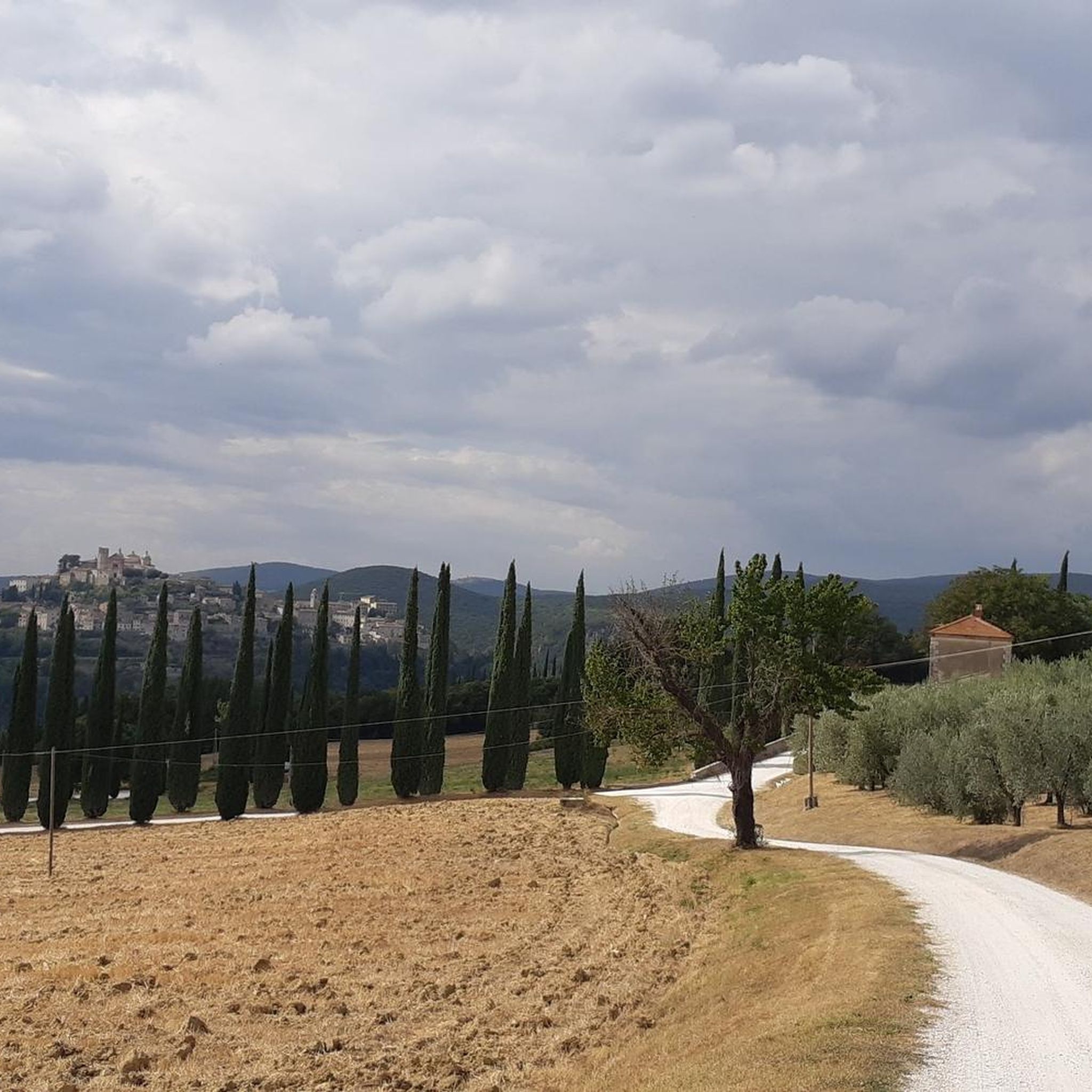
私のツアーに大きな問題がありました。敷地内には通過できますが、ルートは封鎖されています。幸い、ダムの上を車で通りかかった従業員がいて、大きな門からなんとか自由に出ることができました。結局、ここは事業用地なのです。誰がここにツアーを提案するのか分かりません。一方で、約15kmの迂回を荒れた砂利道でするという選択肢もありました。湖は、まあ、水鳥はたくさんいます。
0
0

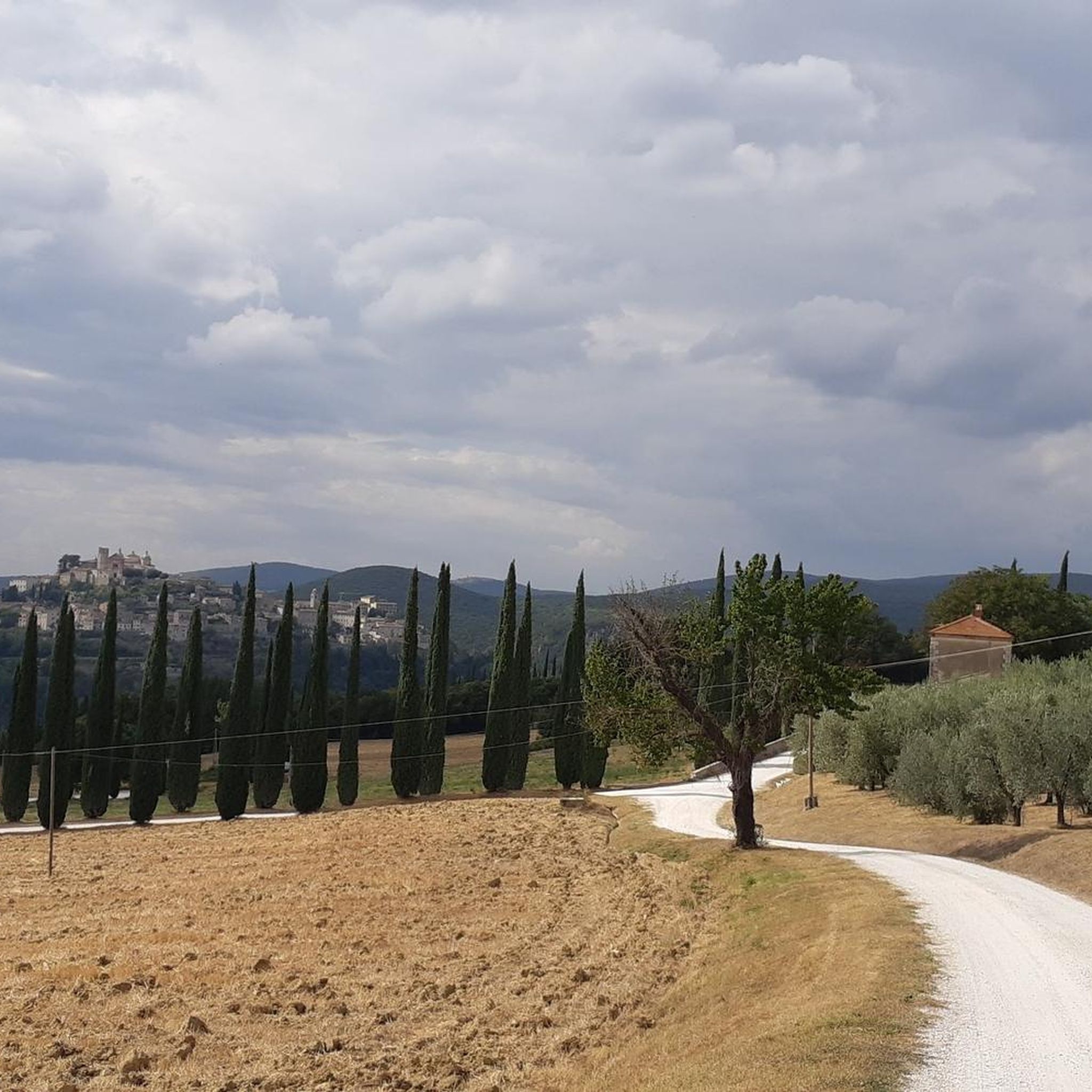
リオ・グランデ川流域は、アメリアから約2キロメートル、モンティ・アメリニ地域に位置しています。リオ・グランデ川はテヴェレ川に注ぐ支流であり、この地域は都市型河川公園、そして自然および景観的関心の高い場所として説明されています。 その歴史的重要性は、主に2つのダムに依存しています。1つはパラと呼ばれる上流のダムで、ラゴ・ヴェッキオ(古い湖)を形成しました。もう1つはデイ・フィネストローニまたはポンテ・グランデと呼ばれる下流のダムです。 何世紀にもわたり、この水力システムは地域の水源を確保し、油と穀物を挽くための製粉所を稼働させてきました。これらの製粉所は、今でも流域沿いに記憶されています。
0
0

Gorgeous place! Too bad it takes so many rainy days to see any water!
0
0
It is a large boulder of shaped and carved peperino stone, located in a forest between Bomarzo and Chia; It was rediscovered in 2001 by the Archeotuscia association and the archaeological company Pro-Ferento. The structure has 26 steps carved into the volcanic rock, with a height of 8 meters in the upstream part and 16 meters in the downstream part. It is believed to have been an Etruscan rock altar, probably dating back to the 6th-7th century BC, although some hypotheses suggest even older origins.
0
0
"There are several locations between Umbria and Lazio that claim its exact location. According to Giuseppe Angeletti, a scholar and passionate geographer from Perugia, and the Military Geographic Institute (I.G.M.), the geographic center of peninsular Italy would be positioned along the route of the Roman aqueduct of Formina, near one of the most evocative Roman bridges in the city of Narni, the Cardona bridge.".
0
0

The remains of the ancient Roman city, crossed by the Via Flaminia and lapped by a bend of the Tiber, are set in a natural landscape of remarkable beauty, a perfect synthesis of archeology and nature with a centuries-old history.
0
0

Geographic coordinates of central Italy
0
0

This splendid archaeological park from the Roman era can be visited all year round for free. The park extends for 36 hectares from the nearby bend of the Tiber to under the modern Otricoli. Right on the Tiber river there are still the remains of the used Oil Port active until the 16th century. The remains of what were once thermal baths, amphitheaters and villas are perfectly preserved and extraordinarily integrated into the natural context of the area.
2
0
アメリアでのの人気観光スポット

komootモバイルアプリでインスピレーションを得よう


さらに探索
これらのガイドで、最高の洞窟を探す範囲を広げましょうアメリアでの:
