ラサールの天然記念物・トップ20
ラサールが誇る美しい風景を見てみたいなら、ラサールの素晴らしい天然記念物・トップ20
に行ってみましょう。あなたにぴったりの場所が見つかるよう、素晴らしい天然記念物を探索するために必要なすべての情報を集めました。次のアウトドアの冒険に出かける計画の参考にしましょう。
最終更新日: 8月 22, 2026
アルピー湖
ハイライト • 湖
翻訳者 Google •
役立つ情報 は

ルトゥールの第一の滝
ハイライト • 滝
翻訳者 Google •
役立つ情報 は
今すぐサインアップして、こんな場所を発見しよう
最高のシングルトラック、ピーク、その他のエキサイティングなアウトドアスポットのおすすめを受け取ろう。
無料新規登録
ヴェルネ湖
ハイライト • 湖
翻訳者 Google •
役立つ情報 は

プンタ・デッラ・クローチェと古代の要塞跡
ハイライト • 歴史的な場所
翻訳者 Google •
役立つ情報 は

無料アカウントで今日から始めよう
次の冒険が待っています。
ログインまたは登録
ラサール周辺で人気

Cammino Balteo – castles, vineyards and trails of the Aosta Valley
Hidden trails in the Aosta Valley – mountains you don't yet know
The alpine northwest – mountain gravel between Piedmont and the Aosta Valley

イタリアのアオスタ谷の路、城、そして眺め - カミーノ・バルテオ
ラサールでのハイキング
ラサールのロードバイクルート
ラサールのMTBトレイル
ラサールでのサイクリング
ラサールのランニングコース

ラサールでののグラベルライド
ラサールでのの他の冒険


コミュニティからのヒント

Very simple and relaxing route through the woods to this splendid lake. If you want to visit it in peace, avoid midday hours, especially in summer
1
0
A nice little place at the bottom of the valley near a picnic area. Great place to relax and soak your feet after a hike
0
0
Magnificent panorama over the entire Mont Blanc chain and La Thuille. Near the cross there are only the remains of ancient fortifications that dominated the valley
1
0

Punta della Croce is a place that you cannot miss for the vast panorama that can be enjoyed from the top (2,432 meters above sea level). From here the view of Mont Blanc is truly incredible!
3
0
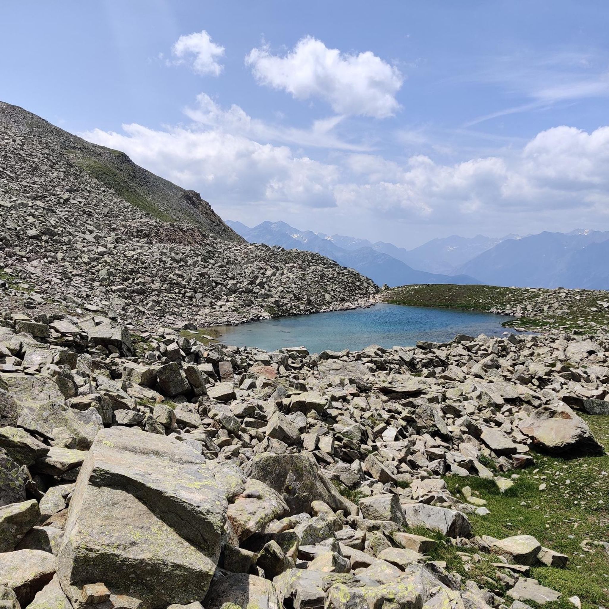
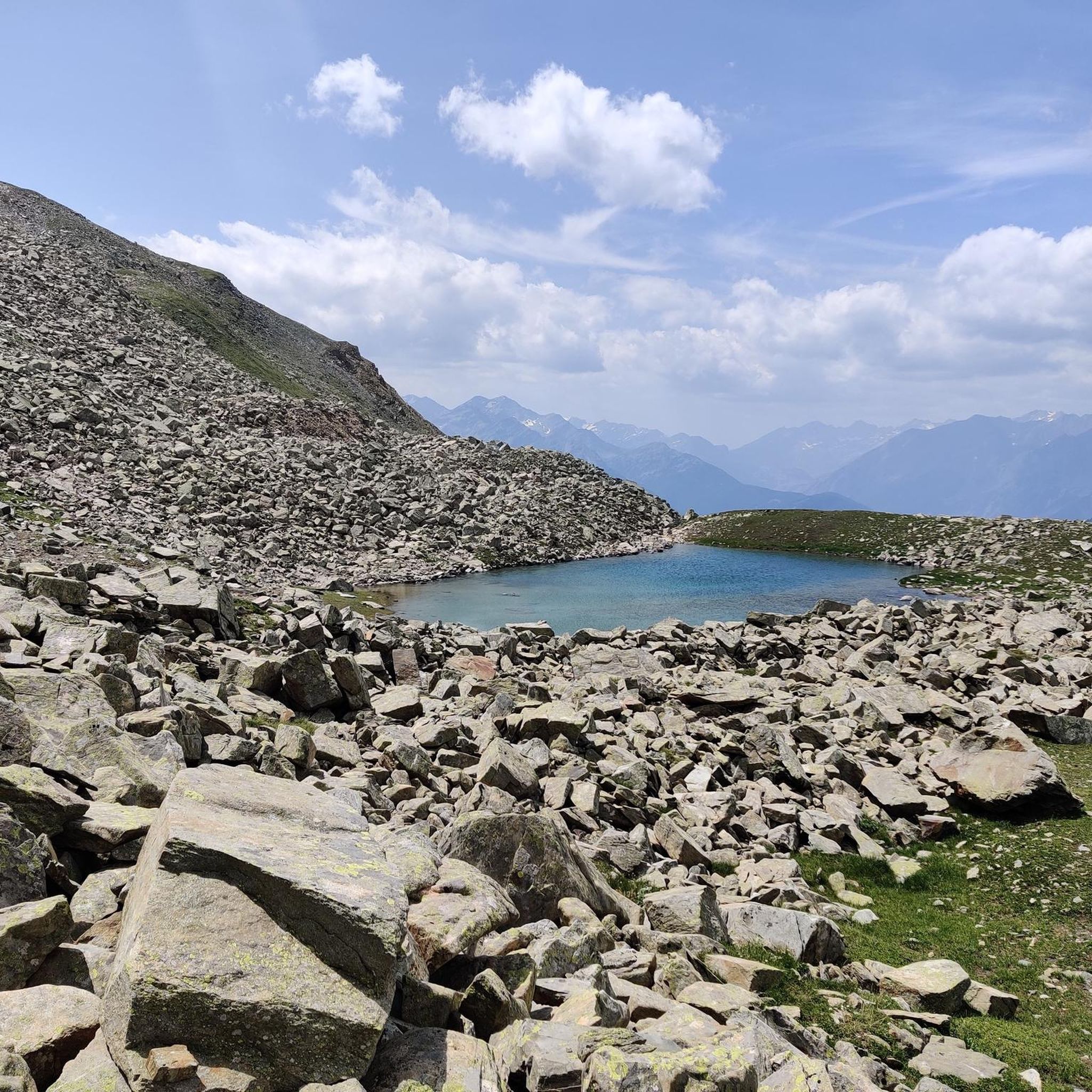
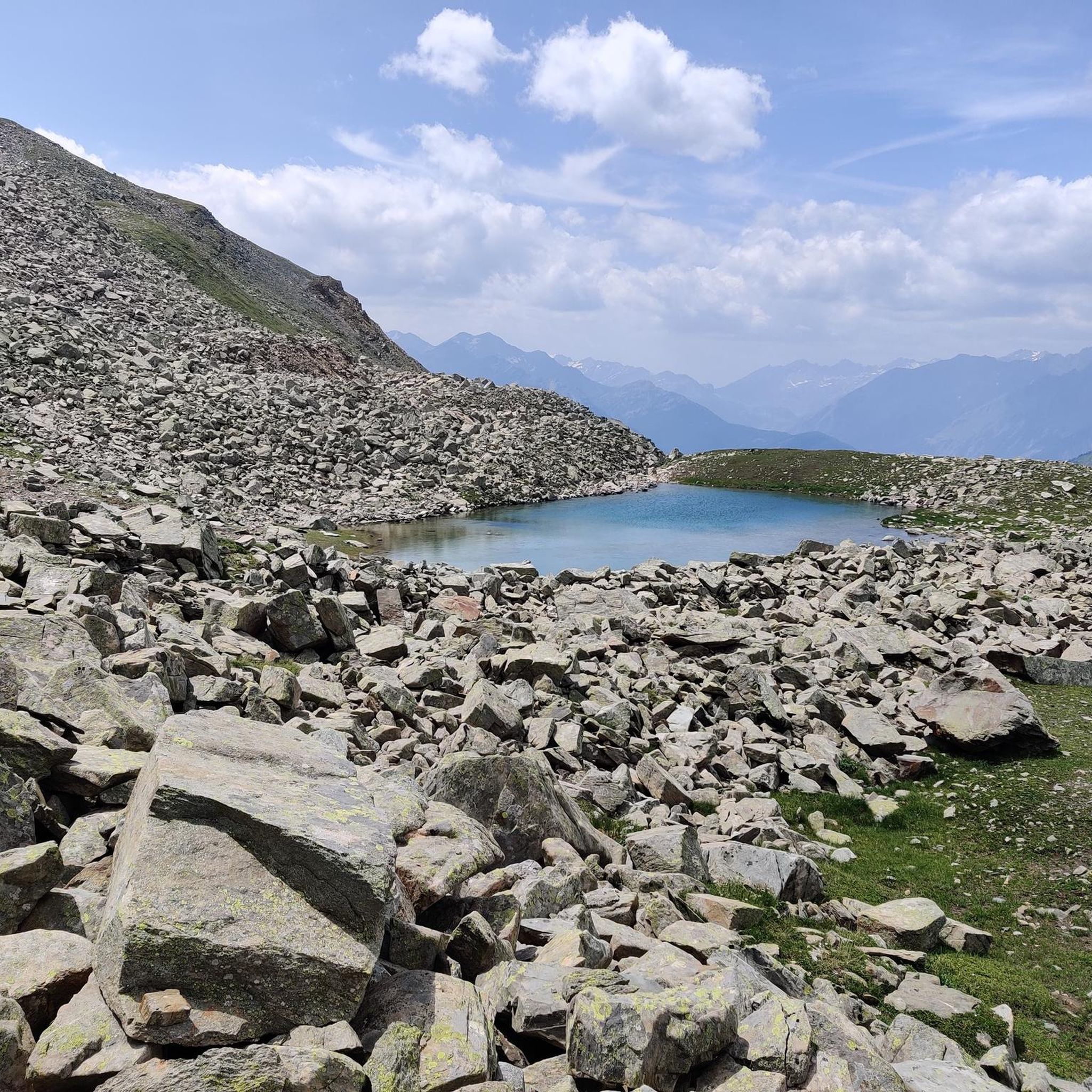
Lake Arpy is located at 2,066 meters above sea level. It is located in a splendid valley and enclosed between Mount Charvel and Becca Pouegnenta to the left of Mount Colmet. The lake has shades of color ranging from brown to light blue to green. In its waters there are trout and a rare species of amphibian, the Alpine newt.
5
0
The first waterfall is the easiest to reach and is located about 20 minutes from the start. Although it is the easiest to reach, you need to be careful because, being wet, you could slip, so remember suitable shoes and be careful.
0
0
The three Rutor waterfalls are part of the country's history and are shrouded in myths and legends. Daughters of the lakes fed by the Rutor glacier, the wonderful waterfalls that can be visited in summer are three impetuous waterfalls that throw themselves into gorges and precipices, carving out the rock with all the power of the melting water. Starting from the hamlet of La Joux at 1,603 meters above sea level and located just three kilometers from the town of La Thuile, you can reach the first of the three with a beautiful path up to the third waterfall which is located at 1,996 metres. The first observation point is found shortly after passing the farmhouses of La Joux, along a mule track that passes through coniferous woods. The first waterfall is surprising: the emotion of the rainbow and the force of the water arouse incredible sensations.
2
0
Lake Verney is the largest natural alpine lake in the Aosta Valley. Of glacial origin, it is located at 2,088 m above sea level, between the Bec des Rousses, the promontory of the Piccolo San Bernardo, and Mount Chaz Dura. The shores of the lake are colonized by hygrophilous vegetation that includes prized botanical varieties such as eriophilous grasses, sedges and rushes as well as sphagnum, a typical species of peat bogs. On the sides, the work of nature has left morainic deposits rich in springs, a perfect habitat for primroses and saxifrages. In a distant time, over 2,000 years ago, the Salassi people considered these waters sacred: they were used to bless the fields, unions and children, to propitiate a fruitful summer or a benevolent winter. When the Salassi leaders returned victorious from a battle, they offered the swords of their fallen adversaries to Graio, the god of war and rocks, as a sign of thanks. Today, Lake Verney is a favorite destination for many tourists as well as a fishing reserve. You can walk around its entire perimeter with a comfortable walk of about 45 minutes and by climbing further you can reach the Upper Lake Verney in about half an hour.
1
0

komootモバイルアプリでインスピレーションを得よう


さらに探索
これらのガイドで、最高の洞窟を探す範囲を広げましょうラサールでの:
