ロヴァゼンダの天然記念物・トップ11
ロヴァゼンダが誇る美しい風景を見てみたいなら、ロヴァゼンダの素晴らしい天然記念物・トップ11
に行ってみましょう。あなたにぴったりの場所が見つかるよう、素晴らしい天然記念物を探索するために必要なすべての情報を集めました。次のアウトドアの冒険に出かける計画の参考にしましょう。
最終更新日: 8月 22, 2026
リーヴェ・ロッセ
ハイライト • 自然記念物
The unusual landscape, from the Strona di Vallemosso Valley and through Masserano to Curino, is due to two …
翻訳者 Google •
役立つ情報 は

セシアのラーメ自然公園
ハイライト • 自然
翻訳者 Google •
役立つ情報 は

今すぐサインアップして、こんな場所を発見しよう
最高のシングルトラック、ピーク、その他のエキサイティングなアウトドアスポットのおすすめを受け取ろう。
無料新規登録
フォンテ・デッラ・サルーテ
ハイライト • 記念碑
翻訳者 Google •
役立つ情報 は

チェルヴォ渓流のカルアンキ
ハイライト • 峡谷
翻訳者 Google •
役立つ情報 は

ラゴ・デッレ・ピアーネ
ハイライト • 湖
it.wikipedia.org/wiki/Lago_delle_Piane
翻訳を表示中
役立つ情報 は

無料でサインアップして、さらに多くの自然記念物を発見しましょう ロヴァゼンダでの。
無料新規登録
すでにアカウントをお持ちですか?

コミュニティからのヒント


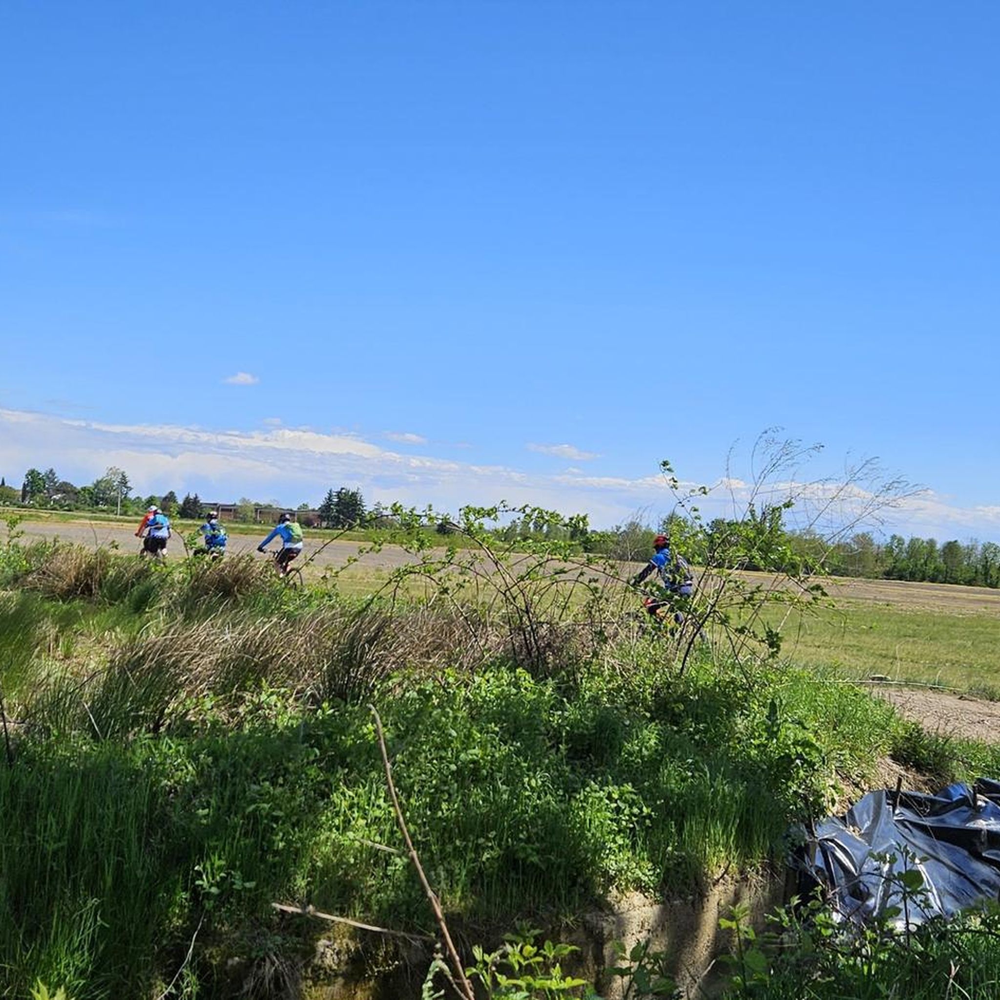
A rare beauty of erosion, a wild and solitary place a stone's throw from civilization, easily accessible by bike or on foot (about 2km) from the Sp Castelletto Cervo – Cossato.
2
1

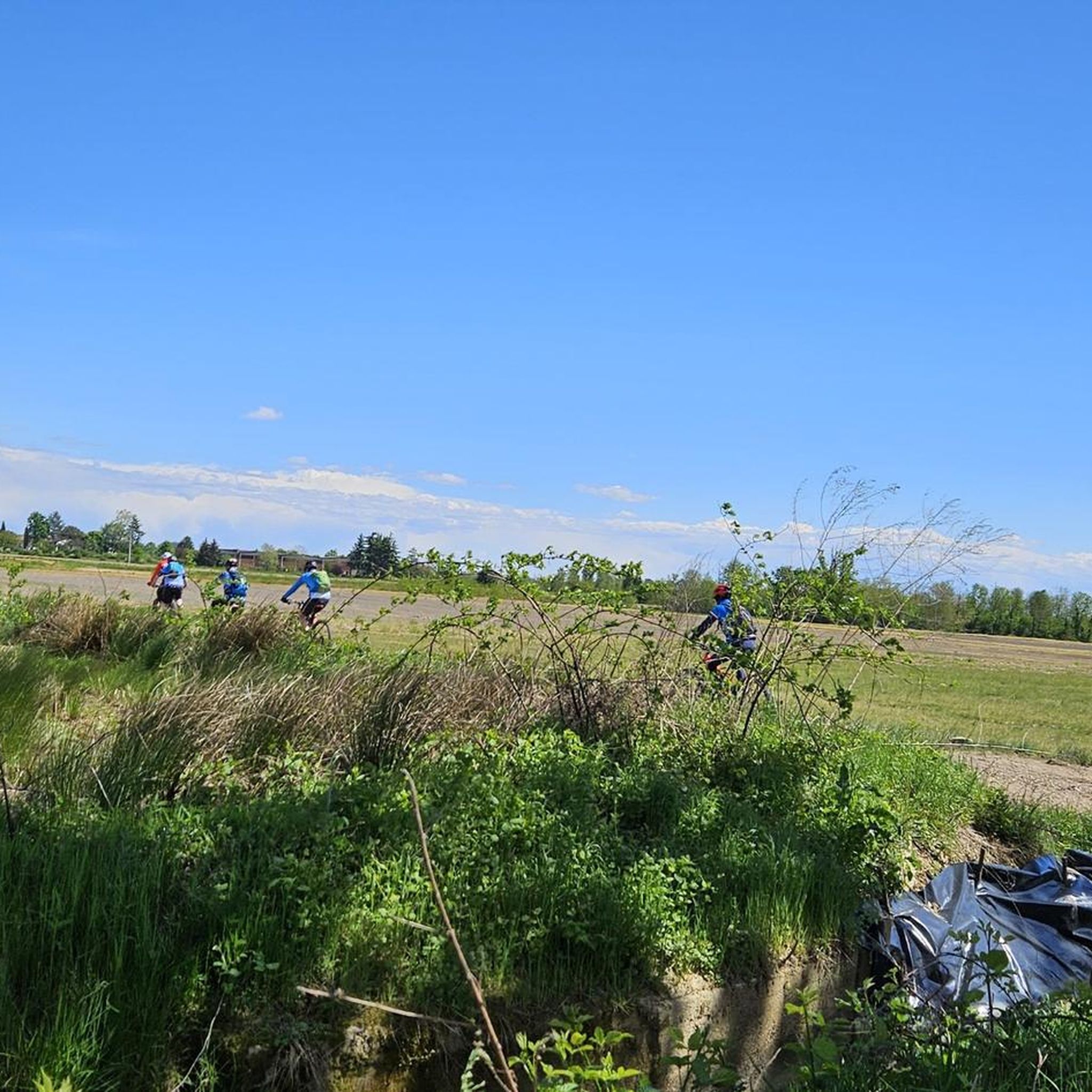
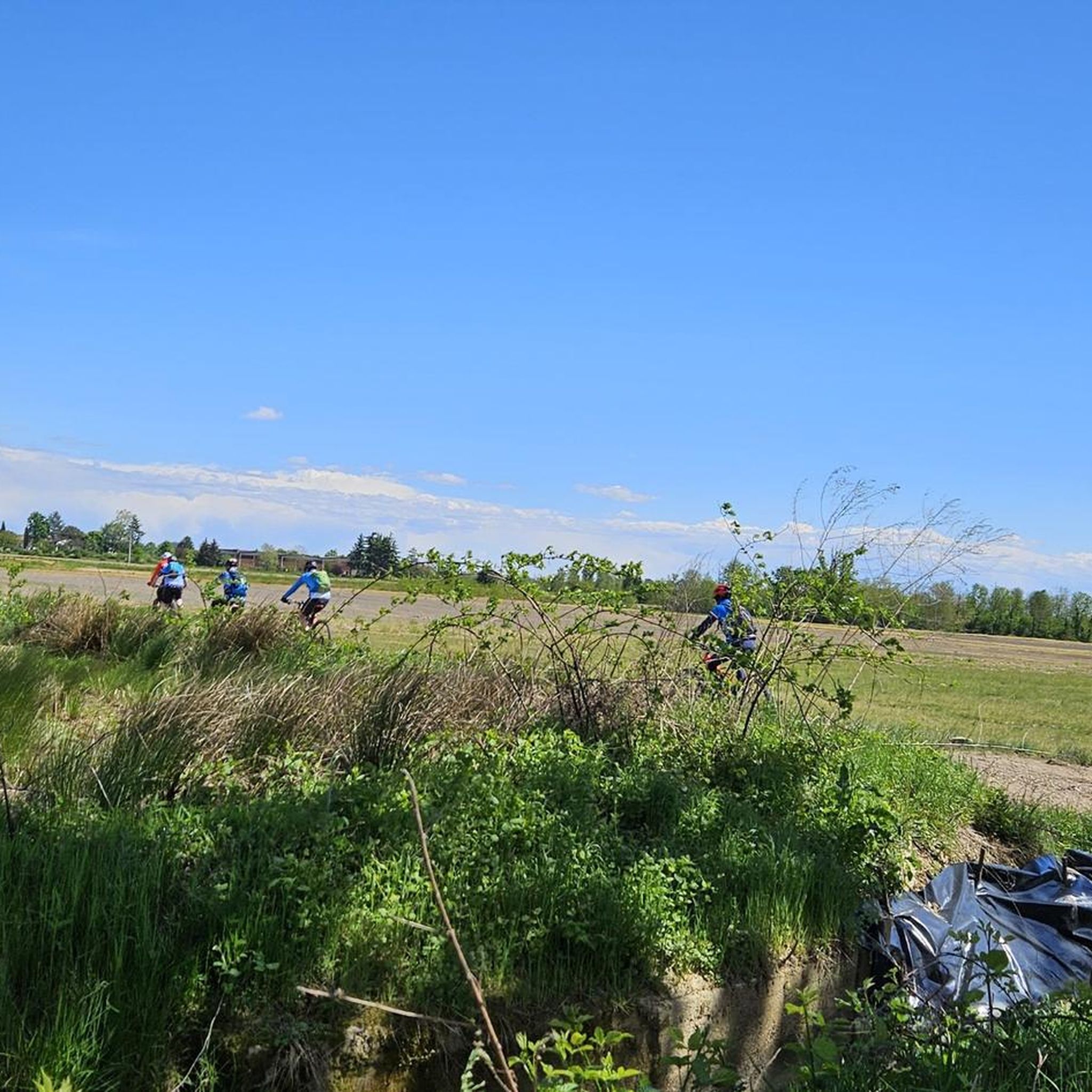
Super trail and terrain, drains immediately and grip always at the top!
2
0

The Lame del Sesia park extends over an area of approximately 900 hectares along a stretch of almost 8 kilometers of the Sesia river, located between the provinces of Novara and Vercelli. The river environment, enriched by blades, meanders, bodies of water, woods, gravels and sands, constitutes an important natural oasis in stark contrast to the surrounding landscape characterized by rice monoculture.
2
0

It is a 57 meter deep well built by the Municipality of Fara in 1913 to allow the collection of chemically drinkable water for the population. The town, in fact, suffered from a shortage of drinking water, and used unsafe wells, such as the pump one currently visible in Via Capour. The creation of the fountain was entrusted to Giuseppe Portigliotti, author of many architectural and decorative elements in concrete, both in Fara and in neighboring towns. The structure consists of a parallelepiped cabin with an opening at the back, refined by four corner pilaster pillars ending in a frame. Above, in correspondence with the corners, four decorative spheres are placed, while in the center stands a small square lantern with four small windows, surmounted by a pagoda roof culminating with a fifth sphere. At the top, like a spire, a ventilation chimney with a terminal spire rises towards the sky. The front of the monument, on Via Battisti, features a small neoclassical basin basin. Above, beyond the modern and ancient taps, there is a writing in relief, in concrete, showing the name of the fountain and the depth of the well. On the frame, however, is the date of creation of the monument. During the fascist period, on the right side of the Source, therefore visible from those descending via Battisti in the direction of Novara, a fasces surrounded by the initials of the Fascist Party was painted. Today it is still visible, faded by time and post-war erasure attempts. Source: Wikipedia
0
1
The park extends for approximately 900 hectares on a stretch of almost 8 kilometers of the Sesia river, straddling the border between the provinces of Novara and Vercelli. The environment of the Lame del Sesia park is typically fluvial with blades, meanders, bodies of water, woods, gravels and sands. A natural oasis in stark contrast to the surrounding landscape characterized by the predominance of rice monoculture. For info and visits: https://www.parcoticinolagomaggiore.com/it-it/aree-protette/servizi/parco-naturale-delle-lame-del-sesia
2
0

interesting geological formations gullies overhanging the Cervo stream
0
2

The Rive Rosse are located in the eastern part of the Biellese. The unusual landscape, from the Strona di Vallemosso Valley and through Masserano to Curino, is due to two of its geological peculiarities. Part of it is made up of hundreds of millions of years old granite formed in the subsoil of an old Paleo-African continent that was at the height of the Equator and which was "pushed" towards present-day Europe. The other part is made up of huge lava flows that have completely covered the territory that would have become a part of eastern Biella after being submerged by primordial oceans and later "exhumed" during the uplift of the Alps about forty million years ago. . These rocks have an orange-reddish color: and are called "Rive Rosse". If we also add up the strong erosion, which has been going on for several hundreds of thousands of years and which has transformed many slopes into deposits of large quantities of sand (there is even a church dedicated to the Madonna del Sabbione), it is understandable why the landscape takes on different aspects so unreal almost ... Martians! http://www.mtbriverosse.it/joo/le-rive-rosse
3
0
ロヴァゼンダでのの人気観光スポット

komootモバイルアプリでインスピレーションを得よう


さらに探索
これらのガイドで、最高の洞窟を探す範囲を広げましょうロヴァゼンダでの:
