ブドーイアの峠・トップ9
風景を楽しんだり、上りや下りを満喫したり、峠には楽しみ方がたくさんあります。ブドーイアの素晴らしい峠の一覧を参照して、思い出に残るアドベンチャーに出かけましょう。コミュニティのメンバーがコミュニティのために投稿した峠のハイライトは、他のユーザーが実際におすすめする情報なので、どれも信頼できるものです。気に入った峠にさっそく向かってみましょう。
最終更新日: 9月 17, 2026
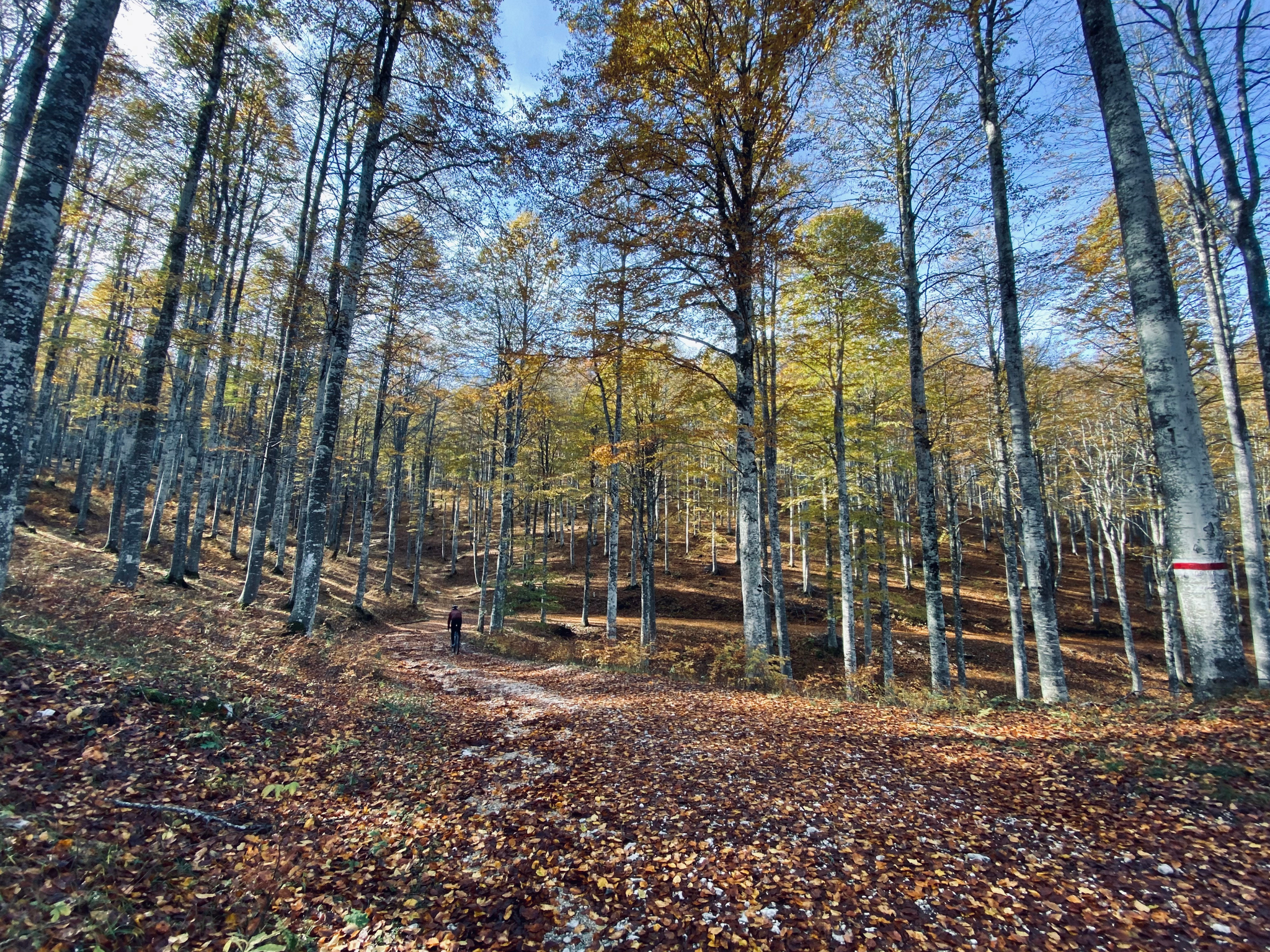
オステリア ラ クロセッタ
ハイライト • レストラン
自家製デザートをお勧めします。秋の時期に立ち寄るなら、午後に栗とホットワインがあります。
翻訳を表示中
役立つ情報 は

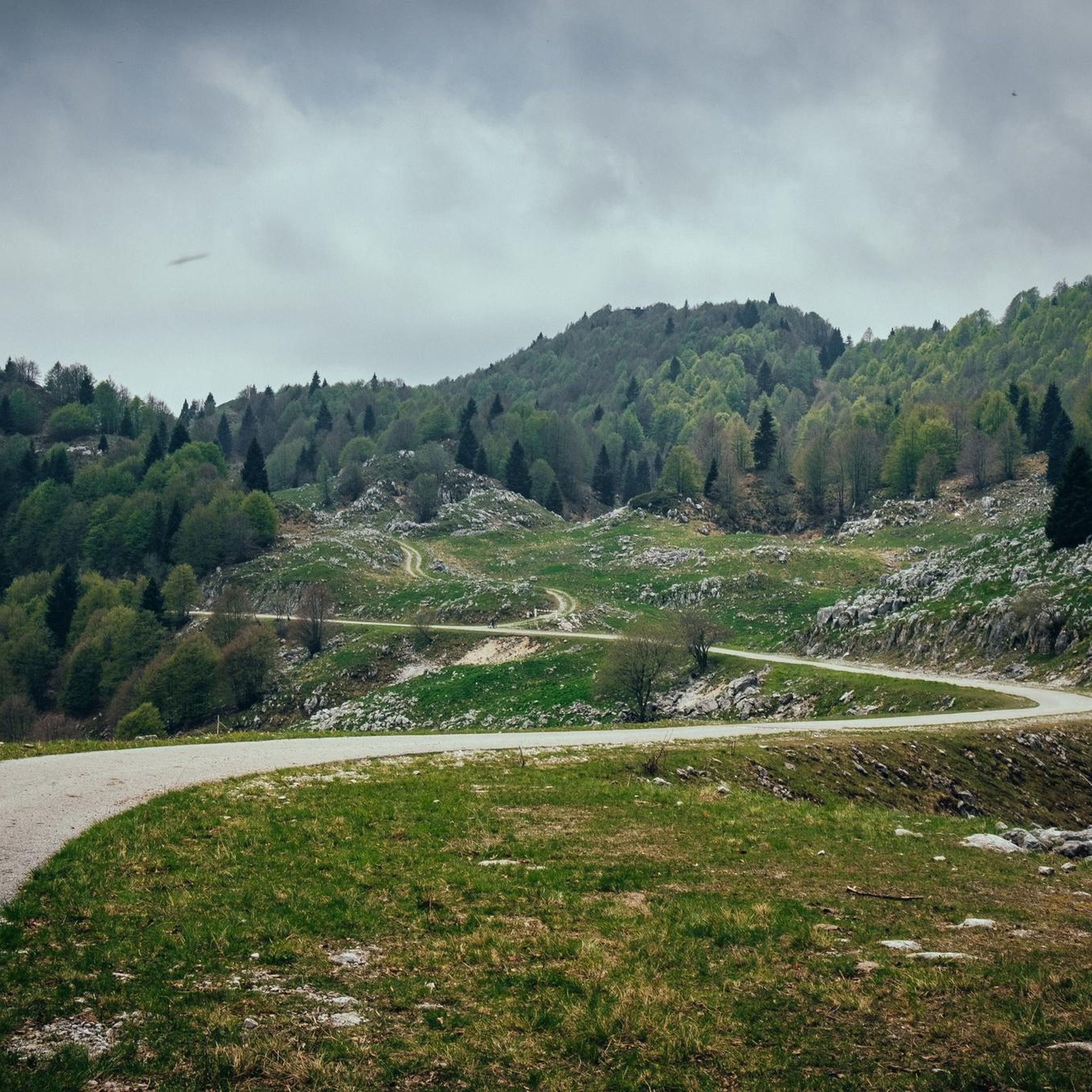
ファダルト峠
ハイライト • 山道
翻訳者 Google •
役立つ情報 は

今すぐサインアップして、こんな場所を発見しよう
最高のシングルトラック、ピーク、その他のエキサイティングなアウトドアスポットのおすすめを受け取ろう。
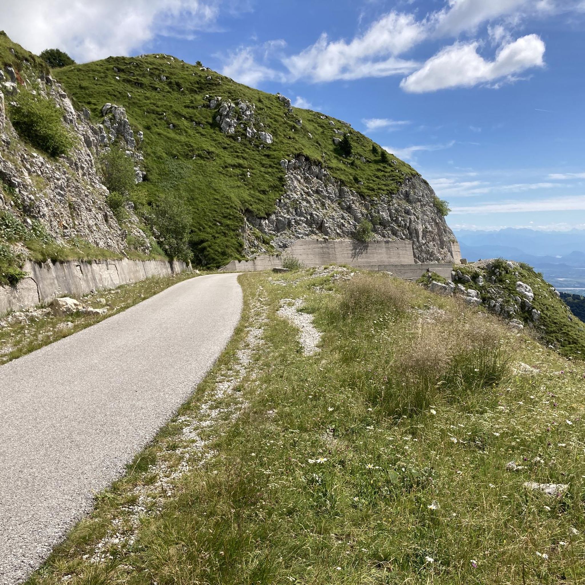
サウクの鞍部
ハイライト • 山道
翻訳者 Google •
役立つ情報 は

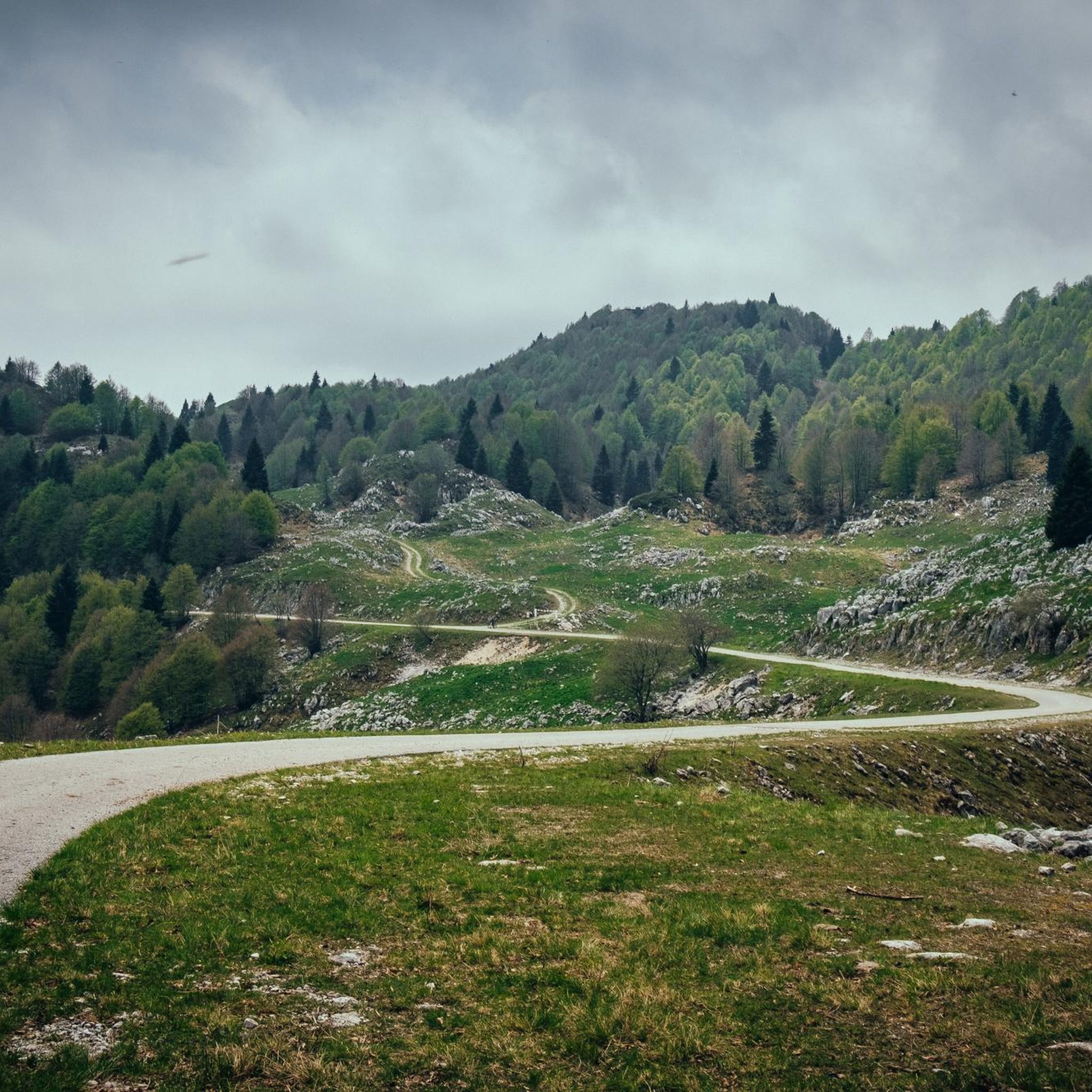
コル・デル・ロヴォ
ハイライト • 山道
翻訳者 Google •
役立つ情報 は

ピアンカヴァッロ–カンシーリオ絶景ロード
ハイライト • 山道
翻訳者 Google •
役立つ情報 は

無料でサインアップして、さらに多くの山道を発見しましょう ブドーイアでの。
すでにアカウントをお持ちですか?
無料アカウントで今日から始めよう
次の冒険が待っています。

ブドーイアでのの他の冒険

コミュニティからのヒント

クロゼッタ・リストーロは、トレヴィーゾ平野とカンシリオ高原を結ぶ同名の峠の標高1,118メートルに位置し、ハイカー、サイクリスト、バイカーにとって歴史的かつ必見の立ち寄り場所です。石と木で作られたこの居心地の良い施設は、山のホスピタリティのエッセンスを体現しており、一年を通してリフレッシュできる避難場所を提供しています。料理は、狩猟肉料理、カンシリオの典型的なチーズ、温かいポレンタ、新鮮なキノコを主とし、自家製デザートと地元のワインを添えた、ヴェネト・ベッルネーゼの伝統の本格的な味を提供しています。何世紀も続くブナとモミの森に囲まれたこの場所は、戦略的な立地を誇り、周辺の数多くの自然遊歩道を探索するための理想的な出発点または休憩場所となっており、リラックスと美食をテーマにした昔ながらの雰囲気を醸し出しています。
0
0

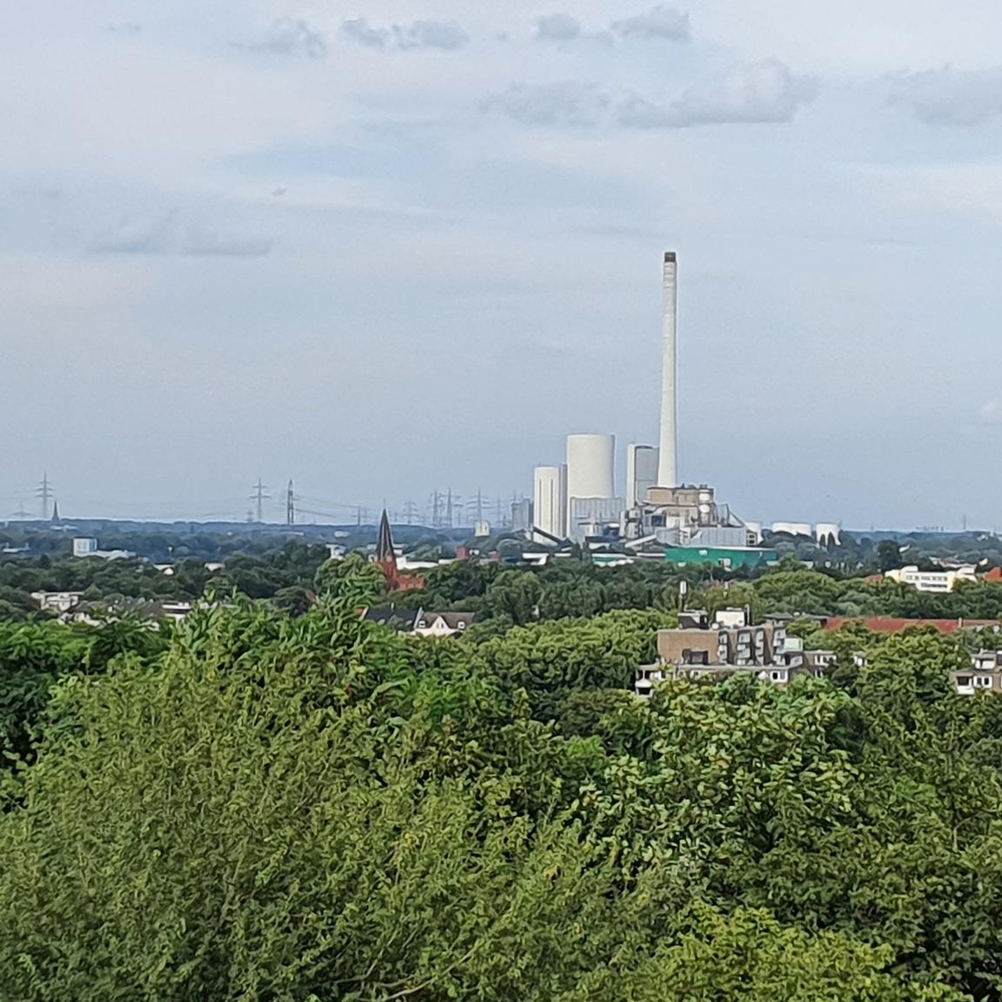
Tolle Route nach Piancavallo
0
0

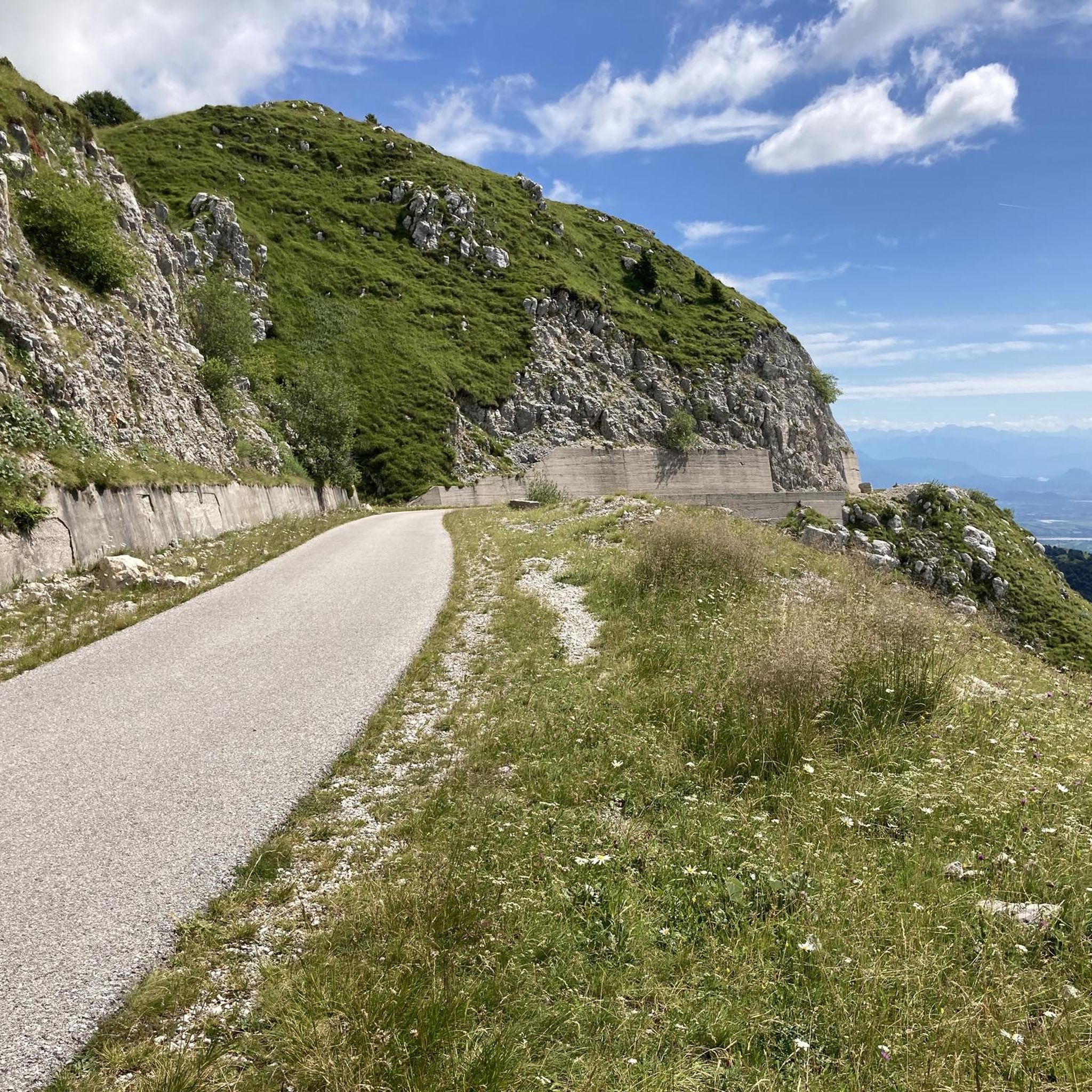
Pass located between the border of Veneto and Friuli Venezia Giulia.
18
0
Osteria located right at Passo Crosetta, ideal for a stop and a breather.
20
0

Very suggestive panorama on the plain ending at the sea
0
0
Winter biking is also possible in Piancavallo
0
0

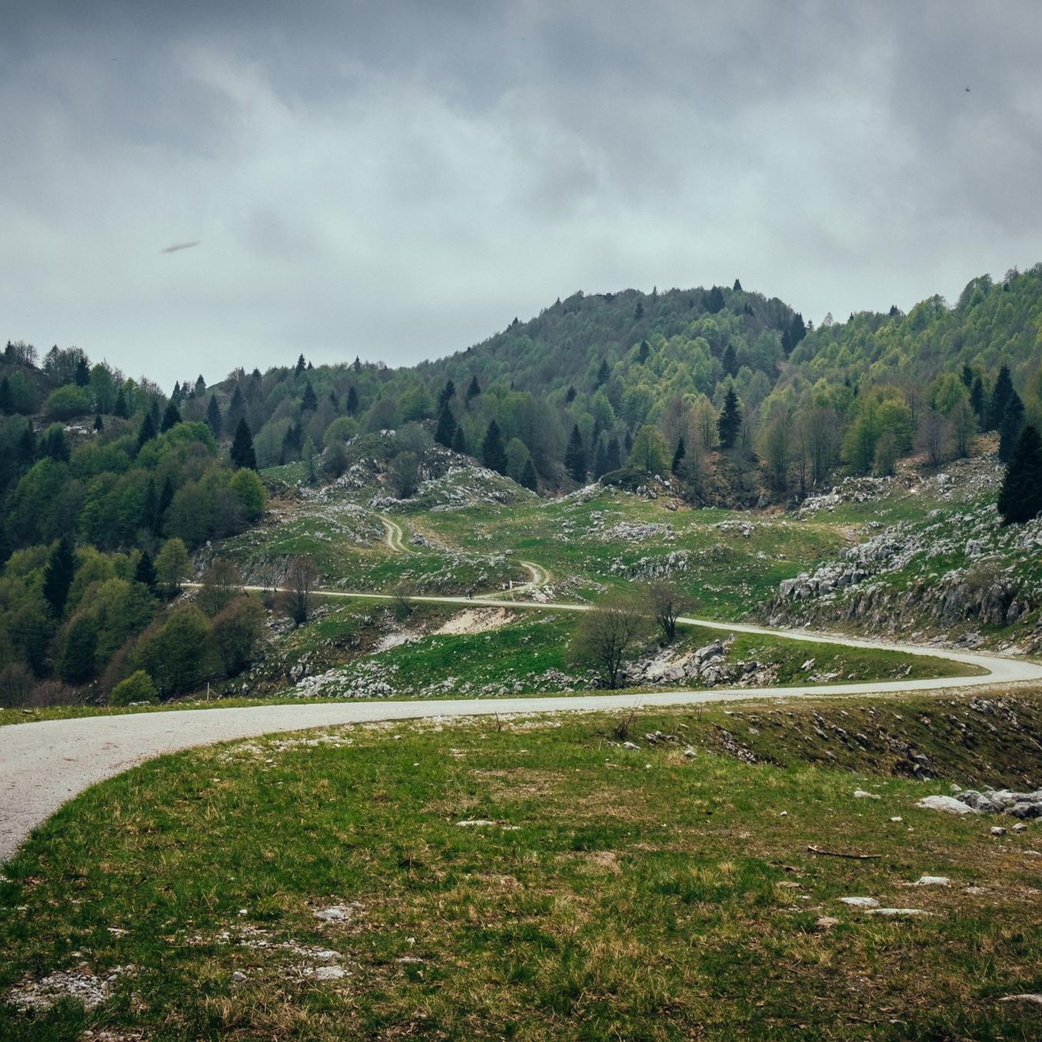
Beautiful panoramic road that starts in Sauc and ends at the Crosetta pass. The itinerary offers several variants towards the Cansiglio plain and downhill towards the plain.
0
0
The Sauc saddle divides Mount Sauc from Col Cornier and opens up the panorama over the plain and Piancavallo.
0
0

komootモバイルアプリでインスピレーションを得よう


さらに探索
これらのガイドでさらに壮大な山道を見てみましょうブドーイアでの:
