マンフレドニアの天然記念物・トップ7
マンフレドニアが誇る美しい風景を見てみたいなら、マンフレドニアの素晴らしい天然記念物・トップ7
に行ってみましょう。あなたにぴったりの場所が見つかるよう、素晴らしい天然記念物を探索するために必要なすべての情報を集めました。次のアウトドアの冒険に出かける計画の参考にしましょう。
最終更新日: 10月 14, 2026
モンテ・カルヴォ
ハイライト • 山頂
翻訳者 Google •
役立つ情報 は

ヴァッレ・デッリンフェルノ
ハイライト • 峡谷
翻訳者 Google •
役立つ情報 は

今すぐサインアップして、こんな場所を発見しよう
最高のシングルトラック、ピーク、その他のエキサイティングなアウトドアスポットのおすすめを受け取ろう。
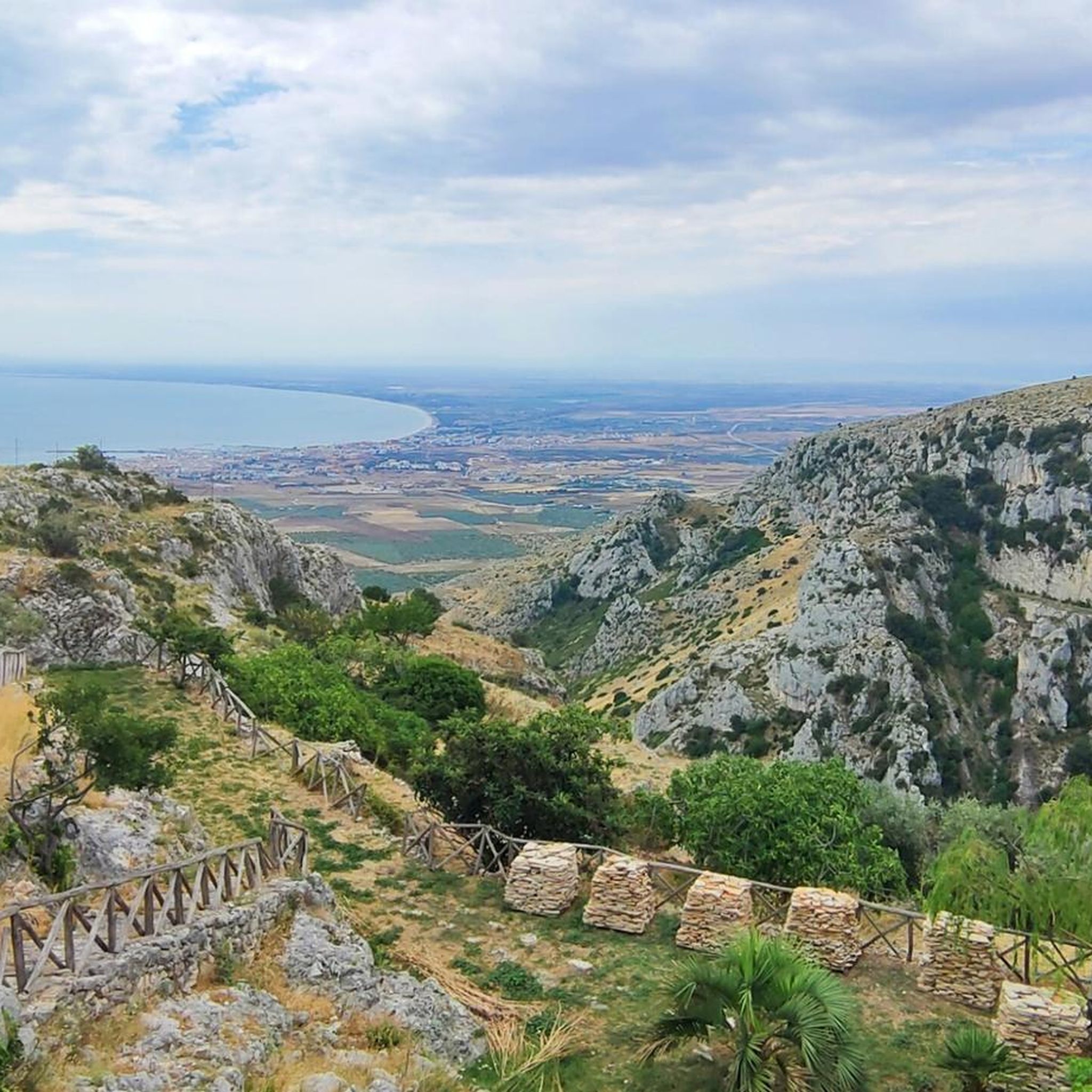
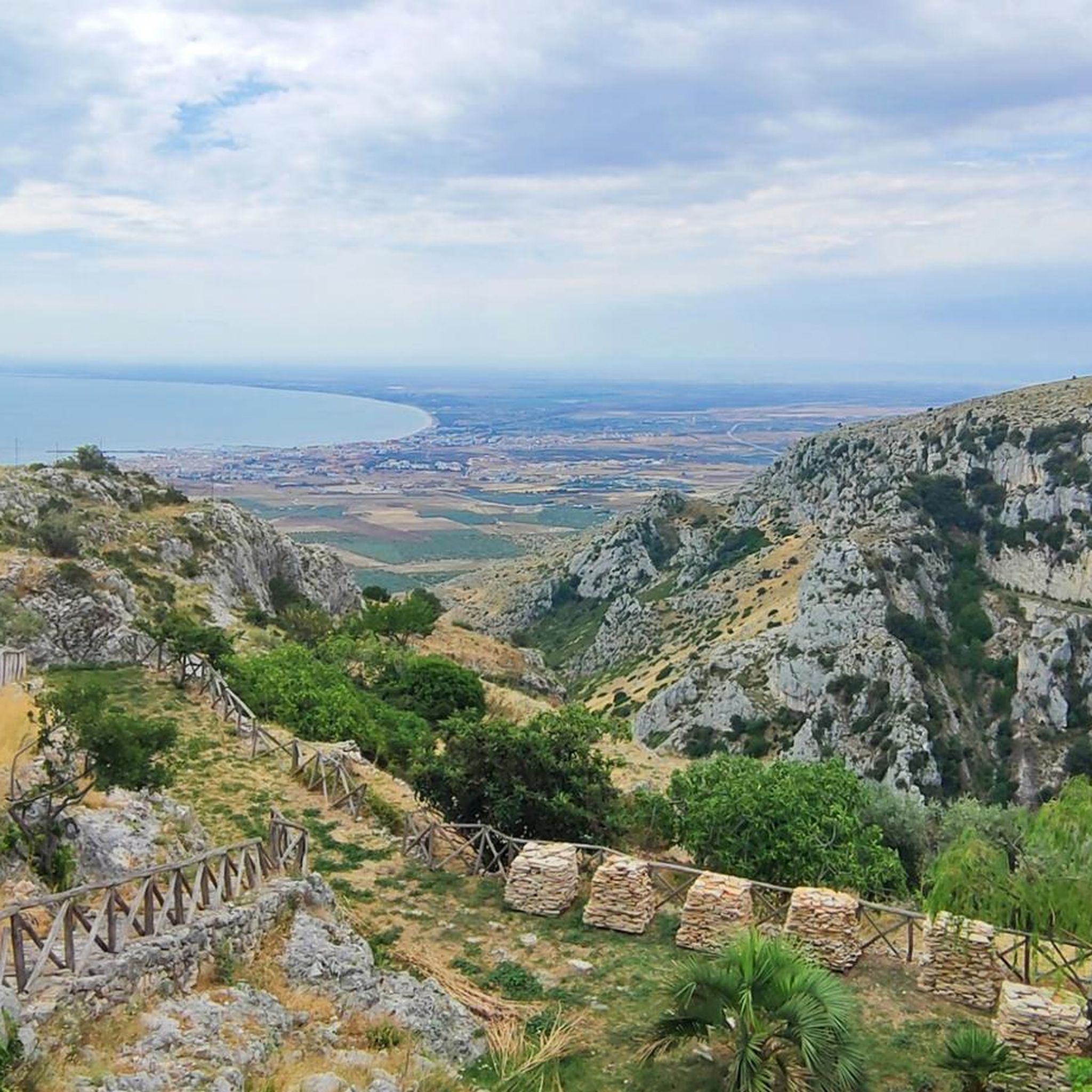
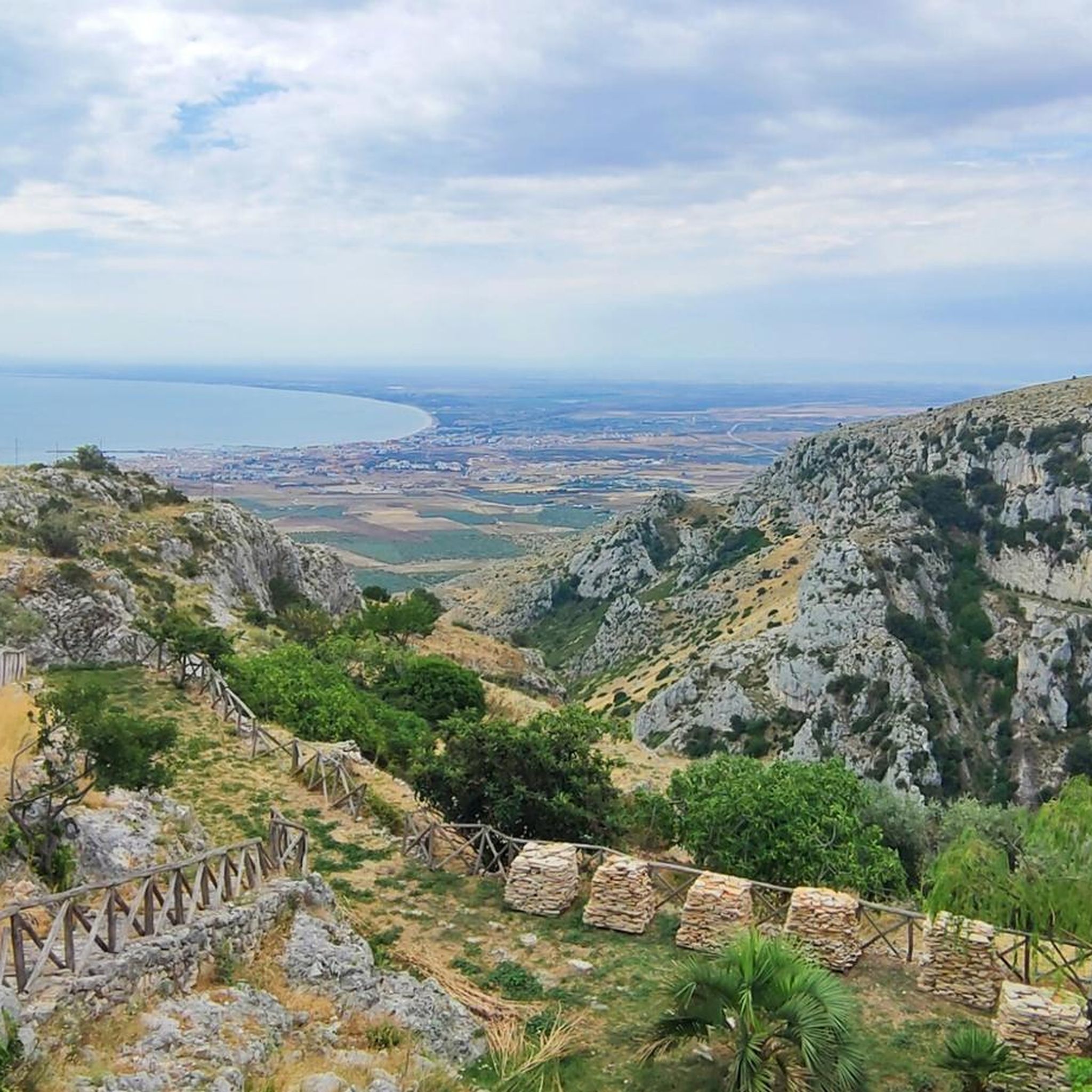
モンテ・サンタンジェロのマッティナータ側から望むマンフレドニア湾の眺め
ハイライト (セグメント) • 展望台
翻訳者 Google •
役立つ情報 は

Monte Croce
ハイライト • 自然記念物
翻訳者 Google •
役立つ情報 は

ヴィア・ベルヴェデーレの展望スポット
ハイライト • 展望台
The city …
翻訳者 Google •
役立つ情報 は

無料でサインアップして、さらに多くの自然記念物を発見しましょう マンフレドニアでの。
すでにアカウントをお持ちですか?
無料アカウントで今日から始めよう
次の冒険が待っています。

コミュニティからのヒント

On Monte Calvo, it's best to ascend from the east by mountain bike, despite the numerous unnecessary stone steps that clutter the initial section. The trail, which descends west from the summit to connect with the Sentiero delle Anguille, would be less rideable and much more difficult overall.
1
0


Wonderful pleasure descent to Mattinata. Good road surface. Not too steep, so it's great to drive uphill too.
1
0

The road that connects Mattinata and Monte Sant'Angelo is winding and panoramic. The climb is about 12 kilometers long for 500 meters in altitude. It is demanding because it is long and constant, but the slopes are always pedalable with an average of 4%. On the way down, be careful not to get too distracted by the spectacular views of the Gulf of Manfredonia.
1
0

Territory characterized by the presence of boulders and sinkholes. Sinkholes (dol is a term of Slovenian origin which means small valley) are basins formed by the erosion of limestone rocks by rainwater or by their subsidence following the dissolution of limestone by water circulating underground.
1
0

This valley is considered one of the most spectacular in the Gargano, and is often taken as a "symbol" of this morphological peculiarity of the southern slope of the promontory. The karst phenomena are very evident due to the caves, natural arches, pinnacles and other cavities on the vertical walls which offer shelter to numerous rock birds.
0
0

Mount Calvo is the highest peak among those that make up the Gargano massif in Puglia. It reaches an altitude of 1065 m (fifth peak in the region) and has an evident karst morphology. It owes its name to a completely barren peak, surrounded, however, by imposing and dense forests that cover its slopes and extend for most of the territory of the Gargano national park. Among the most interesting aspects of this mountain are the numerous caves, inhabited since prehistoric times. There have been several archaeological finds of finds attributable to the Neolithic: rudimentary parts of axes, flints and various types of tools confirm the presence of man on the Gargano plateaus even in prehistoric and protohistoric times (Dauna civilization).
27
0

The square that enjoys this panorama is located in the west side of the town. Equipped with parking and benches. Excellent starting point for visiting the historic center. The city on the sea close to it is Manfredonia. Breathtaking panorama. Always open.
2
0
マンフレドニアでのの人気観光スポット

komootモバイルアプリでインスピレーションを得よう


さらに探索
これらのガイドで、最高の洞窟を探す範囲を広げましょうマンフレドニアでの:
