グイーリアの天然記念物・トップ20
グイーリアが誇る美しい風景を見てみたいなら、グイーリアの素晴らしい天然記念物・トップ20
に行ってみましょう。あなたにぴったりの場所が見つかるよう、素晴らしい天然記念物を探索するために必要なすべての情報を集めました。次のアウトドアの冒険に出かける計画の参考にしましょう。
最終更新日: 9月 17, 2026
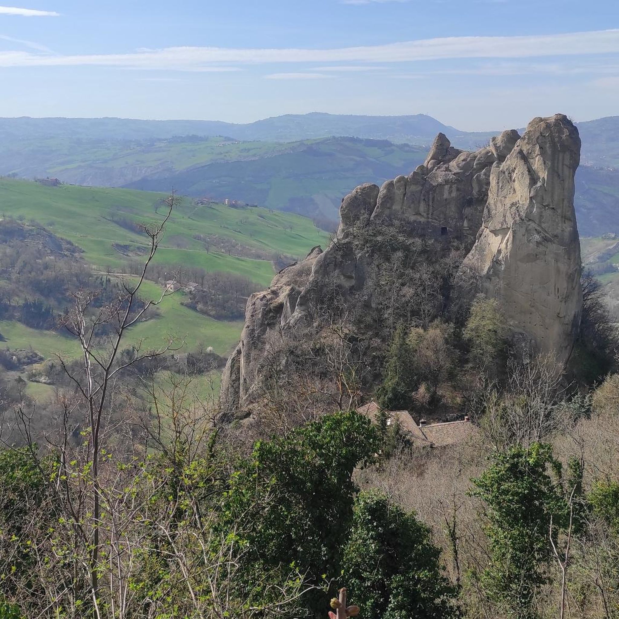
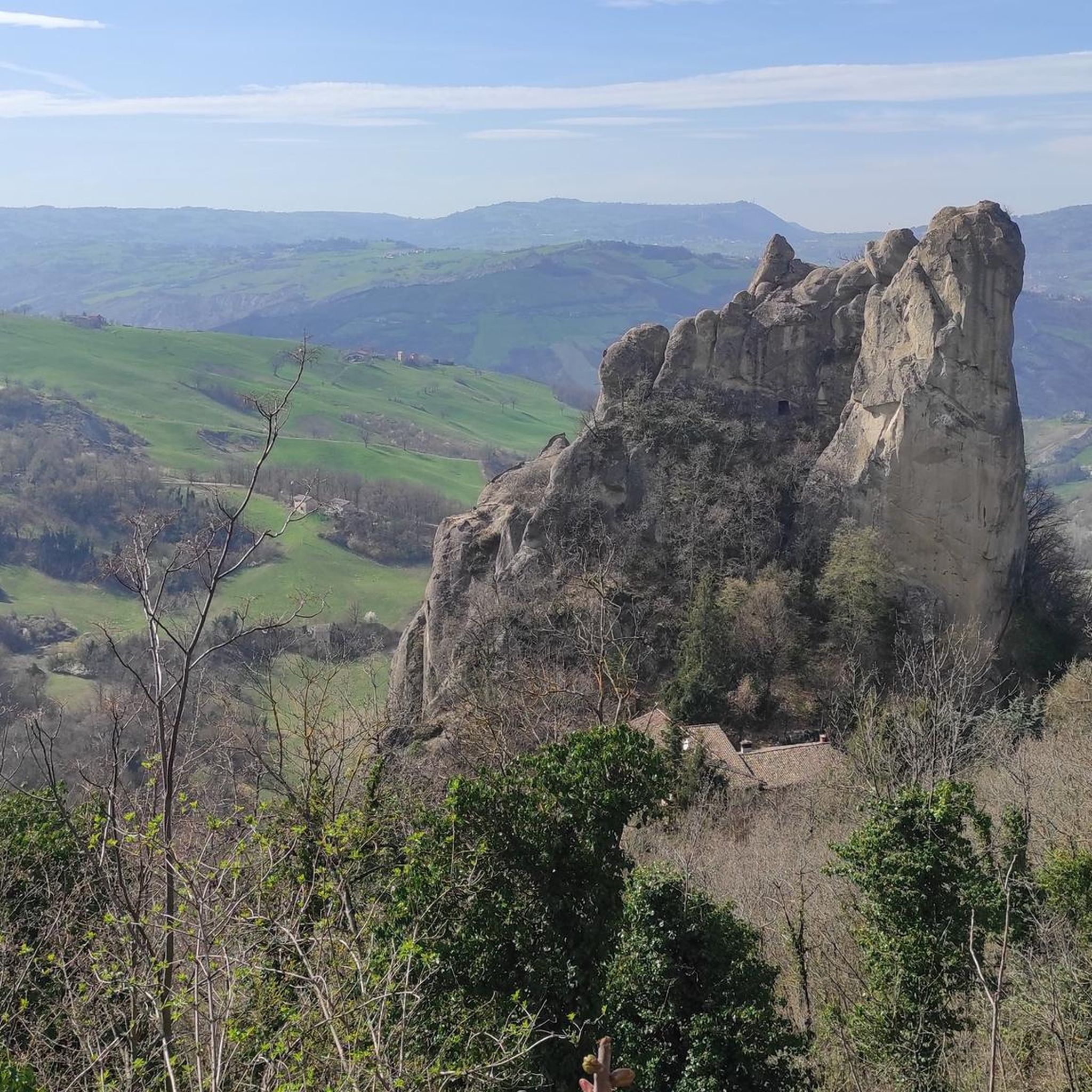
ロッカマラティーナのサッシ
ハイライト • 自然記念物
翻訳者 Google •
役立つ情報 は

モンテ・トレ・クローチ
ハイライト • 山頂
翻訳者 Google •
役立つ情報 は

今すぐサインアップして、こんな場所を発見しよう
最高のシングルトラック、ピーク、その他のエキサイティングなアウトドアスポットのおすすめを受け取ろう。
ブカマンテの滝
ハイライト • 滝
役立つ情報 は

クッケルラの丘
ハイライト • 山頂
翻訳者 Google •
役立つ情報 は

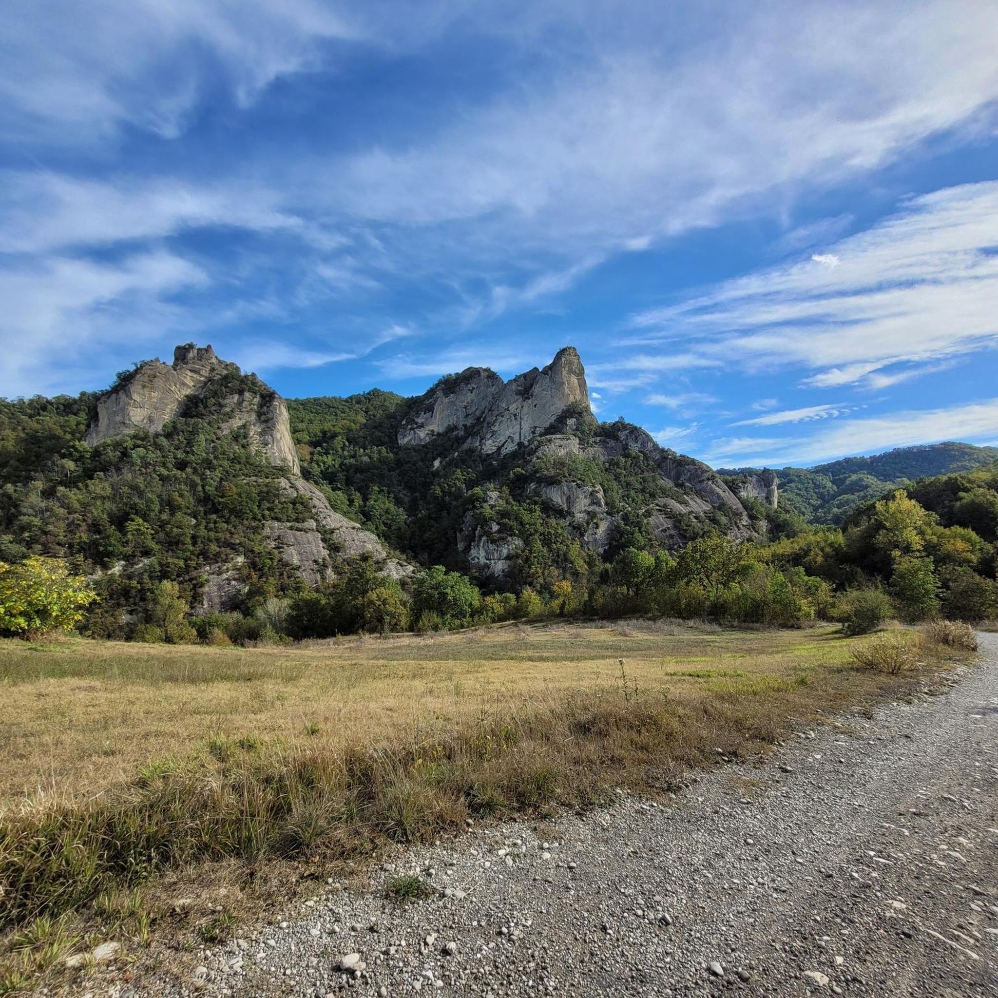
サッソ・ディ・サンタンドレア
ハイライト • 自然記念物
No equipment required, as you get directly to the top of the stone from the access path.
Attention to …
翻訳者 Google •
役立つ情報 は

無料でサインアップして、さらに多くの自然記念物を発見しましょう グイーリアでの。
すでにアカウントをお持ちですか?



コミュニティからのヒント


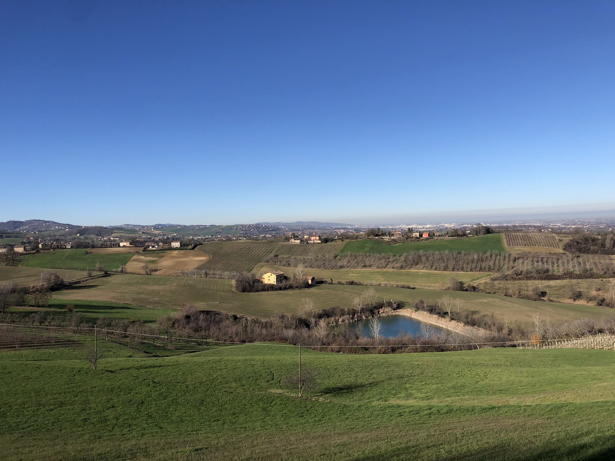
..."From the top of the Sasso you can enjoy a wide panorama that embraces the vast expanse of the Po Valley to the north and to the south, in a closer glimpse, the Montecorone valley."... ..."The herbaceous undergrowth layer of the mesophyte formations is home to numerous species belonging to the list of protected regional flora; there are numerous species of orchids and liliaceae."... Cit: https://www.parchiemiliacentrale.it/parco.sassi.roccamalatina/punti-interest-natura-dettaglio.php?id=184
0
0

August 2023, the heavy rains of the past months made parts of the "low" path unusable. If before accessing it was within everyone's reach, including children, now it requires greater attention.
1
0

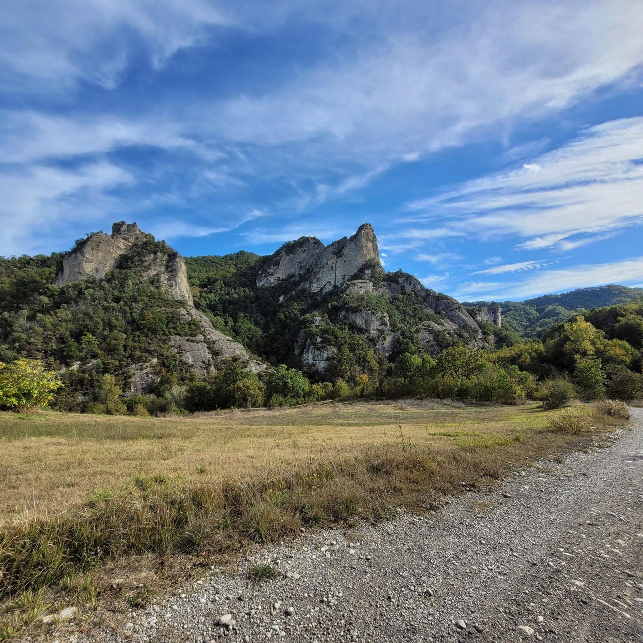
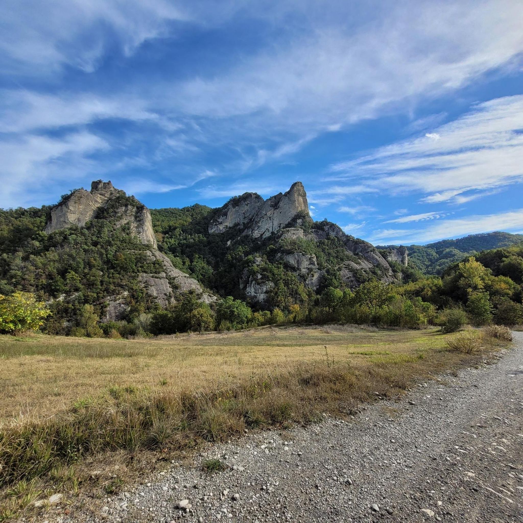
From the road, take the dirt road that takes you to the visitor center. For centuries these stones have been used as a military defensive point. First came the Byzantines then the Malatigni family in medieval times. There are paths both on foot and by MTB to see the stones from different angles.
3
0

on the "summit" there are two picnic tables
0
0

The path, short and circular, develops on the slopes of the hill facing the castle and combines the interest relating to the traditional landscape of the hill with the historical one linked to the fortifications which in medieval times completed the defensive system of the castle of Monteveglio, affecting precisely the Cucherla hill (296 m) and other nearby reliefs. It, called Monte Calvario between the 17th and 18th centuries due to its bare appearance and a cross on the top, housed the chapel known as the Madonna della Cucherla. Today the top of the relief, which can be reached by skirting an ancient vineyard, is covered by a coppice of downy oak and manna ash. In spring and early summer, various species of orchids, all protected, bloom in the brightest spots. On the southern slope, thanks to the favorable microclimate, specimens of fig, almond and olive trees grow. Source: https://enteparchi.bo.it/itinerary-2-salita-a-monte-gennaro/
1
0
グイーリアでのの人気観光スポット

komootモバイルアプリでインスピレーションを得よう


さらに探索
これらのガイドで、最高の洞窟を探す範囲を広げましょうグイーリアでの:
