カザルフィウマネーゼの峠・トップ5
最終更新日: 10月 28, 2026
コルソ峠
ハイライト • 山道
The …
翻訳者 Google •
役立つ情報 は

コニアーレからヴァリコ・デル・パレタイオ
ハイライト (セグメント) • 山道
翻訳者 Google •
役立つ情報 は

今すぐサインアップして、こんな場所を発見しよう
最高のシングルトラック、ピーク、その他のエキサイティングなアウトドアスポットのおすすめを受け取ろう。
レ・カルバーネ – ジロ・デ・イタリア絶景ルート
ハイライト (セグメント) • 山道
翻訳者 Google •
役立つ情報 は

ザッタリア峠
ハイライト • 山道
翻訳者 Google •
役立つ情報 は
パッソ・デッラ・ラティコーザ道路
ハイライト (セグメント) • 山道
翻訳者 Google •
役立つ情報 は
無料でサインアップして、さらに多くの山道を発見しましょう カザルフィウマネーゼでの。
すでにアカウントをお持ちですか?
無料アカウントで今日から始めよう
次の冒険が待っています。
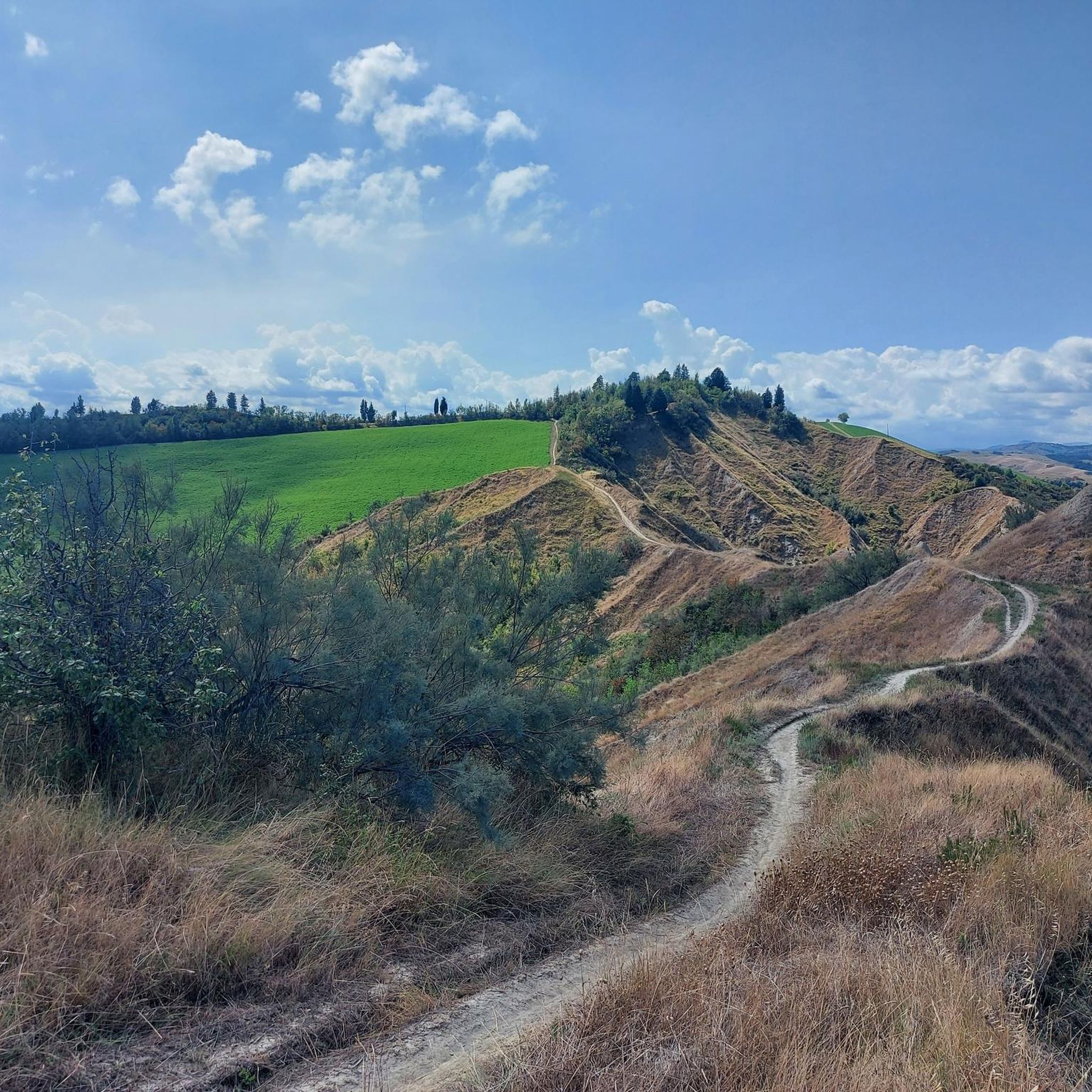
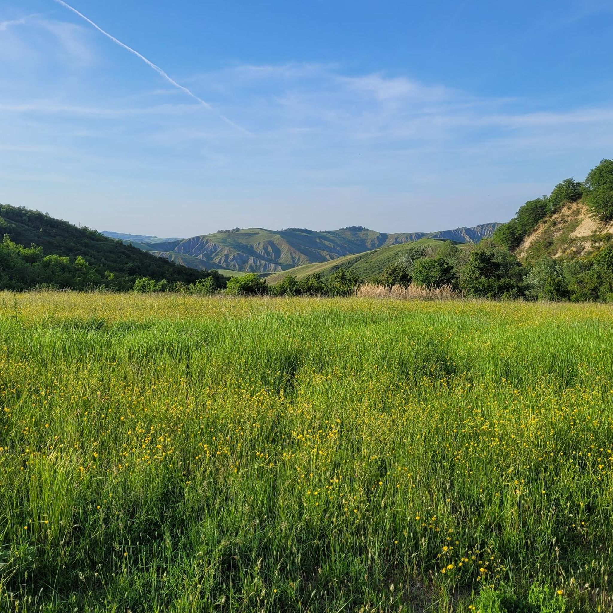
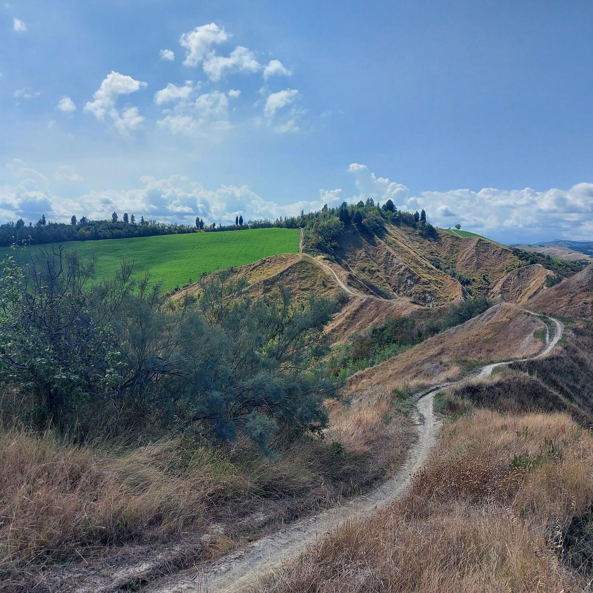
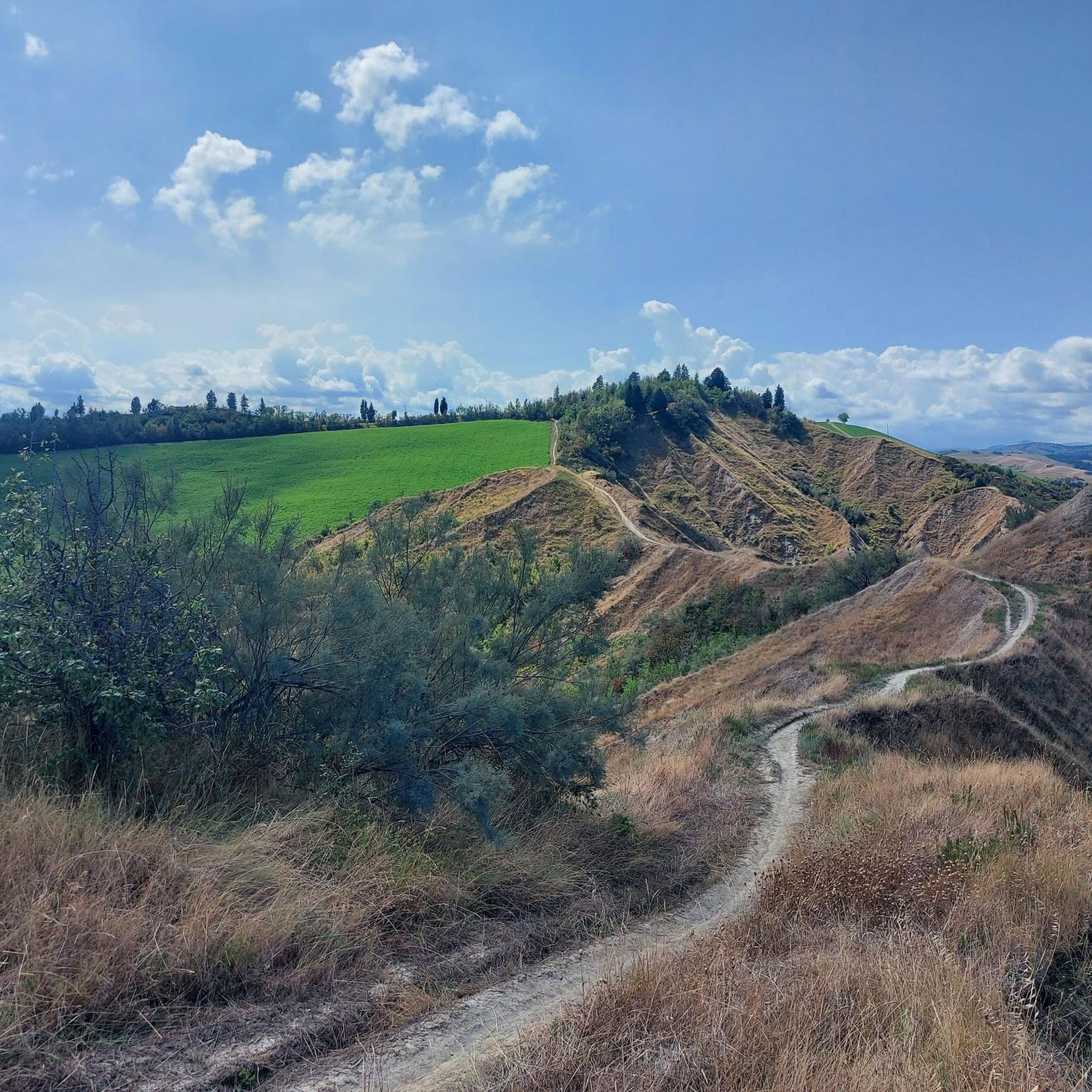

コミュニティからのヒント

beautiful climb with little traffic and spectacular views
0
0

mistakenly called "the Prugno pass", the Corso is a Via Romea, there was an ancient convent that gave hospitality to pilgrims.
1
0

The road would be very beautiful, since August 2023 it has been interrupted 2 km from the junction for Monte Battaglia, due to landslides due to bad weather in May 2023
0
0

The climb to the Paretaio pass from Coniale is long and not trivial: ten kilometers with an average gradient of 6%, making it one of the toughest climbs in the whole province of Florence.
1
0

Beautiful road that crosses the "Parco Regionale della Vena del Gesso", the asphalt is in good condition for most of the way. Panoramic road with beautiful views on the walls of the chalky ramparts.
1
0
The Raticosa pass is a pass in the Tuscan-Emilian Apennines located at an altitude of 968 m a.s.l. It is located in the province of Florence, in the municipality of Firenzuola, along the former state road 65 of the Futa. During the Second World War it was garrisoned by the German defensive line called the Gothic Line.
1
0
Also known as the lavender road, a plant that grows spontaneously along the roadside path and, particularly on the Senio side, is cultivated in small gardens along the roadside. The Pass can be reached from Casola Valsenio in 5.65 km or from Fontanelice in 6.9 km, both sides have regular climbs, without excessive peaks. A further alternative from the side of the Senio is the 7.6 km road which passes just upstream of Casola Valsenio through the hamlet of San Ruffillo and then joins up at the top with the road which runs along the two main sides.
3
0
カザルフィウマネーゼでのの人気観光スポット

komootモバイルアプリでインスピレーションを得よう


さらに探索
これらのガイドでさらに壮大な山道を見てみましょうカザルフィウマネーゼでの:
