トッシーチャの峠・トップ2
風景を楽しんだり、上りや下りを満喫したり、峠には楽しみ方がたくさんあります。トッシーチャの素晴らしい峠の一覧を参照して、思い出に残るアドベンチャーに出かけましょう。コミュニティのメンバーがコミュニティのために投稿した峠のハイライトは、他のユーザーが実際におすすめする情報なので、どれも信頼できるものです。気に入った峠にさっそく向かってみましょう。
最終更新日: 10月 28, 2026
ヴァド・ディ・コルノ
ハイライト • 山道
翻訳者 Google •
役立つ情報 は

モンテ・アクイラ峠
ハイライト • 山道
The Direttissima requires a fair amount …
翻訳者 Google •
役立つ情報 は

今すぐサインアップして、こんな場所を発見しよう
最高のシングルトラック、ピーク、その他のエキサイティングなアウトドアスポットのおすすめを受け取ろう。
Sella dei Grilli
ハイライト • 山道
翻訳者 Google •
役立つ情報 は

バッツァーノからカンポ・インペラトーレへのグラン・サッソ登り
ハイライト (セグメント) • 登山
翻訳者 Google •
役立つ情報 は
Piano di Hollera
ハイライト • 山道
翻訳者 Google •
役立つ情報 は

無料アカウントで今日から始めよう
次の冒険が待っています。

コミュニティからのヒント

グラッソサッソのアクイラーノ側とテラマーノ側の斜面を、あまり労せずに見るための素晴らしい方法
0
0

The climb to Campo Imperatore on Gran Sasso, starting from Bazzano, is a very long route of about 40 km with more than 1600 meters of elevation gain. The actual climb begins from Fonte Cerreto (1100 m), with the last 19 km featuring constant but moderate gradients (maximum 8-9%). The finish is on the immense and iconic plateau.
1
0

Well marked and clear indication point
0
0

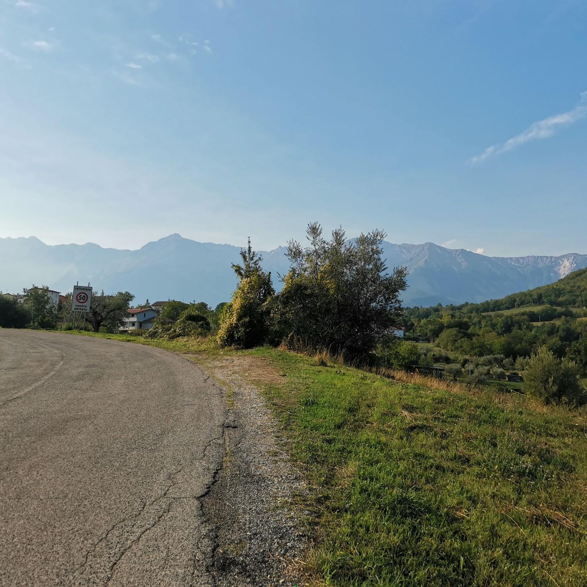
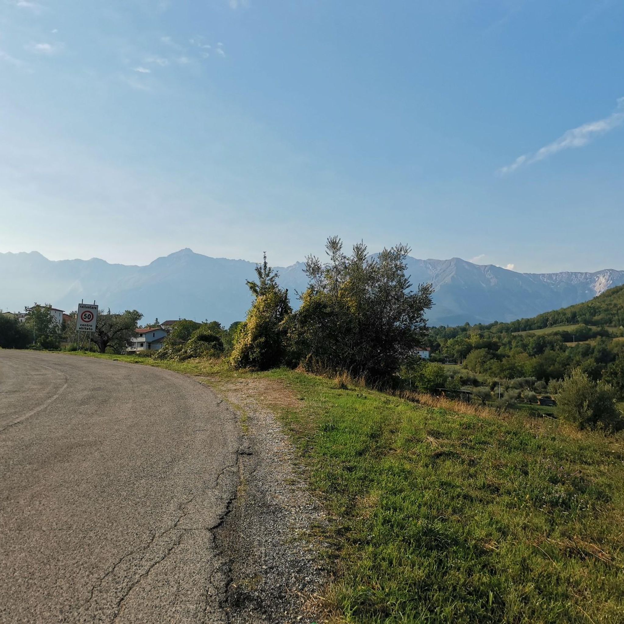
Campo Imperatore and the Gran Sasso chain, a unique and special place and a lot of all-Italian pastoral history 🇮🇹
0
0

the name comes from the huge amount of crickets you can come across (or at least I suppose, we've come across quite a few). From here you can go back down towards the valley, intersecting further on the I will enter epr meadows of tivo and for the Garibaldi. Or go up towards Pizzo Intermesoli.
0
0

At this crossroads it is possible to decide whether to go up to Corno Grande Occidental by the Via Normale or by the Direttissima. The Direttissima requires a fair amount of physical effort and there are a couple of steps that need to be tackled with caution.
2
0

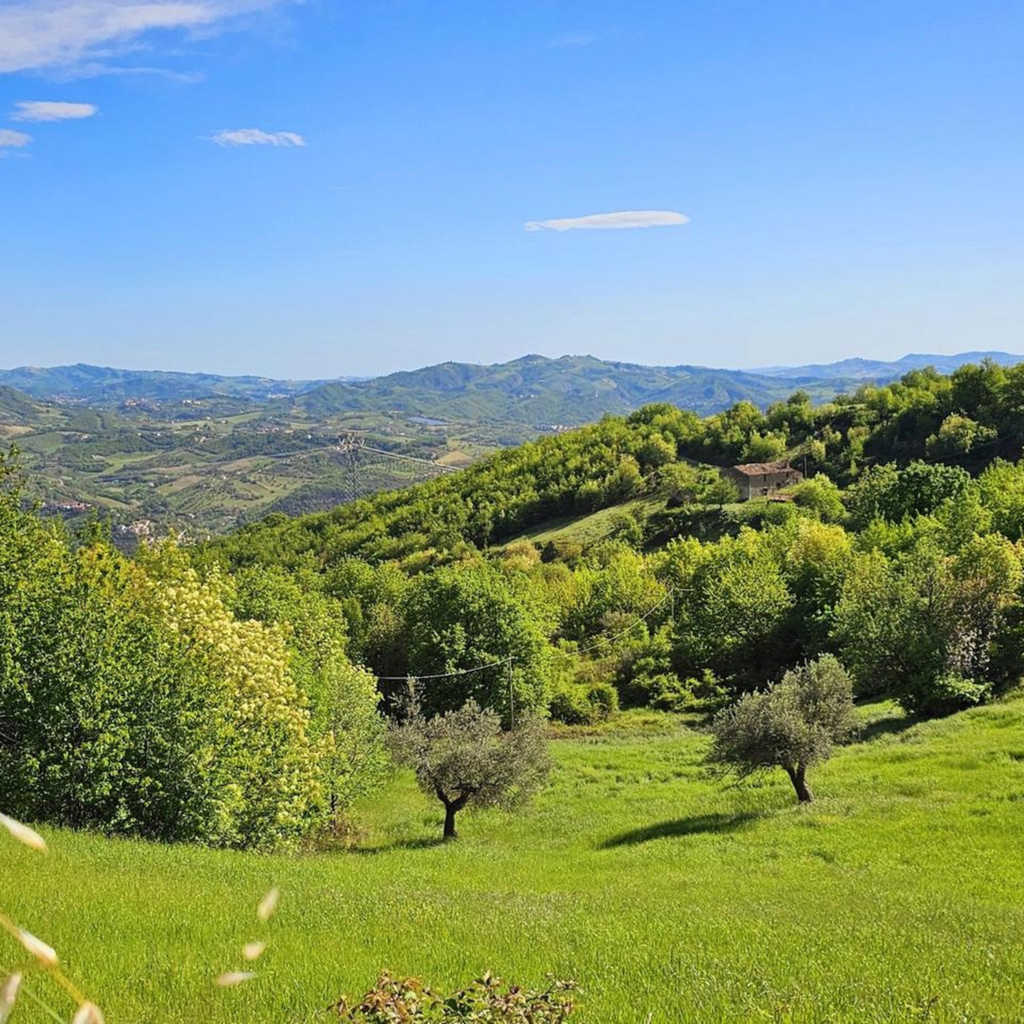
Contrary to what the name indicates, there isn't actually a lake here, but that's how the place is known. It is a pass that serves as the starting point for many hiking trails in the area. It offers a breathtaking view of the surrounding mountains.
0
0
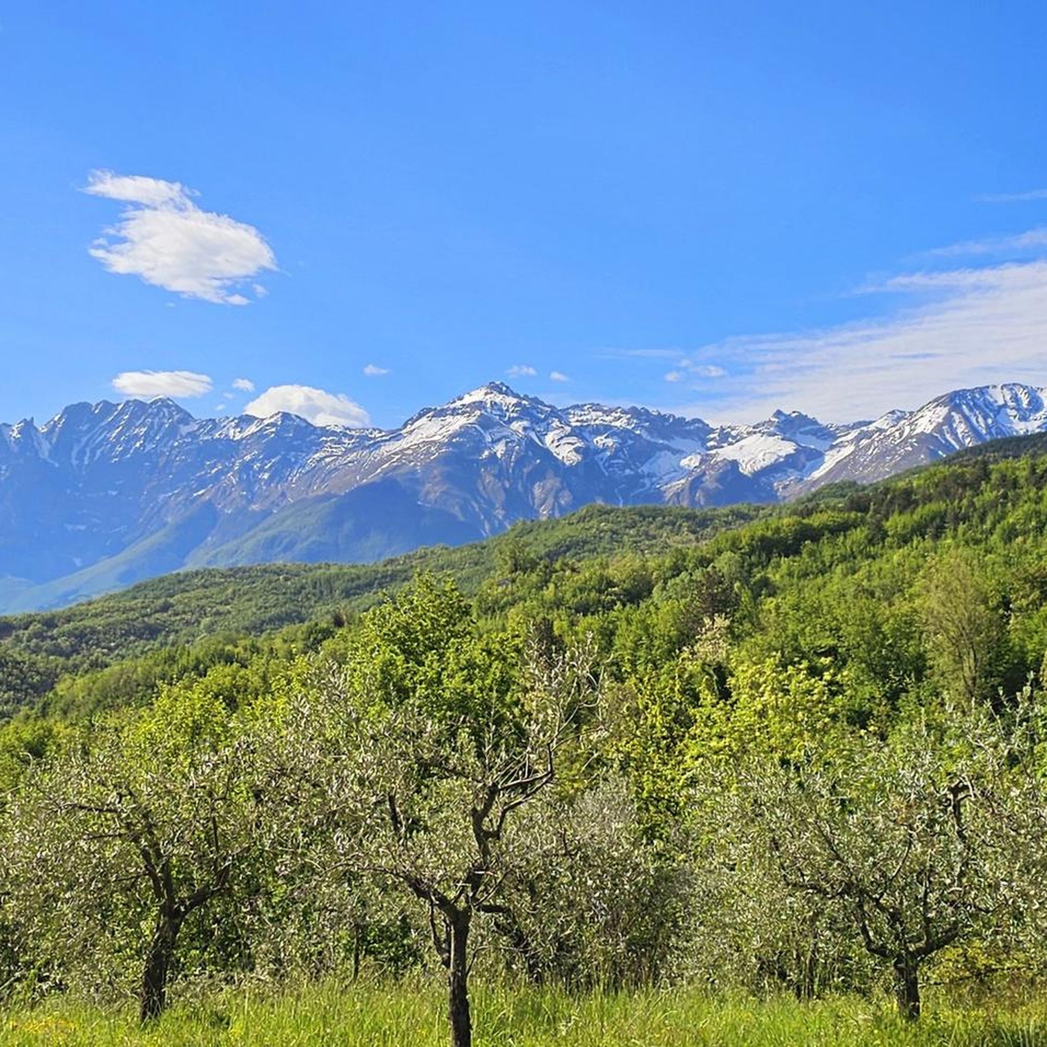
Vado di Corno is a pass at more than 1,900 meters above sea level, located on the Campo Imperatore plateau, in the heart of the Gran Sasso d'Italia. Various hiking trails also start from here, including the Centenary Trail and the ascent to Mount Aquila.
1
0
トッシーチャでのの人気観光スポット

komootモバイルアプリでインスピレーションを得よう


さらに探索
これらのガイドでさらに壮大な山道を見てみましょうトッシーチャでの:
