テントリンゲンの絶景の山頂・トップ11
絶景を目指して登るのであれ、達成感のために登るのであれ、山頂を訪れることで、テントリンゲンの美しい自然をもっと満喫することができます。11
もの選択肢の中から、制覇する山頂を決めるのは簡単ではありません。スムーズに次の冒険で目指す山頂を選べるように、テントリンゲンの素晴らしい山頂をこのガイドにまとめました。
最終更新日: 9月 13, 2026
ラ・ベラ山頂
ハイライト • 山頂
翻訳者 Google •
役立つ情報 は

グロッサー・シュヴィーベル山頂&山のレストラン
ハイライト • 山頂
翻訳者 Google •
役立つ情報 は

今すぐサインアップして、こんな場所を発見しよう
最高のシングルトラック、ピーク、その他のエキサイティングなアウトドアスポットのおすすめを受け取ろう。
クジンベール山頂
ハイライト • 山頂
翻訳者 Google •
役立つ情報 は
Buvette du Gros Cousimbert
ハイライト • 山小屋
gros-cousimbert.ch/events
翻訳者 Google •
役立つ情報 は
グッガースホルンの山頂と展望所
ハイライト • 山頂
翻訳者 Google •
役立つ情報 は

無料でサインアップして、さらに多くの山を発見しましょう テントリンゲンでの。
すでにアカウントをお持ちですか?
無料アカウントで今日から始めよう
次の冒険が待っています。
コミュニティからのヒント

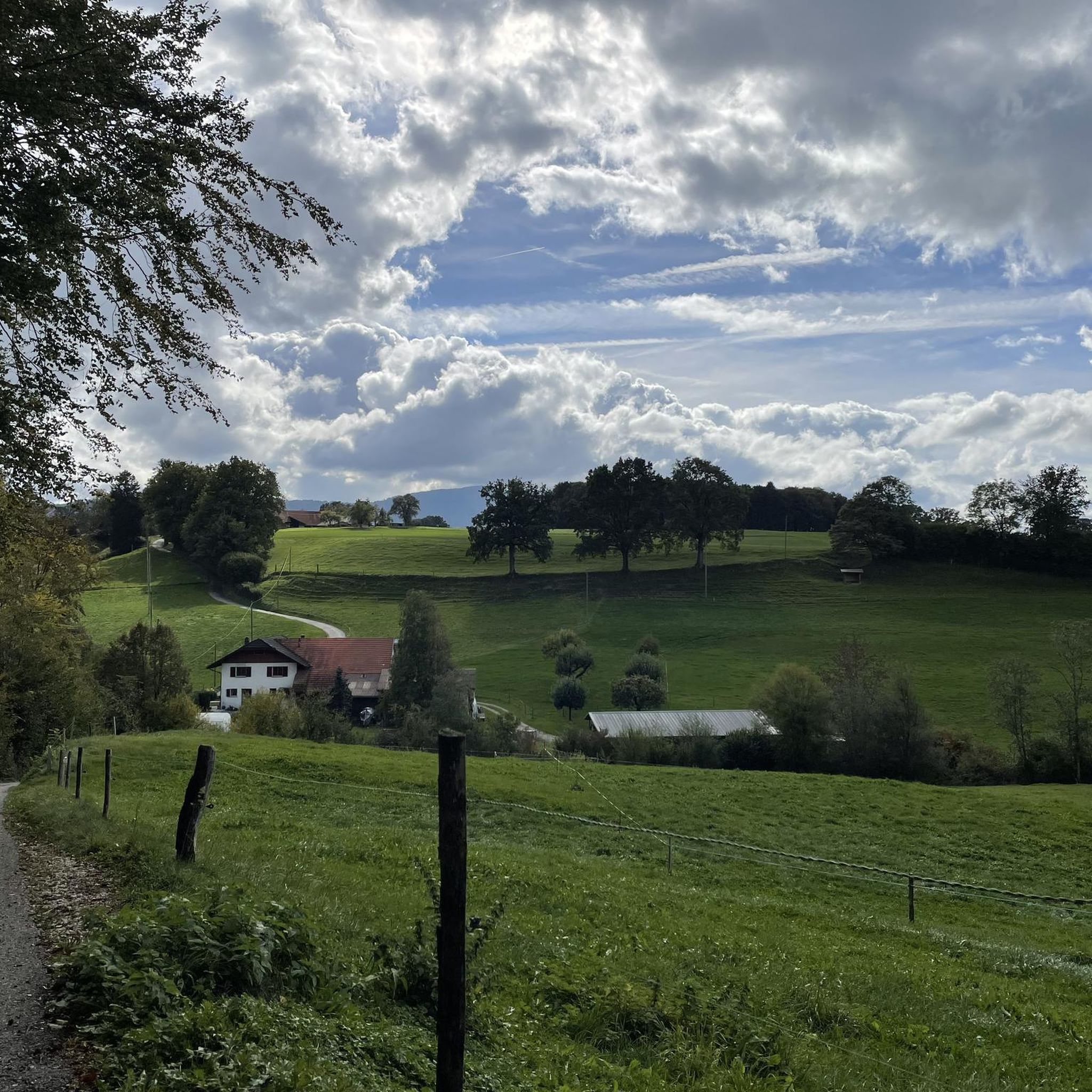
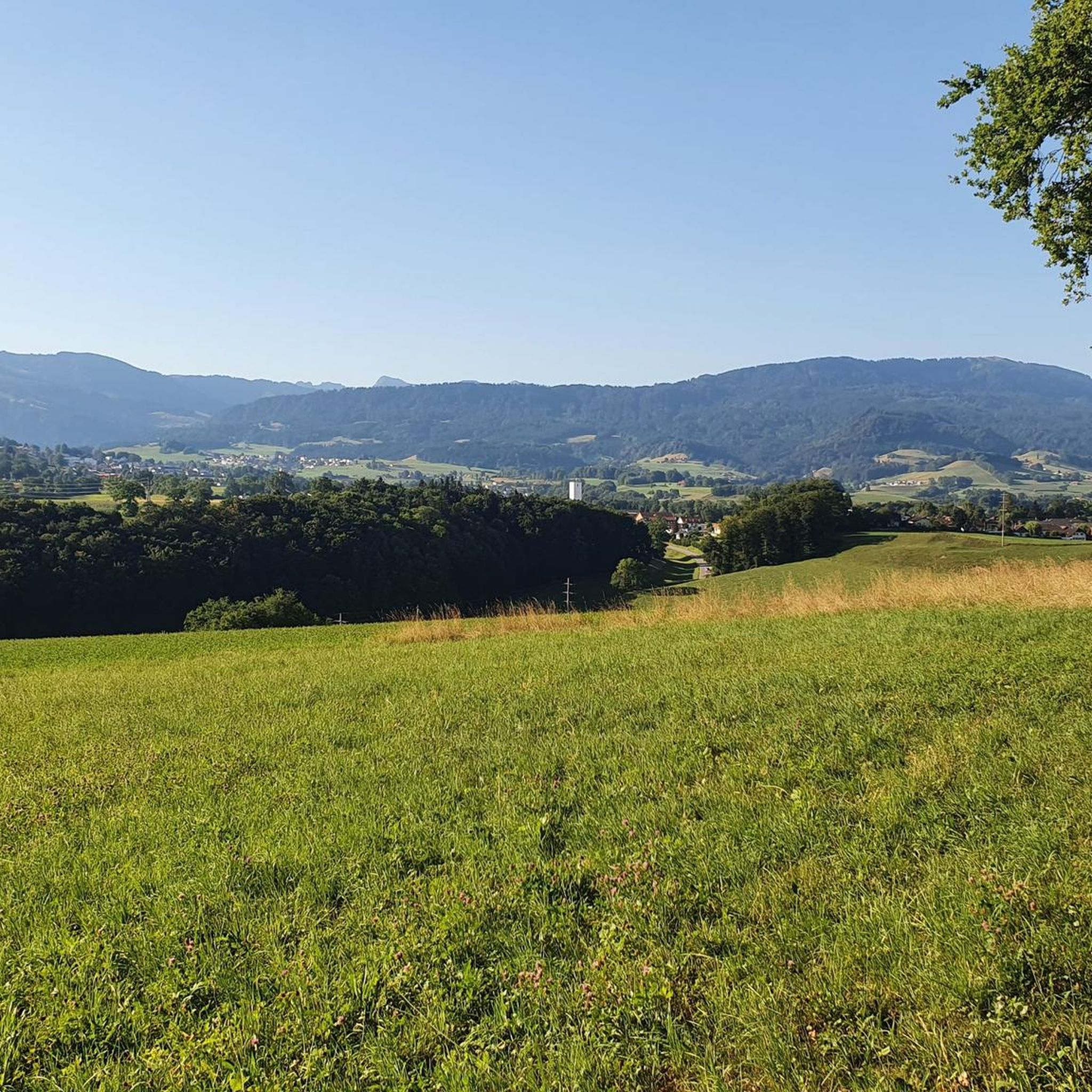
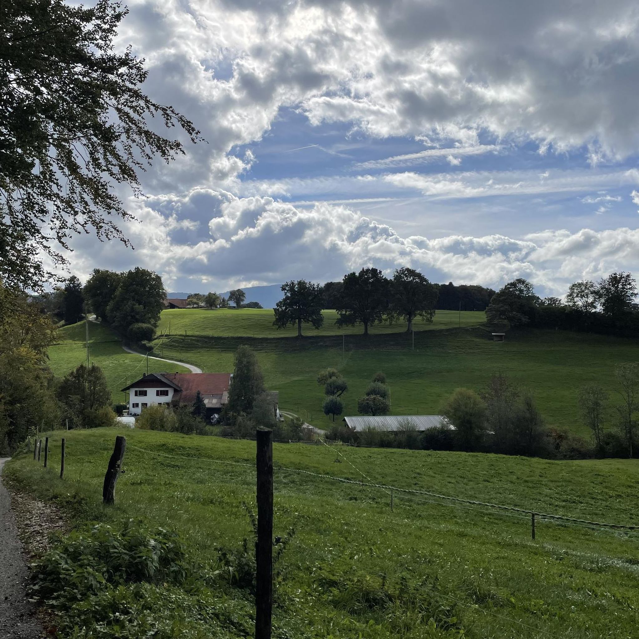
Schwarzeeの美しい眺め。PlaffeienからSchwarzseeの近くまで、根や分かれ道のある美しいハイキングコース/トレイルコースをSense川沿いに進みます。Schwybergへの登りは、一部26%の勾配があります。標準のKomootマップや衛星写真では、実際には存在しない道が部分的に描かれています。Swiss Topoマップを使用してください。Schwybergからは、Gantrisch地域、Fribourg市、そしてSeelandの3つの湖の美しい眺めが楽しめます。大きなSchwybergからは、レストランGurliへの素晴らしいバイク/ハイキングトレイルがあります。Plaffeienの上部には多くのトレイルがあります。しかし、レストランGurliの下からの道がなかったため、それらを見つけることはできませんでした。 Plaffeienからのアクセス、またはGurliを経由せず直接Alp Grosser Schwybergからのアクセスが可能かもしれません。
0
0

ラ・ベラ(1,719 m)は、フリブール・プレアルプスの最も美しい展望の良い頂の一つです。頂上からは、グルイエール湖、周辺のジュラ山脈、そして空気が澄んでいればベルナー・アルペンやヴォー・アルペンまで見渡せます。いくつかのハイキングコースが頂上まで続いています。特に魅力的なのは、広大な高山の牧草地を巡る周回ハイキングです。
4
0

最高の場所だけど、人が多すぎる…。
0
0

A beautiful viewpoint that you have to earn (steep stairs to the viewpoint). It's quite busy on weekends when the weather is nice.
0
0


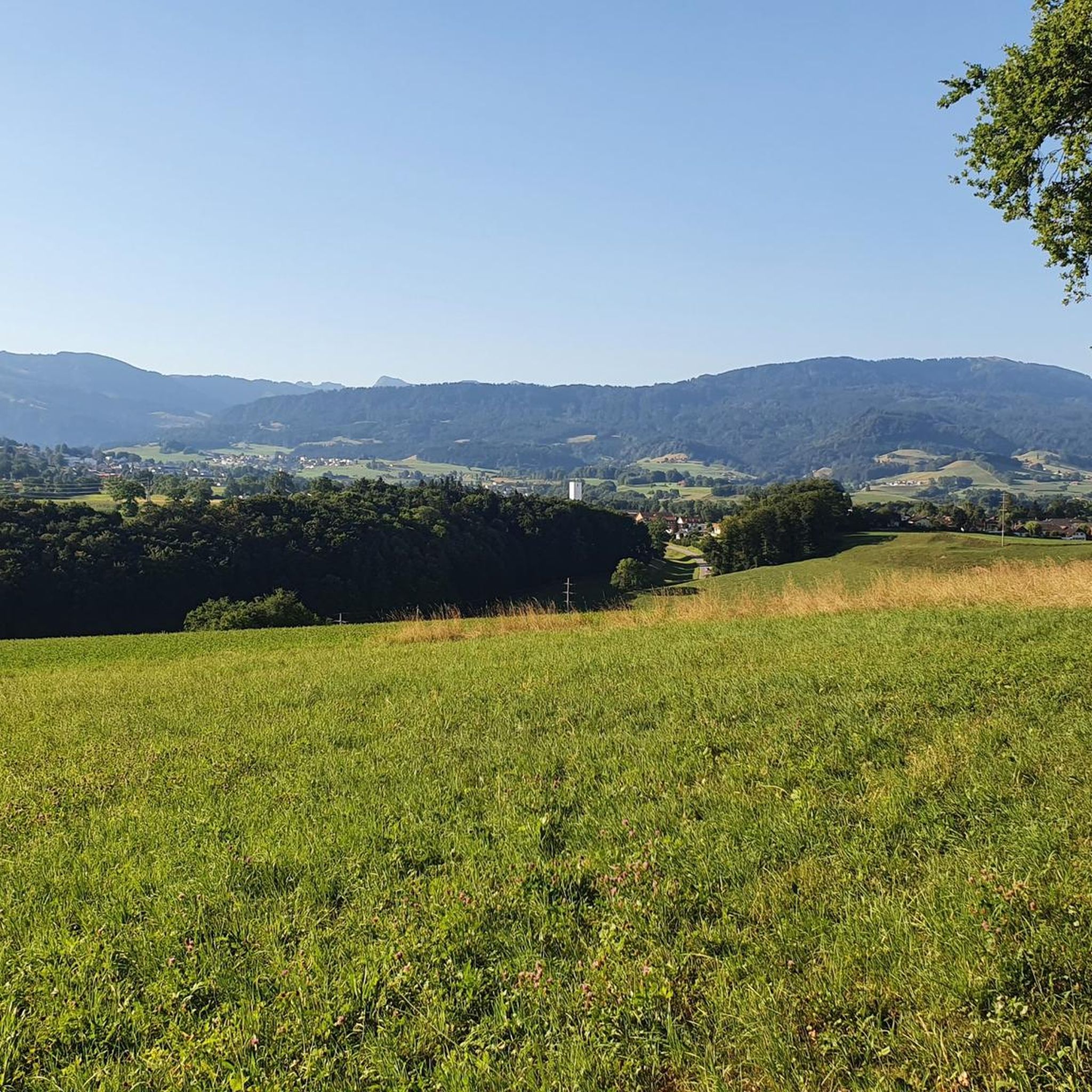
Cousimbert is a summit in the Swiss canton of Fribourg, with an altitude of 1,633 meters. It offers a breathtaking view of Lake Gruyère and the surrounding Alps. One of the best ways to enjoy this scenic spot is to hike the Cousimbert Circular Trail, a moderate 5.8-mile loop that leaves from the Grau Rappo parking lot and passes several alpine huts where you can sample local specialties. The trail is suitable for running and is best visited from May to October. If you're looking for a challenge, you can also extend your run to the nearby peak of La Berra, which is 1,719 meters high and has a cable car station. Whether you choose the shortest or longest route, you will be rewarded with breathtaking views and a memorable experience.
2
0

Super nice round from Berra to Käsenberg
0
0
テントリンゲンでのの人気観光スポット

komootモバイルアプリでインスピレーションを得よう


さらに探索
これらのガイドでさらに素晴らしい頂上を見てみましょうテントリンゲンでの:
