ヴァッレ・アグリコラの天然記念物・トップ16
ヴァッレ・アグリコラが誇る美しい風景を見てみたいなら、ヴァッレ・アグリコラの素晴らしい天然記念物・トップ16
に行ってみましょう。あなたにぴったりの場所が見つかるよう、素晴らしい天然記念物を探索するために必要なすべての情報を集めました。次のアウトドアの冒険に出かける計画の参考にしましょう。
最終更新日: 8月 21, 2026
モンテ・ミレット山頂
ハイライト • 山頂
翻訳者 Google •
役立つ情報 は

ラ・ガッリノーラ山頂
ハイライト • 山頂
翻訳者 Google •
役立つ情報 は

今すぐサインアップして、こんな場所を発見しよう
最高のシングルトラック、ピーク、その他のエキサイティングなアウトドアスポットのおすすめを受け取ろう。
無料新規登録
プンタ・ジュリア(アンティチマ・デッラ・ガッリノーラ)
ハイライト • 山頂
翻訳者 Google •
役立つ情報 は
フォンテグレカのイトスギ林
ハイライト • 森
翻訳者 Google •
役立つ情報 は

無料アカウントで今日から始めよう
次の冒険が待っています。
ログインまたは登録


コミュニティからのヒント

The Cipresseta di Fontegreca is one of the most well-equipped natural areas in the Matese: a forest of centuries-old cypress trees crisscrossed by streams, waterfalls, and shaded paths. There is a €3 entrance fee to the park, which allows for sustainable management of the area. Visitors have access to picnic tables, shaded areas for laying out a towel, public restrooms, and a seasonal shuttle service from the parking lot.
1
0

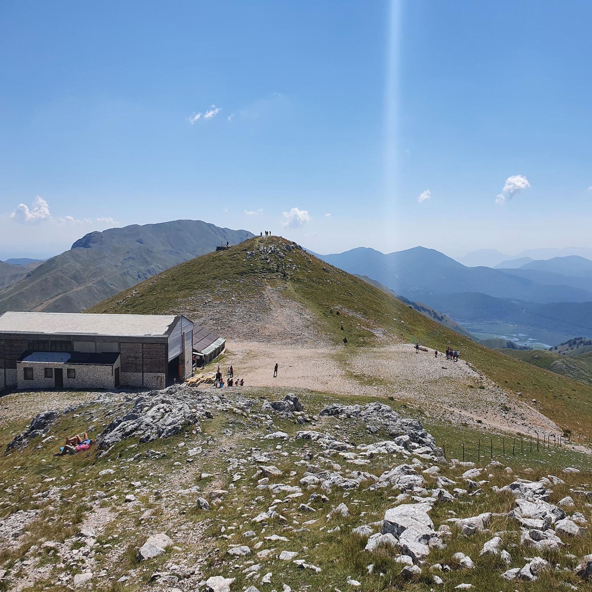
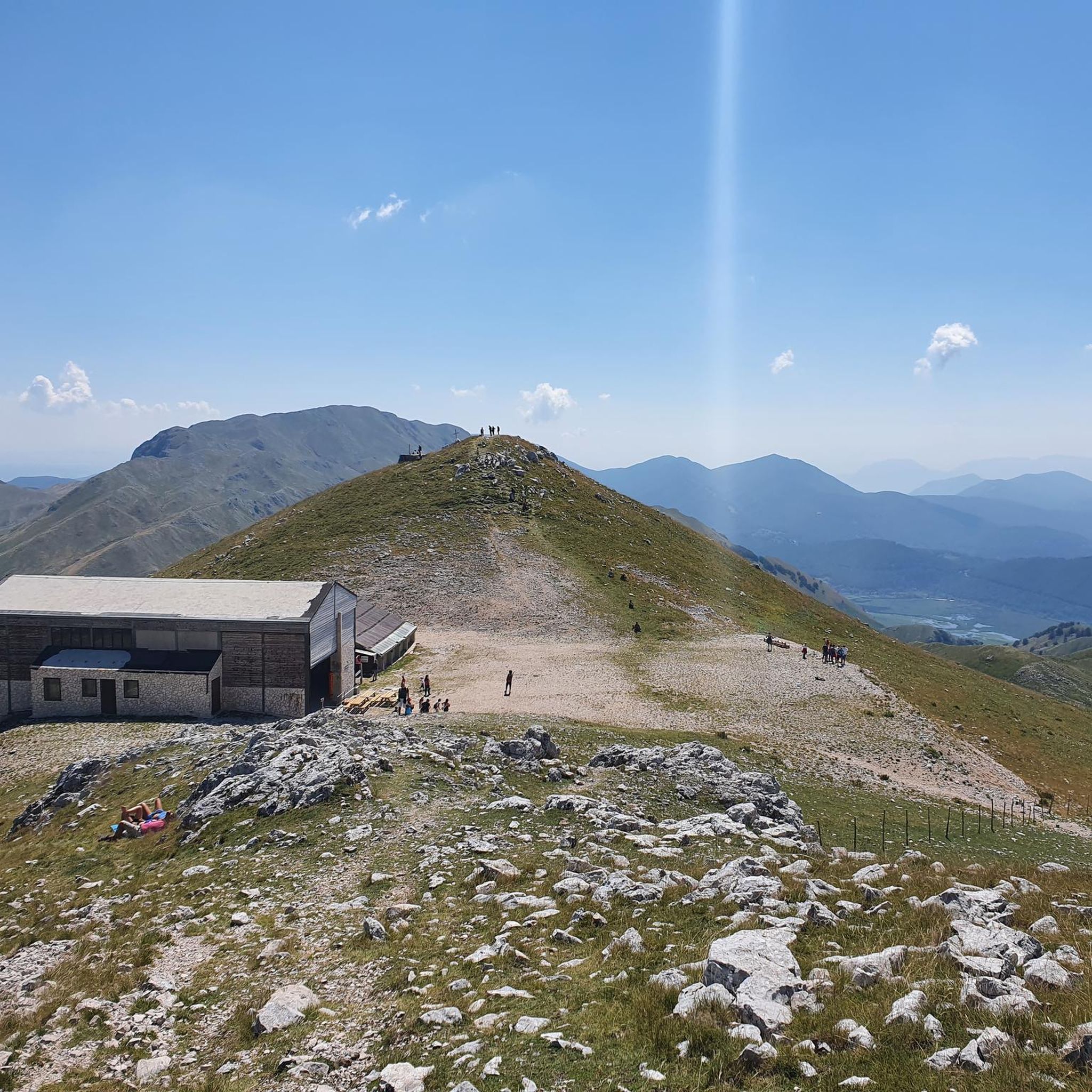
Gallinola (1,923 m above sea level) is the second highest peak in the Matese range and is located in Molise. It can be reached from Campitello Matese via a 5.5 km hike and an elevation gain of just under 500 meters. The view from the summit is spectacular, stretching from the Maiella to the Tyrrhenian Sea, clearly visible in good weather.
1
0

A short hike with no particular difficulties. The trailhead from Campitello Matese is unmarked and difficult to identify. The trail itself is poorly marked. For those like me who'd never done it, it's essential to follow the trail on an app or similar. The descent was made by descending from the chairlift side (which doesn't operate and doesn't appear to be in operation anymore), then descending along the ski slope, which halfway through features a barbed wire barrier (!) that I had to cross.
0
0

Challenging route with a difference in altitude of about 600m, starting from the Ecocamous refuge located in the Santa Maria valley. During the route you will encounter woods, valleys and a beautiful view of Lake Matese. The route leads to the highest peak in Campania, La Gallinola (1923m)
0
0

The cypress grove is accessible with the payment of 3 euros per person. It can be reached by shuttle, offered by a local association that takes care of it following the payment of 1 euro per person. It is an enchanting place to refresh and stop for a picnic. From there, several challenging and unmarked paths (mule tracks) wind towards the highest parts of the ridges where it stands, to be followed with caution.
0
0

Getting there from the Santa Maria refuge was a slog but when you admire the view you understand that it's worth it
3
0

The Bosco degli Zappini, better known as the "Cipresseta di Fontegreca", is one of the major symbols of the Matese Park. It is the subject of study because it is the only cypress forest of this size in Italy. Here there are also some fascinating waterfalls and natural pools.
1
0

ヴァッレ・アグリコラでのの人気観光スポット

komootモバイルアプリでインスピレーションを得よう


さらに探索
これらのガイドで、最高の洞窟を探す範囲を広げましょうヴァッレ・アグリコラでの:
