ギメルの天然記念物・トップ5
ギメルが誇る美しい風景を見てみたいなら、ギメルの素晴らしい天然記念物・トップ5
に行ってみましょう。あなたにぴったりの場所が見つかるよう、素晴らしい天然記念物を探索するために必要なすべての情報を集めました。次のアウトドアの冒険に出かける計画の参考にしましょう。
最終更新日: 9月 30, 2026
モン・タンドル山頂
ハイライト • 山頂
翻訳者 Google •
役立つ情報 は

ラ・サンティエ自然保護区とラック・ド・ジュウのアートトレイル
ハイライト • トレイル
翻訳者 Google •
役立つ情報 は

今すぐサインアップして、こんな場所を発見しよう
最高のシングルトラック、ピーク、その他のエキサイティングなアウトドアスポットのおすすめを受け取ろう。
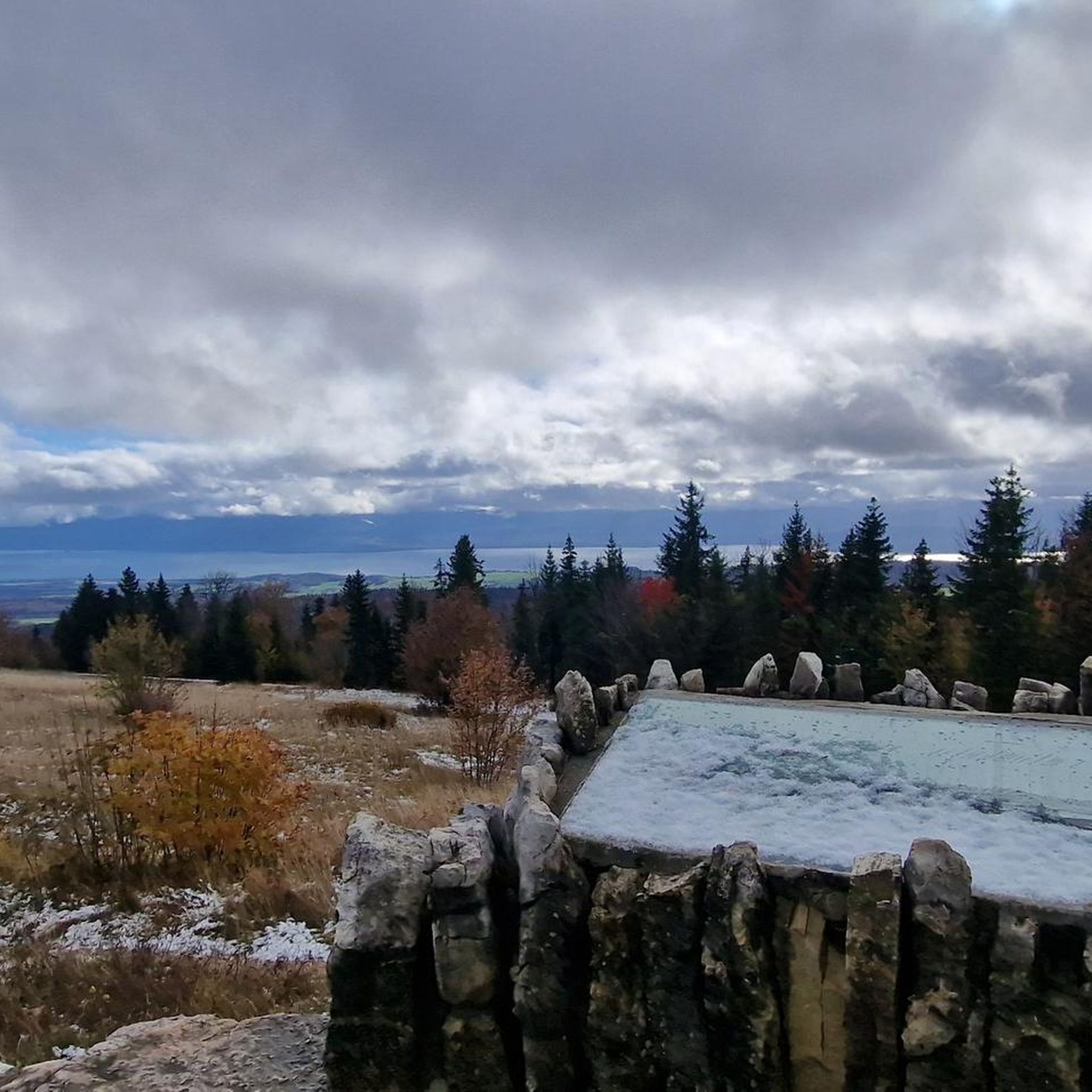
ラック・ド・ジュウ湿地の展望台
ハイライト • 展望台
翻訳者 Google •
役立つ情報 は
ボワ・ド・シェーヌ自然保護区
ハイライト • 森
翻訳者 Google •
役立つ情報 は

L’Eau Pendante
ハイライト • 自然記念物
翻訳を表示中
役立つ情報 は

無料アカウントで今日から始めよう
次の冒険が待っています。

コミュニティからのヒント


The website with all the information: https://boisdechenes.ch/distinctions-2020-prix-du-patrimoine-suisse-section-vaudoise-et-prix-europa-nostra/
0
0
In the middle of the forest is an old restored castle farm where there are toilets and a wonderful picnic area.
0
0

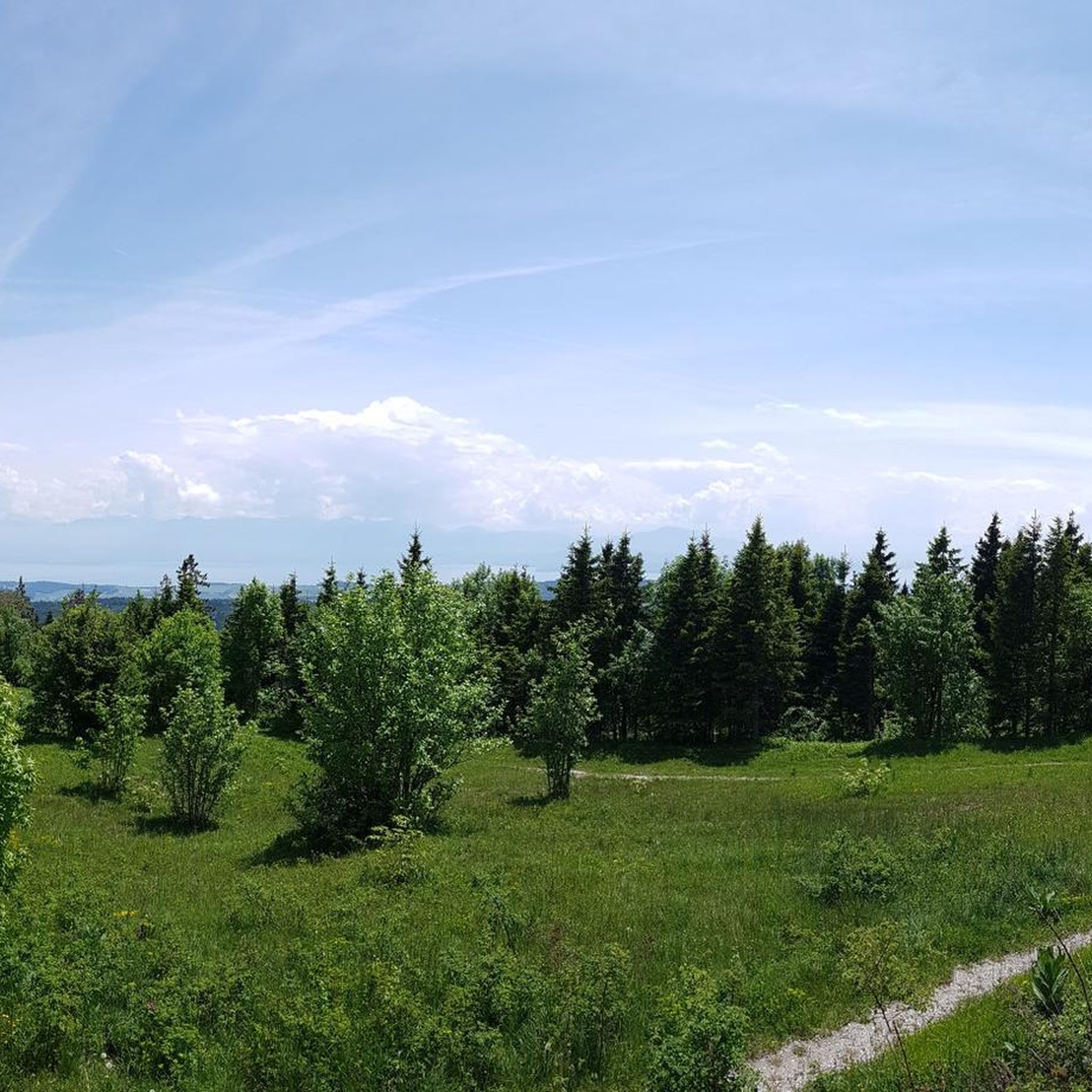
This hike to Mont Tendre is much more than just a mountain getaway. It is a personal experience that allows you to immerse yourself in Swiss nature, discover varied landscapes and create precious memories that will remain etched in your memory forever. Take full advantage of every moment of this unique adventure that is YOURS.
4
0

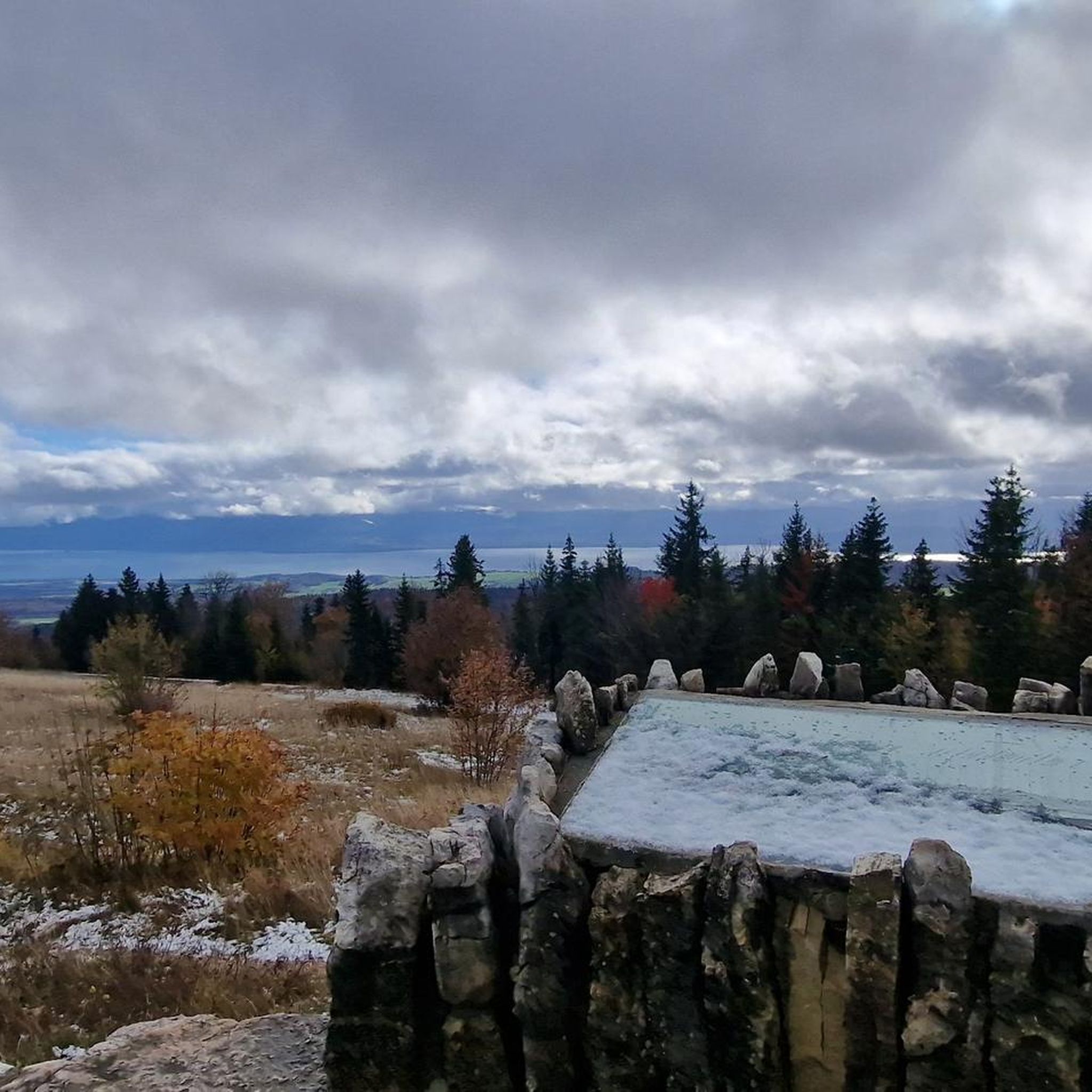
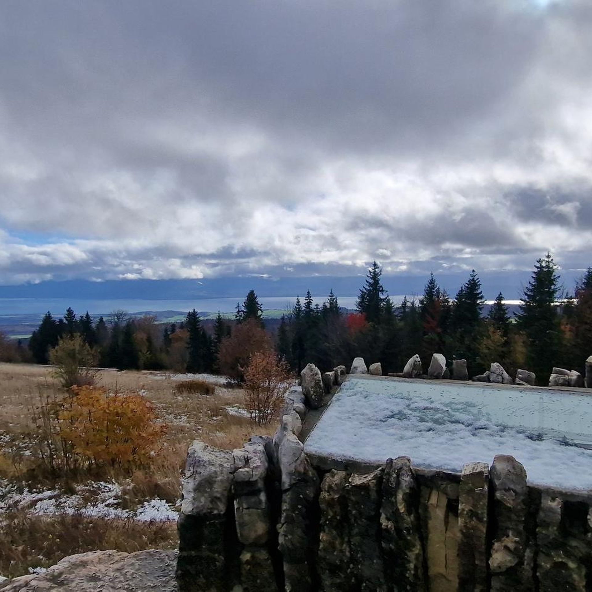
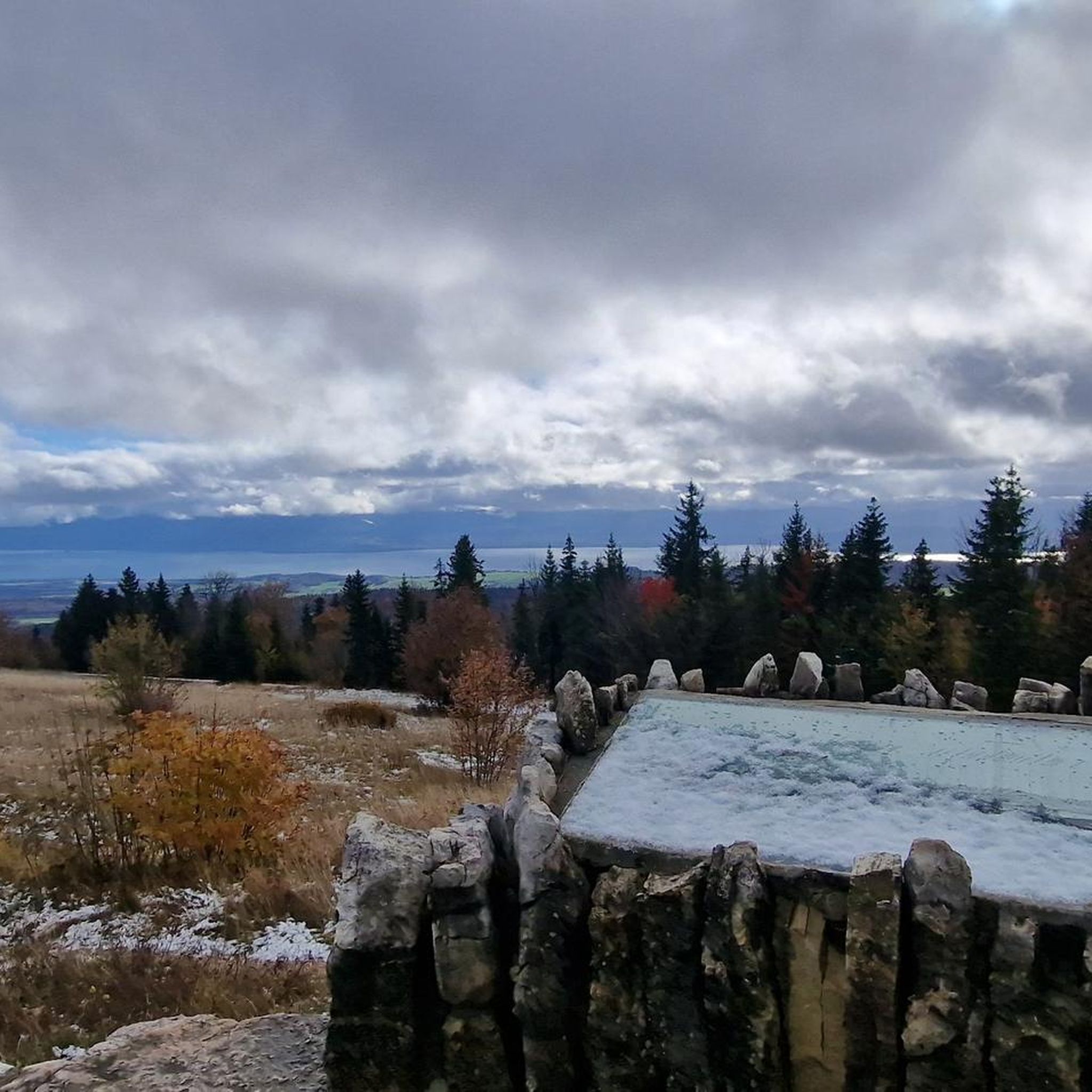
Did the hike up to Mont Tendre peak from & back down to Montricher in less than 3 hrs (>5km/h average), but I would recommend taking 1 hr extra for some breaks and enjoying the top longer. On the top itself, it was cold (extra clothing layers recommended) and *very* windy (early November). I left about 45min before daylight from Montricher, which gave some spectacular views on the way to the top & being above the clouds when reaching Pré Anselme - in that case, a flashlight is of course recommended because the walk through the forest will be dark.
4
2

The Mont Tendre is the highest summit of the Swiss Jura mountain range (1679m)
3
0

the highest mountain in the Swiss Jura the climb from the west requires a short portage
2
0
ギメルでのの人気観光スポット

komootモバイルアプリでインスピレーションを得よう


さらに探索
これらのガイドで、最高の洞窟を探す範囲を広げましょうギメルでの:
