クヴァルテンの天然記念物・トップ20
クヴァルテンが誇る美しい風景を見てみたいなら、クヴァルテンの素晴らしい天然記念物・トップ20
に行ってみましょう。あなたにぴったりの場所が見つかるよう、素晴らしい天然記念物を探索するために必要なすべての情報を集めました。次のアウトドアの冒険に出かける計画の参考にしましょう。
最終更新日: 10月 13, 2026
ゼーレンバッハ滝
ハイライト • 滝
翻訳者 Google •
役立つ情報 は

ヒンターラッグ
ハイライト • 山頂
翻訳者 Google •
役立つ情報 は

今すぐサインアップして、こんな場所を発見しよう
最高のシングルトラック、ピーク、その他のエキサイティングなアウトドアスポットのおすすめを受け取ろう。
マルゲルコプフ山頂
ハイライト • 山頂
翻訳者 Google •
役立つ情報 は
トゥール滝
ハイライト • 滝
翻訳者 Google •
役立つ情報 は


無料アカウントで今日から始めよう
次の冒険が待っています。
クヴァルテン周辺で人気
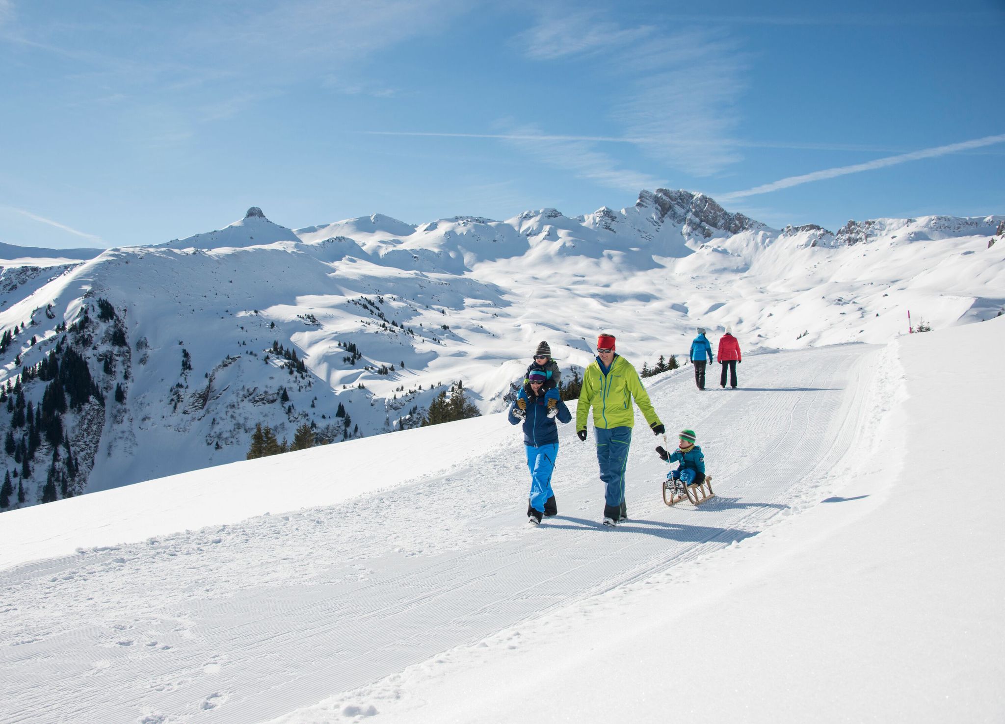
Family-friendly winter hikes in Eastern Switzerland

アルプスが創成された場所 - サルドナ・ワールドヘリテージ・トレイル
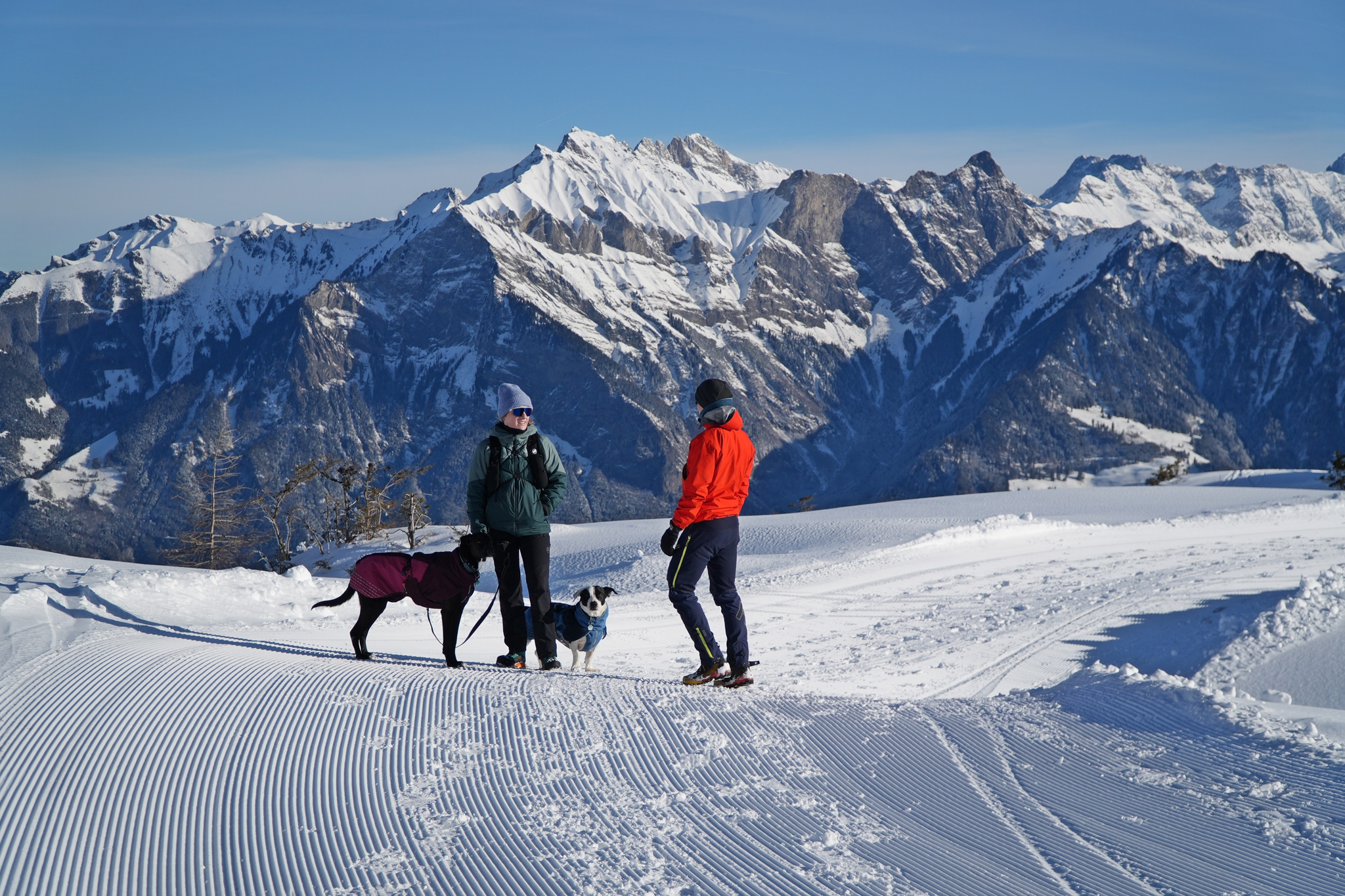
Enchanting winter hikes with dogs in Eastern Switzerland
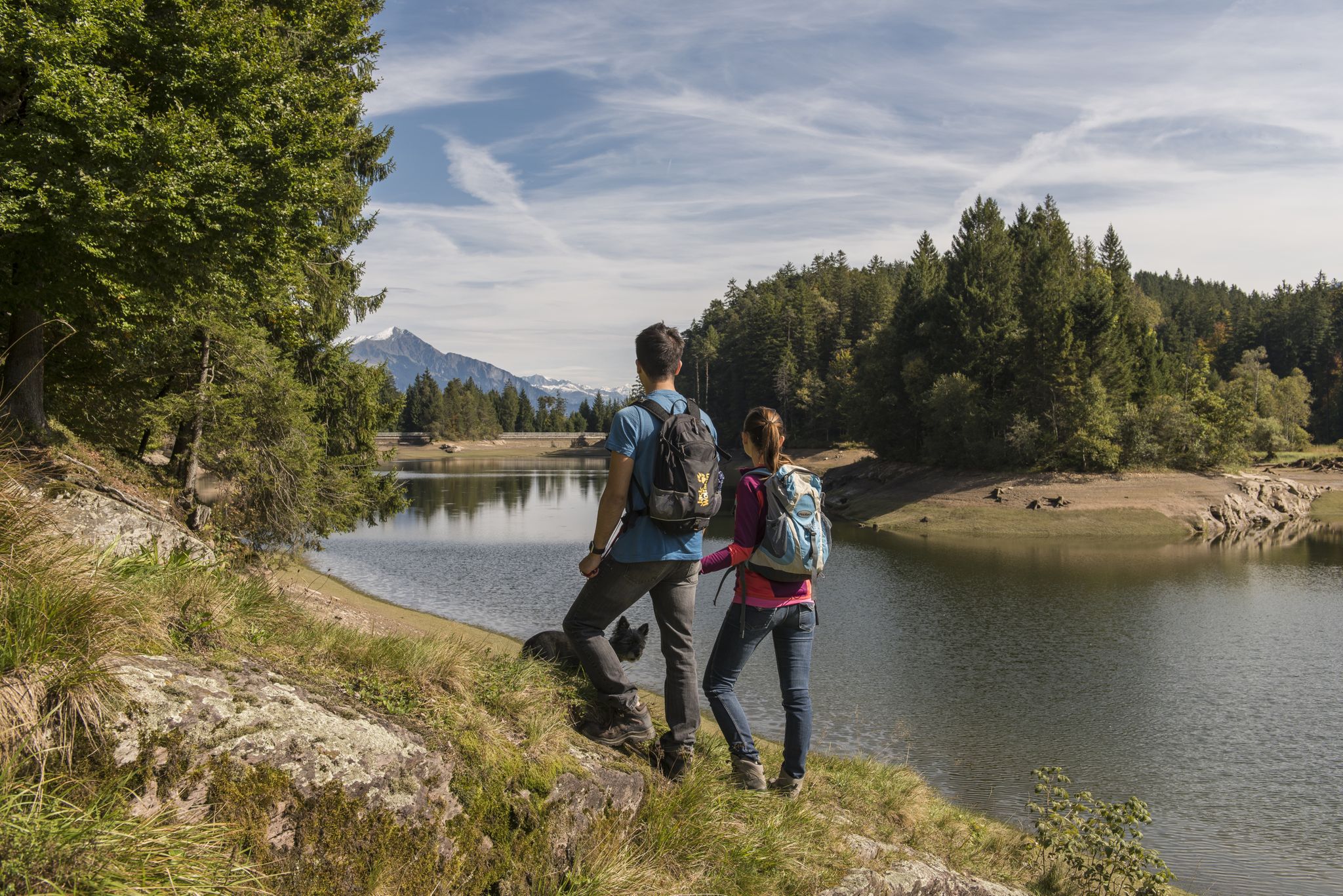
Summer in Eastern Switzerland – 10 hikes in Heidiland
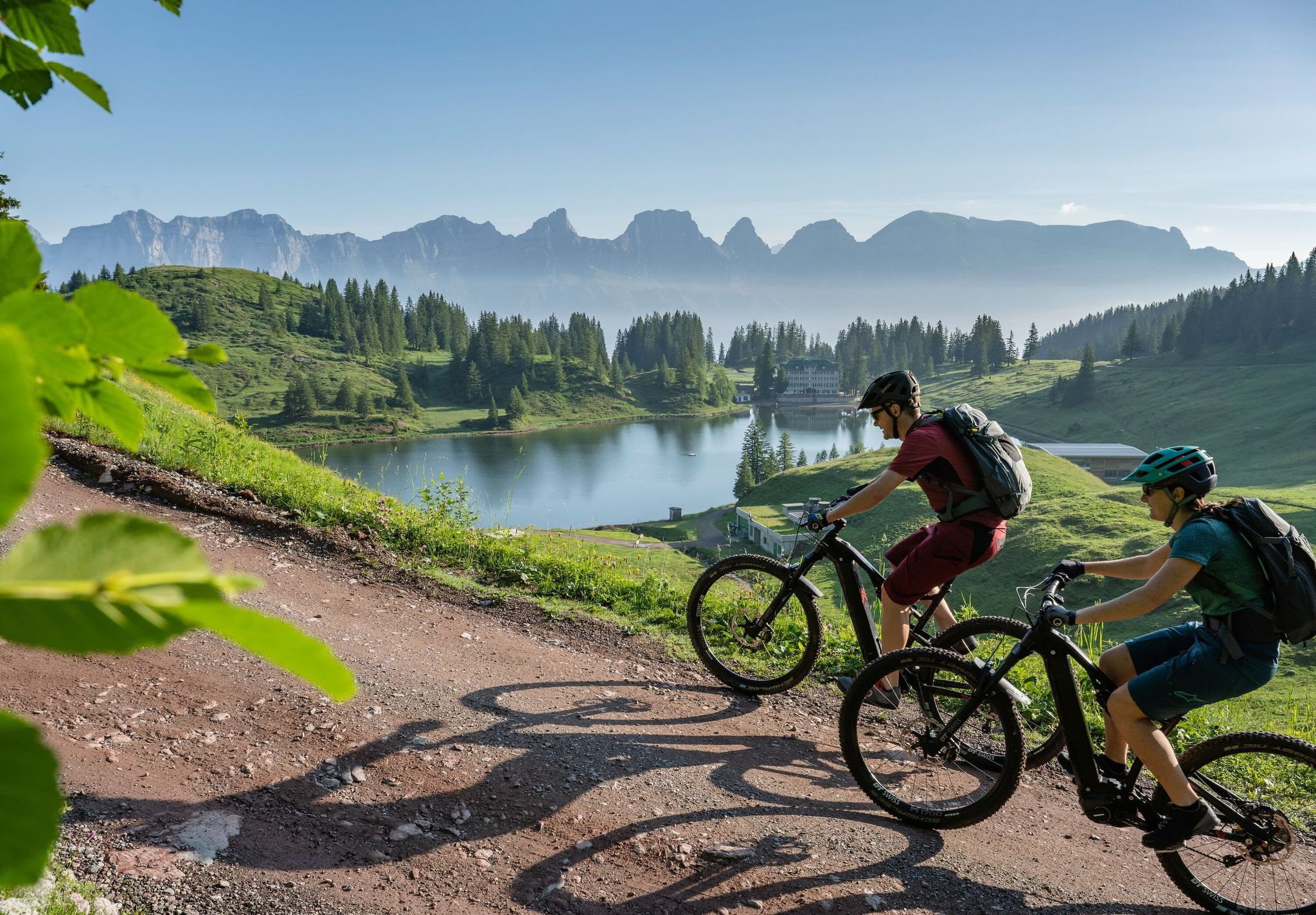
Up into the mountains with tailwind – eBike panoramic rides in the Heidiland

Blue lakes, wide panoramas & autumnal splendour – hiking in Heidiland
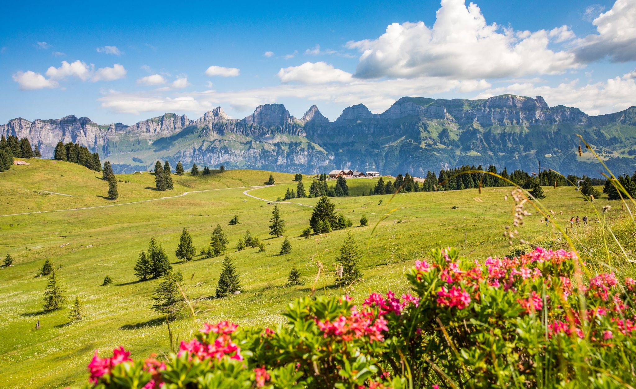
Pure Swiss mountain idyll – hikes in Heidiland
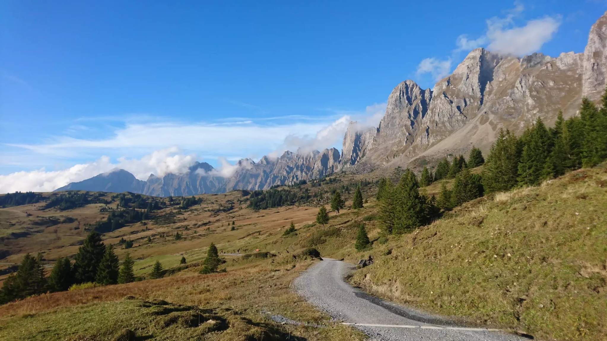
Wonderful panoramic bike tours over Lake Walensee
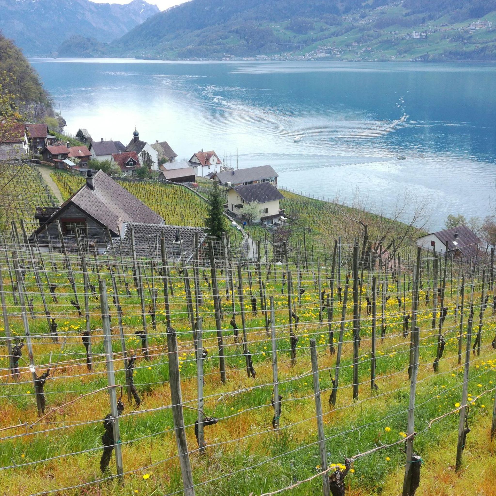
クヴァルテンでのハイキング
クヴァルテンのMTBトレイル
クヴァルテンでのの他の冒険


コミュニティからのヒント

The Hinterrugg (or Hinderrugg) is the highest peak (2306 m above sea level) of the Churfirsten group in the Appenzell Alps.
9
0
Great waterfalls, by the way, the highest in Switzerland.
8
0
The most beautiful local mountain in the world😎
8
2
Grabs' local mountain. Great views and great paths up.
8
0

Further information can be found at the following link: https://de.m.wikipedia.org/wiki/Thurf%C3%A4lle
2
1

Ascent. The easiest route (T2 according to the SAC hiking scale) leads from the Buchser Malbun over the Sisitzgrat from the south to the Margelchopf. A challenging hiking route with climbing sections (T4) runs over the northwest ridge. The very daring climb over the northeast edge or - not recommended - over the east flank. Source: Wikipedia
3
1

The mountain is fun even when the weather isn't great. With lots of clouds the view is very special 😉
2
0

komootモバイルアプリでインスピレーションを得よう


さらに探索
これらのガイドで、最高の洞窟を探す範囲を広げましょうクヴァルテンでの:
