ヴィセン(SO)の天然記念物・トップ20
ヴィセン(SO)が誇る美しい風景を見てみたいなら、ヴィセン(SO)の素晴らしい天然記念物・トップ20
に行ってみましょう。あなたにぴったりの場所が見つかるよう、素晴らしい天然記念物を探索するために必要なすべての情報を集めました。次のアウトドアの冒険に出かける計画の参考にしましょう。
最終更新日: 9月 2, 2026
ヴィーゼンベルク展望塔
ハイライト • 記念碑
The forest grew higher and higher, making it necessary to expand the tower.
翻訳者 Google •
役立つ情報 は

ベルヒェンフルー山頂展望台
ハイライト • 山頂
翻訳者 Google •
役立つ情報 は
今すぐサインアップして、こんな場所を発見しよう
最高のシングルトラック、ピーク、その他のエキサイティングなアウトドアスポットのおすすめを受け取ろう。
無料新規登録
Geissfluhgrat – アールガウ州の最高地点
ハイライト • 山頂
Unfortunately, from here you do not have the brilliant view as from the Geissflue.
翻訳者 Google •
役立つ情報 は
ヴァルテンフェルス城
ハイライト • 城
wartenfels.ch
翻訳者 Google •
役立つ情報 は

グヴィデムフルエ尾根と第一次世界大戦の要塞跡
ハイライト • 歴史的な場所
翻訳者 Google •
役立つ情報 は

無料でサインアップして、さらに多くの自然記念物を発見しましょう ヴィセン(SO)での。
無料新規登録
すでにアカウントをお持ちですか?
無料アカウントで今日から始めよう
次の冒険が待っています。
ログインまたは登録
コミュニティからのヒント

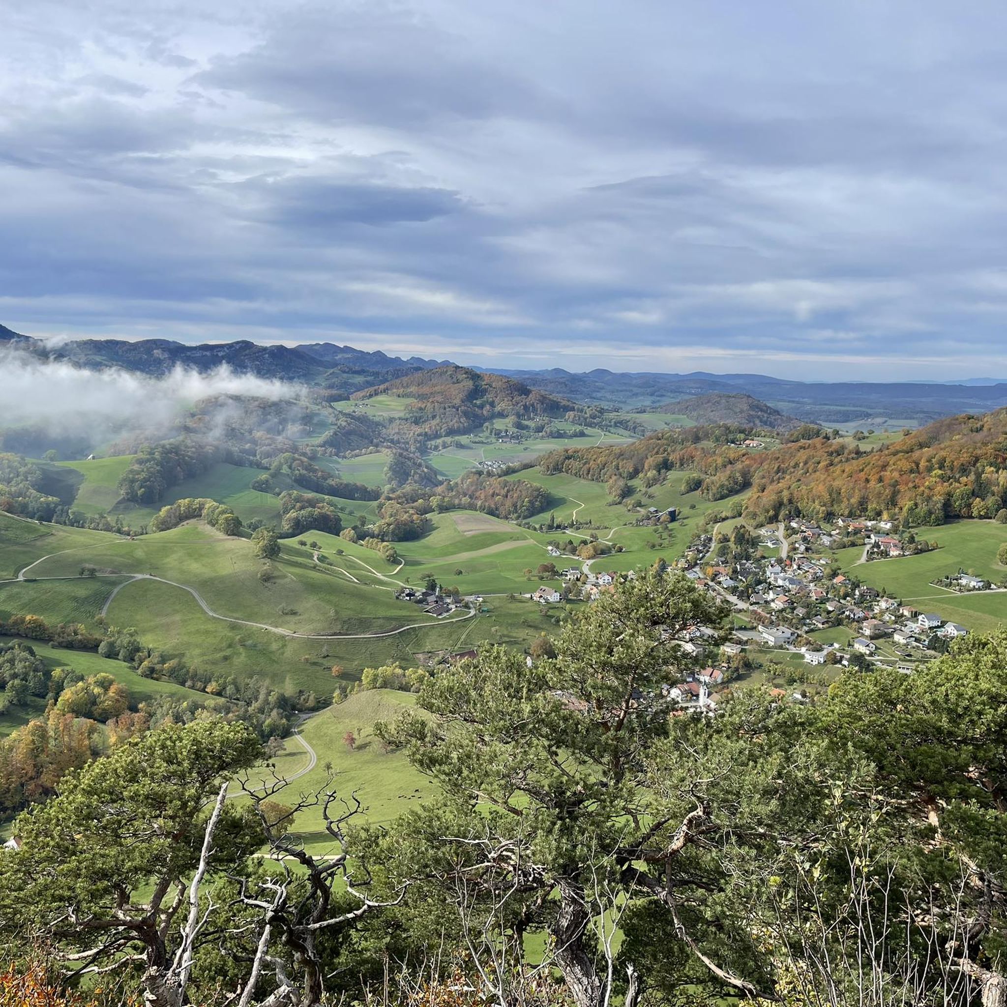
This viewpoint is located on the highest point of the Swiss Belchen on the border between Baselland and Solothurn and is best reached on foot. There are no public transport stations nearby. A car park is available 5 minutes on foot below the Chilchzimmersattel. From there it is a 15-minute hike to the Belchenfluh. Further information The famous "Belchenflue" viewpoint was used as an observation post in World War I and was blasted into its current form. The Belchensüdstrasse between Ifenthal and the Belchenflue commemorates the troops involved in the construction with numerous coats of arms, which immortalized themselves in the rock after the work was completed.
15
2
Since the Wiesenberg is in the forest, this observation tower makes sense. It takes hikers above the treetops and allows a 360-degree panorama. There are panorama boards. The climb is worth it.
6
0

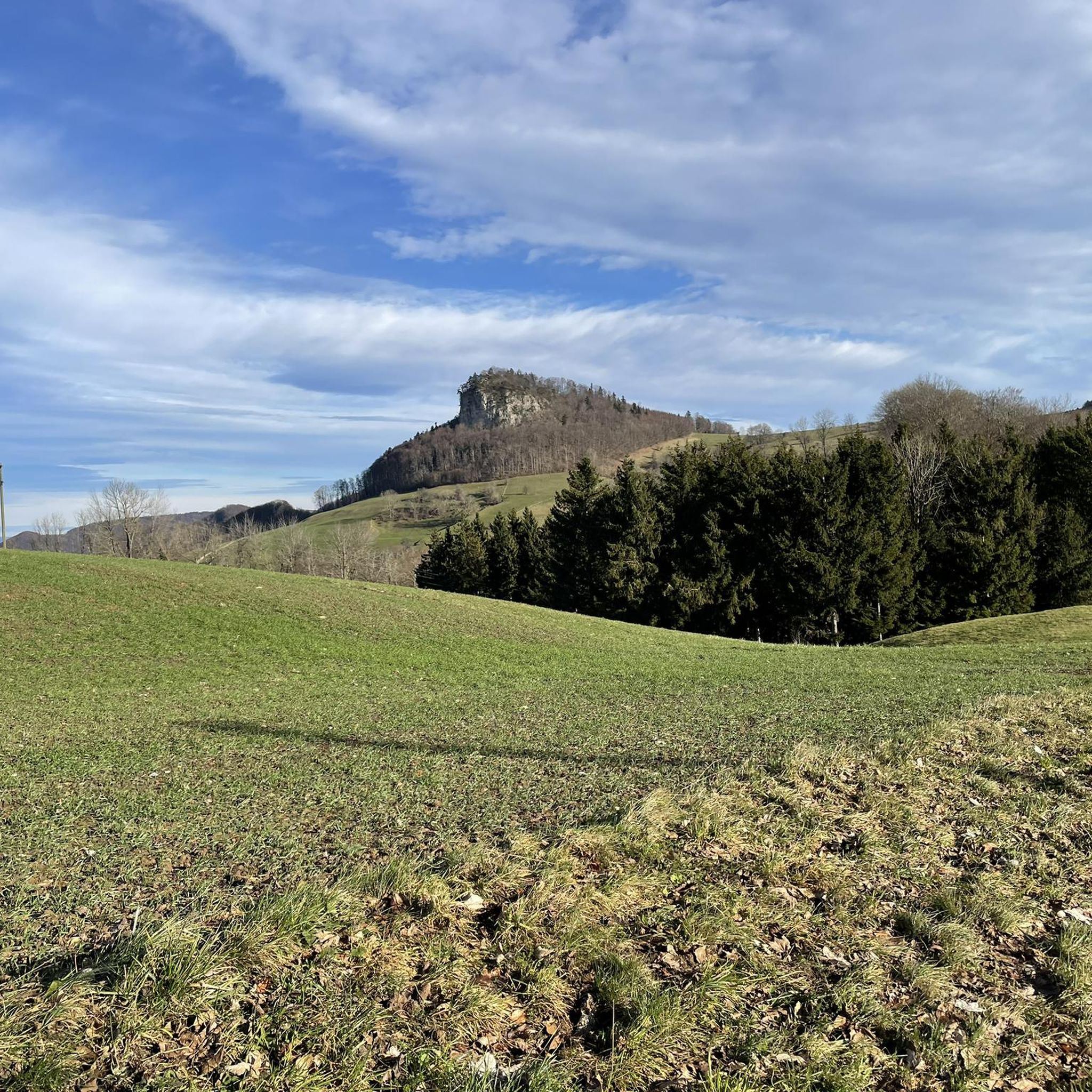
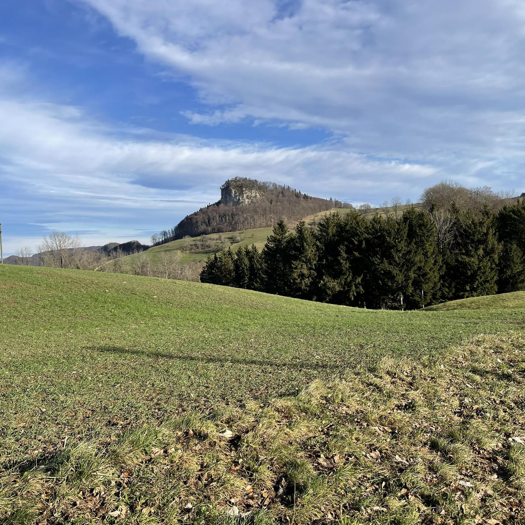
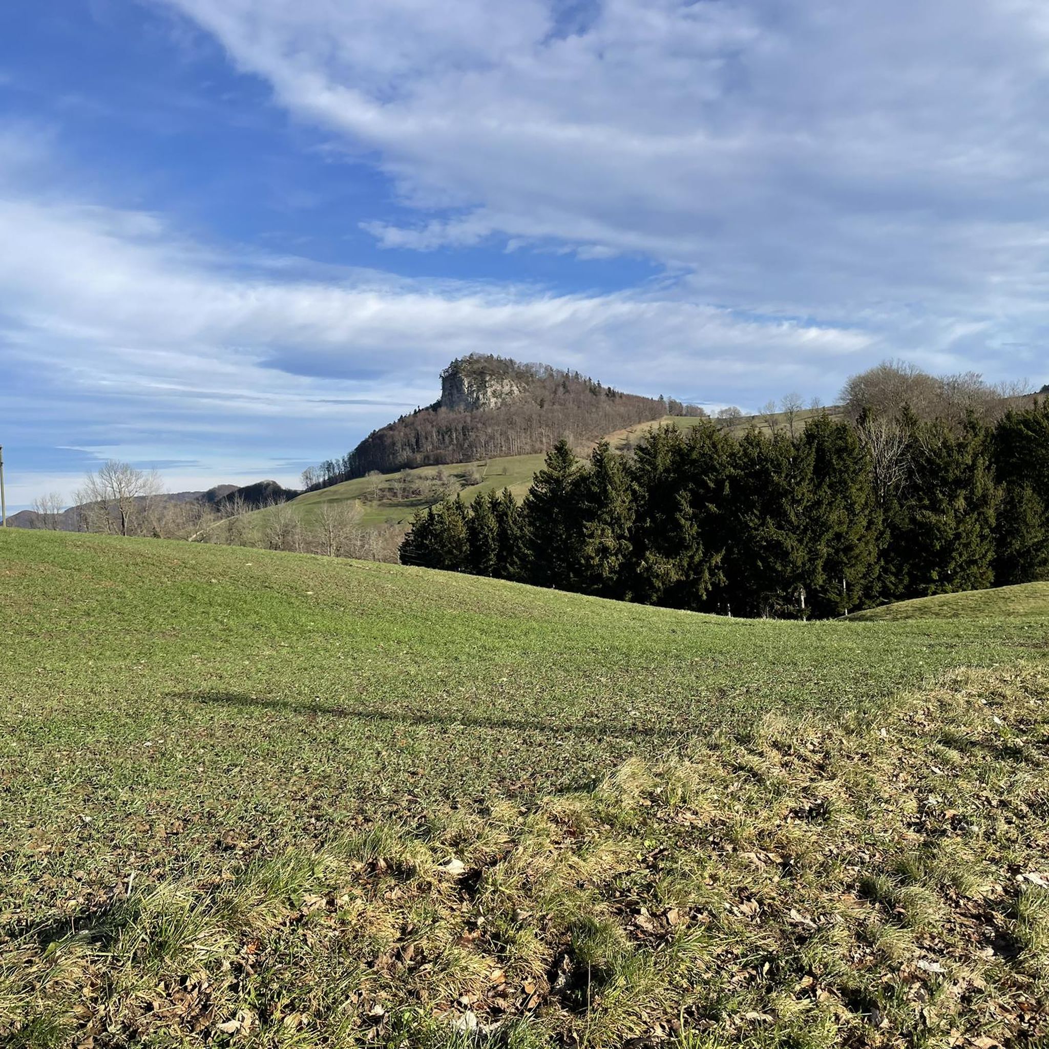
The path to the Gwidmenflue requires sure-footedness on both sides, but is easily doable with the necessary caution and concentration. Particular caution is required when it is wet as the rocks become very slippery. Once at the top, you can explore the old military facilities and enjoy the wonderful view.
1
0
Romantic paths over rocky ridges invite you to climb the Belchenflue at 1,099 m with a unique panoramic view. The viewpoint is located at the highest point of Belchen on the border between Baselland and Solothurn and can be reached on foot. https://www.baselland-tourismus.ch/poi/belchenfluh
6
0

Very nice path over the Belchenflue, sure-footedness is sometimes required, especially when it is wet
8
0

During the Second World War, this tower was used as an air observation post. The forest grew higher and higher, making it necessary to expand the tower. In 1953, it was increased by 6 meters and in 1987 by a further 9.5 meters.
8
0

My chicco felt big on the Top of Aargau ;-)
4
0

The way up to the Gwidemflue is really easy.
2
1

komootモバイルアプリでインスピレーションを得よう


さらに探索
これらのガイドで、最高の洞窟を探す範囲を広げましょうヴィセン(SO)での:
