ホムベルクの天然記念物・トップ20
ホムベルクが誇る美しい風景を見てみたいなら、ホムベルクの素晴らしい天然記念物・トップ20
に行ってみましょう。あなたにぴったりの場所が見つかるよう、素晴らしい天然記念物を探索するために必要なすべての情報を集めました。次のアウトドアの冒険に出かける計画の参考にしましょう。
最終更新日: 8月 20, 2026
ブルクフェルトシュタント山頂
ハイライト • 山頂
Highest peak of the so-called "Güggisgrat", which extends south of the Justistal over the Niederhorn to the Gemmenalphorn. Legend has it that this peak represents the ruins …
翻訳者 Google •
役立つ情報 は

ゲンメナルプホルン
ハイライト • 山頂
翻訳者 Google •
役立つ情報 は
今すぐサインアップして、こんな場所を発見しよう
最高のシングルトラック、ピーク、その他のエキサイティングなアウトドアスポットのおすすめを受け取ろう。
無料新規登録
シグリスヴィラー・ロートホルン
ハイライト • 山頂
翻訳者 Google •
役立つ情報 は
グリュッチュバッハタールの小川と洞窟
ハイライト • 川
翻訳者 Google •
役立つ情報 は


無料アカウントで今日から始めよう
次の冒険が待っています。
ログインまたは登録
コミュニティからのヒント

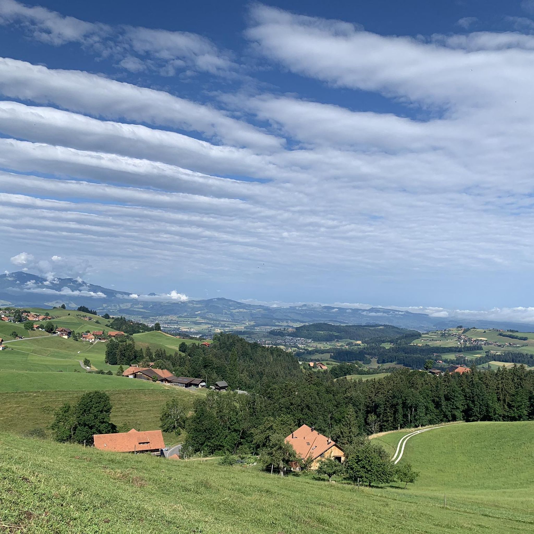
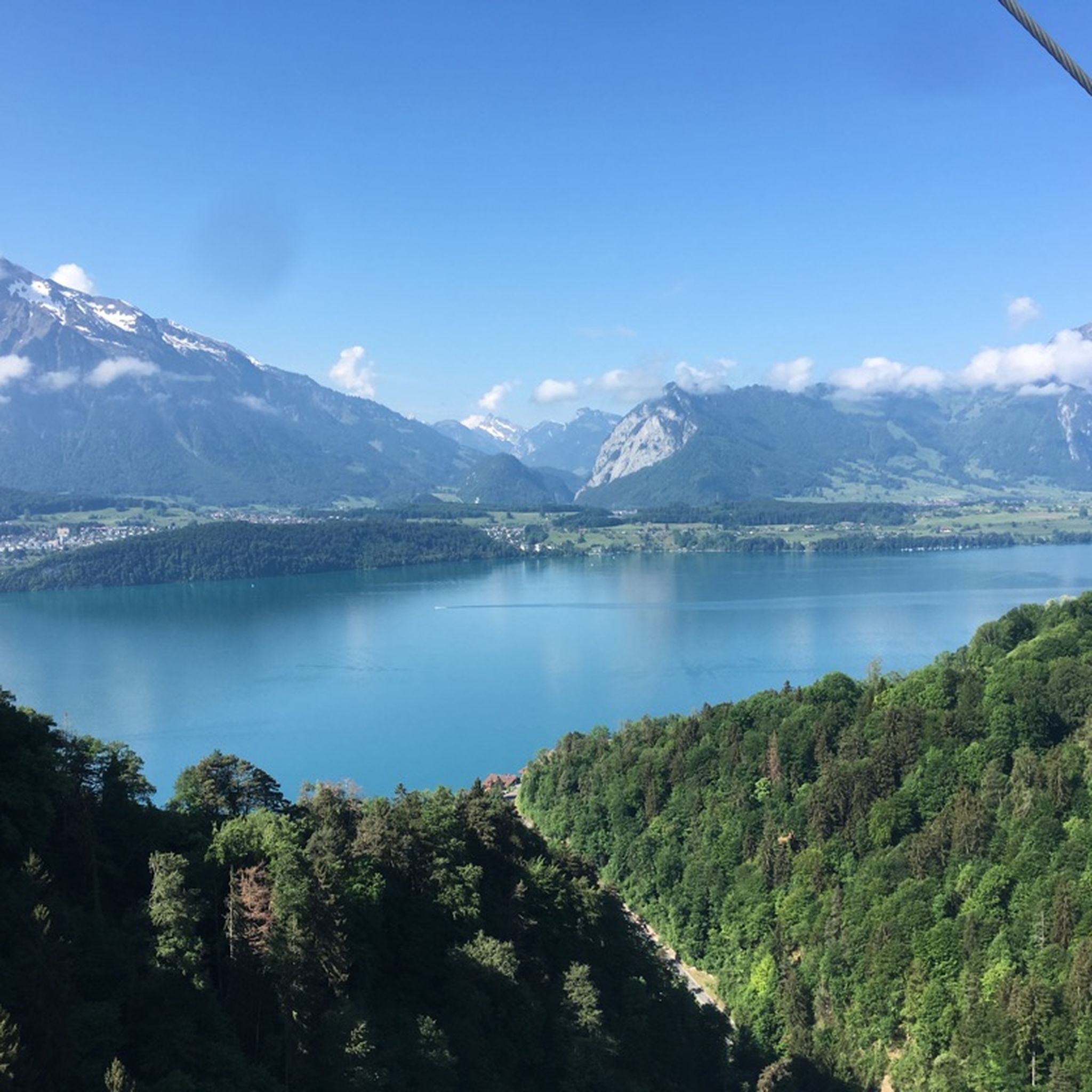
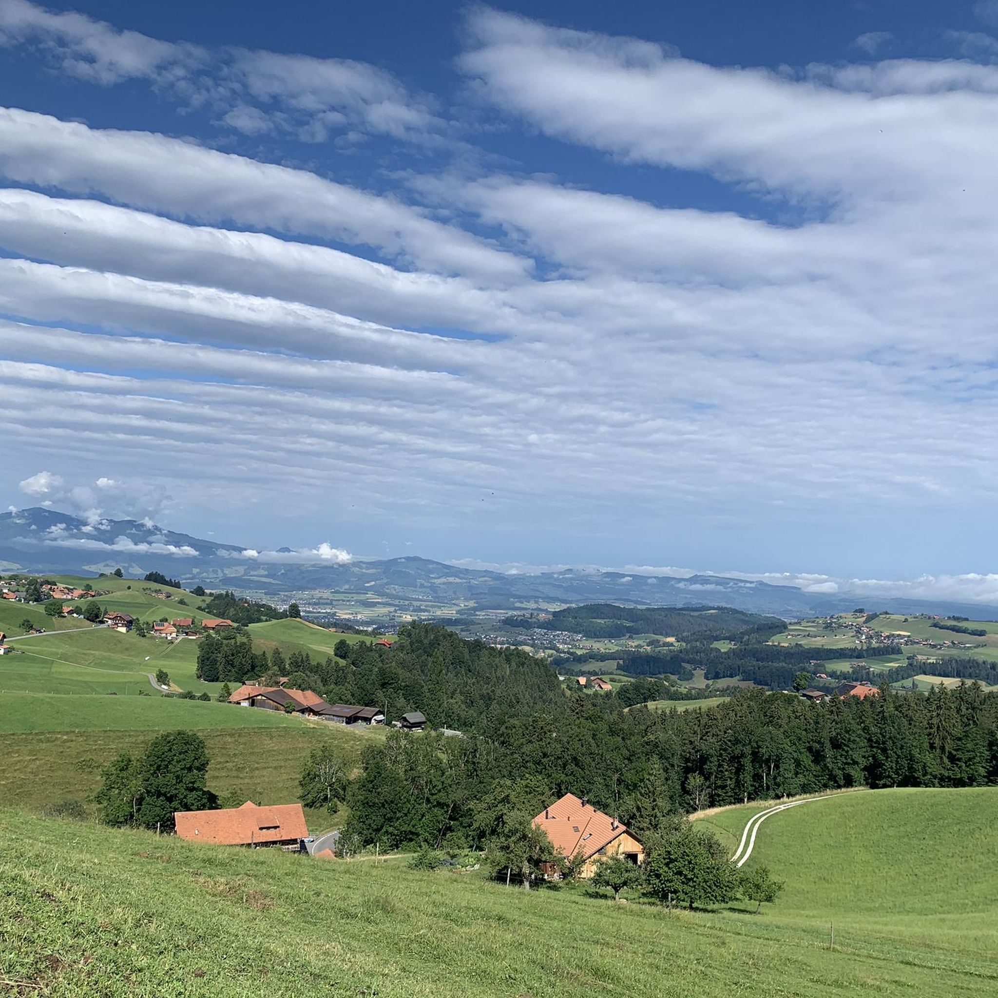
ゲメンアルプホルンは、トゥーン湖の上方に位置する景色の良い頂で、ニーダーホルンチェーンの一部です。特徴的な草の山は標高2061メートルに達し、アイガー、メンヒ、ユングフラウ、そして深い青色のトゥーン湖の印象的なパノラマを提供します。ニーダーホルンから景色の良い稜線を通るハイキングは特に人気があります。夏にはしばしばアイベックスが周辺に草を食んでいるため、この地域は動物観察者にも高く評価されています。標高が高いにもかかわらず、ゲメンアルプホルンは技術的には比較的簡単にアクセスでき、楽しみのためのハイカーに最適です。
2
0
東側からの登頂は、露出した場所にはまだ雪が残っている可能性があるため、春には非常に困難になることがあります。
2
0
Beautiful and little-frequented summit with panoramic views
7
0

Difficult ascent including easy climbing but at the top everything is forgotten, the effort was worth it, the view is amazing.
0
1

The Sigriswiler Rothorn (2,051 m) is an impressive vantage point high above Lake Thun ⛰️🌊. The ascent is mostly along the ridge and requires surefootedness and a head for heights ⚠️🥾 – caution is advised, especially in wet conditions. At the top, you'll be rewarded with a fantastic 360° panorama: views of the Eiger, Mönch, and Jungfrau, the Mittelland, and Lake Brienz and Lake Thun 🏔️👀 – ideal for a summit rest and impressive photos 📸. Equipment: Sturdy hiking boots, weather protection 🧥, provisions 🥪, water 💧. No food or drink options along the way. Recommendation: Set off early ⏰, and avoid the ridge in uncertain weather. An absolutely worthwhile summit for experienced hikers!
1
0
Wonderful vantage point. Can be reached on snowshoes from the Niederhorn mountain station in about an hour.
2
0

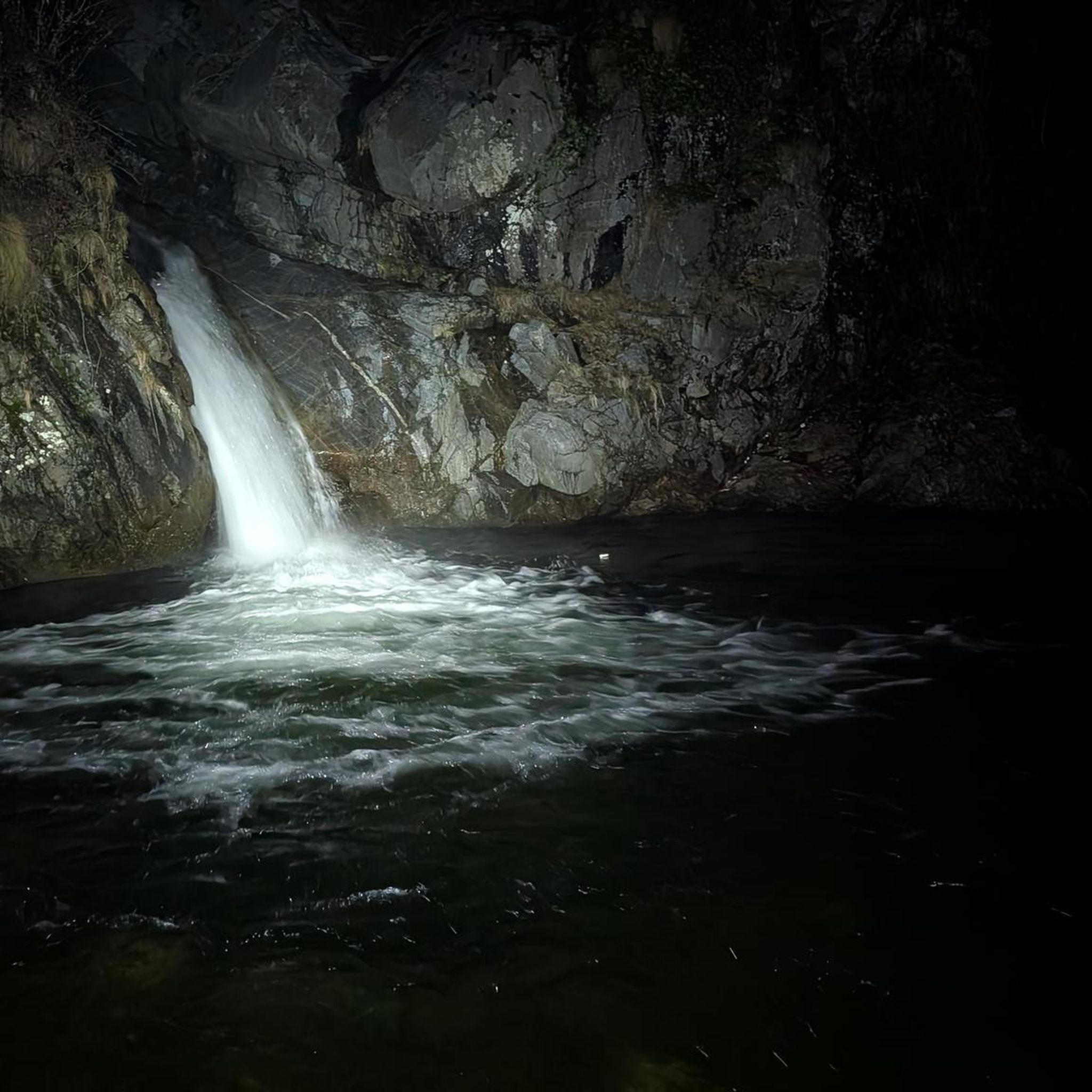
The Glütschbach or valley was the riverbed of the Kander until 1714. This also explains the deep incision for this small stream.
0
0

komootモバイルアプリでインスピレーションを得よう


さらに探索
これらのガイドで、最高の洞窟を探す範囲を広げましょうホムベルクでの:
